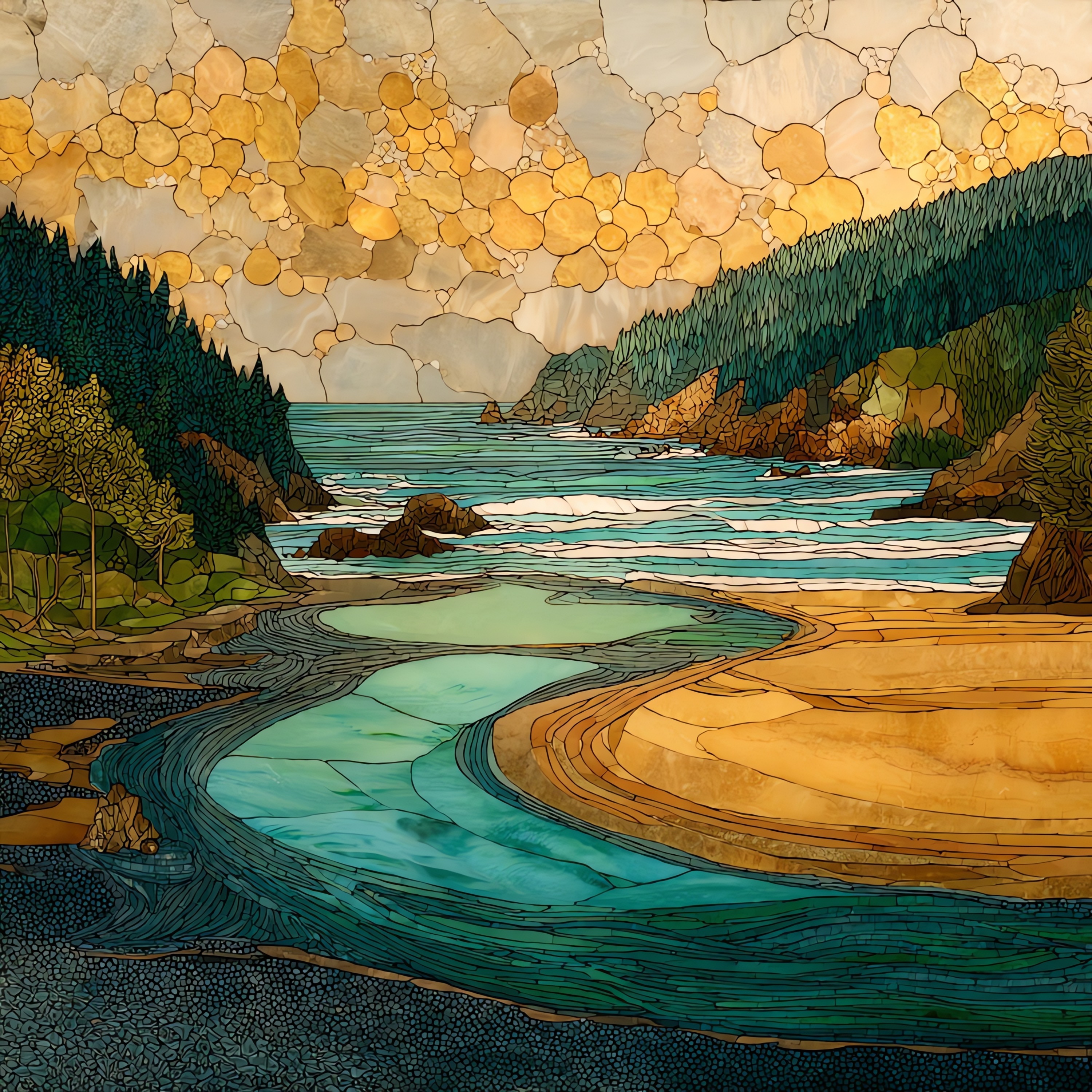
Klamath River Mouth
— the river finally giving itself to the sea.
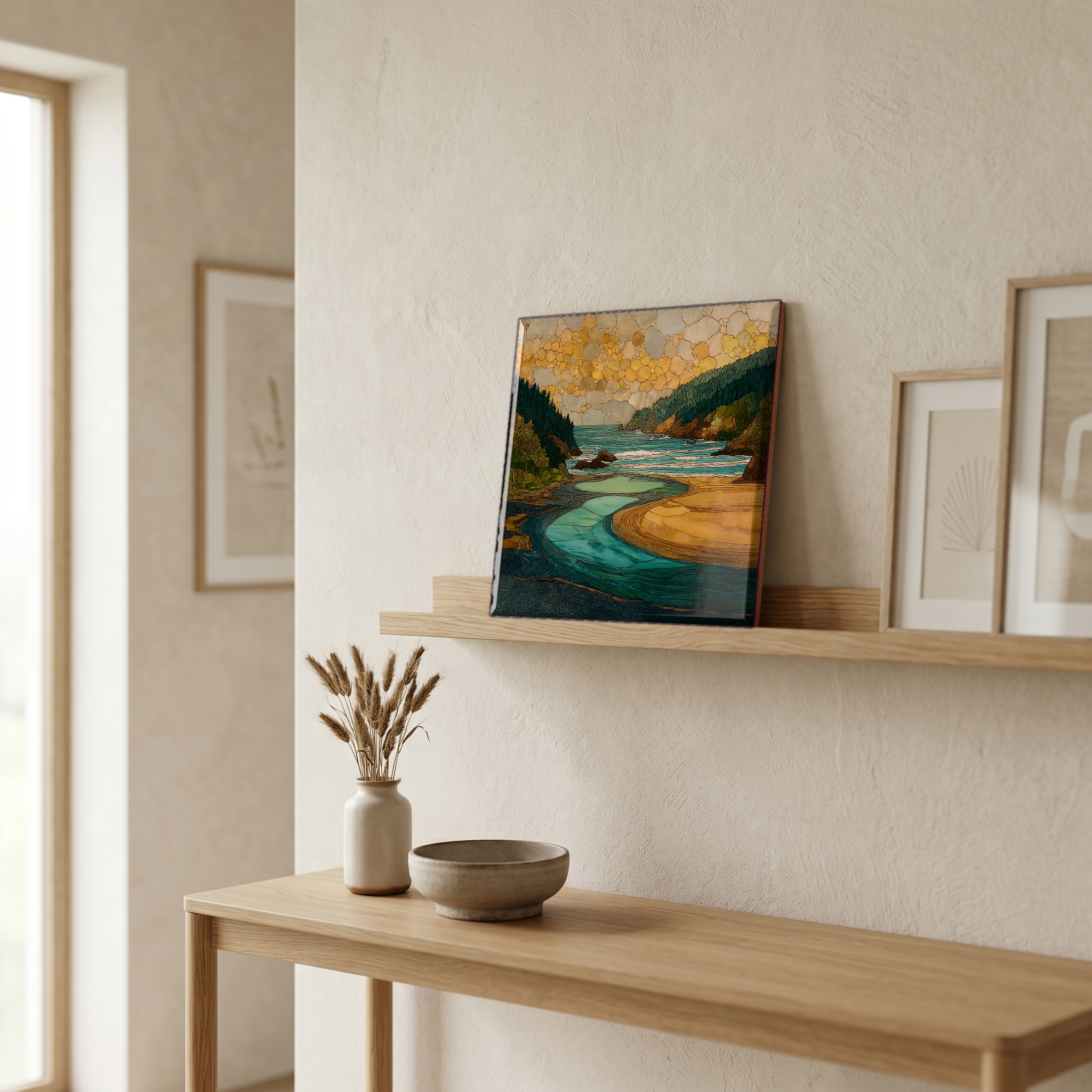
Not only on a wall.


“The mouth of the Klamath River on the Northern California coast. The second-largest river in the state finishes here, after 257 miles from Upper Klamath Lake in Oregon. The Yurok have lived along the lower river for thousands of years; the reservation still runs both banks. From the Klamath River Overlook six hundred feet above the water, the mouth shows itself: a thin shifting sandbar, a long line of Pacific fog, sometimes gray whales below in spring. In autumn 2024 the four lower dams came out, the largest dam removal in U.S. history, and the river began to remember itself.
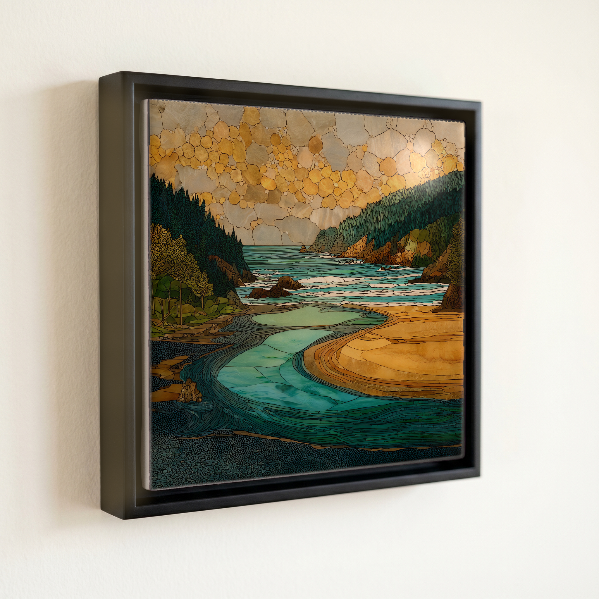
Klamath River Mouth, on ceramic.
Each tile is finished by hand in our Knoxville studio. Artwork is slowly infused into the ceramic surface under high heat and pressure, and rests beneath a thin glossy finish. The colour lives in the surface, not on top of it.
Pick any four 4-inch tiles — National Parks you've been to, a Smokies set, the four seasons of one place. $ for a set of , cork-backed, ready to live on the table.

Each tile ships in a kraft box, tied with cream ribbon, with a handwritten note from the studio if you'd like to add one.

Three or five different vistas, hung together — a chapter of places you've been, or want to go.
The place, in three passes.
The Klamath River mouth is on the Pacific coast of Del Norte County, California, where the river ends after a 257-mile course from Upper Klamath Lake in southern Oregon. By discharge it is the second-largest river in California, after the Sacramento. The mouth sits within Redwood National and State Parks, just west of the small community of Requa, and the lower river runs through the Yurok Reservation. U.S. Highway 101 crosses the river two miles upstream at the town of Klamath. The most-used vantage is the Klamath River Overlook, on Patrick J. Murphy Memorial Drive, six hundred feet above the water.
The mouth is a working bar: a sandbar the river builds in summer and the winter swells break open. The Klamath carries an average discharge of roughly 17,000 cubic feet per second, the highest of any river entering the Pacific between the Columbia and San Francisco Bay. In autumn 2024 the four lower Klamath dams (Copco 1, Copco 2, JC Boyle, and Iron Gate) were removed 190 miles upstream, in the largest dam removal in U.S. history; about 420 miles of cold-water salmon habitat reopened. Fall Chinook still run the lower river in September and October.
Late summer and early autumn are the window. Fog typically lifts by mid-morning in August and September, the bar narrows, and the fall Chinook salmon run begins in mid-September and peaks through October. Steelhead follow in winter. Gray whales pass close to shore on their northbound migration from late March through May, often visible from the Klamath River Overlook six hundred feet above the mouth. Winter brings high water; the bar is regularly breached by storm swell. The lower river is most photogenic in low-angle October light, when the redwoods on the south bank deepen toward bronze and the Pacific fog sits just offshore.