Keys View Joshua Tree
— — the long look, all of it at once.
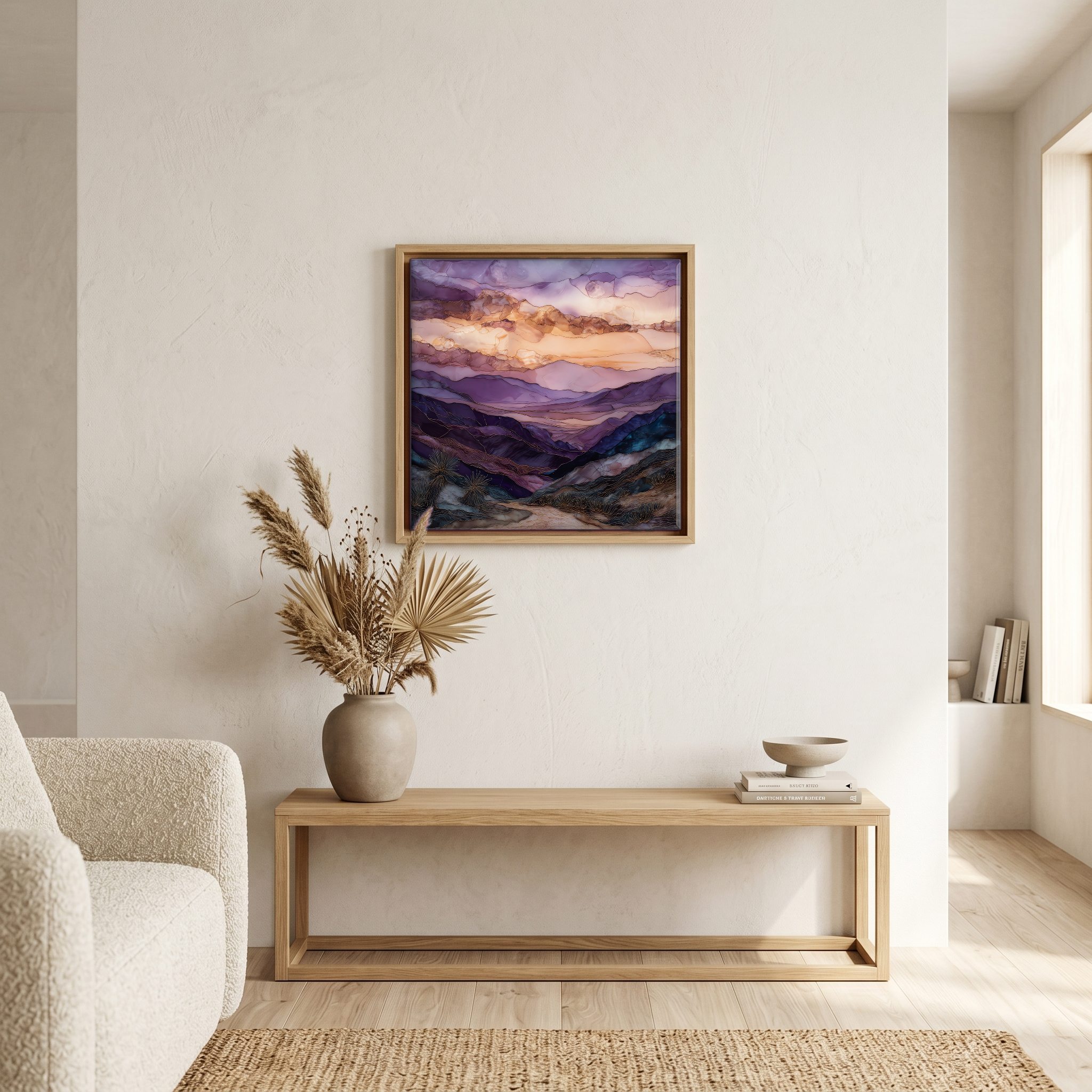
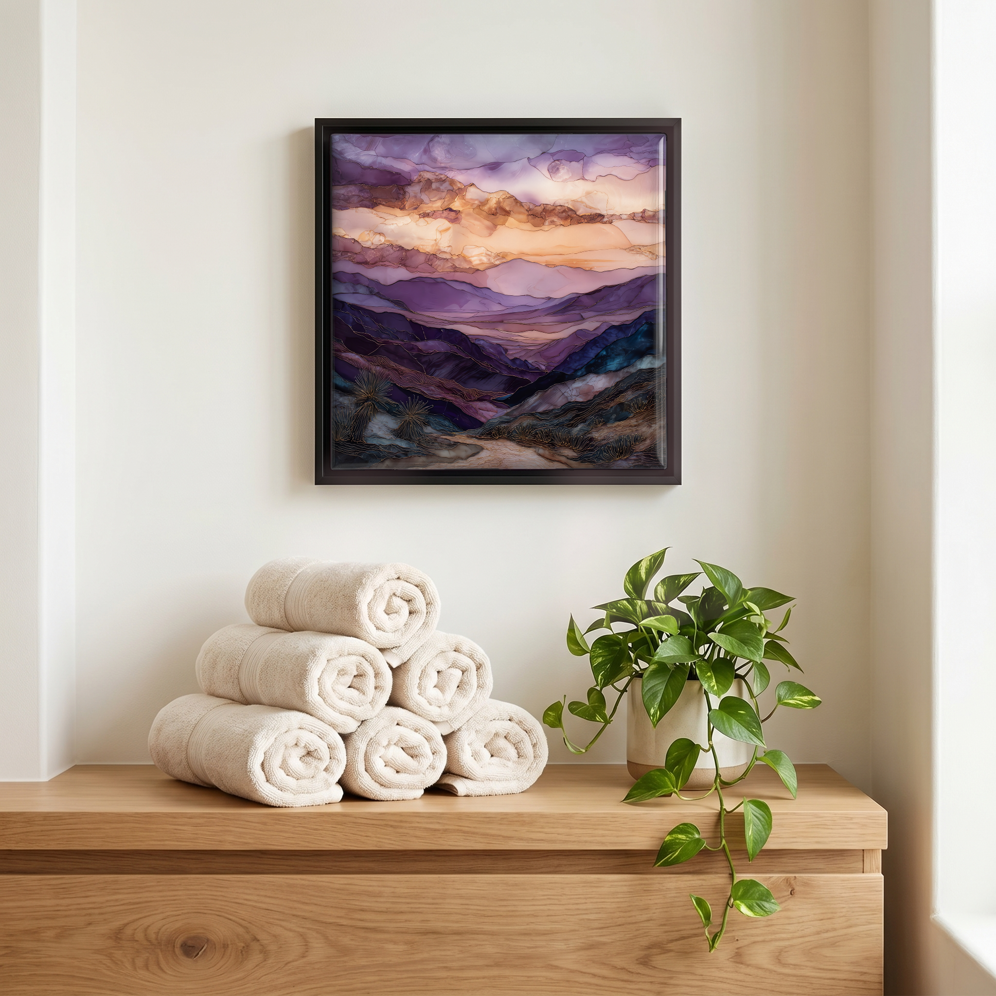
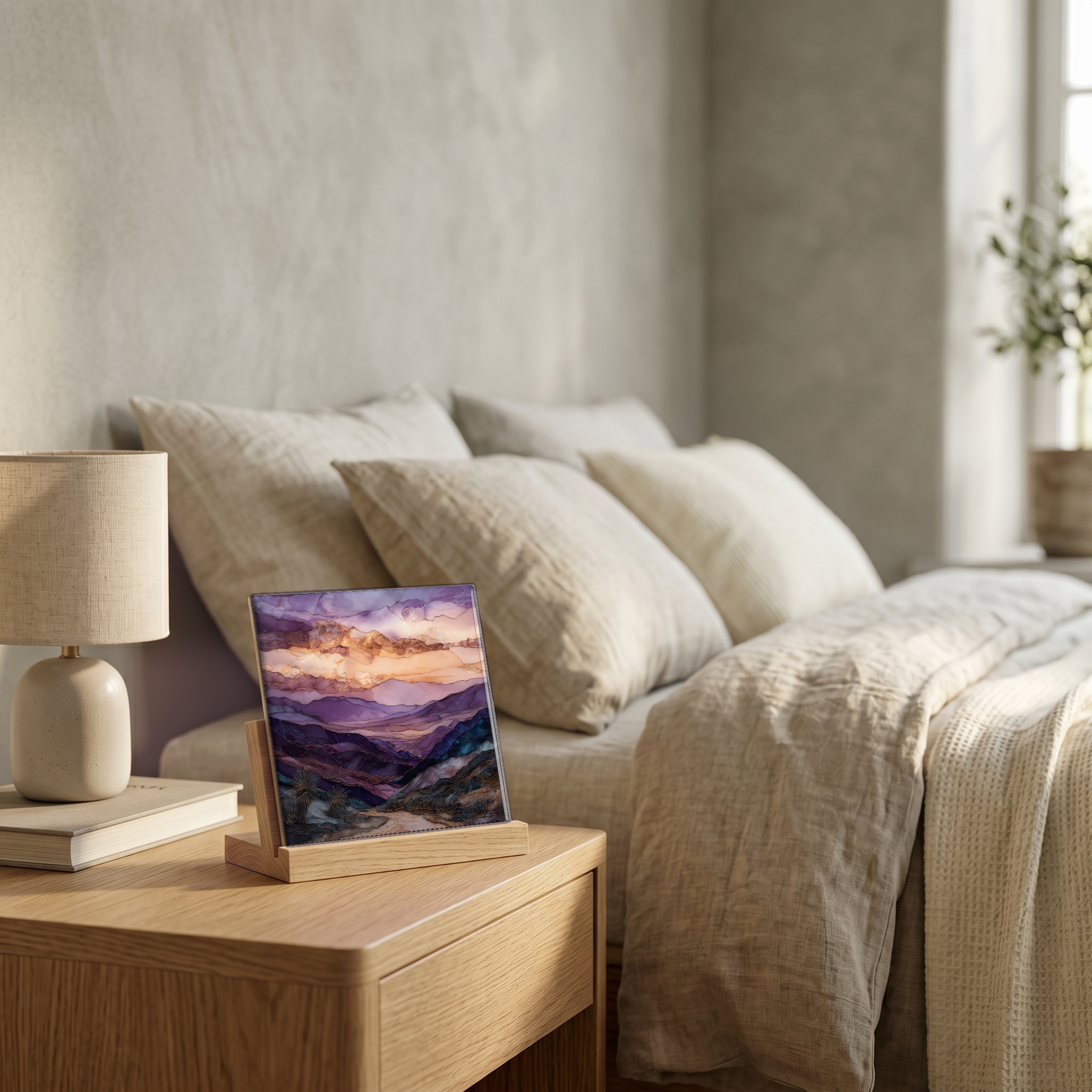
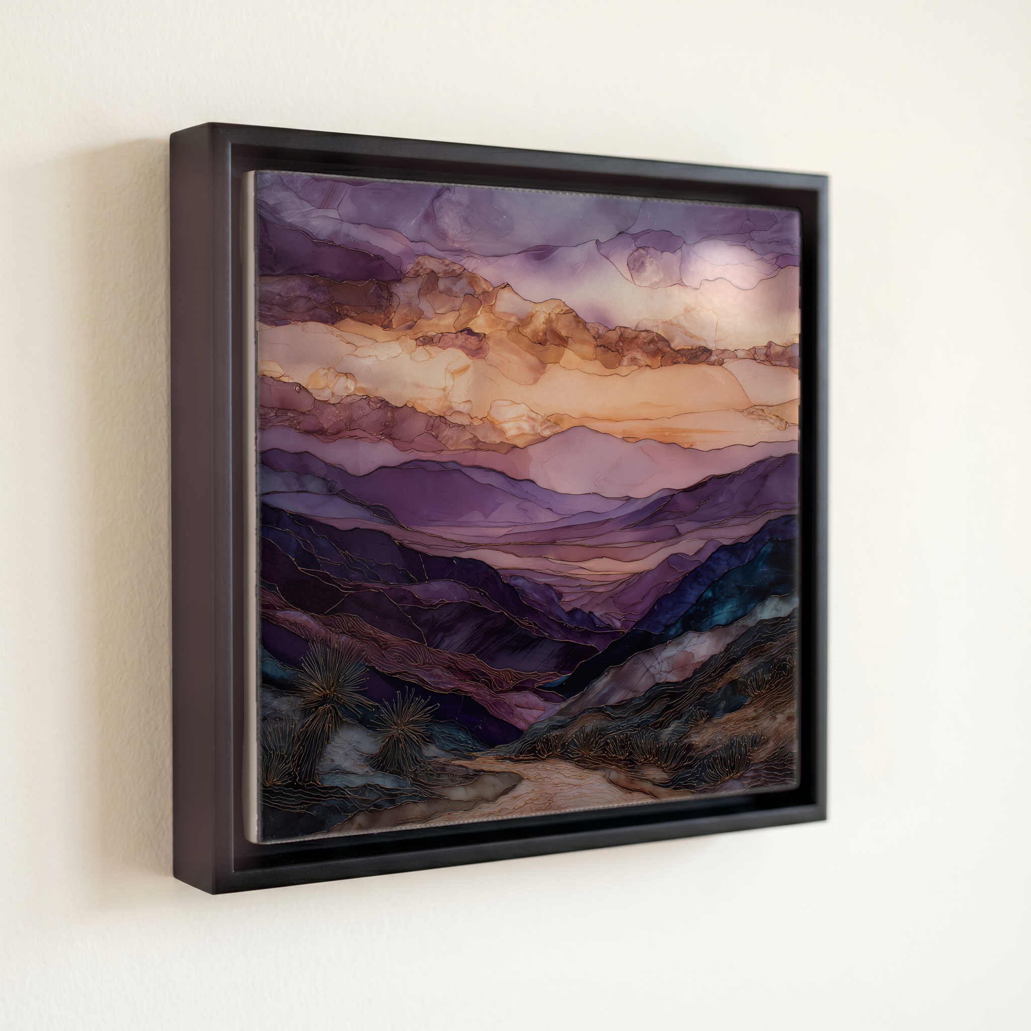
Not only on a wall.

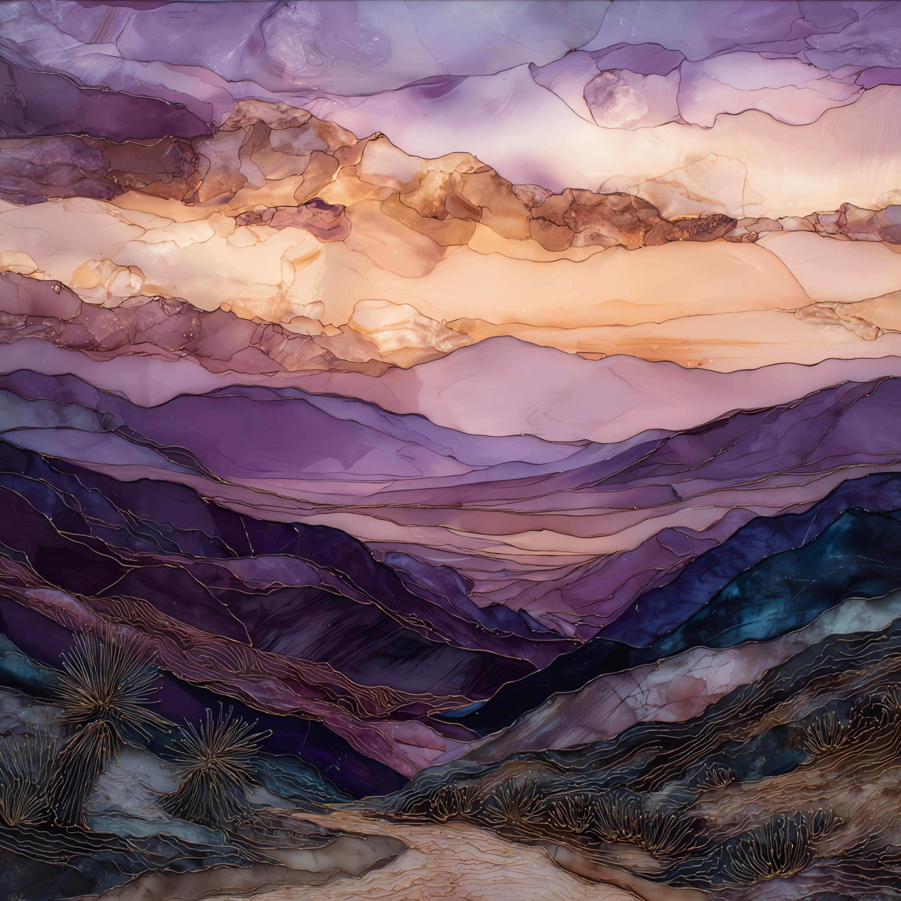
“The highest paved overlook in Joshua Tree, at the end of a seven-mile spur off Park Boulevard. The view runs west across the Coachella Valley to Mount San Jacinto and Mount San Gorgonio, both routinely snow-capped well into spring. Down below, the San Andreas Fault traces a straight line through the desert floor that the eye can follow for miles. On the clearest days Signal Mountain shows up across the Mexico border, though those days are rarer than they once were. The lot is small. Most people come at sunset and don't say much; a few stay for the second light, after the colour shifts.
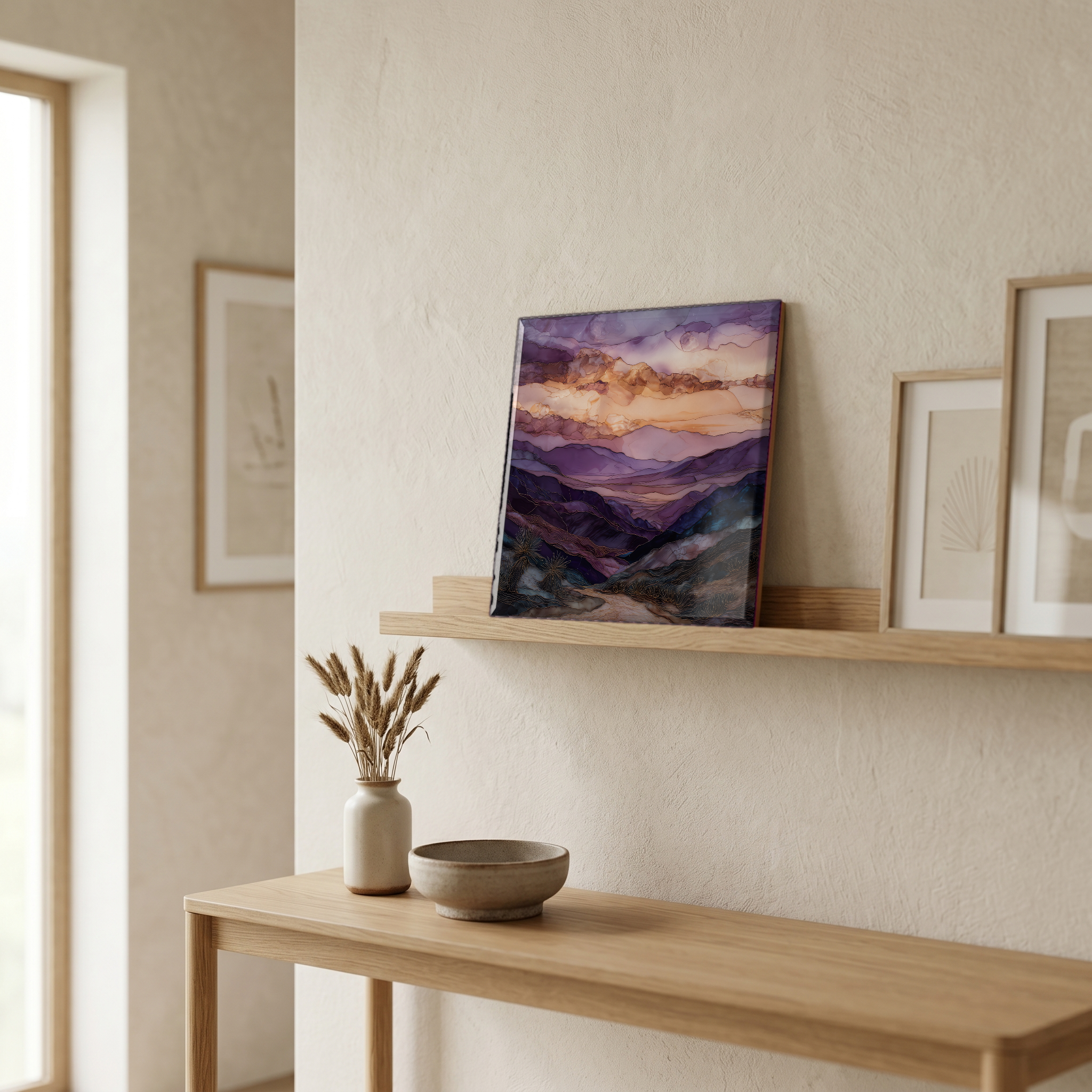
Keys View Joshua Tree, on ceramic.
Each tile is finished by hand in our Knoxville studio. Artwork is slowly infused into the ceramic surface under high heat and pressure, and rests beneath a thin glossy finish. The colour lives in the surface, not on top of it.
Pick any four 4-inch tiles — National Parks you've been to, a Smokies set, the four seasons of one place. $ for a set of , cork-backed, ready to live on the table.
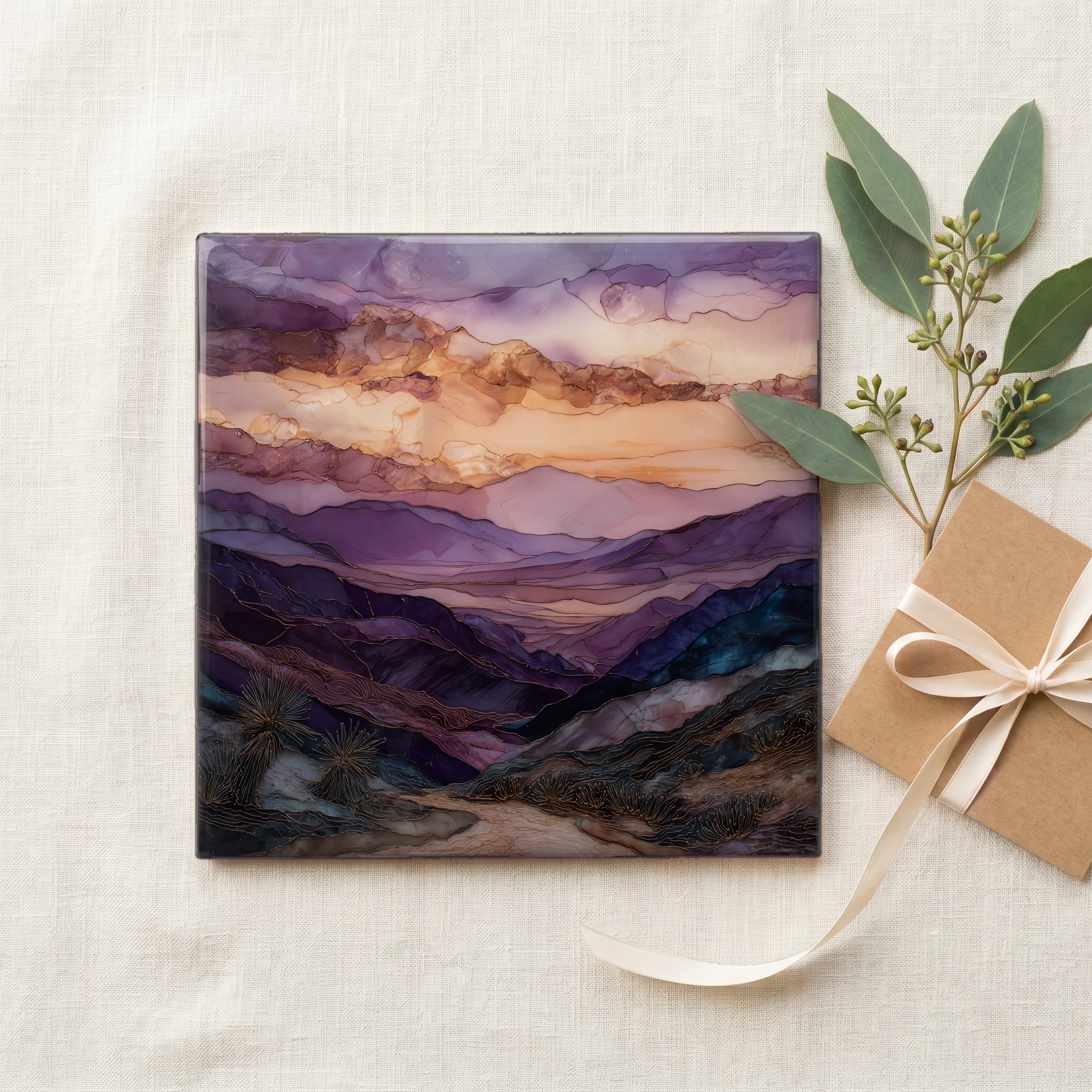
Each tile ships in a kraft box, tied with cream ribbon, with a handwritten note from the studio if you'd like to add one.

Three or five different vistas, hung together — a chapter of places you've been, or want to go.
The place, in three passes.
Keys View sits at 5,185 feet on the crest of the Little San Bernardino Mountains, the highest overlook in Joshua Tree National Park that can be reached by car. The spur road branches off Park Boulevard near the Cap Rock junction and runs roughly seven miles south to a small paved lot at the rim. The main overlook is paved and wheelchair-accessible; a short, steep trail climbs Inspiration Peak behind the parking area for a wider angle. From the rail the view opens west across the Coachella Valley to Palm Springs and the Santa Rosa Mountains, with Mount San Jacinto and Mount San Gorgonio framing the gap. The name honours William F. Keys, the homesteader and miner who ranched the desert below for sixty years; the surviving Keys Ranch, preserved as a ranger-led tour site, lies in the bajada the overlook looks down on.
On a clear winter morning the view reaches across the valley to Mount San Jacinto at 10,834 feet and Mount San Gorgonio at 11,503 feet, the two highest peaks in Southern California, both holding snow well into March. The Salton Sea sits 230 feet below sea level on the far southeast horizon, and the San Andreas Fault runs through the valley floor as a straight, traceable line cutting through the desert vegetation. The far prize is Signal Mountain across the Mexican border. The National Park Service notes that seeing into Mexico has become uncommon in recent years. Air drifting up from the Los Angeles basin and the Coachella Valley settles against the Little San Bernardinos and gathers in the bowl, especially through summer afternoons. The cold-front days right after a winter storm are the ones that carry.
Keys View is reached by paved road and is open during the same daylight-friendly hours as the rest of Joshua Tree, with no separate fee beyond the standard park entrance. The seven-mile spur off Park Boulevard climbs steadily and ends at a small lot that fills first at sunset and second at sunrise. The overlook itself is paved and wheelchair-accessible, with low rails and interpretive panels naming the peaks across the valley. Inspiration Peak rises behind the lot along a short, steep climb for visitors who want a wider vantage. Winter mornings are cold and often windy; layers carry well. The park asks visitors to stay on the paved overlook and marked path, since the surrounding slopes hold fragile high-desert soils that recover slowly. There is no water at the overlook; the nearest fill points are inside the park's developed campgrounds.