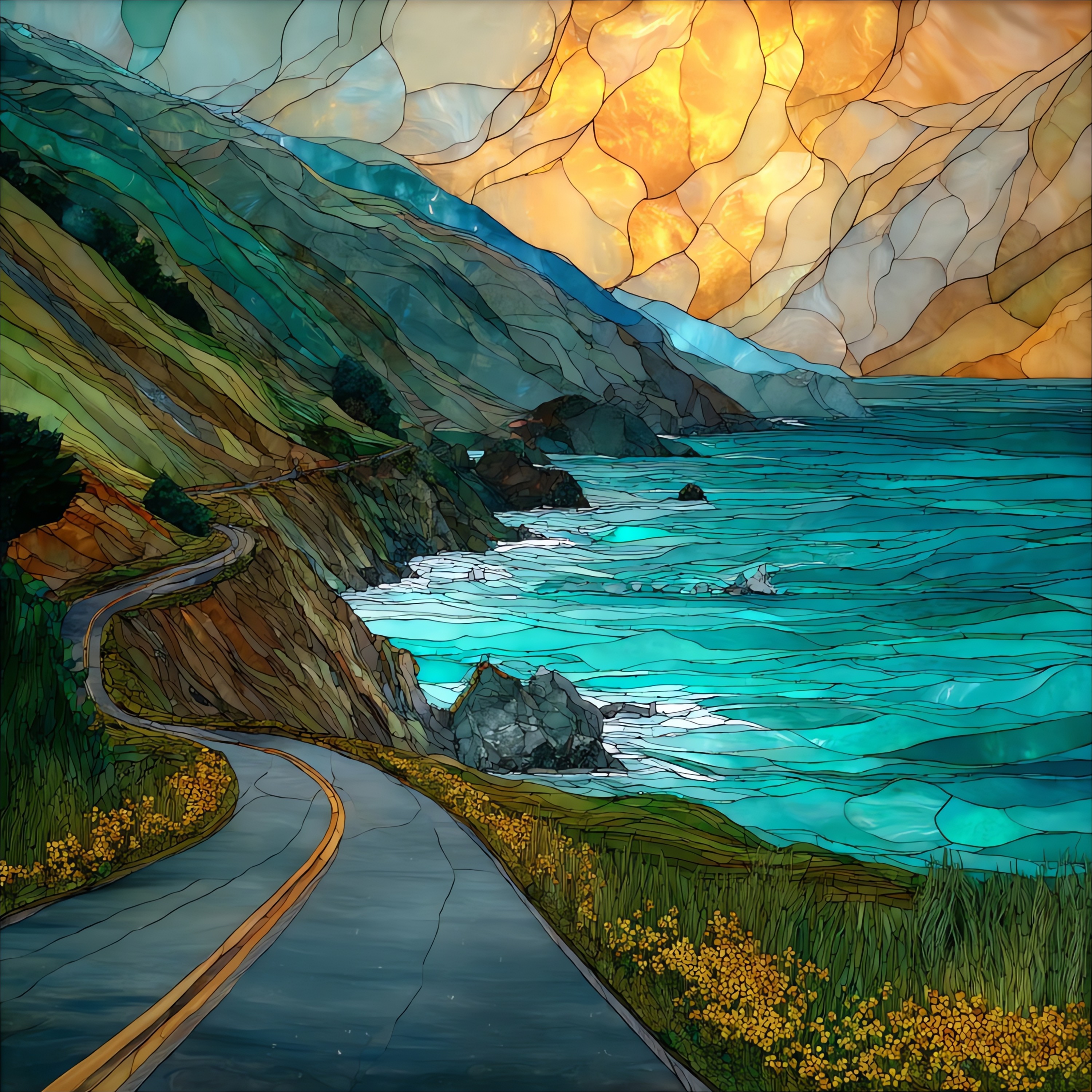
Hurricane Point
— a wind that has a name.
Not only on a wall.


“The first sustained climb on Highway 1 going south out of Bixby Bridge. Two miles of road up the headland, the Pacific dropping further below at every bend, the wind picking up as the elevation does. By the top, the colour of the water reads as different from what it was three minutes earlier. Runners in the Big Sur Marathon know this hill by name. Photographers know to plant the tripod. The grass leans the same way every afternoon.
Hurricane Point, on ceramic.
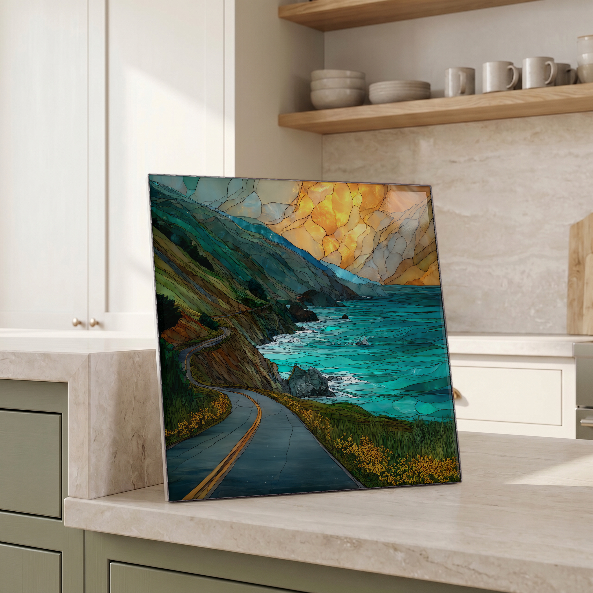
Each tile is finished by hand in our Knoxville studio. Artwork is slowly infused into the ceramic surface under high heat and pressure, and rests beneath a thin glossy finish. The colour lives in the surface, not on top of it.
Pick any four 4-inch tiles — National Parks you've been to, a Smokies set, the four seasons of one place. $ for a set of , cork-backed, ready to live on the table.

Each tile ships in a kraft box, tied with cream ribbon, with a handwritten note from the studio if you'd like to add one.

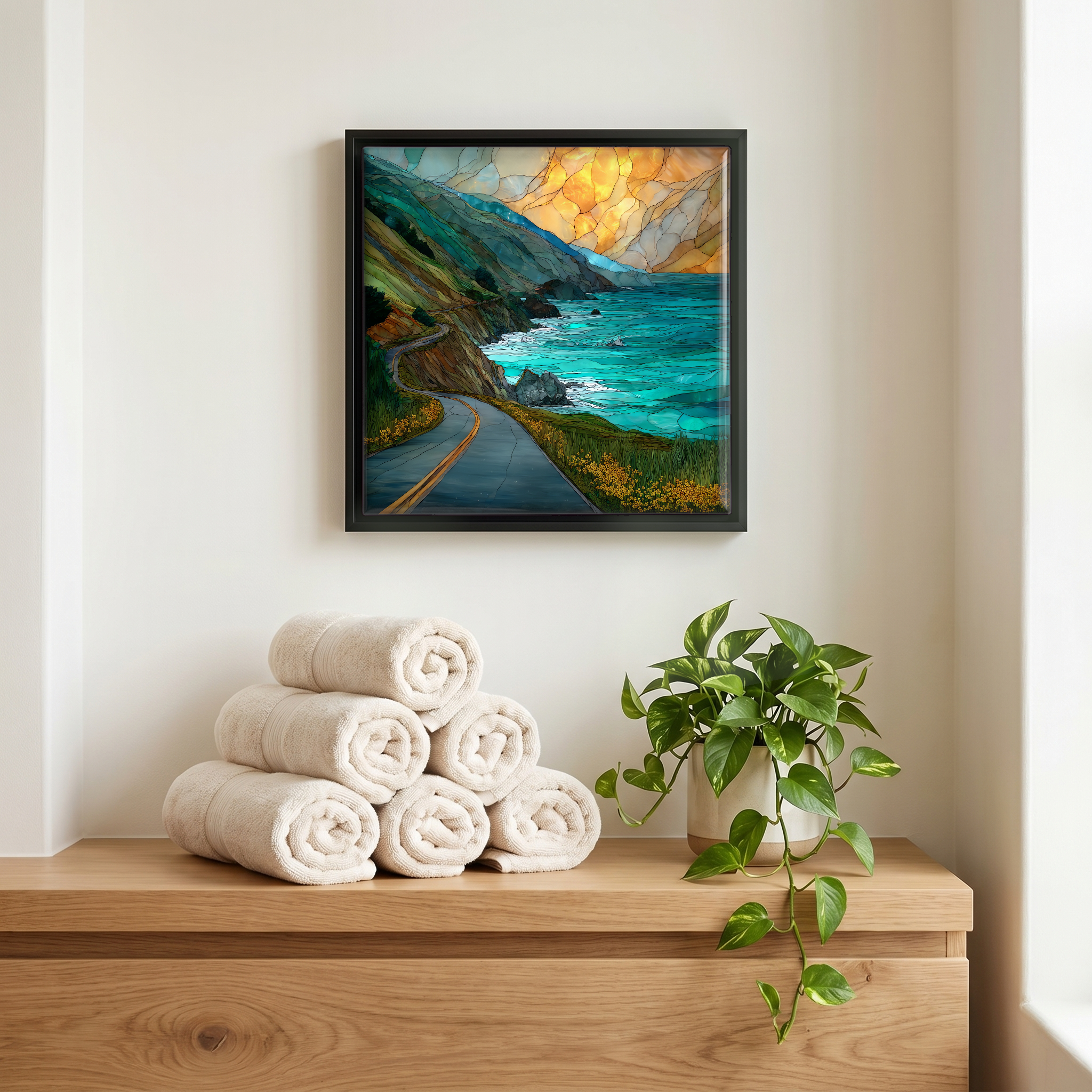
Three or five different vistas, hung together — a chapter of places you've been, or want to go.
The place, in three passes.
Hurricane Point is a promontory on California State Route 1, roughly two miles south of the Bixby Creek Bridge and about four miles north of Point Sur, in Monterey County's Big Sur coast. The headland sits well above the Pacific on a stretch of Highway 1 that opened in 1937 after eighteen years of construction by convict labour from San Quentin and Folsom prisons. The land below the road belongs to the El Sur Ranch, a working cattle operation that has held this part of the coast since the original 1834 Mexican land grant. The pullout is among the most photographed turnouts on the drive between Carmel and the Big Sur River.
The name is the description. Hurricane Point is one of the windiest places on the California coast: the Pacific funnels onshore through the gap between Bixby Bridge and Point Sur and accelerates over the open grass slope that climbs to the highway. The Big Sur International Marathon, run every April since 1986, treats the two-mile climb of about 520 feet from Bixby Bridge up to this headland as its signature obstacle. Runners are routinely pushed sideways by gusts in the 30 to 50 mph range, and a taiko drum group is stationed at the top to keep the pace through the noise. The wind keeps the slope above the road treeless and the grass combed in one direction year by year.
Hurricane Point is a free, signed pullout on Highway 1, with limited parking and a guardrail along the cliff side. It is one of the highest viewpoints on the Big Sur stretch of road. There is no fee, no gate, no facilities. Only the road, the wind, and the long view down to the Point Sur Lighthouse, which has stood on its sea stack since 1889. Highway 1 here is two lanes with frequent narrow shoulders and a long history of winter landslide closures; check Caltrans QuickMap before the drive, especially between November and April. In the last half-hour before sunset, the light on the cliffs turns deep amber.