Golden Gate Bridge from Marin
— the orange the fog can't take.
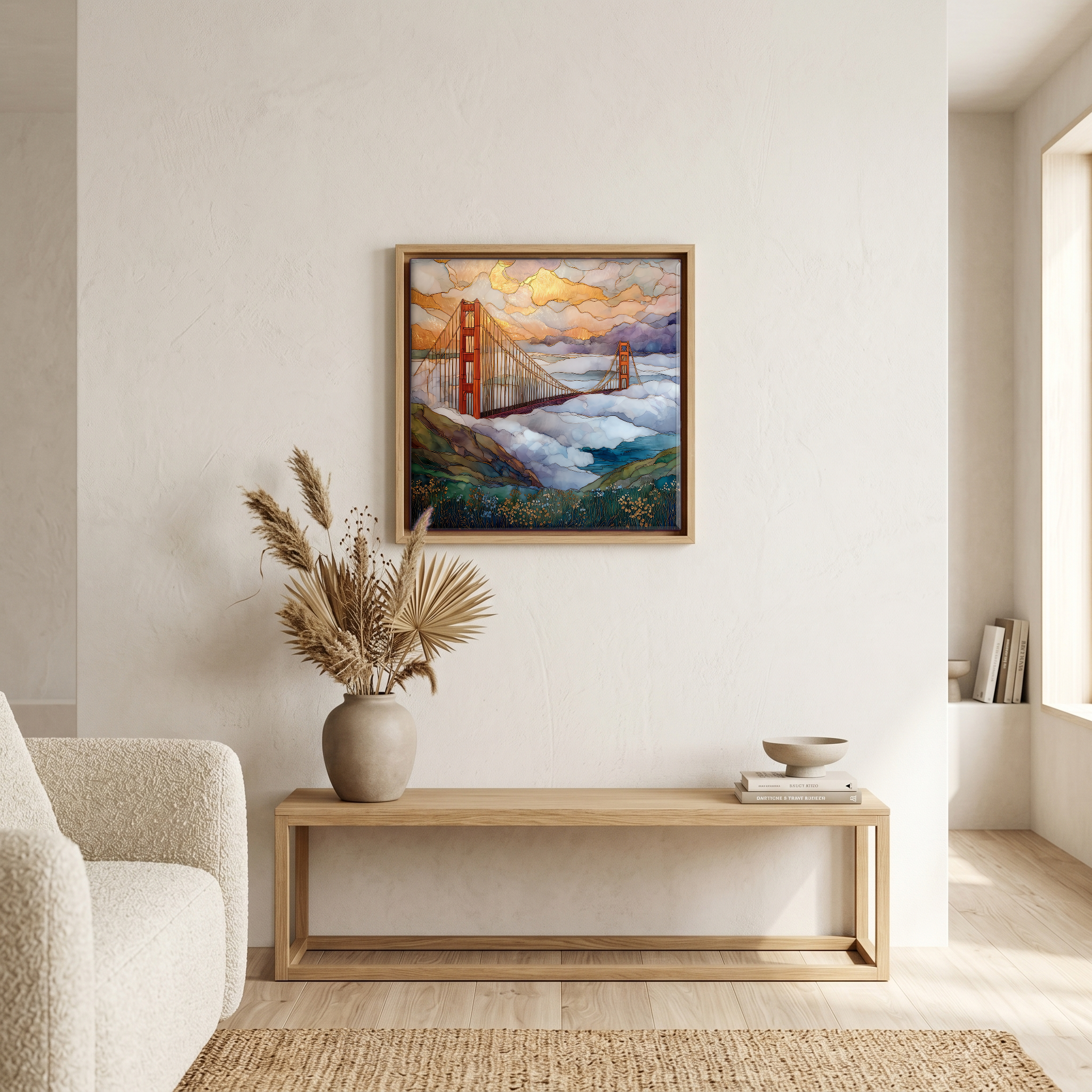
Not only on a wall.

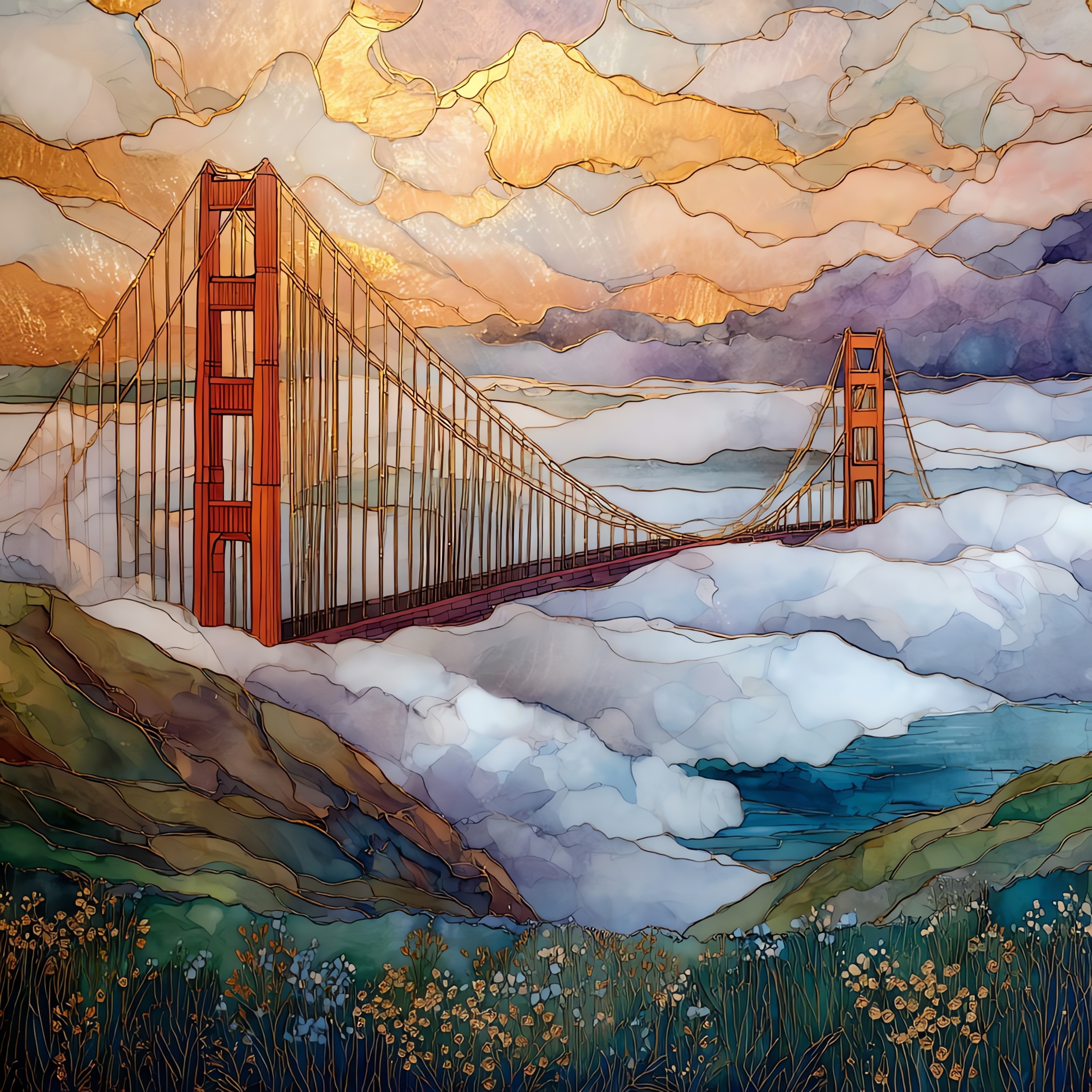
“Conzelman Road climbs west from the bridge's north tower. The first pullout is Battery Spencer, a quarter-mile in at about 460 feet, where the towers come up to eye level. The road continues to Hawk Hill at 920 feet, where the wind almost always wins. International Orange was the colour Irving Morrow advocated for during construction, picked because the fog could not take it. On clear afternoons the bay opens out behind. On foggy ones the bridge holds itself above the weather while the strait disappears beneath. Hawks ride the thermals along the ridge from August into December. Below: tankers, sailboats, the long Pacific.
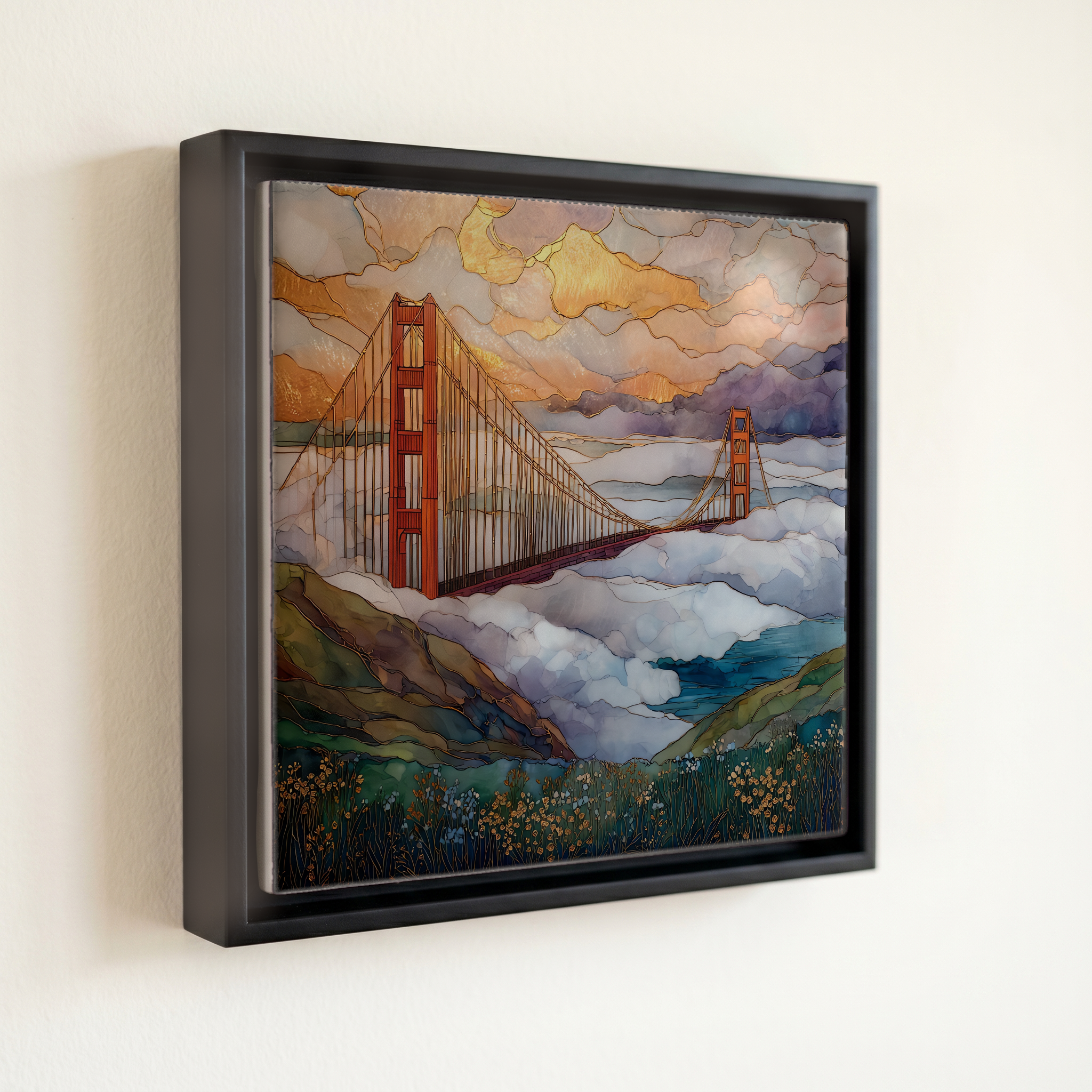
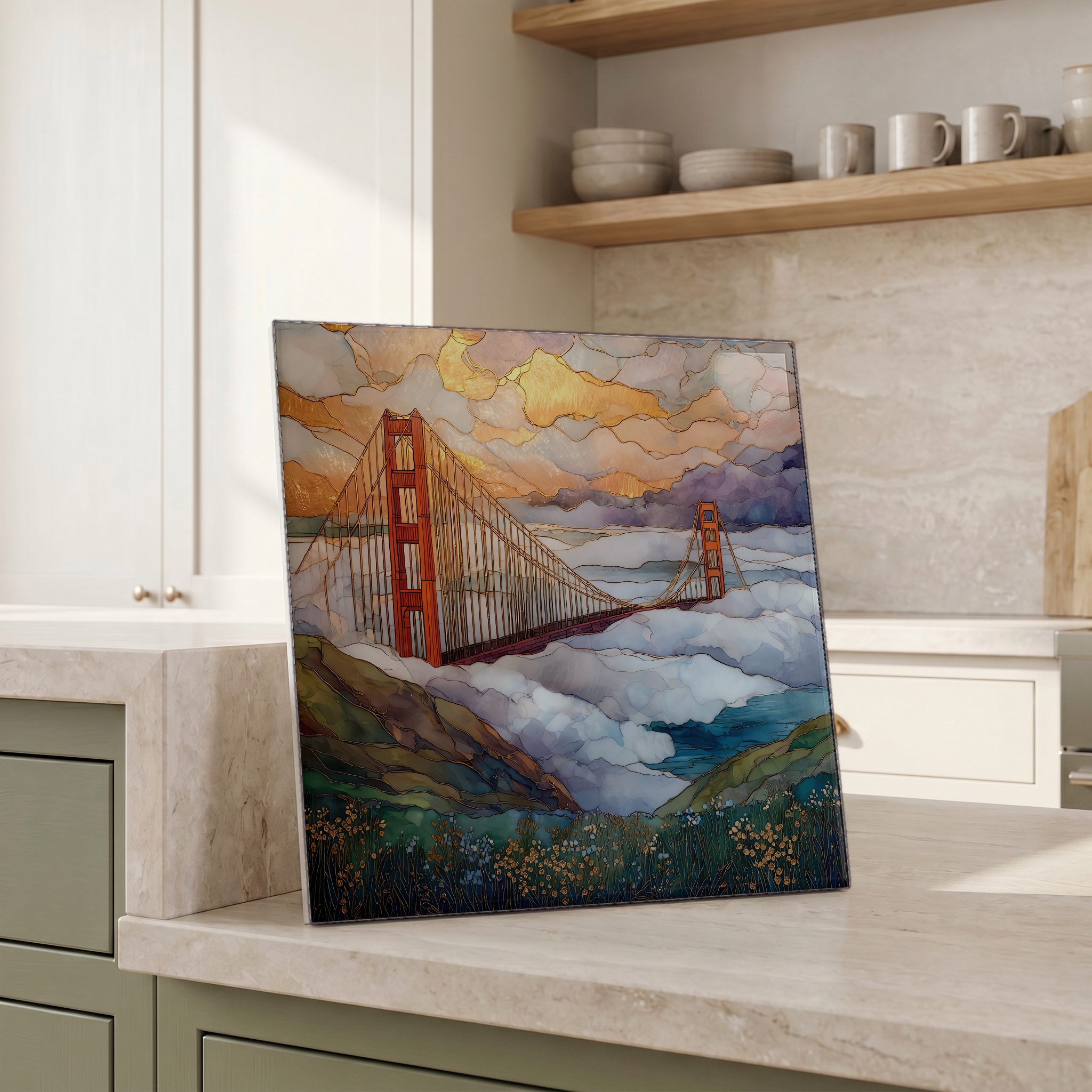
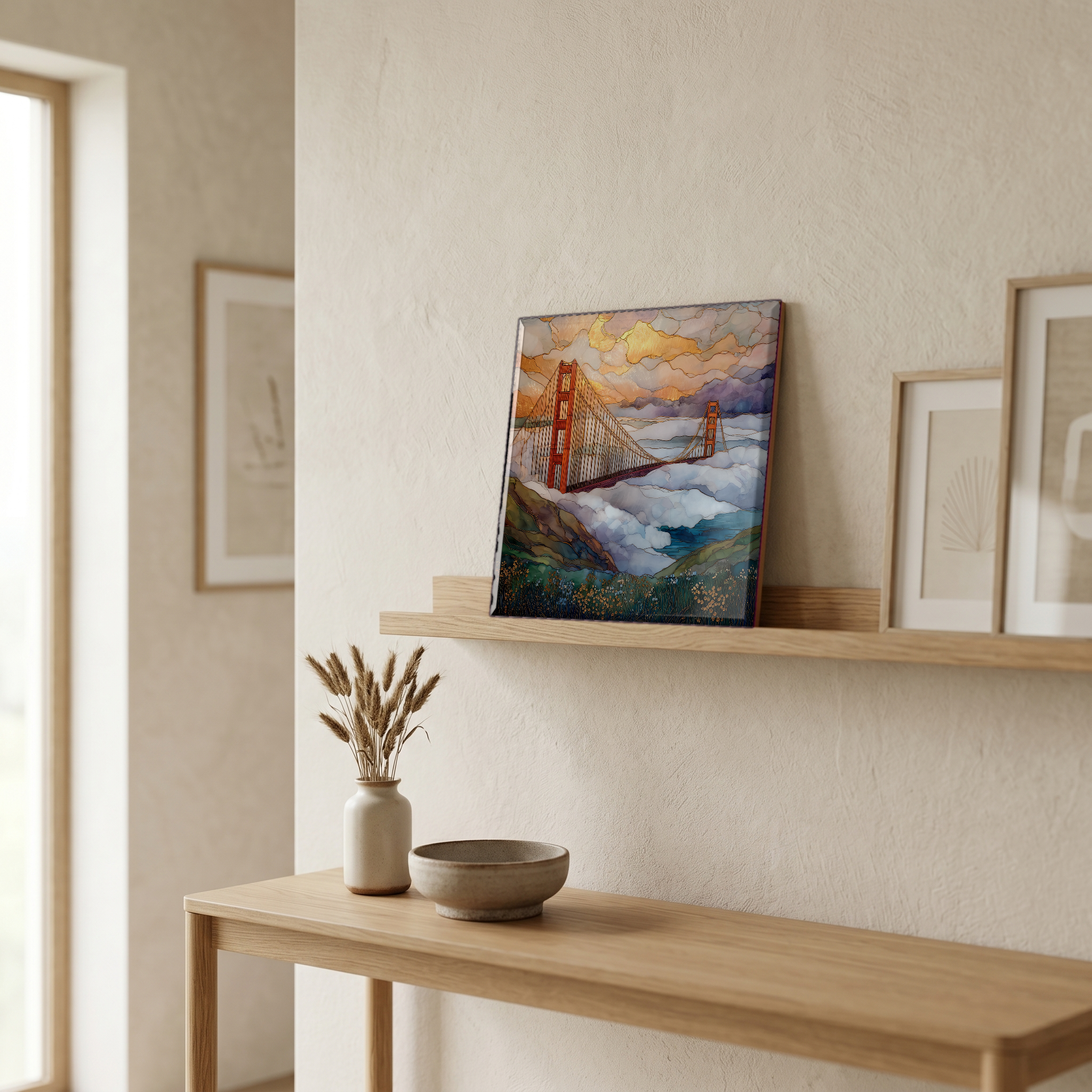
Golden Gate Bridge from Marin, on ceramic.
Each tile is finished by hand in our Knoxville studio. Artwork is slowly infused into the ceramic surface under high heat and pressure, and rests beneath a thin glossy finish. The colour lives in the surface, not on top of it.
Pick any four 4-inch tiles — National Parks you've been to, a Smokies set, the four seasons of one place. $ for a set of , cork-backed, ready to live on the table.
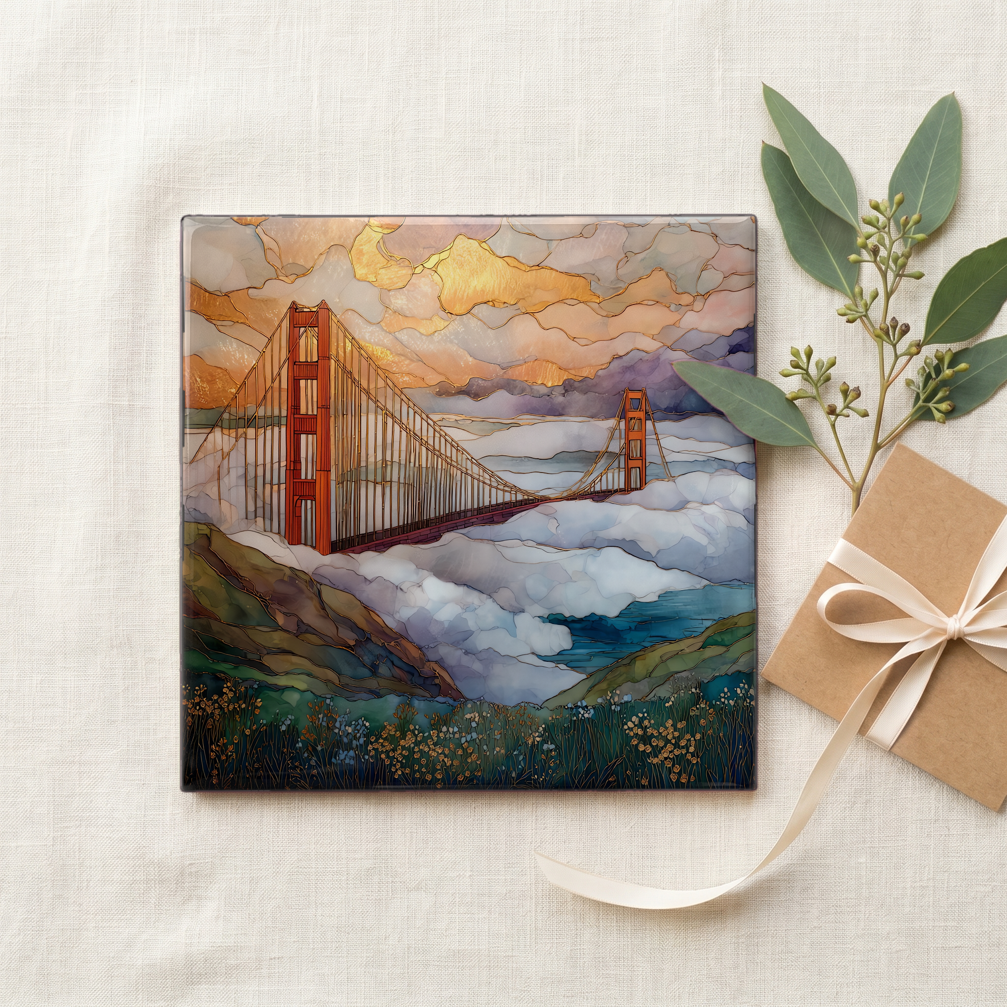
Each tile ships in a kraft box, tied with cream ribbon, with a handwritten note from the studio if you'd like to add one.
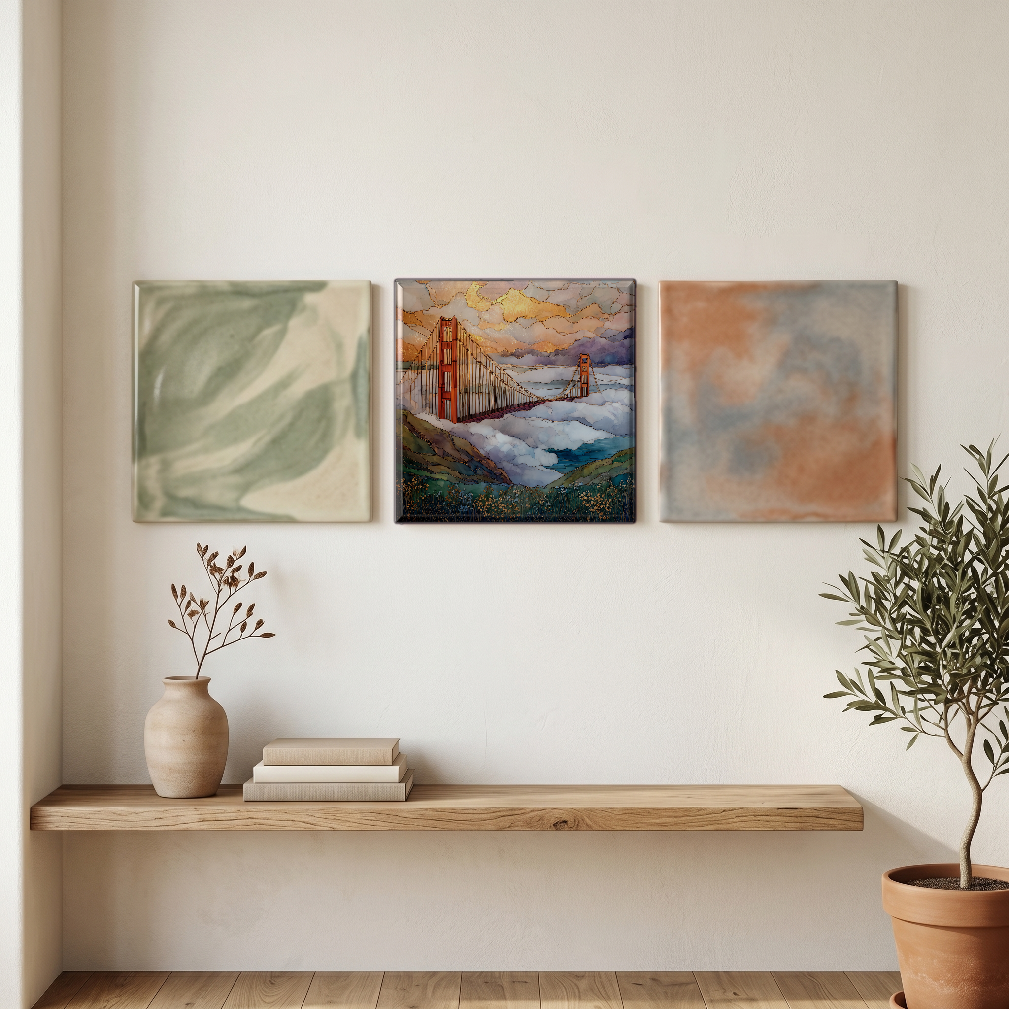
Three or five different vistas, hung together — a chapter of places you've been, or want to go.
The place, in three passes.
The Marin Headlands rise from the north shore of the Golden Gate, the mile-wide strait that connects San Francisco Bay to the Pacific. The cliffs form the foreground for the most-photographed view of the bridge itself: an 8,981-foot suspension span that opened in May 1937, connecting Marin County to San Francisco ([Wikipedia](https://en.wikipedia.org/wiki/Golden_Gate_Bridge)). The headlands are former U.S. Army coastal defense land, transferred to the National Park Service in 1972 and now part of the Golden Gate National Recreation Area ([NPS](https://www.nps.gov/goga/)). The classic vantage points climb Conzelman Road in turn: Battery Spencer at about 460 feet, then Hawk Hill at 920 feet, then the long descent toward Point Bonita Lighthouse.
The fog that defines the bridge in photographs is advection fog: warm marine air pulled in over cold upwelled water along the California coast, then funneled through the Golden Gate by the pressure differential between the cool ocean and the hot Central Valley inland ([Wikipedia](https://en.wikipedia.org/wiki/Advection_fog)). It rolls hardest from June through August, almost always in the late afternoon, and almost always pours through the strait below the headlands rather than over them. That is why the Marin view is the view: at Battery Spencer's 460 feet you stand above the weather while the city disappears beneath it. Consulting architect Irving Morrow advocated for the bridge's International Orange in 1935 for exactly this reason ([Golden Gate Bridge District](https://www.goldengate.org/)): the colour reads against fog where most paints would vanish.
Conzelman Road climbs west from the bridge's north end. It runs two-way to Battery Spencer, a quarter-mile in at 460 feet, then becomes one-way across the ridge. The standard route is a loop: up Conzelman, west across the headlands, and down Bunker Road back toward the bridge or Sausalito. Battery Spencer's lot is small and fills early on weekends; Hawk Hill's lot at the 920-foot crest holds more cars. The Golden Gate Raptor Observatory counts migrating hawks from this hill from August through December ([Wikipedia](https://en.wikipedia.org/wiki/Marin_Headlands)). The headlands are free to enter; the bridge toll applies only to southbound vehicles crossing back into San Francisco ([Golden Gate Bridge District](https://www.goldengate.org/)). Best light is late afternoon into golden hour.