Fonts Point
— the half-hour the badlands turn to gold.
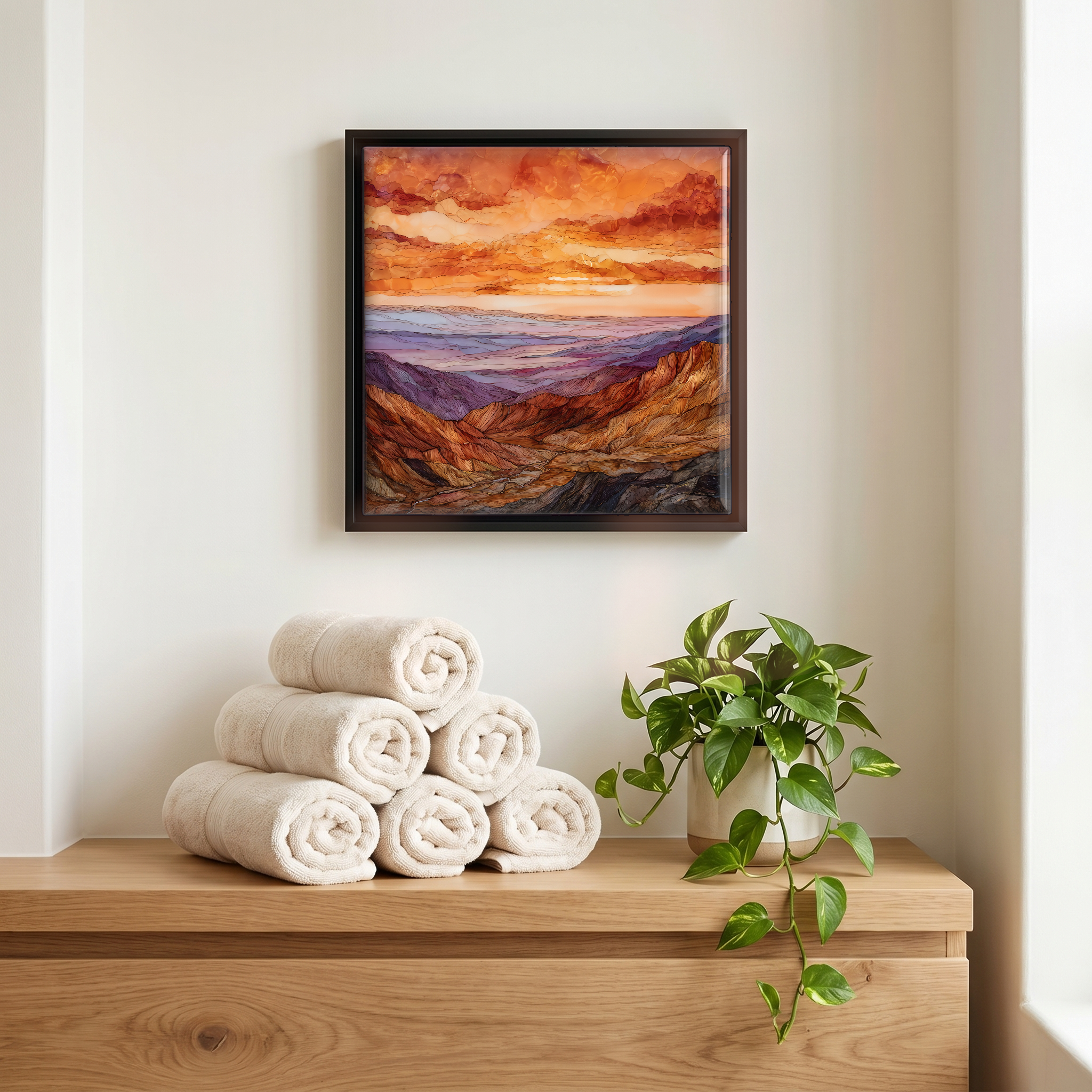
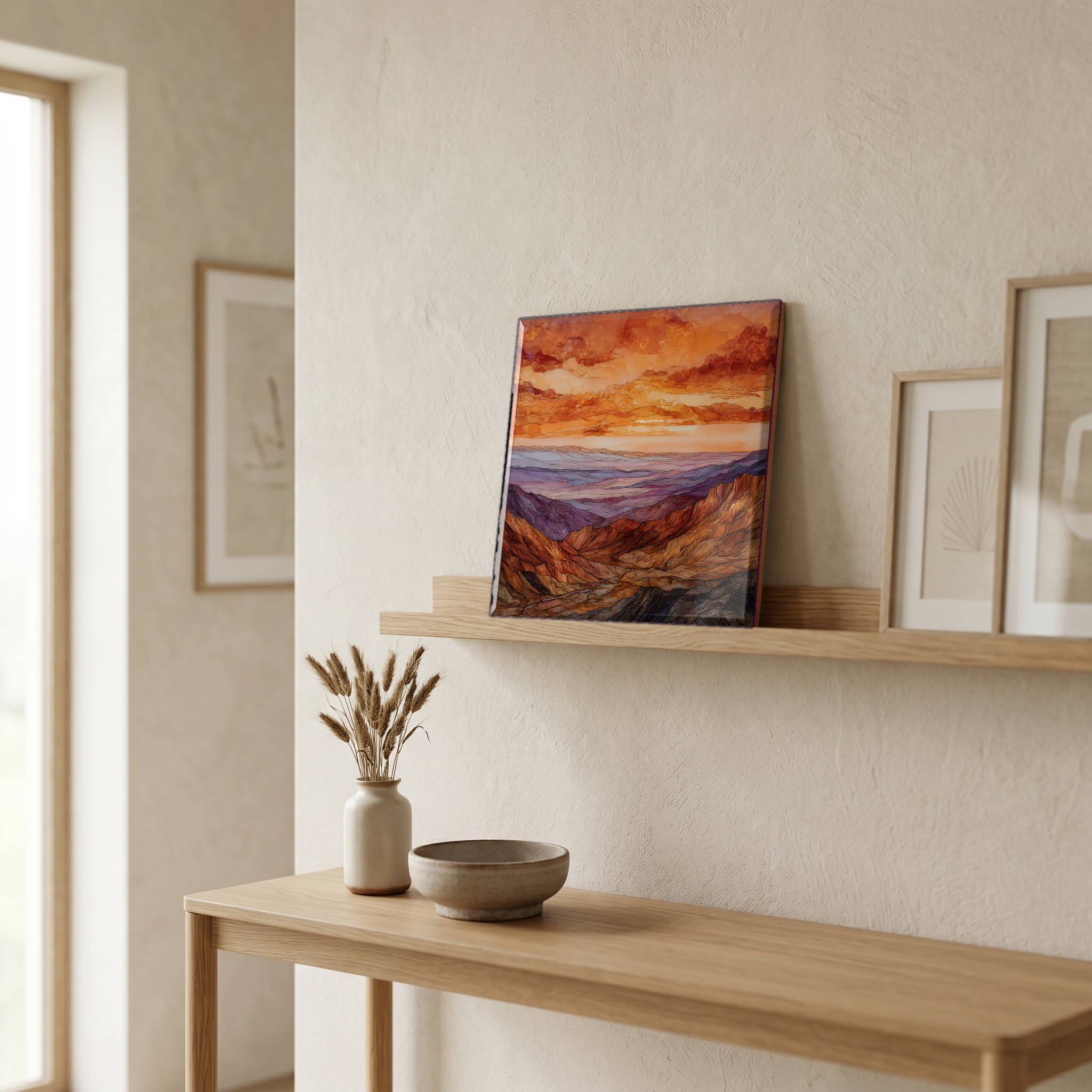
Not only on a wall.


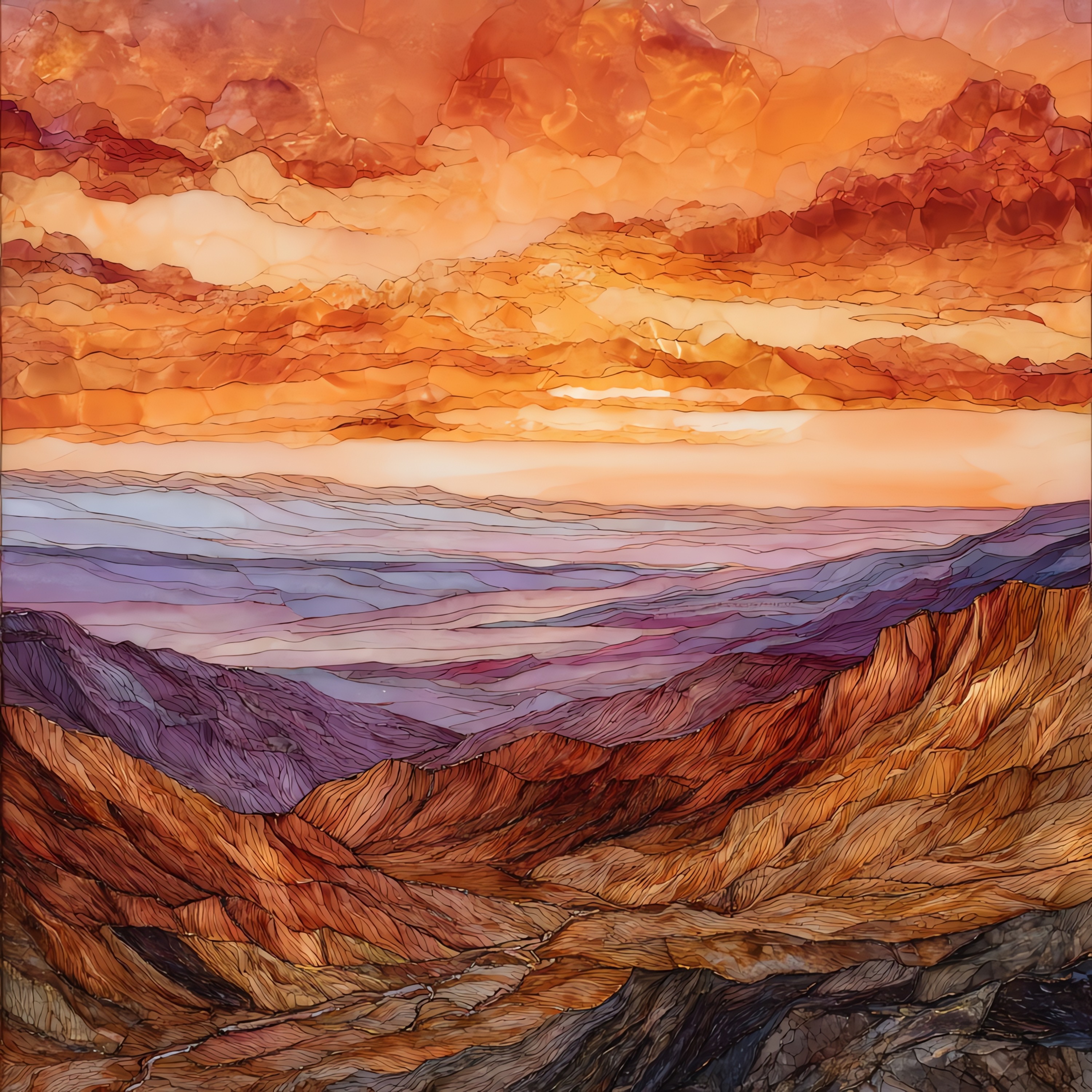
“A 4-mile dirt road turns off the desert highway east of Borrego Springs, slow and sandy, climbing a long ridge in Anza-Borrego. The cars stop at the rim. The badlands fall away below: eroded mudstone and sandstone laid down when the Gulf of California still reached this far north, now a four-million-year cross-section of a sea that drained. Father Font, who came through with the Anza expedition in 1776, called it the sweepings of the earth. Late in the day the light catches every ridge edge and the whole valley turns the colour of a kept coal. Nobody talks much at the rim.
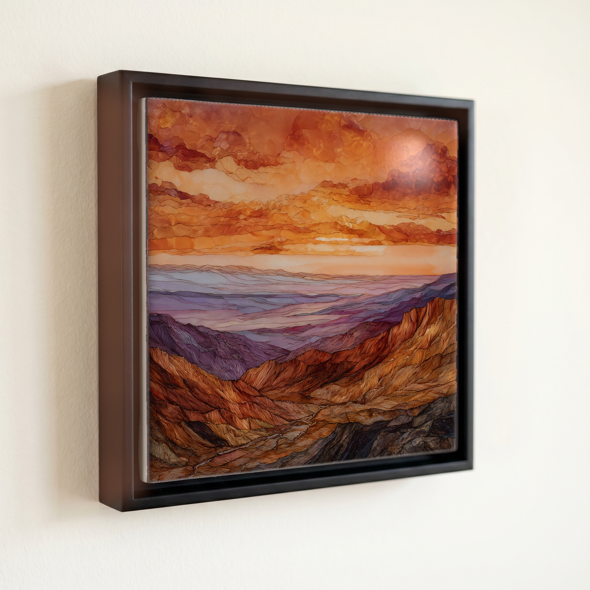
Fonts Point, on ceramic.
Each tile is finished by hand in our Knoxville studio. Artwork is slowly infused into the ceramic surface under high heat and pressure, and rests beneath a thin glossy finish. The colour lives in the surface, not on top of it.
Pick any four 4-inch tiles — National Parks you've been to, a Smokies set, the four seasons of one place. $ for a set of , cork-backed, ready to live on the table.
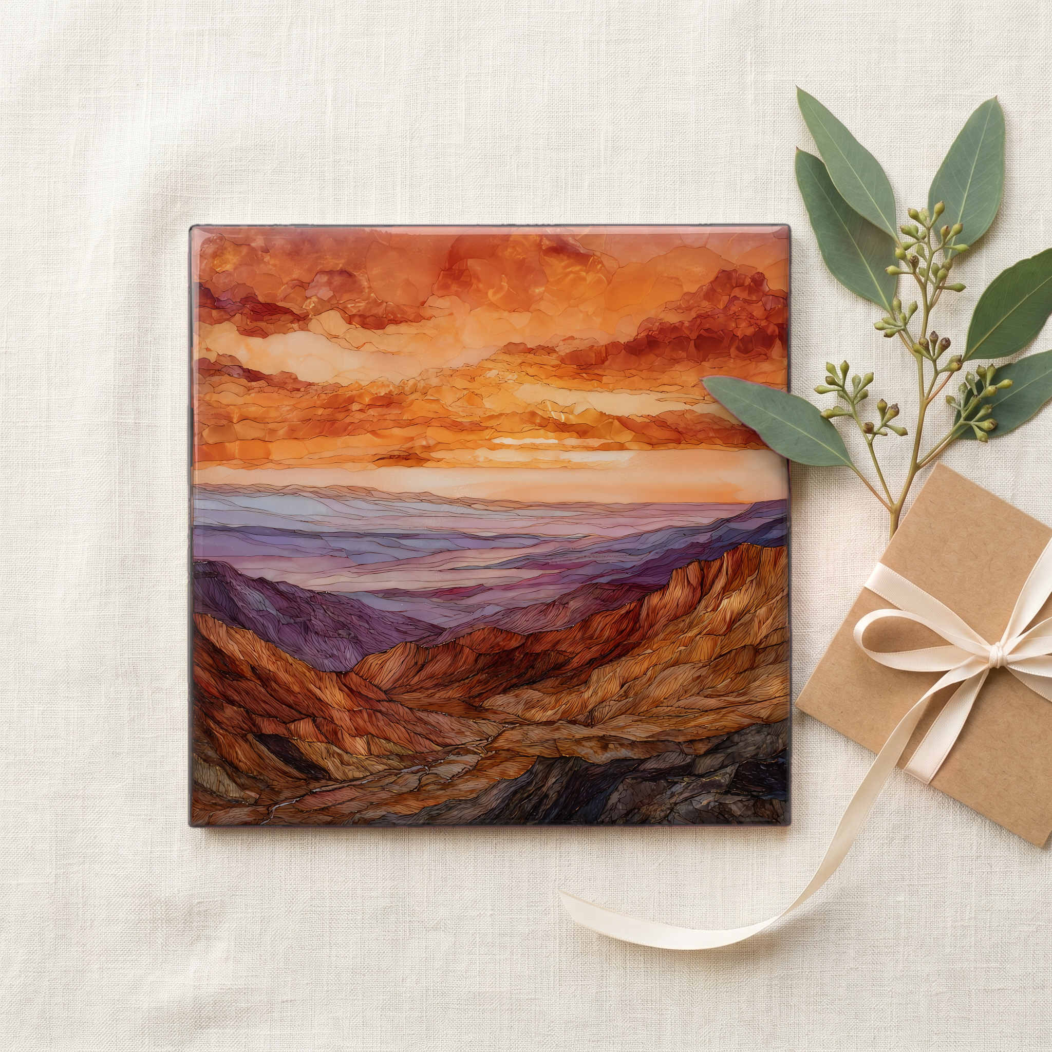
Each tile ships in a kraft box, tied with cream ribbon, with a handwritten note from the studio if you'd like to add one.

Three or five different vistas, hung together — a chapter of places you've been, or want to go.
The place, in three passes.
Fonts Point is a ridgetop overlook on the western edge of the Borrego Badlands, in Anza-Borrego Desert State Park, at 650,000 acres the largest state park in California. It sits at 1,253 feet of elevation, reached by a 4-mile sandy dirt road that turns off County Road S-22, the Borrego-Salton Seaway, east of Borrego Springs in San Diego County. The road is unsigned, soft, and rutted; California State Parks consistently recommends high-clearance four-wheel drive, particularly after rain has washed out the wheel tracks. The point is named for Pedro Font, the Franciscan friar who served as diarist on Juan Bautista de Anza's 1775-1776 overland expedition from Sonora to Monterey, which passed through the valley below this rim.
The badlands below the overlook are a layered cross-section of sediment laid down over roughly four million years, from a time when the northern Gulf of California still reached up into what is now Imperial County. Conglomerates, sandstones, claystones, and mudstones, alternating layers of sea bottom, river delta, and dry lake, were compressed, uplifted by the San Jacinto fault zone, and then carved by intermittent flash floods into the ribbed amphitheatre visible from the rim. Paleontologists working the formation have pulled mammoth, sabre-toothed cat, camel, and giant sloth fossils from these layers, one of the richest Pliocene-Pleistocene assemblages on the Pacific coast.
Fonts Point is photographed almost exclusively in the last hour of daylight. The overlook faces east, so at sundown the low light rakes across the badlands from behind the viewer, and each ridge throws its own shadow into the gully behind it. The whole valley reads in layers: gold on the top edges, deep maroon in the troughs, dust hanging in the air about a thousand feet below the rim. Father Pedro Font, passing this country with the Anza expedition in the winter of 1775-76, called it the sweepings of the earth in his diary. The light at the end of the day is what changed that judgement.