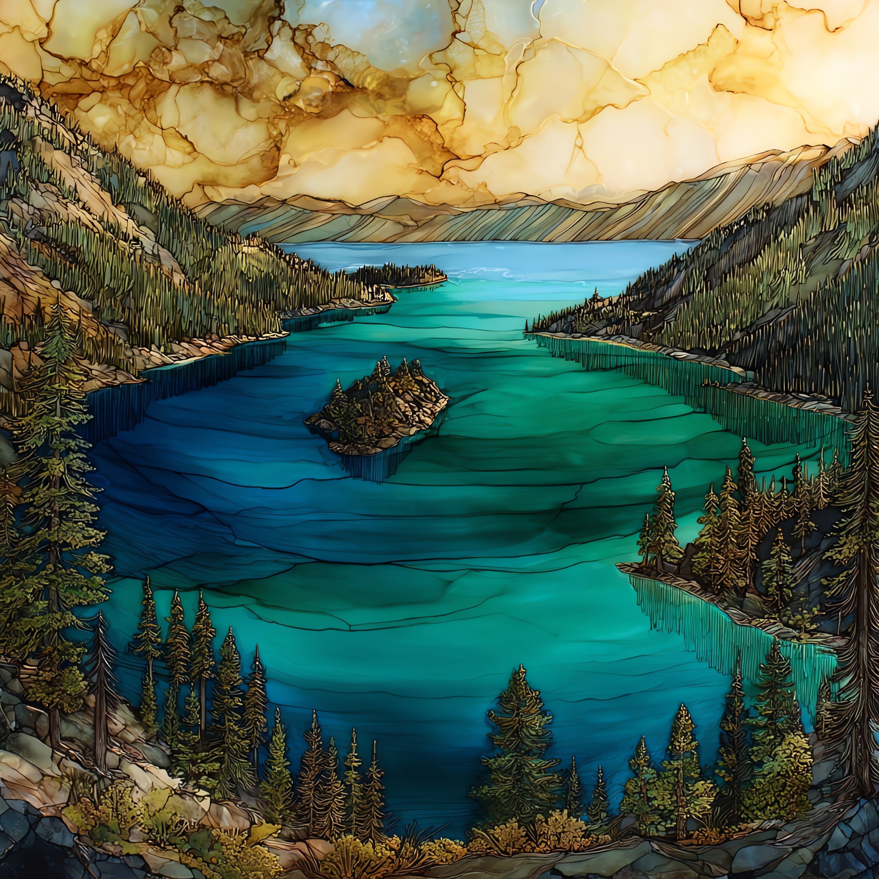
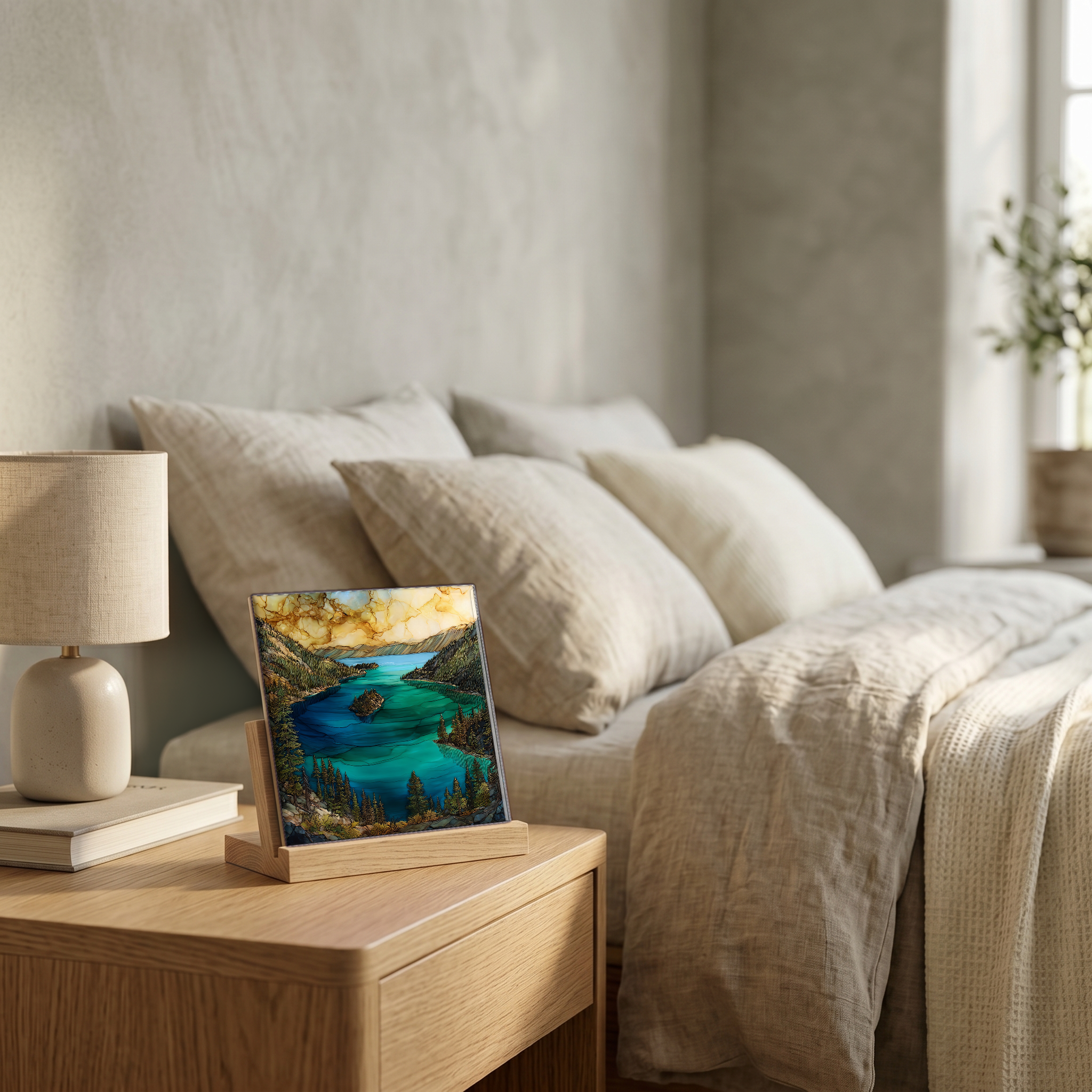
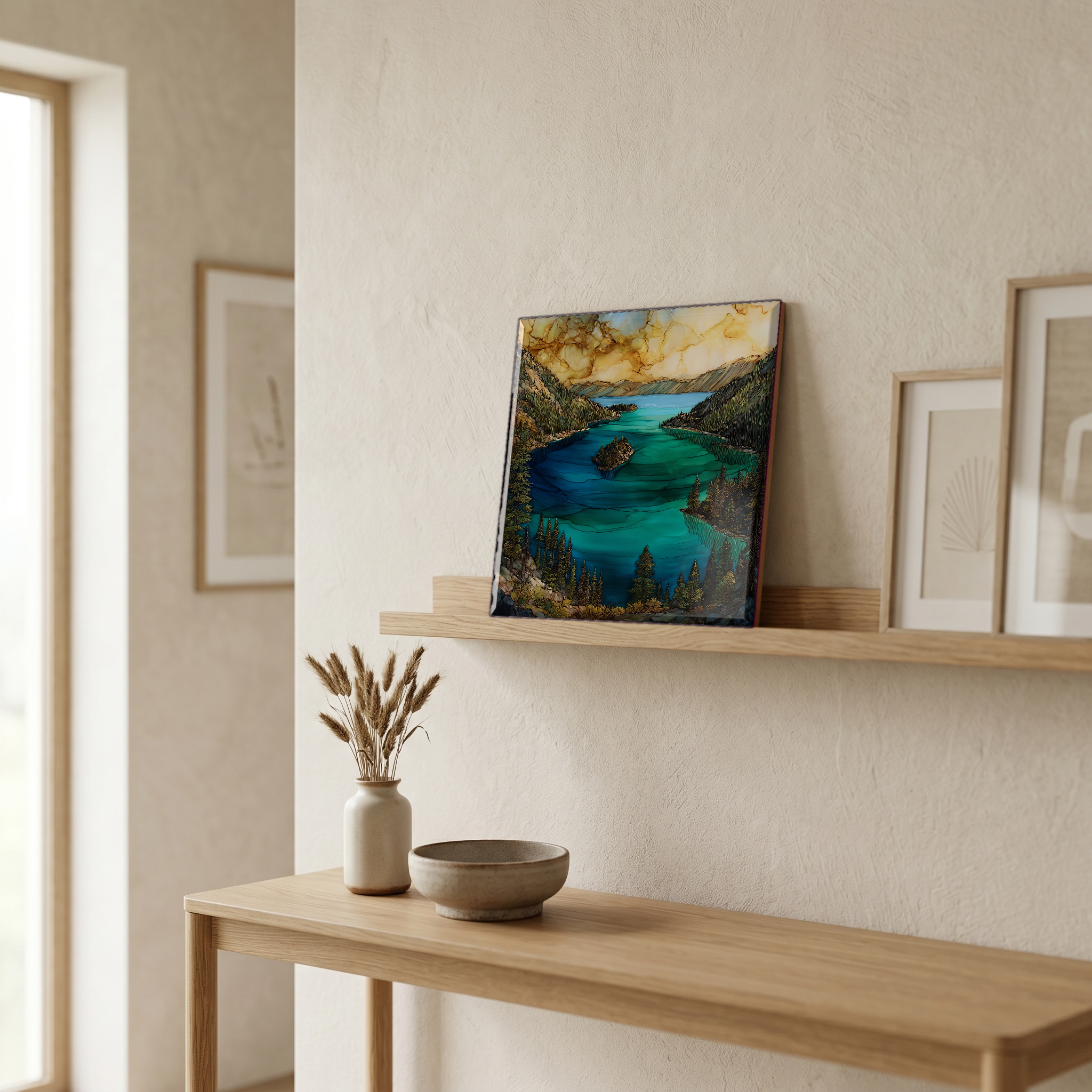
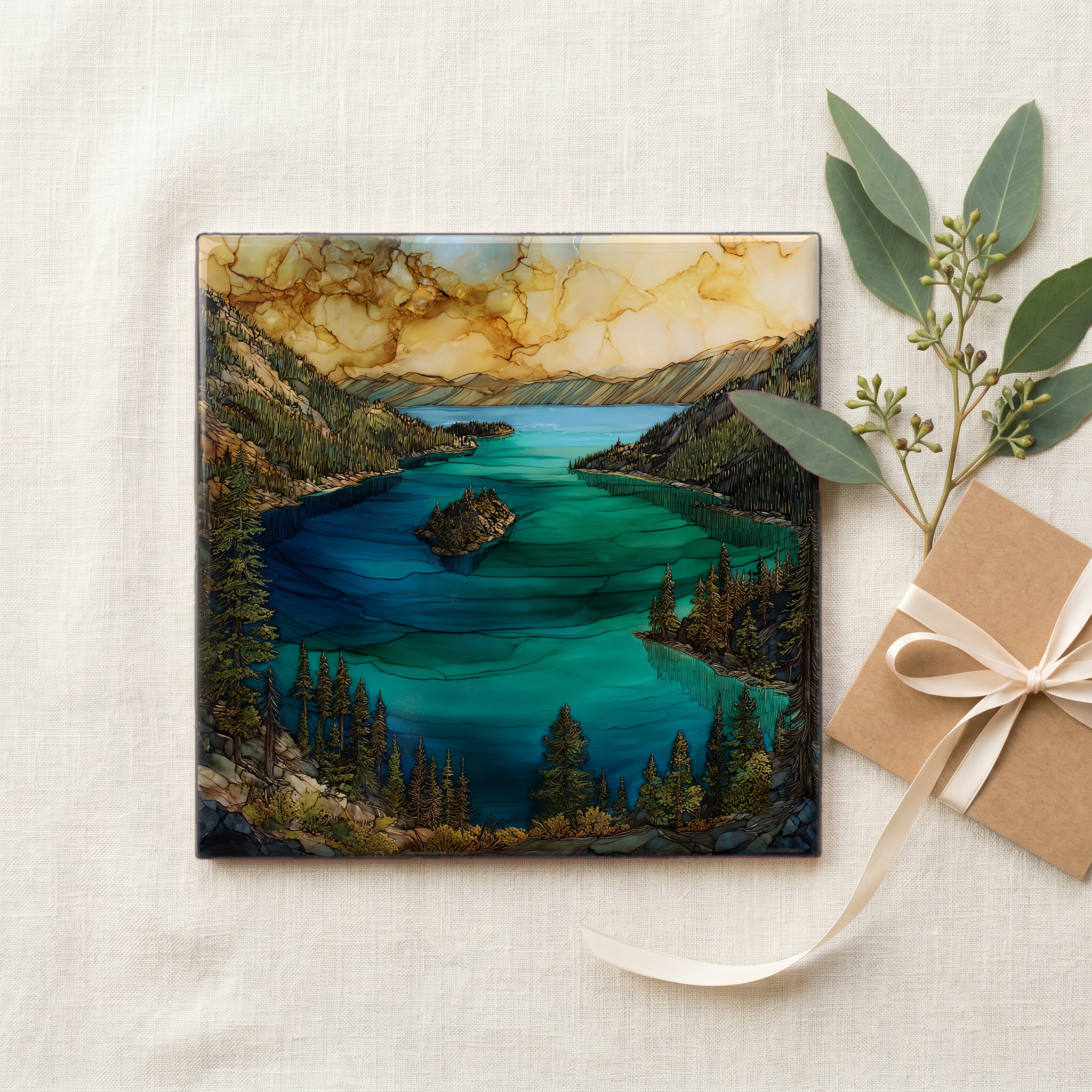
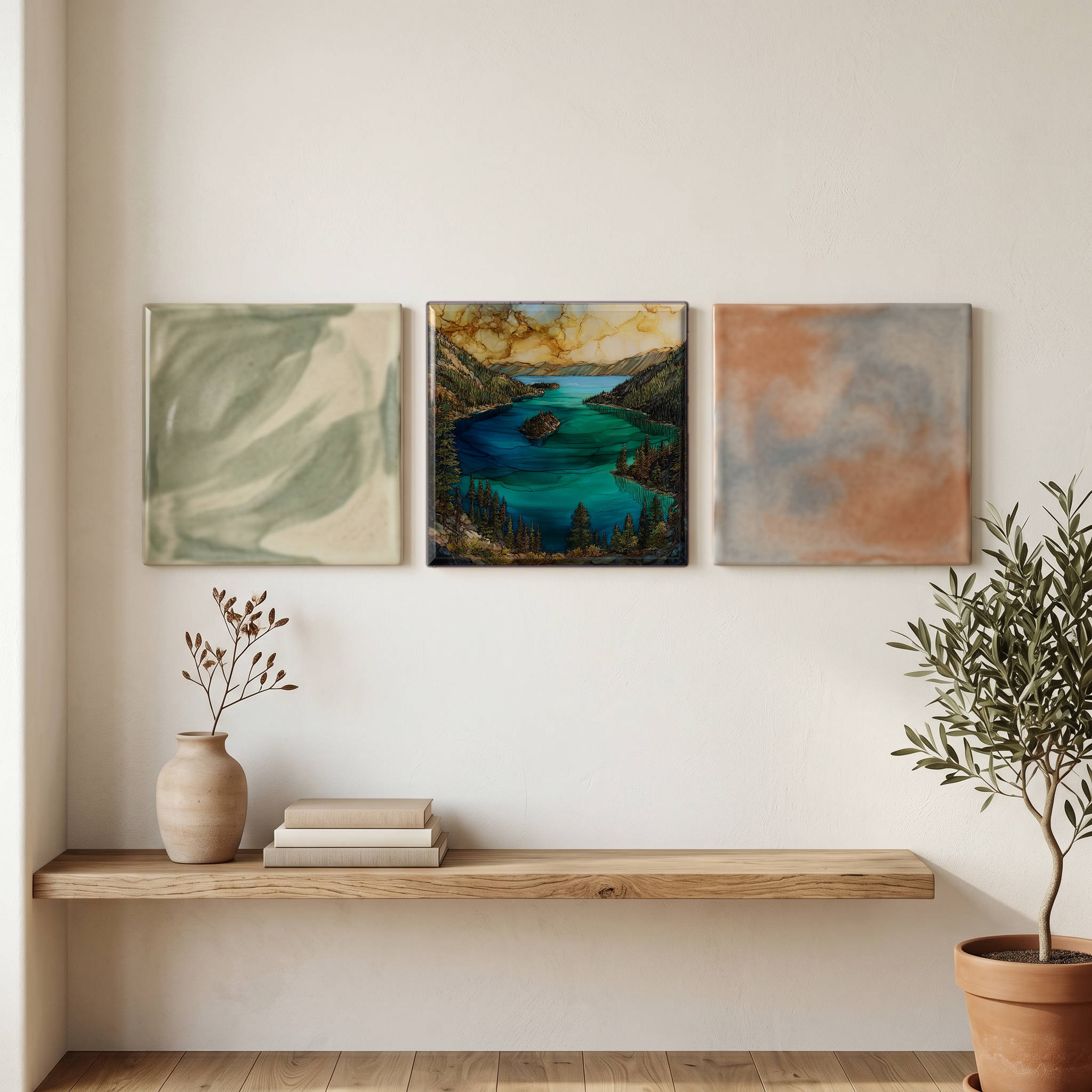
Emerald Bay Lake Tahoe
— — the green the blue makes room for.
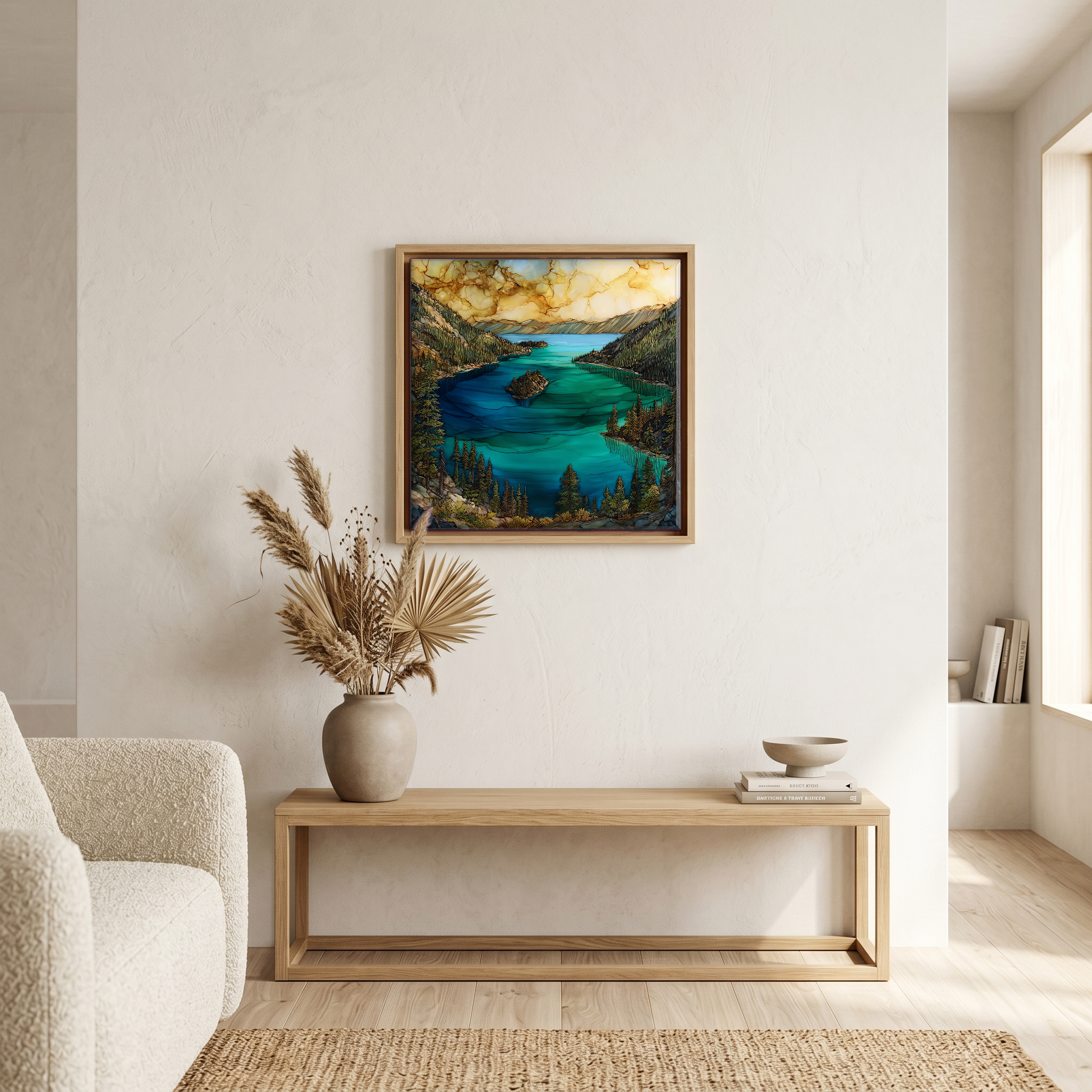
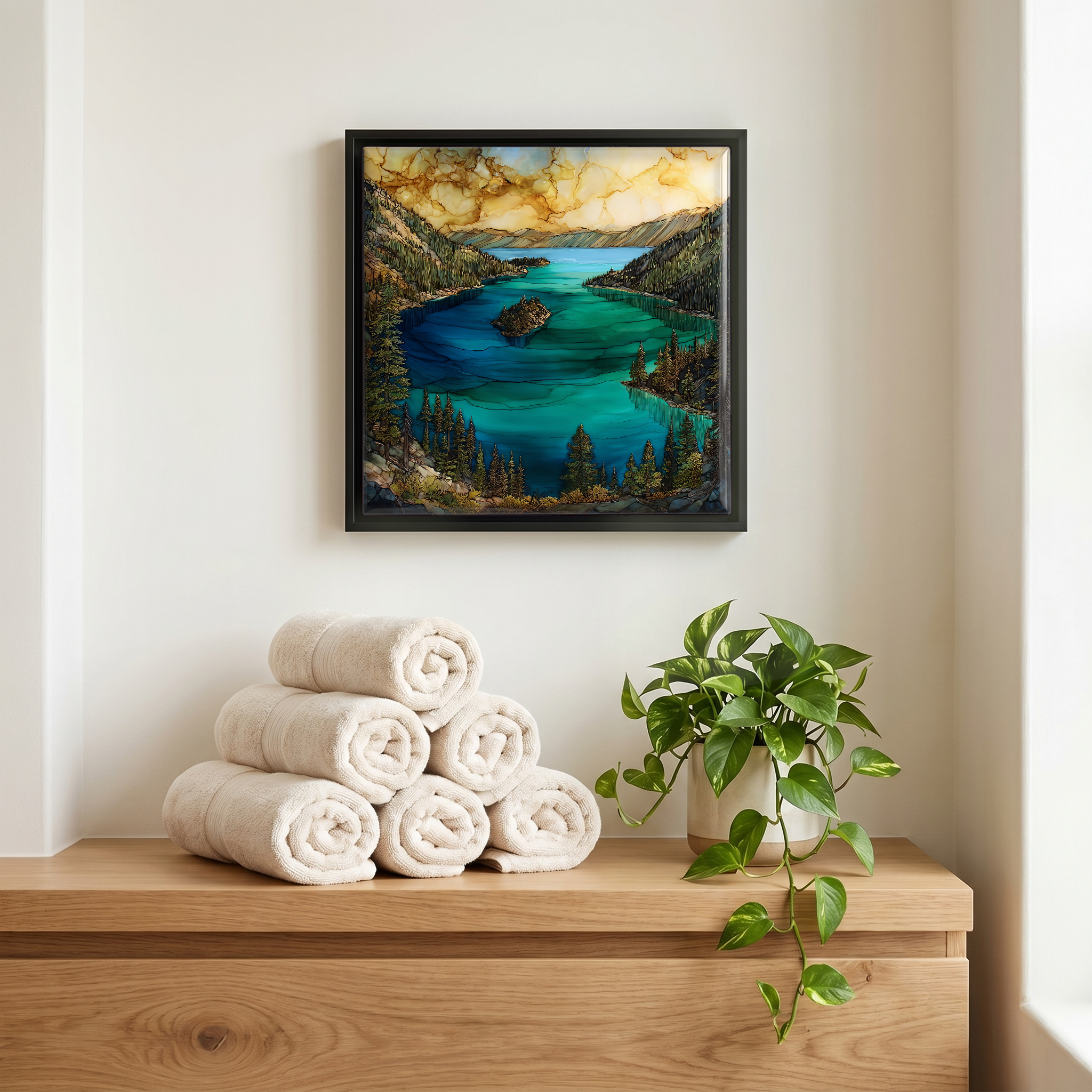
Not only on a wall.
“This is the southwest corner of Lake Tahoe where the shoreline folds in on itself, leaving a narrow inlet of shallow water over a granite bottom. The cove reads emerald against the deep blue lake outside it. Fannette Island sits in the middle, the only island Lake Tahoe has. Highway 89 winds along the rim above; the trail down to Vikingsholm drops nearly five hundred feet. Boats come in slowly through the narrow channel. Eagle Falls comes down the cliff to the south. In late afternoon the granite holds the heat and the water goes still.
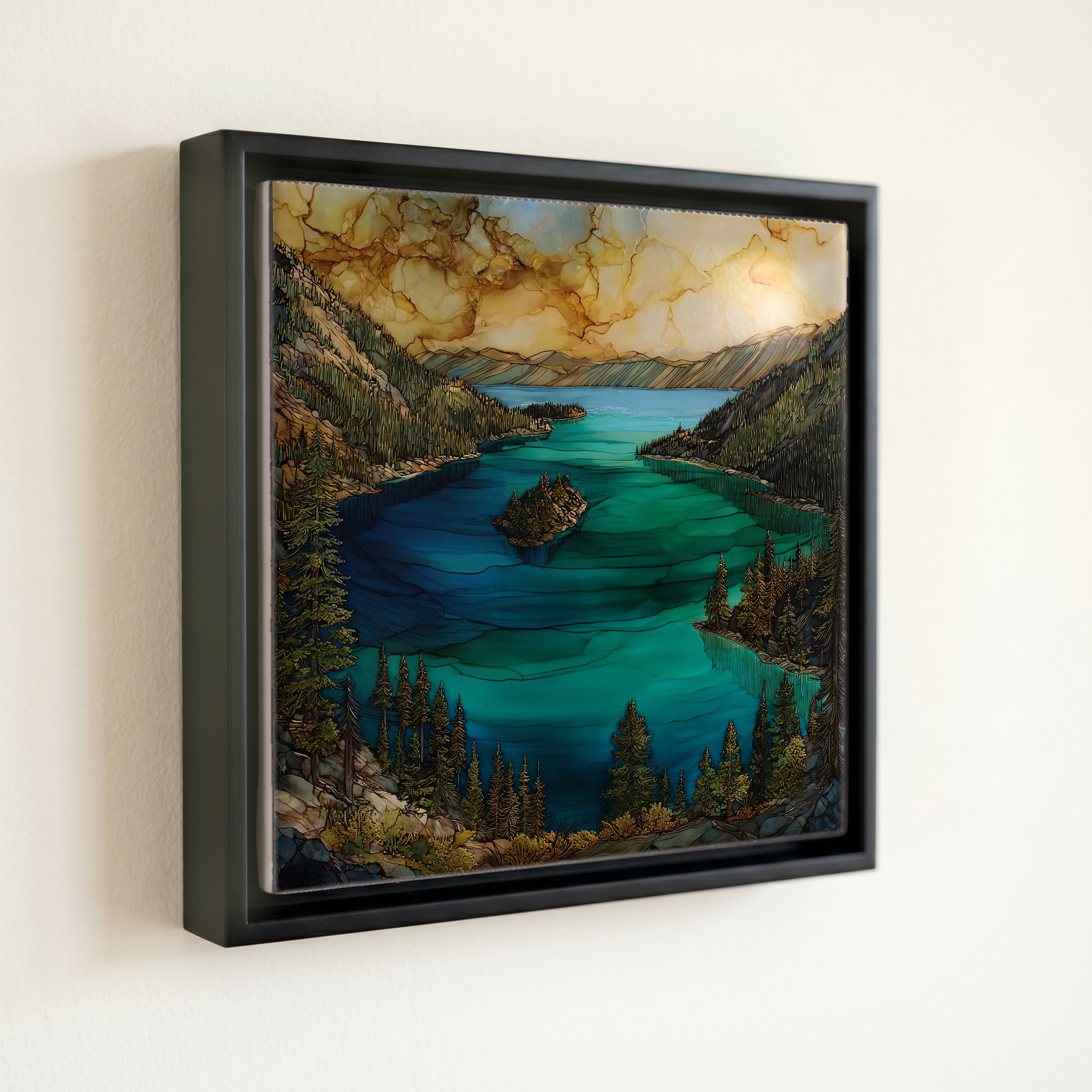
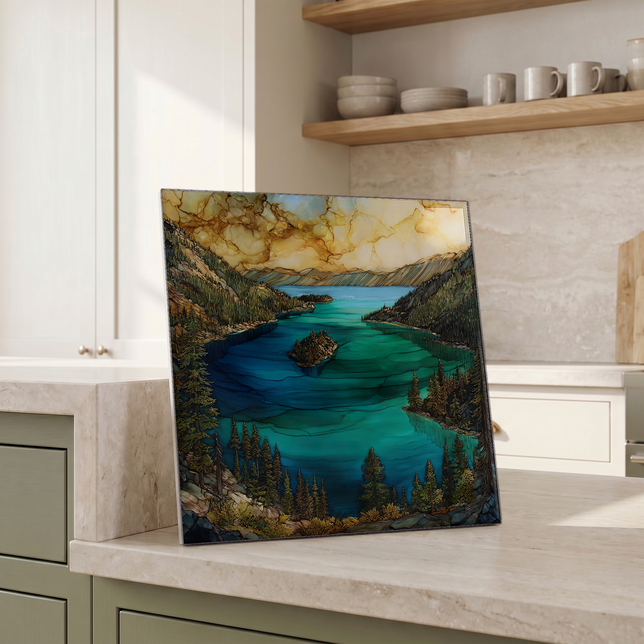
Emerald Bay Lake Tahoe, on ceramic.
Each tile is finished by hand in our Knoxville studio. Artwork is slowly infused into the ceramic surface under high heat and pressure, and rests beneath a thin glossy finish. The colour lives in the surface, not on top of it.
Pick any four 4-inch tiles — National Parks you've been to, a Smokies set, the four seasons of one place. $ for a set of , cork-backed, ready to live on the table.
Each tile ships in a kraft box, tied with cream ribbon, with a handwritten note from the studio if you'd like to add one.
Three or five different vistas, hung together — a chapter of places you've been, or want to go.
The place, in three passes.
Emerald Bay is a three-mile inlet on the southwest shore of Lake Tahoe, in El Dorado County, California, at about 6,225 feet of elevation. The bay sits inside Emerald Bay State Park, established in 1953, and was designated a National Natural Landmark in 1969. Highway 89 climbs along its rim to Inspiration Point, the overlook most photographs come from. From the parking area, a one-mile trail descends roughly 500 feet to Vikingsholm at the head of the bay and to Fannette, the only island Lake Tahoe holds. The underwater half of the bay is California's first underwater state park, protecting a small fleet of sunken construction barges that once carried building materials for the houses on the shore.
The bay reads green because of how the granite floor sits beneath the water. Lake Tahoe is famously deep, over 1,640 feet at its deepest, and the open water absorbs the red end of the spectrum and returns a deep blue. Emerald Bay is shallower, around 150 feet at its deepest point, with a pale granite bottom and submerged shoals near the entrance. Sunlight reaches the floor, reflects off the granite, and combines with what blue the column still holds. The result is the green Sierra postcards have been carrying for a century. The colour is brightest from late morning through early afternoon, when the sun is high enough to penetrate the water directly.
The park stays open through the seasons, but access shifts with the snow. From late spring through October, Highway 89 along the bay is reliably open and the trail down to Vikingsholm is walkable; the house itself is tour-only, run by Sierra State Parks, with a small fee and a summer schedule. In winter the highway often closes around Emerald Bay after storms, and the overlook becomes a place you stop on cleared days for the silence. The boat-in campground inside Emerald Bay is one of only a handful of its kind in California. Day parking at Inspiration Point fills early on summer weekends. Eagle Falls, on the south side, is loudest in May and June when the snowpack is releasing.