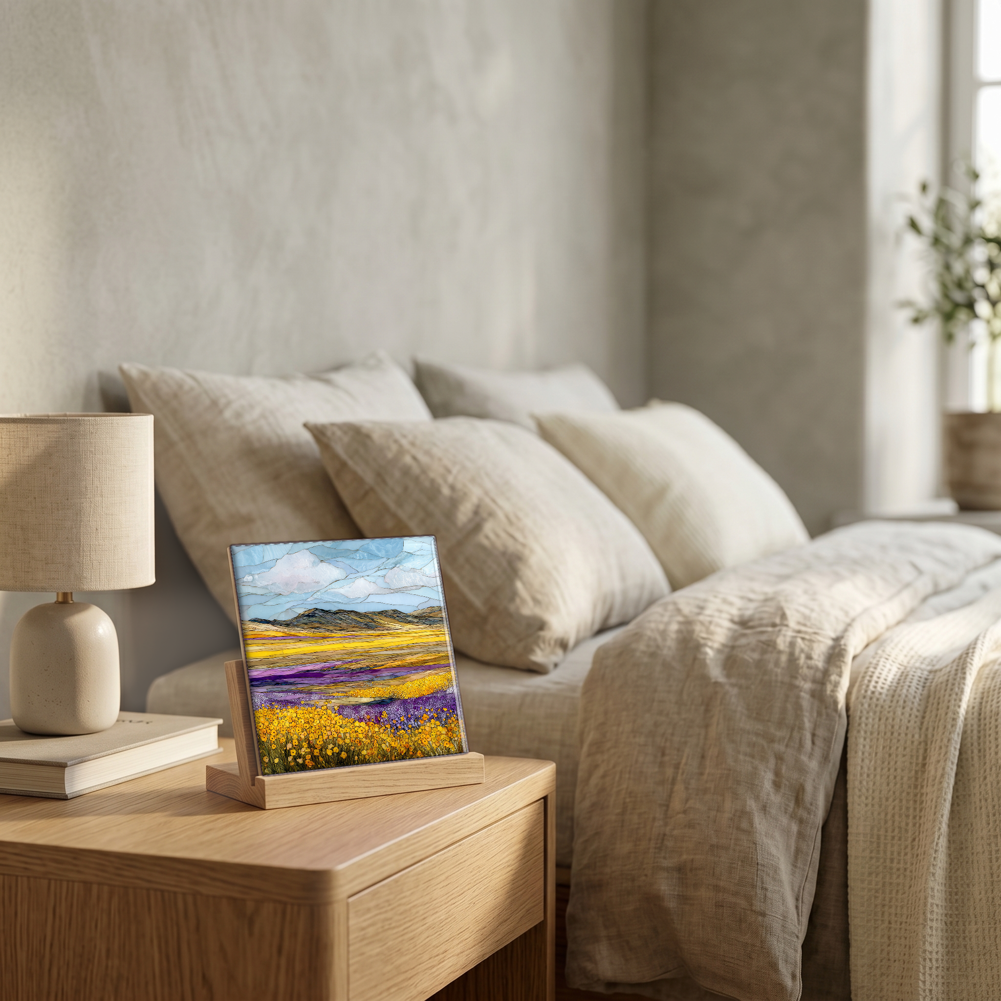
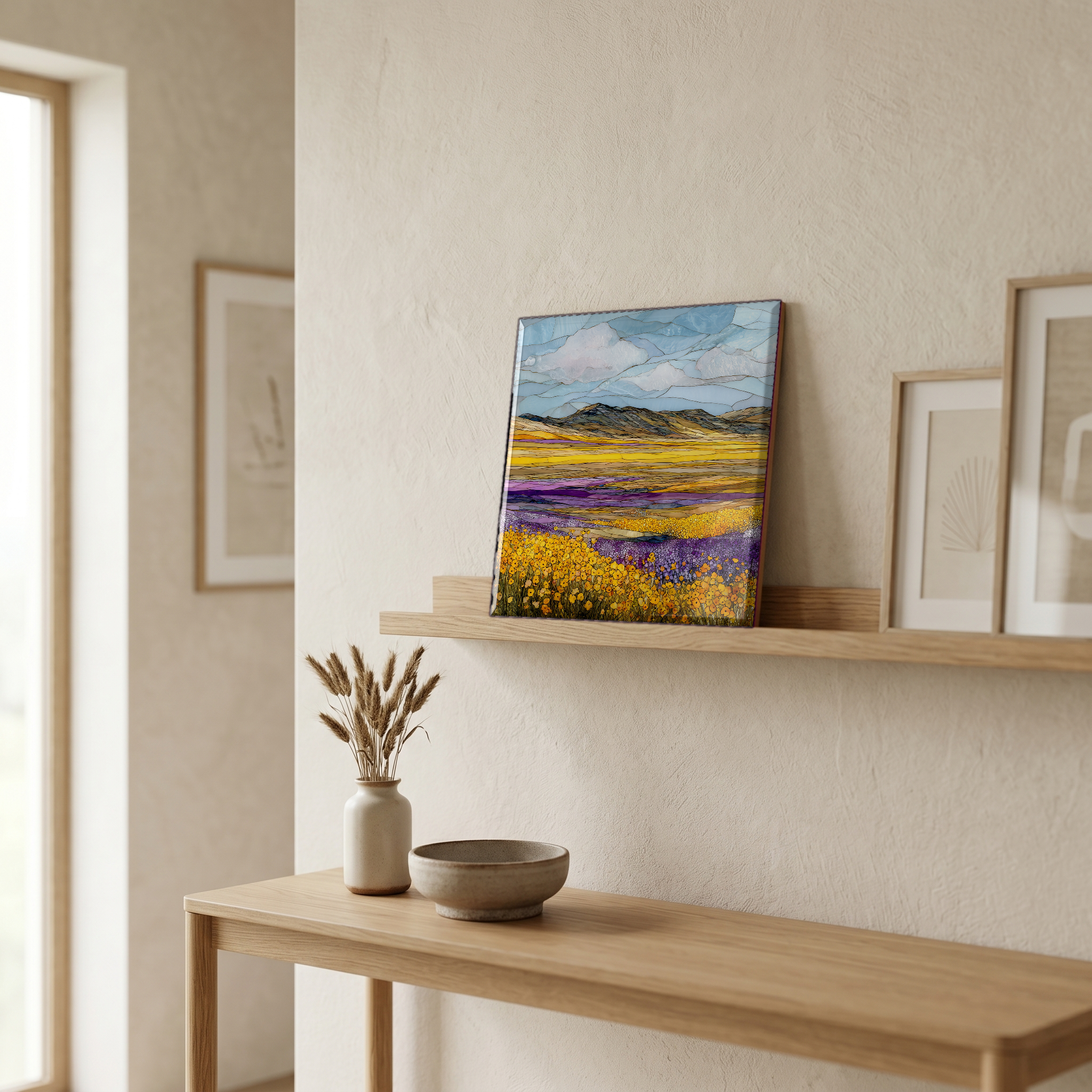
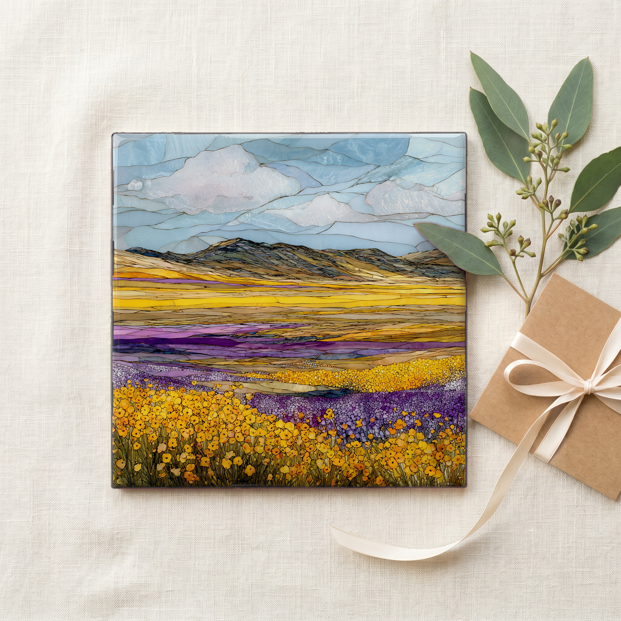
Carrizo Plain Superbloom
— the spring the rain remembered.
Not only on a wall.
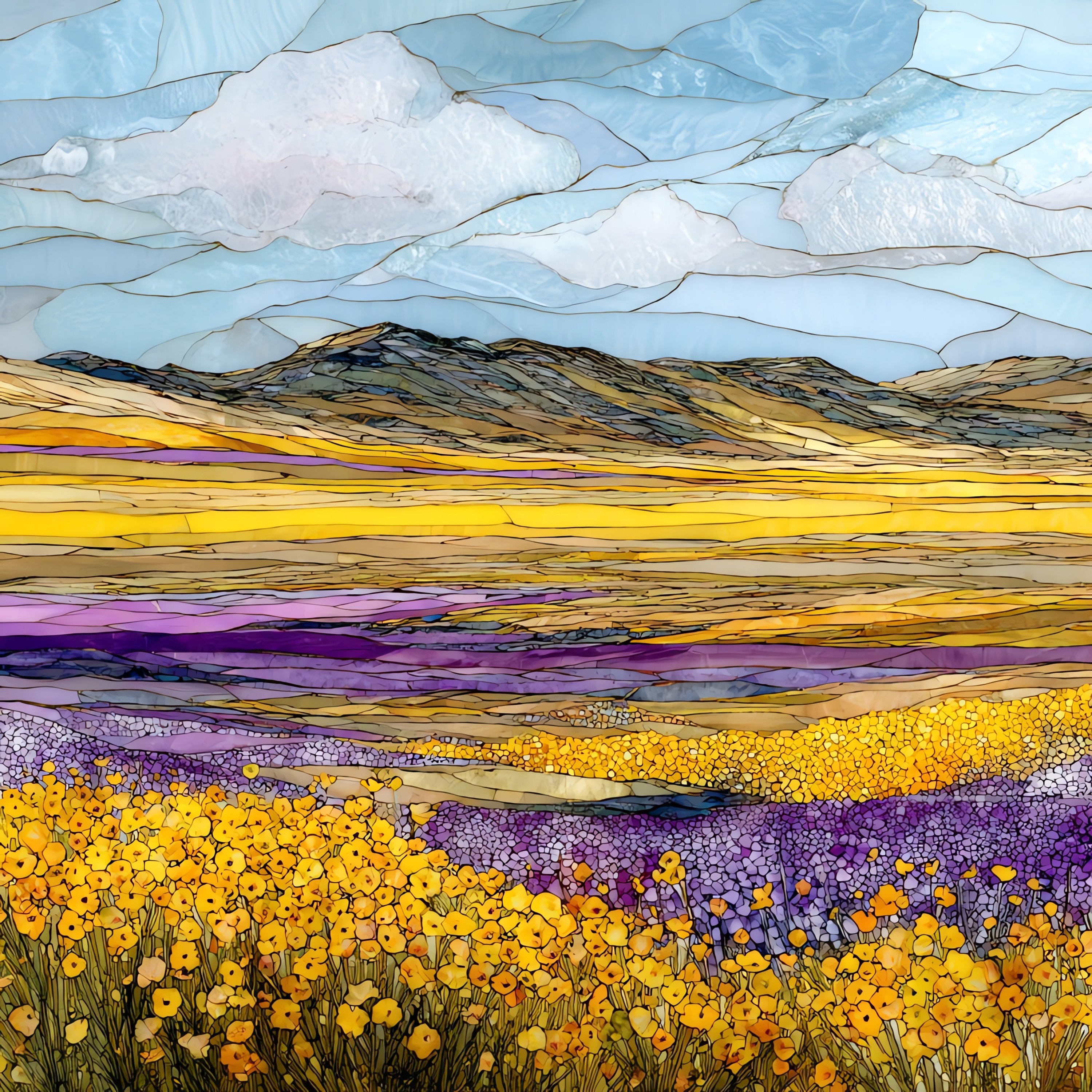
“A grassland the size of a small county, between two coastal ranges that almost meet. Most years the plain stays gold and tan, the way California looks in postcards. Then a wet winter comes through and something else happens. The hills along the Temblor Range come up in bands of yellow goldfields, purple phacelia, and white tidy tips, for about three weeks in March. The bloom is not annual. It is the year the rain decides. Soda Lake stays white with salt while the hills do their work.
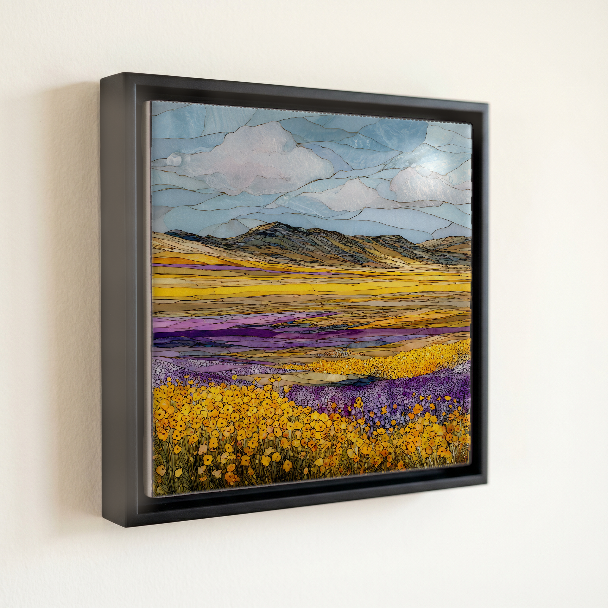
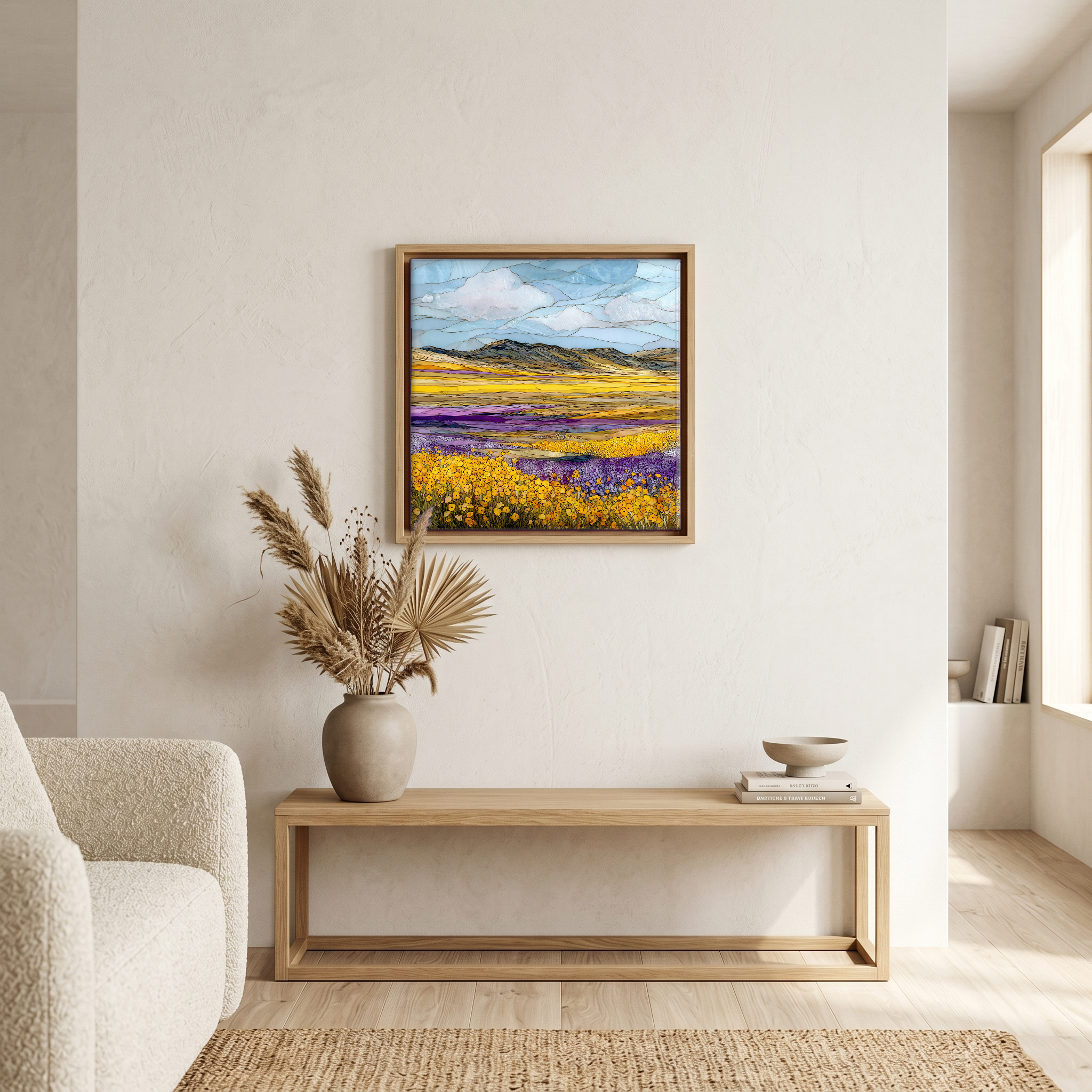
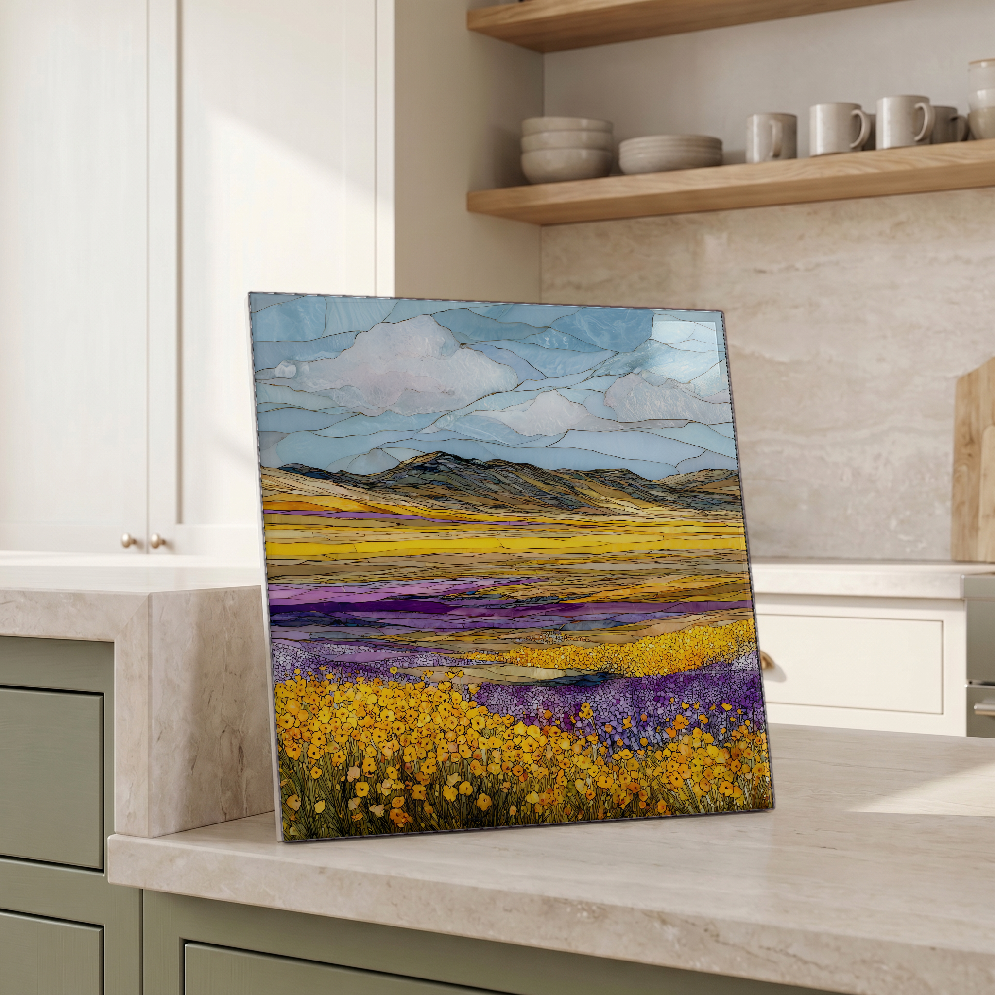
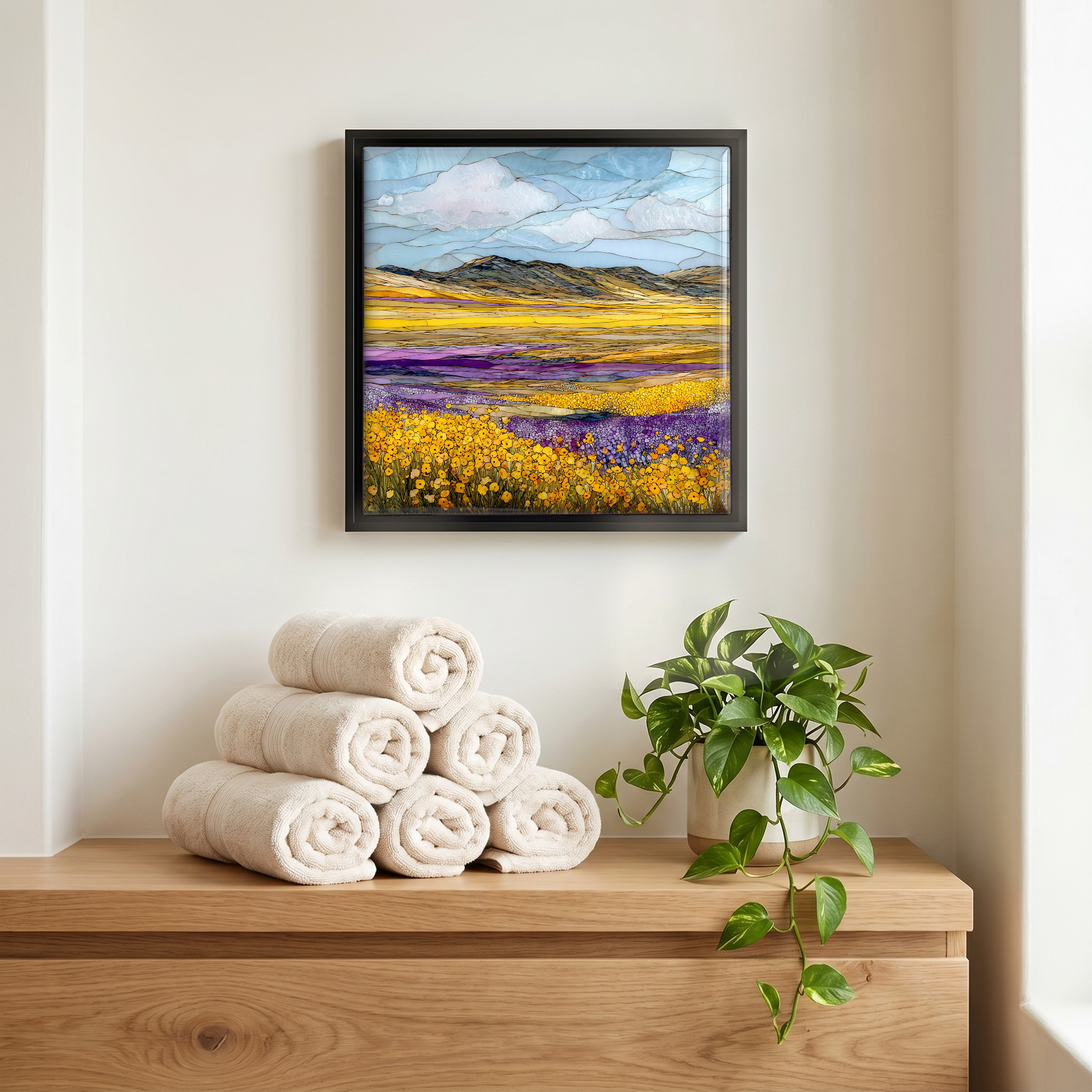
Carrizo Plain Superbloom, on ceramic.
Each tile is finished by hand in our Knoxville studio. Artwork is slowly infused into the ceramic surface under high heat and pressure, and rests beneath a thin glossy finish. The colour lives in the surface, not on top of it.
Pick any four 4-inch tiles — National Parks you've been to, a Smokies set, the four seasons of one place. $ for a set of , cork-backed, ready to live on the table.
Each tile ships in a kraft box, tied with cream ribbon, with a handwritten note from the studio if you'd like to add one.

Three or five different vistas, hung together — a chapter of places you've been, or want to go.
The place, in three passes.
Carrizo Plain National Monument is in southeastern San Luis Obispo County, California. The plain is about 50 miles long and 15 miles wide, between the Caliente Range to the west and the Temblor Range to the east. Managed by the Bureau of Land Management since the area was designated a national monument in 2001. It covers more than 200,000 acres of native grassland, the largest single piece of California's remaining grassland ecosystem. The San Andreas Fault runs visibly along the eastern edge, against the Temblor Range. Soda Lake, in the centre of the plain, is an alkali endorheic basin with no outlet. Access is via Soda Lake Road from Highway 58 in the north or Highway 166 in the south. Nearest town: California Valley.
The colour comes from a sequence of wildflower species blooming in waves. California goldfields (Lasthenia californica) paint the yellows; tansy phacelia and chia provide the purples; tidy tips (Layia platyglossa) the whites; hillside daisies the oranges. In a good year the slopes of the Temblor Range stripe themselves with these bands, the result of soil chemistry and slope aspect sorting which species takes which strip of ground. The 2017 bloom was the most photographed in living memory, visible from low-earth satellite imagery. 2019 produced a second wave. Both followed winters with rainfall well above the long-term average for southeastern San Luis Obispo County.
Carrizo Plain wildflowers peak from mid-March to mid-April in a wet year, with the lower elevations blooming first and the Temblor Range slopes following. The trigger is rainfall in the November-through-February window. Without it the plain stays gold-and-tan and the season is a non-event. During a documented bloom, Soda Lake Road and the unpaved Temblor track above it draw far more traffic than the BLM's facilities accommodate, and the agency posts year-specific guidance on its Carrizo Plain National Monument page. Dirt access roads turn to clay after rain. Late April is too late. Most years have no superbloom at all.