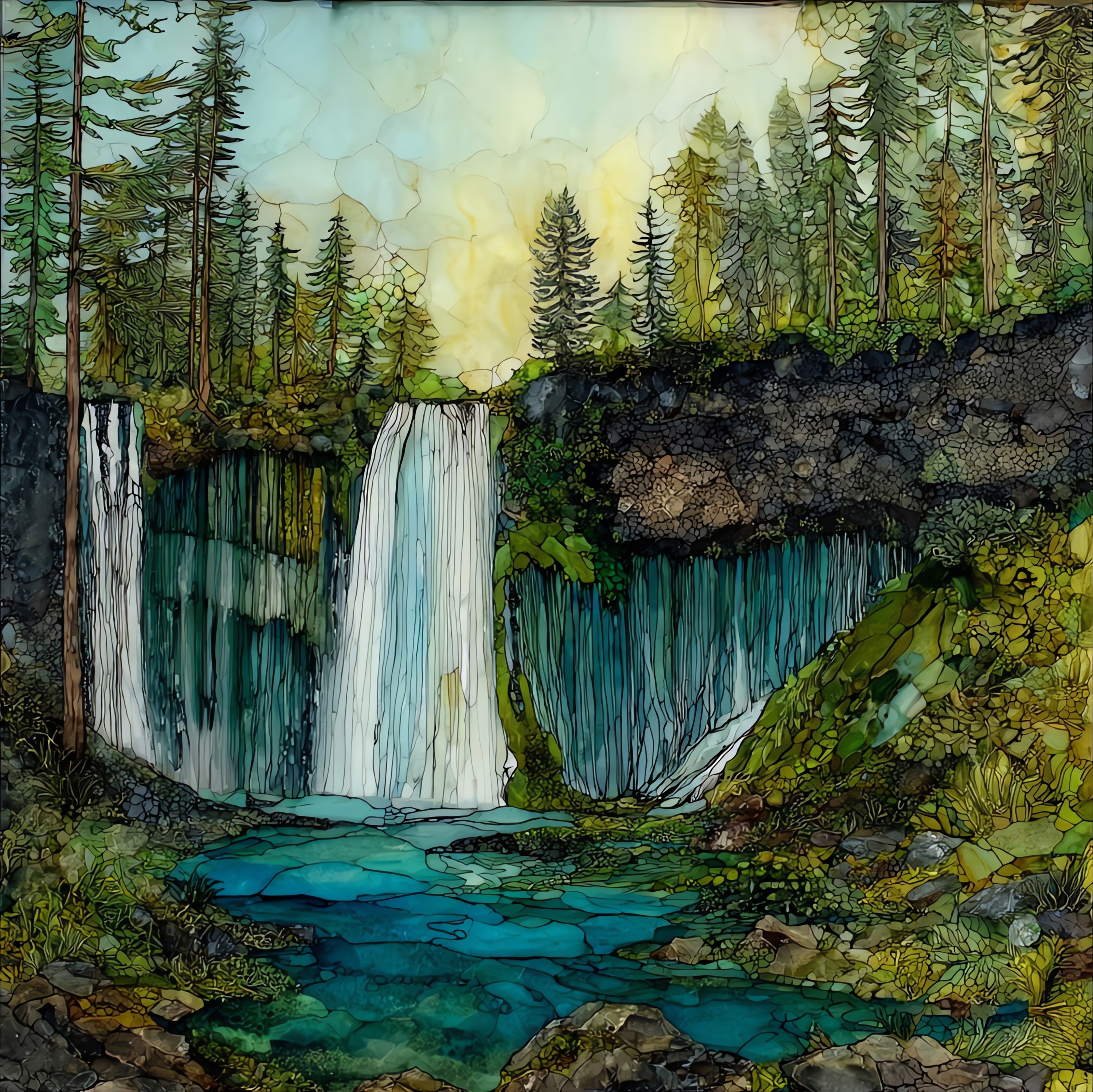
Burney Falls
— — a wall the water comes through, not over.
Not only on a wall.

“Two streams of Burney Creek meet at the rim of a 129-foot basalt cliff. The rest of the water comes through the wall itself, fed by underground springs that emerge from the rock face as a curtain of veils. The flow is the same in February as in August. Moss and maidenhair fern hold to every wet ledge. The Pit River people knew this place long before the McArthur family deeded it to California in 1920. There is a paved trail down to the pool, and a longer loop back up through black oaks. Most visitors stop talking when they reach the bottom.
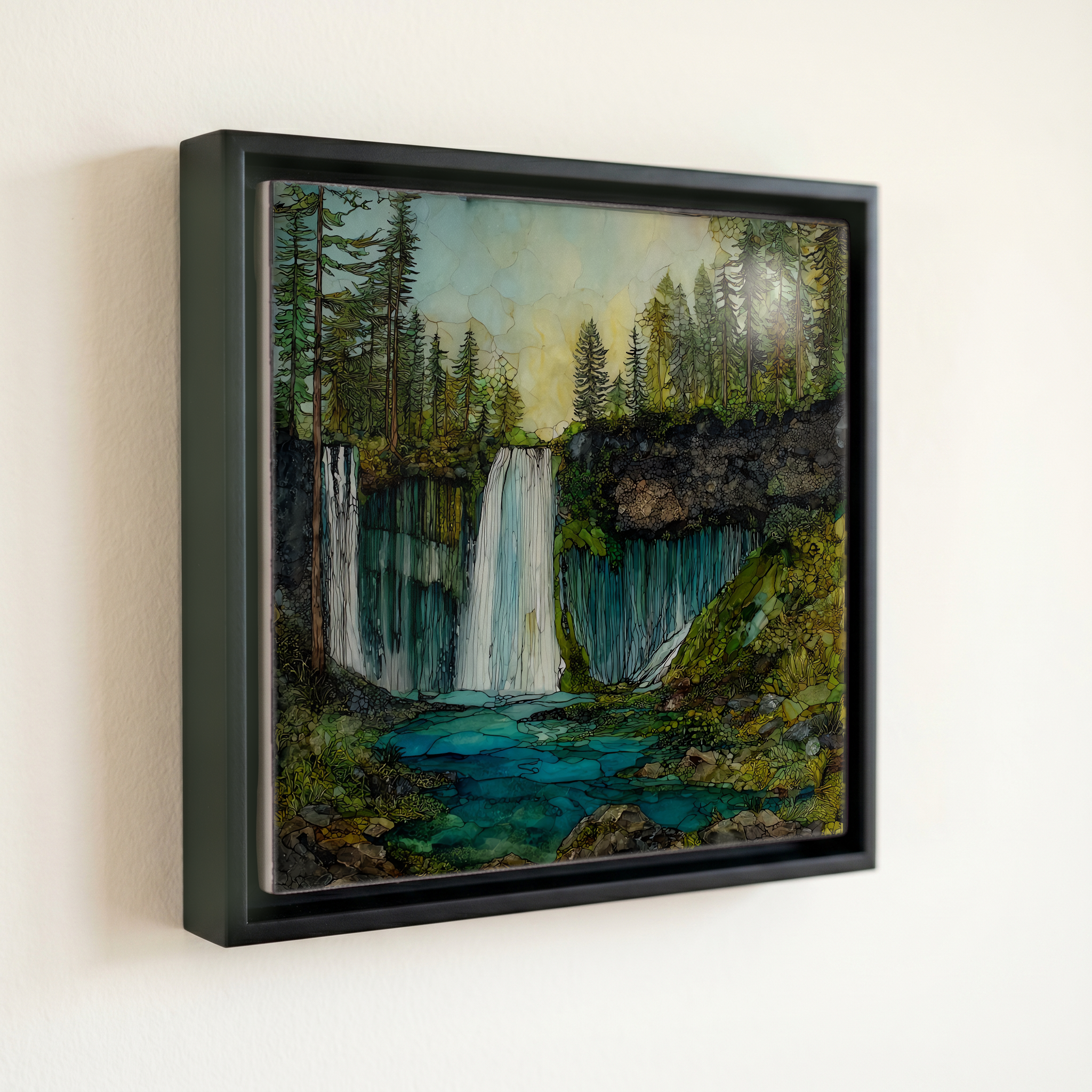
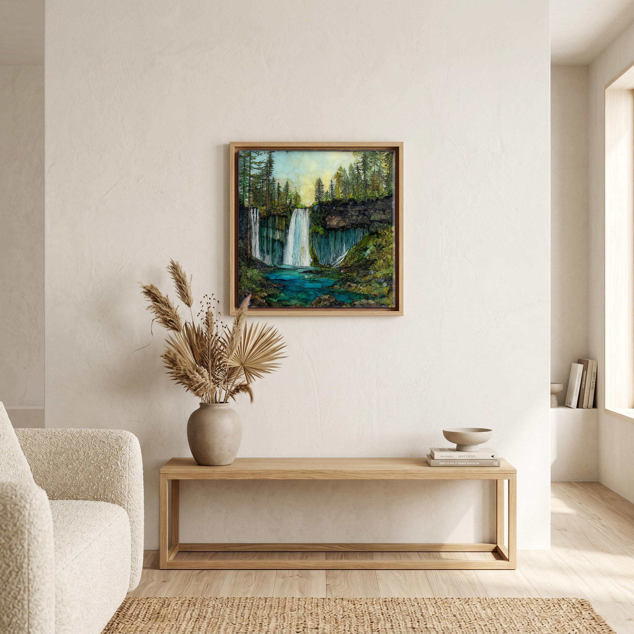
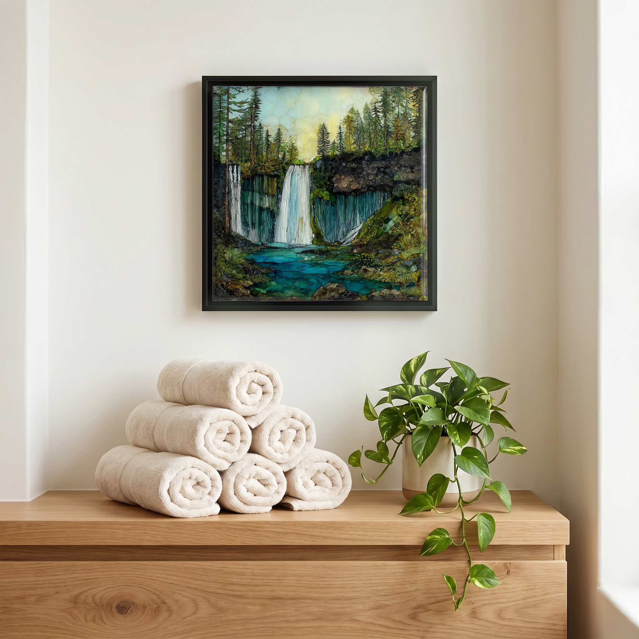
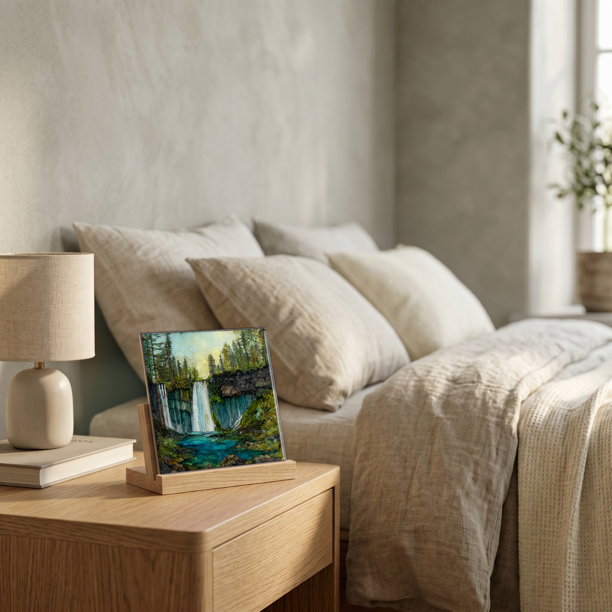
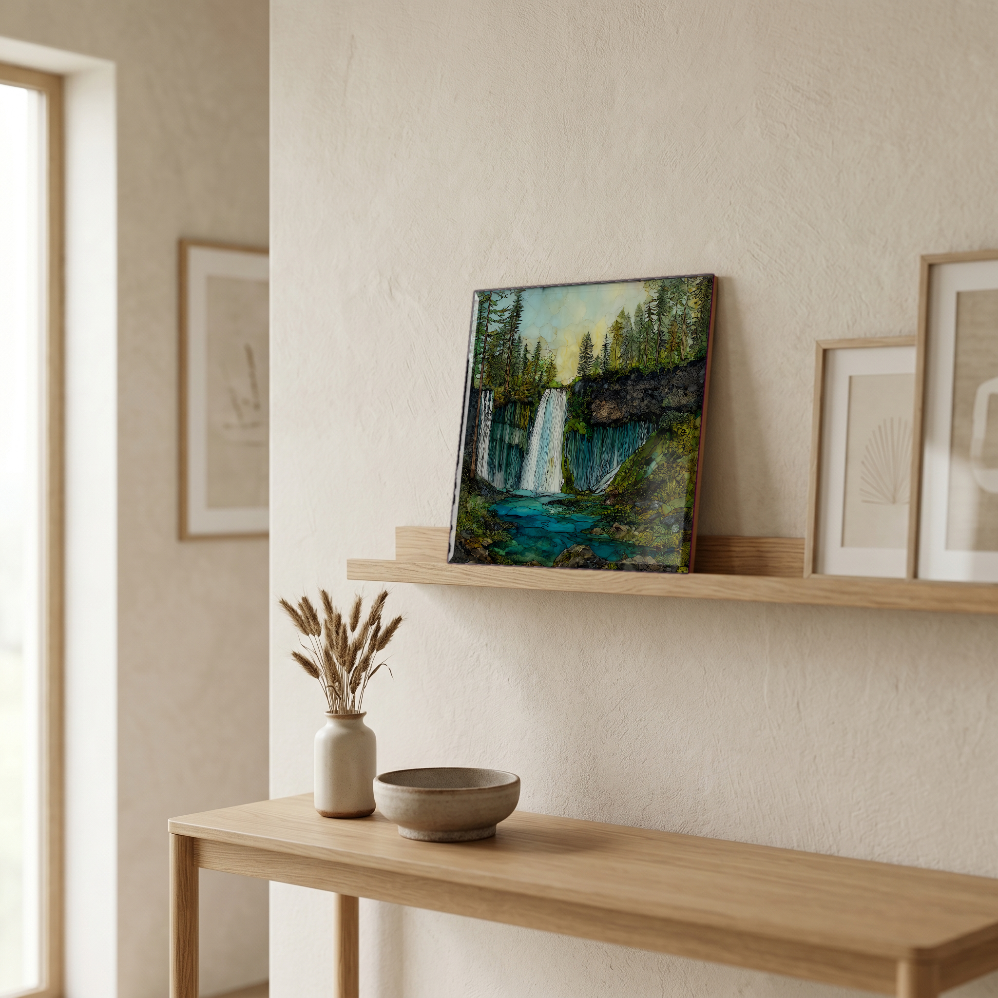
Burney Falls, on ceramic.
Each tile is finished by hand in our Knoxville studio. Artwork is slowly infused into the ceramic surface under high heat and pressure, and rests beneath a thin glossy finish. The colour lives in the surface, not on top of it.
Pick any four 4-inch tiles — National Parks you've been to, a Smokies set, the four seasons of one place. $ for a set of , cork-backed, ready to live on the table.
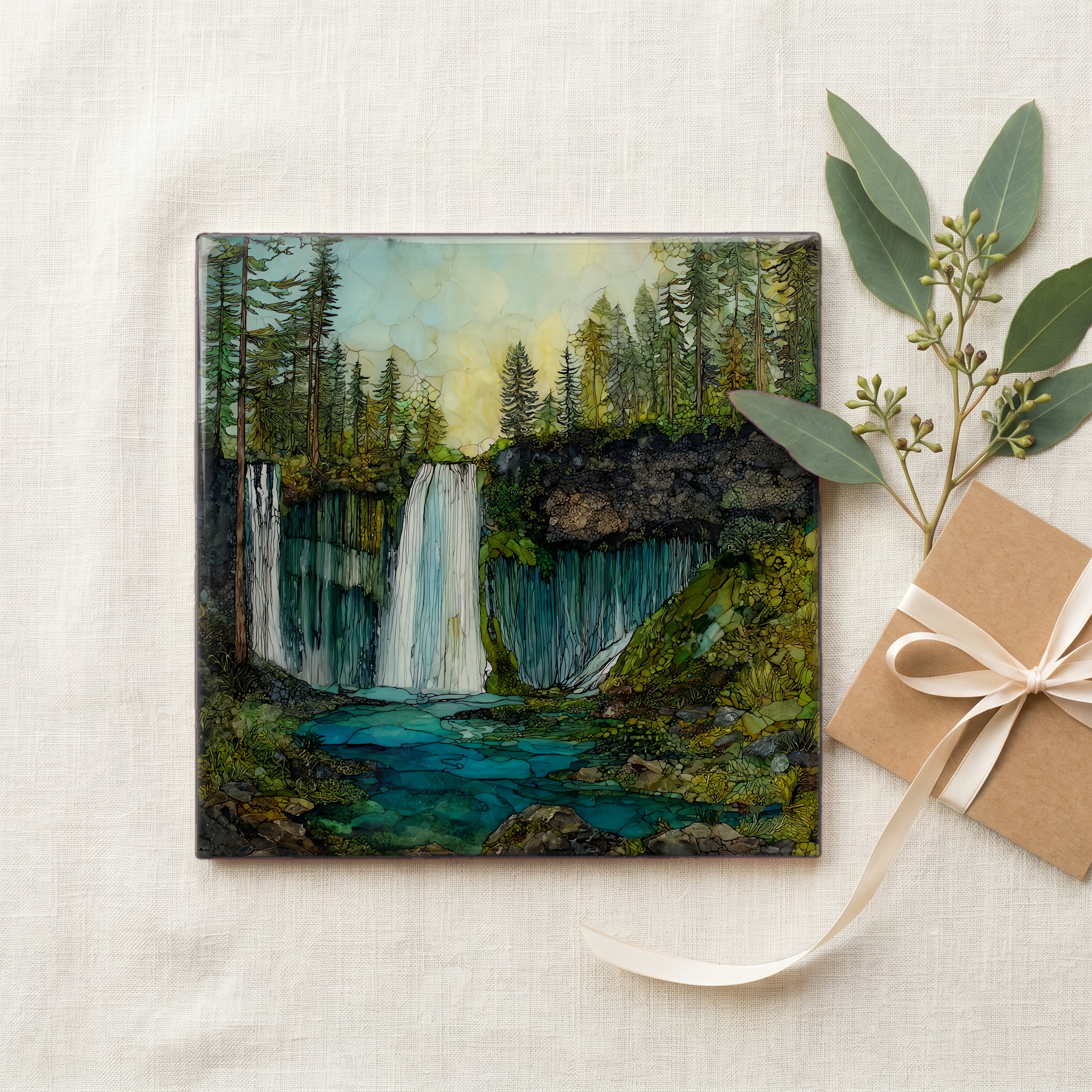
Each tile ships in a kraft box, tied with cream ribbon, with a handwritten note from the studio if you'd like to add one.
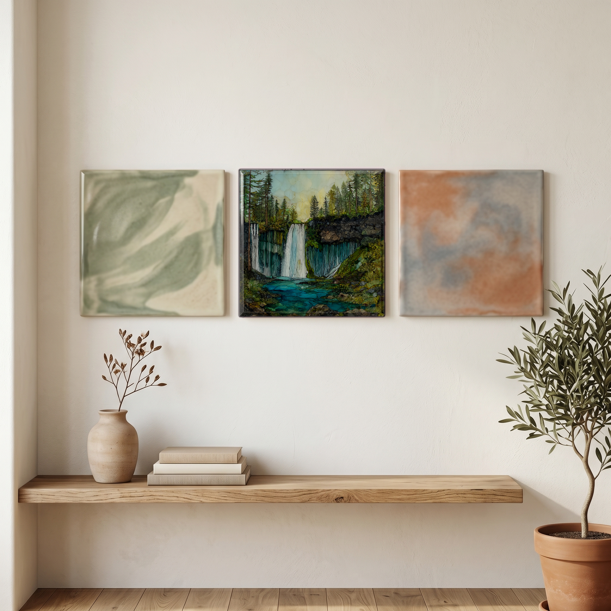
Three or five different vistas, hung together — a chapter of places you've been, or want to go.
The place, in three passes.
Burney Falls drops 129 feet over a basalt cliff on the western edge of the Modoc Plateau, in Shasta County, northern California. The falls sit inside McArthur-Burney Falls Memorial State Park, about 6 miles north of the town of Burney and roughly 70 miles northeast of Redding, reached by Highway 89 near its junction with Highway 299. The park spans about 910 acres, including a stretch of the Pit River and the southern shore of Lake Britton. Elevation at the falls is around 3,000 feet, in the transition zone where the Cascade Range meets the volcanic plateau. The McArthur family deeded the land to California in 1920, naming the park for pioneer Samuel Burney.
Two channels of Burney Creek meet at the cliff's edge to begin the descent. What makes the falls distinctive is what happens below the rim. Water emerges from the porous basalt of the cliff face itself, fed by an aquifer that sits above an underlying layer of impermeable rock. The combined flow holds steady at roughly 100 million gallons per day, in February or in August, in drought or in flood. Theodore Roosevelt is often credited with calling Burney Falls the eighth wonder of the world; the attribution is undocumented, but the comparison persists. The National Park Service designated the site a National Natural Landmark in 1954.
The park gate stays open every season; the falls themselves never freeze and never run dry. A paved trail descends roughly a quarter-mile from the overlook to the plunge pool, and a longer loop of about 1.3 miles climbs back up through black oak and ponderosa pine. Day-use entry runs around $10 per vehicle, payable at the kiosk or via self-pay envelope when the booth is unstaffed. Highway 89 reaches the park from the south via Interstate 5 at Redding, or from the east via Highway 299 from Alturas. The closest commercial airport is Redding Regional, about an hour and a half west. Cell service in the canyon is unreliable.