Bixby Creek Bridge
— — a single white arch above the surf.
Not only on a wall.


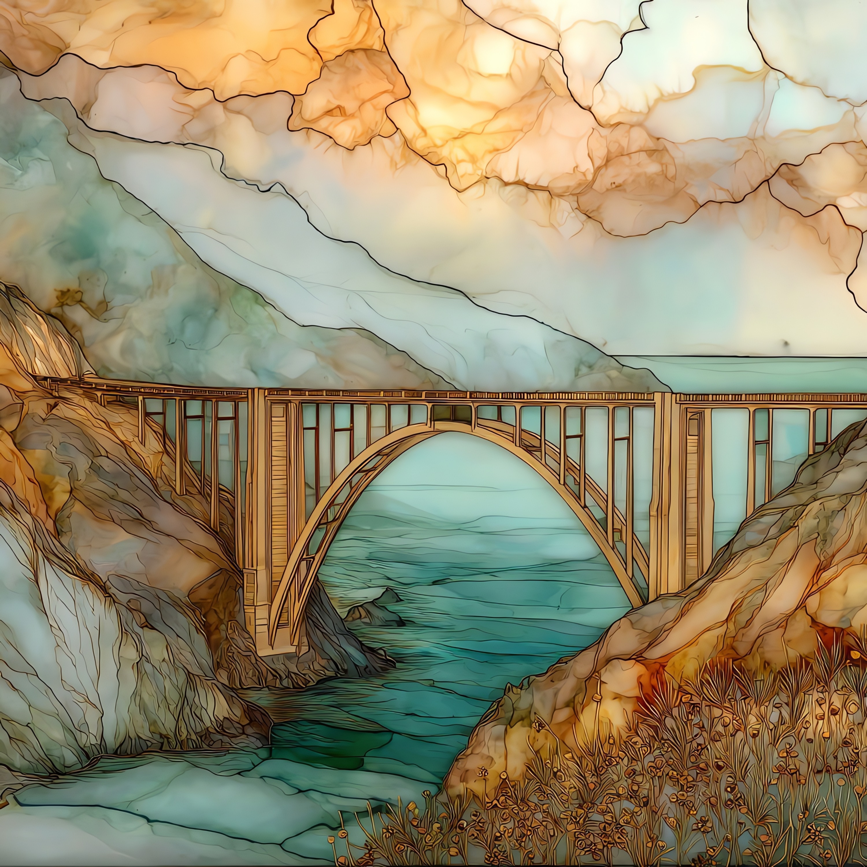
“Concrete arch on the Big Sur coast, opened in 1932 to give Highway 1 a way across the canyon mouth. Two hundred and eighty feet below, the surf works the rocks at the cove. Hurricane Point sits just to the north. Most mornings the fog burns off by mid-morning. Before the bridge, the inland detour took eleven extra miles. After it, Big Sur stopped being unreachable in winter. The arch still reads white against the sea from a long way off.
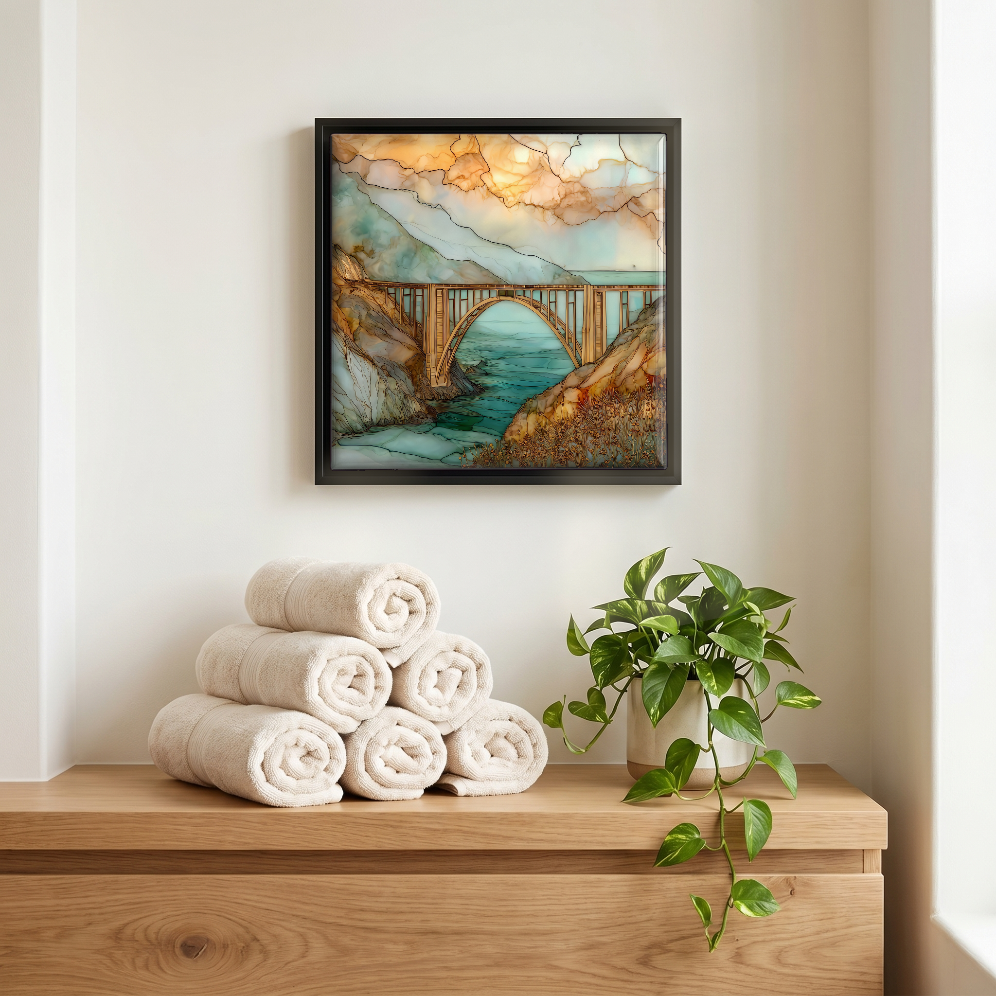
Bixby Creek Bridge, on ceramic.
Each tile is finished by hand in our Knoxville studio. Artwork is slowly infused into the ceramic surface under high heat and pressure, and rests beneath a thin glossy finish. The colour lives in the surface, not on top of it.
Pick any four 4-inch tiles — National Parks you've been to, a Smokies set, the four seasons of one place. $ for a set of , cork-backed, ready to live on the table.
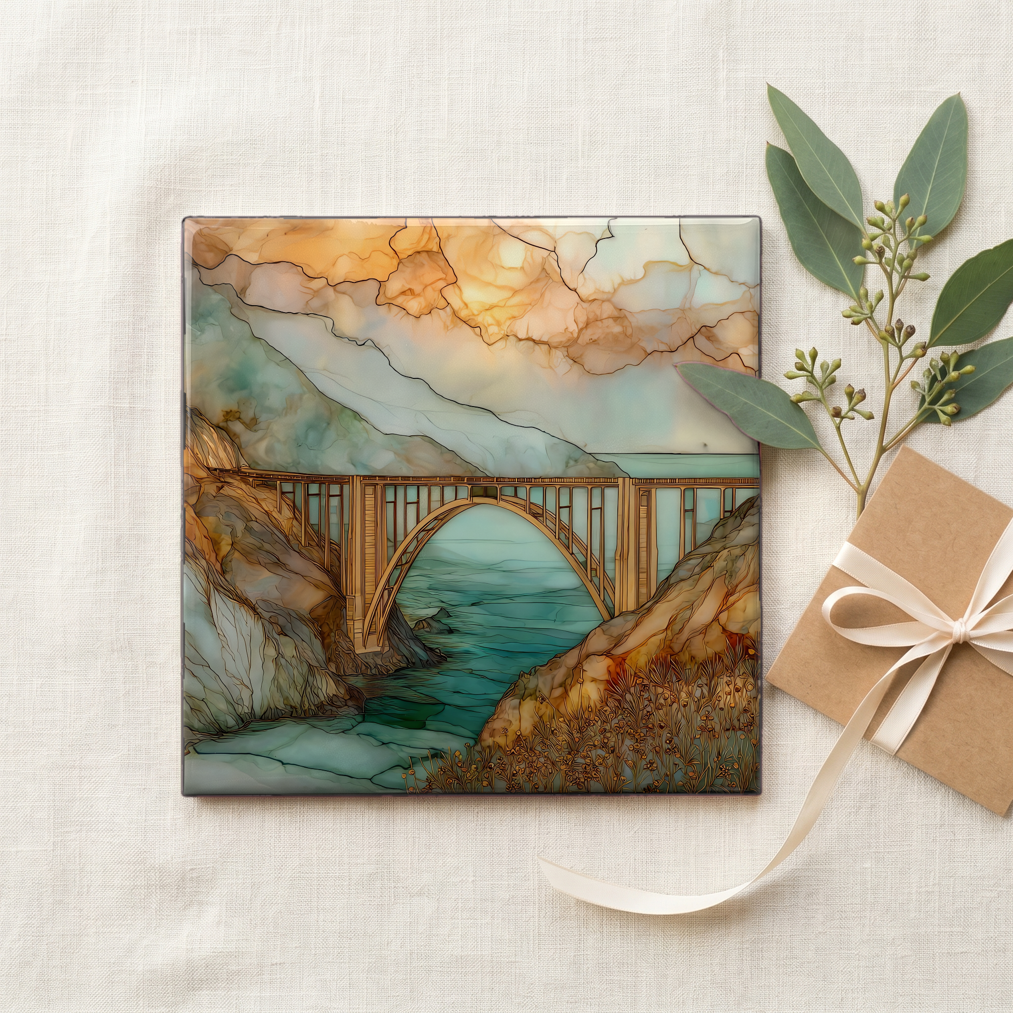
Each tile ships in a kraft box, tied with cream ribbon, with a handwritten note from the studio if you'd like to add one.

Three or five different vistas, hung together — a chapter of places you've been, or want to go.
The place, in three passes.
Bixby Creek Bridge spans the canyon of Bixby Creek on California State Route 1, thirteen miles south of Carmel-by-the-Sea in Monterey County and roughly 120 miles south of San Francisco. The deck is 714 feet long and rises 280 feet above the canyon floor, where the creek runs out to a small cove on the Pacific. North of the bridge, Hurricane Point gives the most-used view; south, Highway 1 continues into the Big Sur region, past Point Sur Lighthouse and Andrew Molera State Park. The bridge sits on a stretch of road that was effectively impassable in winter before its construction. Today it carries one of the most photographed views on the American Pacific coast.
The bridge is a reinforced-concrete open-spandrel arch: a single span of 360 feet across the canyon, completed on November 27, 1932 at a cost of $199,861. C.H. Purcell, the state highway engineer, and bridge engineer F.W. Panhorst designed it; Ward Engineering Company of San Francisco built it. At completion it was the longest concrete arch in the California state highway system and one of the tallest single-span arch bridges in the world. The original deck is 24 feet wide, narrower than current Caltrans standard. A seismic retrofit completed in 2000 strengthened the structure for modern earthquake codes; the arch line of the 1932 design did not change.
The bridge stands where the Santa Lucia Range meets the Pacific, on a stretch of coast where marine fog moves in off the water through most of June and July. From the pull-off on the north side of the canyon, the view looks down the length of the deck onto the cove at the creek mouth. On clear days the surf line reads sharp against the cliff; on overcast mornings the white arch sits above a wall of grey. The whole Big Sur corridor of Highway 1 is closed periodically for landslide repair, with the stretch south of Bixby out of service for fourteen months after the 2017 Mud Creek slide.