Badwater Basin
— — the white the last sea left behind.
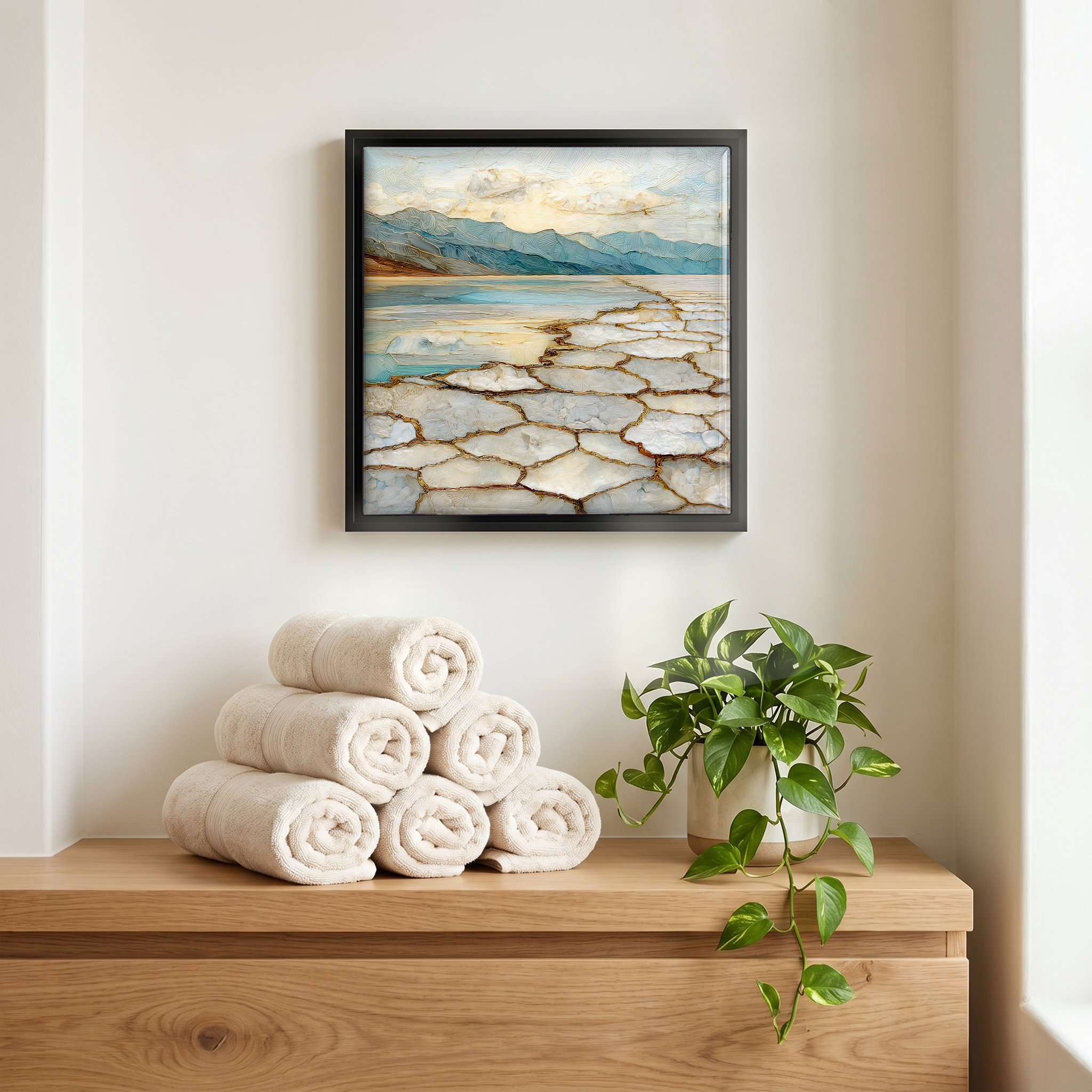
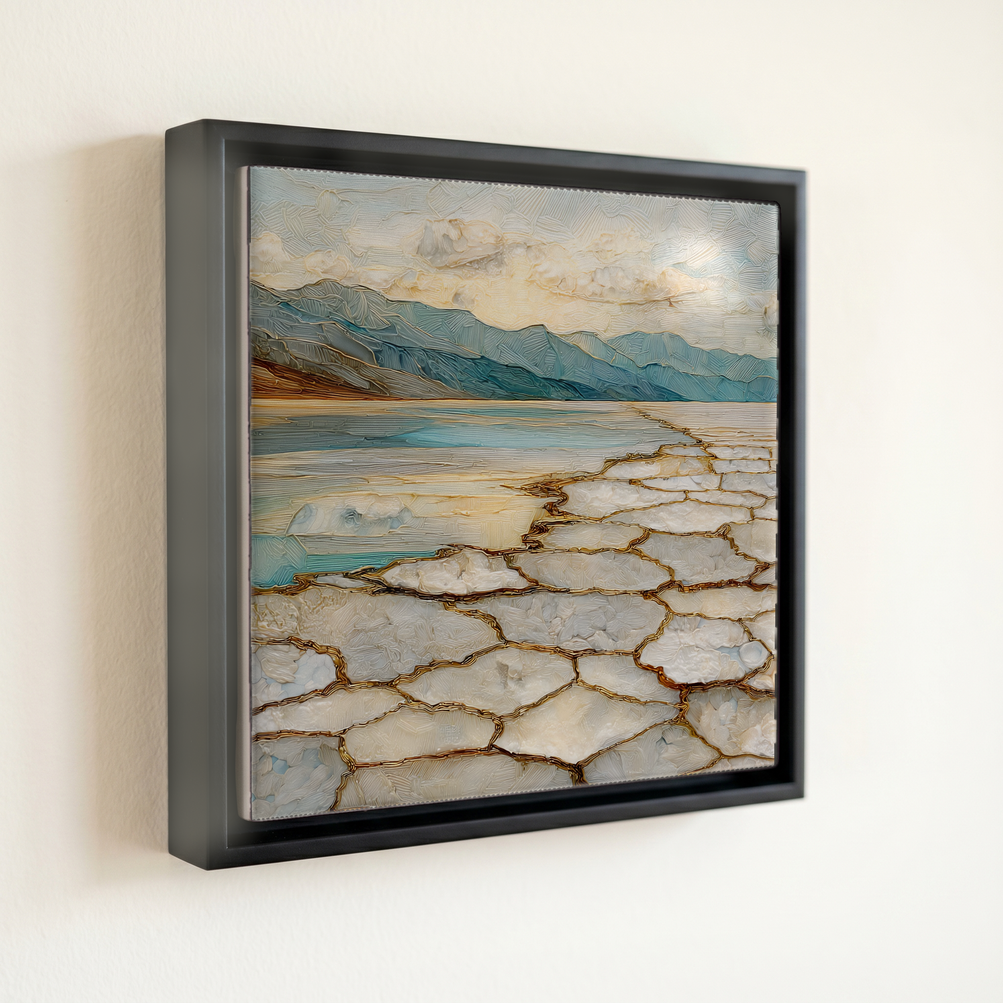
Not only on a wall.


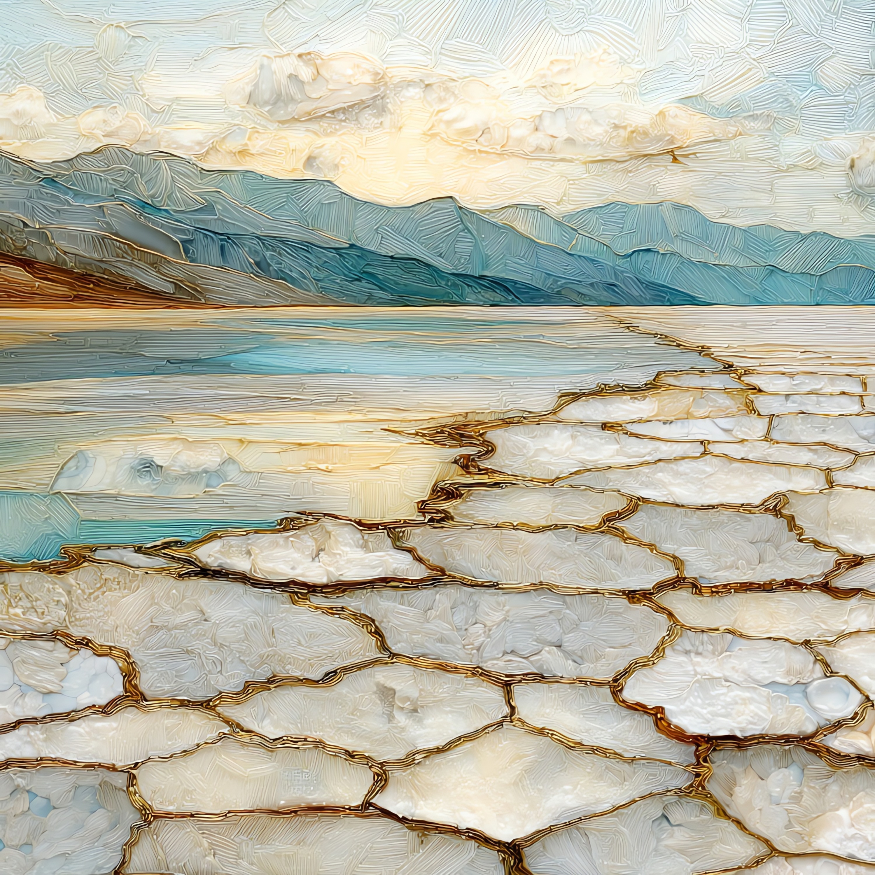
“The salt floor of Death Valley, eighty-five metres below sea level. The lowest open ground on the continent. A small spring-fed pool sits beside the road, too salty to drink; the basin takes its name from the mule that refused it. Walk out a few hundred yards and the white opens into hexagons, the crust the last evaporated lake left behind, redrawn every winter by what little rain falls. Telescope Peak rises eleven thousand feet to the west, above all of it. In summer the air goes past 120°F by noon. In November it is just possible to stand there.
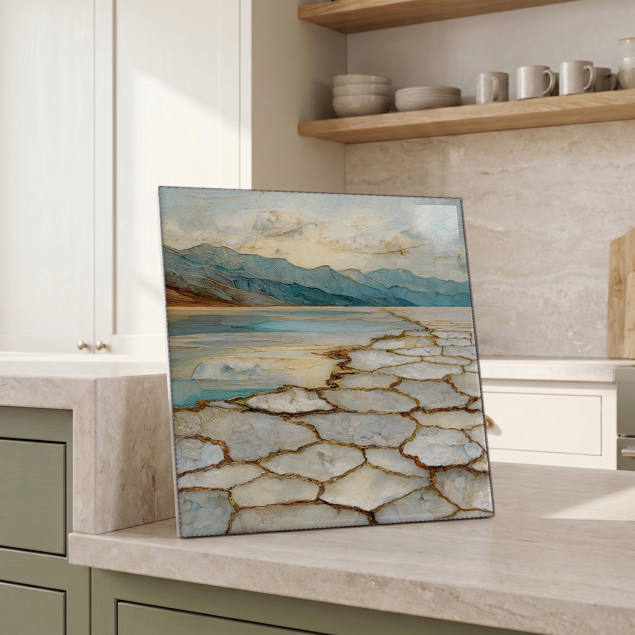
Badwater Basin, on ceramic.
Each tile is finished by hand in our Knoxville studio. Artwork is slowly infused into the ceramic surface under high heat and pressure, and rests beneath a thin glossy finish. The colour lives in the surface, not on top of it.
Pick any four 4-inch tiles — National Parks you've been to, a Smokies set, the four seasons of one place. $ for a set of , cork-backed, ready to live on the table.
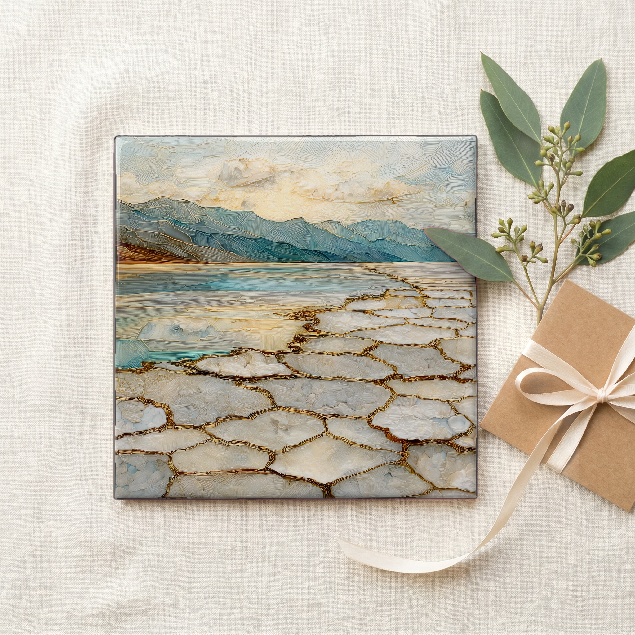
Each tile ships in a kraft box, tied with cream ribbon, with a handwritten note from the studio if you'd like to add one.

Three or five different vistas, hung together — a chapter of places you've been, or want to go.
The place, in three passes.
Badwater Basin sits at the southern end of Death Valley, in Inyo County, California, 282 feet below sea level. It is the lowest point of dry land in North America. The basin is part of Death Valley National Park, the largest national park in the contiguous United States at roughly 3.4 million acres. The salt pan extends about 200 square miles across the valley floor, framed to the west by the Panamint Range, with Telescope Peak rising to 11,043 feet directly above. Access is by Badwater Road, a paved stretch leading about 17 miles south from the Furnace Creek visitor center. A boardwalk at the trailhead leads onto the flats, where a cliff sign marks sea level high above the road.
The basin's name comes from a small spring-fed pool beside the road, an unmistakable green slick of water saturated with sodium chloride and other minerals. An early surveyor's mule refused to drink, and the name stuck. The water is not poisonous, only too saline to swallow. Beyond the pool, the salt itself is renewed each year. Winter rain dissolves the salts in the surrounding mountains, washes them onto the basin floor, and evaporates, leaving the white crust to recrystallize into the hexagonal polygons the place is photographed for. In wet years, ephemeral lakes briefly reappear; the February 2024 storms produced a temporary Lake Manly, kayakable for several days before the sun took it back.
Badwater Road is open in every season, but the weather decides whether visiting is reasonable. From November through March, daytime temperatures sit between 60°F and 80°F, and the salt walk can be done comfortably. From June through September, afternoon highs routinely exceed 115°F, and the National Park Service warns against walking on the flats during peak summer hours. Furnace Creek, 17 miles north, holds the world record for the highest reliably measured air temperature on Earth at 134°F, set on July 10, 1913. There is no entrance gate at Badwater itself; the park's per-vehicle fee covers access. The pull-out has restrooms but no shade and no water. Bring more than you think.