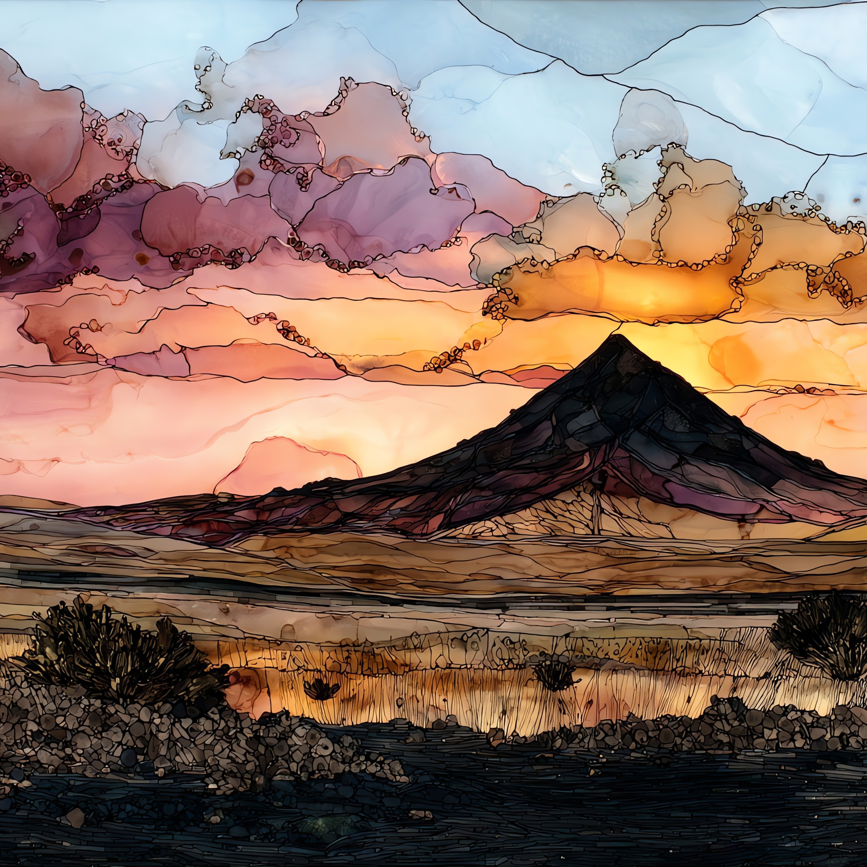
Amboy Crater
— — the shape a fire left in the desert.
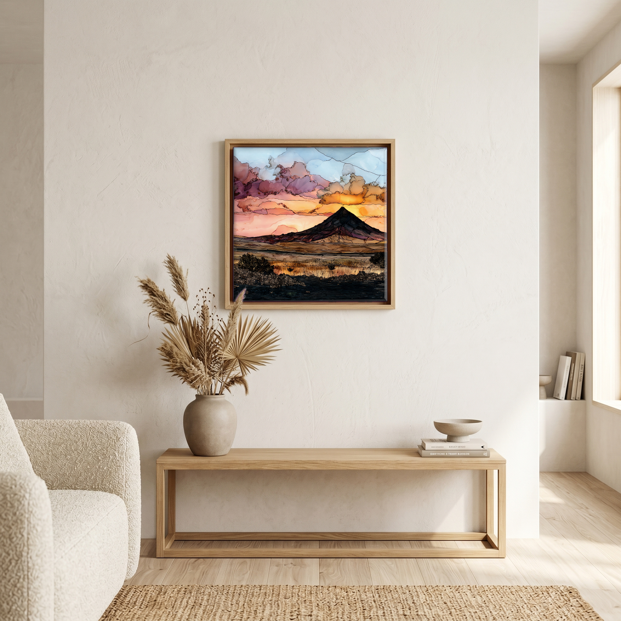
Not only on a wall.

“A cinder cone in the eastern Mojave, on old Route 66 between Ludlow and Needles. The lava field around it runs black for miles, glassy where it hasn't crumbled, and the cone rises out of it the colour of wet ash, breached on one side where the last flow came through. A three-mile loop crosses the field to the rim. Best walked in winter; summer here runs past 110°F. Up the road, the Roy's Motel sign is still standing, hand-painted, leaning a little. Nobody hurries through this stretch of Route 66.
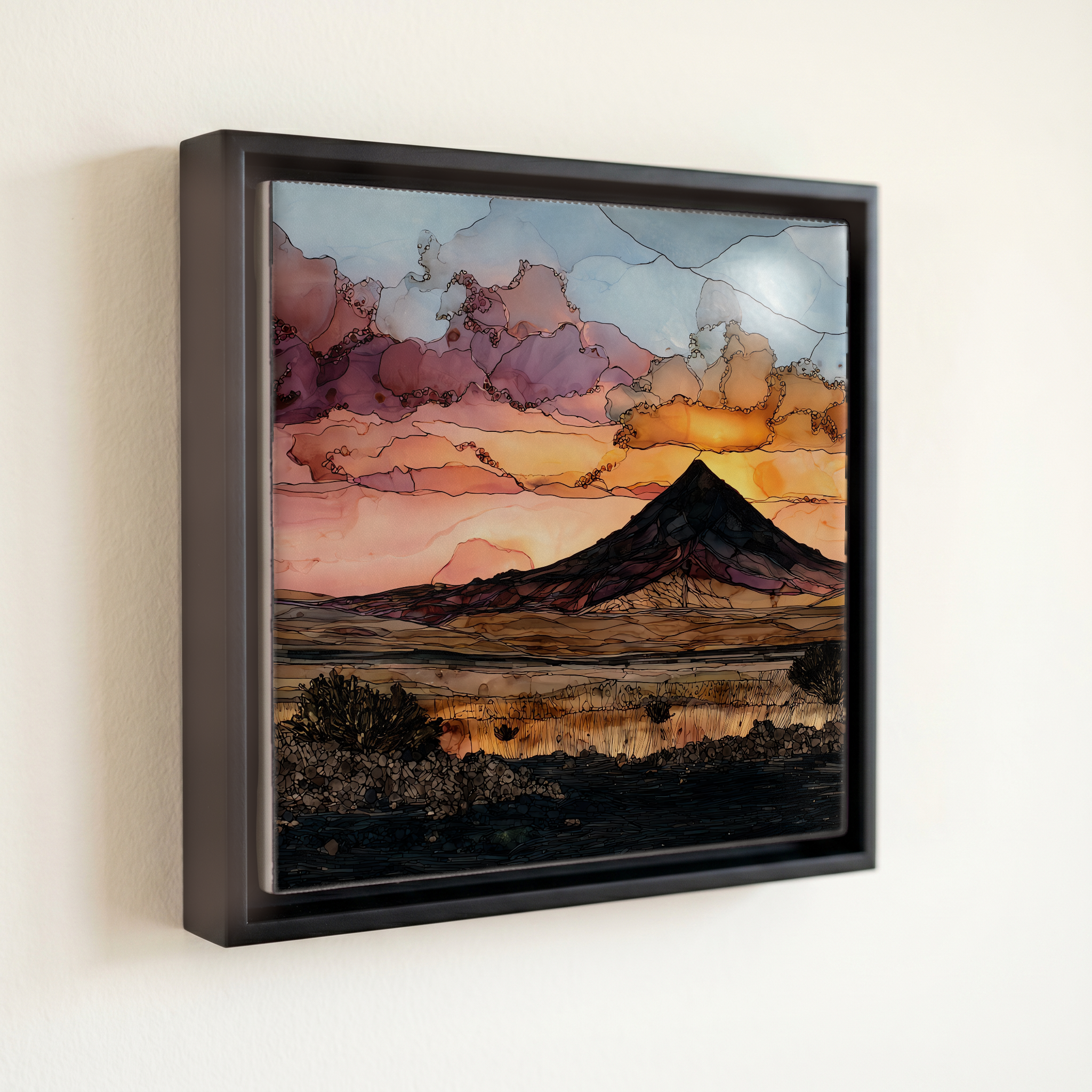
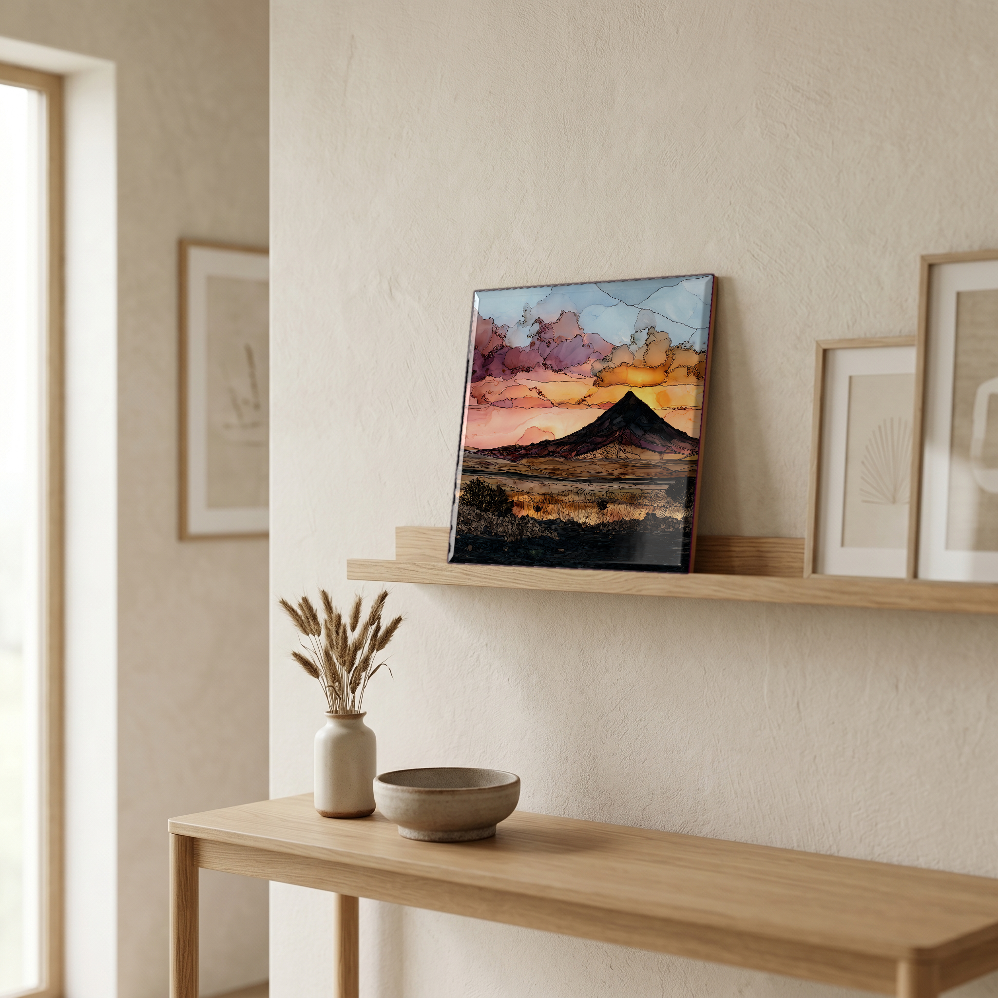
Amboy Crater, on ceramic.
Each tile is finished by hand in our Knoxville studio. Artwork is slowly infused into the ceramic surface under high heat and pressure, and rests beneath a thin glossy finish. The colour lives in the surface, not on top of it.
Pick any four 4-inch tiles — National Parks you've been to, a Smokies set, the four seasons of one place. $ for a set of , cork-backed, ready to live on the table.
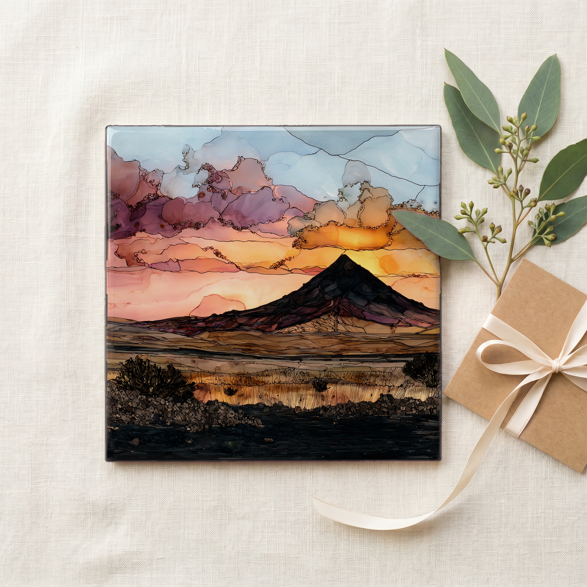
Each tile ships in a kraft box, tied with cream ribbon, with a handwritten note from the studio if you'd like to add one.

Three or five different vistas, hung together — a chapter of places you've been, or want to go.
The place, in three passes.
Amboy Crater is a cinder cone in the eastern Mojave Desert, in San Bernardino County, California, roughly 70 miles east of Barstow along the surviving stretch of Route 66 between Ludlow and Needles. The cone sits in a basalt lava field that spreads across the floor of Bristol Trough, bounded by Bristol Dry Lake to the south and the Bullion and Marble mountains to the north. The Bureau of Land Management administers the site, which the National Park Service designated a National Natural Landmark in 1973 as one of the youngest and most symmetrical cinder cones in the United States. The trailhead is a small graded lot off the National Trails Highway, the formal name of this stretch of Route 66; the nearest fuel and water are at Ludlow, about 30 miles west, or at Roy's Motel and Café in Amboy itself.
The cone rises about 250 feet above the surrounding desert floor and tops out near 944 feet of elevation at the rim. Its slopes are built from scoria: dark, gas-bubbled basalt that erupted in airborne fragments and piled up around the vent. The lava field beneath it carries both pāhoehoe, the smooth ropy surface, and ʻaʻā, the broken rubble surface, named with Hawaiian terms because basaltic flows look the same in California as they do on Kīlauea. Argon-isotope dating published in the 2010s placed the most recent eruption at roughly 79,000 years ago, considerably younger than earlier estimates that ranged from 6,000 to 100,000. The cone's west rim is breached where the last flow surged out across the basin.
The summit loop is about 3 miles round trip on a maintained dirt path, with roughly 250 feet of climb to the rim. The Bureau of Land Management recommends walking it between November and March; summer temperatures here run past 110°F and there is no shade and no water along the route. From the parking area the trail crosses open lava field for a little over a mile, climbs the cone's western flank through the breach in the rim, and then circles the inner crater. There is no entrance fee and no permit. The trailhead has vault toilets and an interpretive panel. Cell signal across the lava field is intermittent at best, so visitors should arrive prepared.