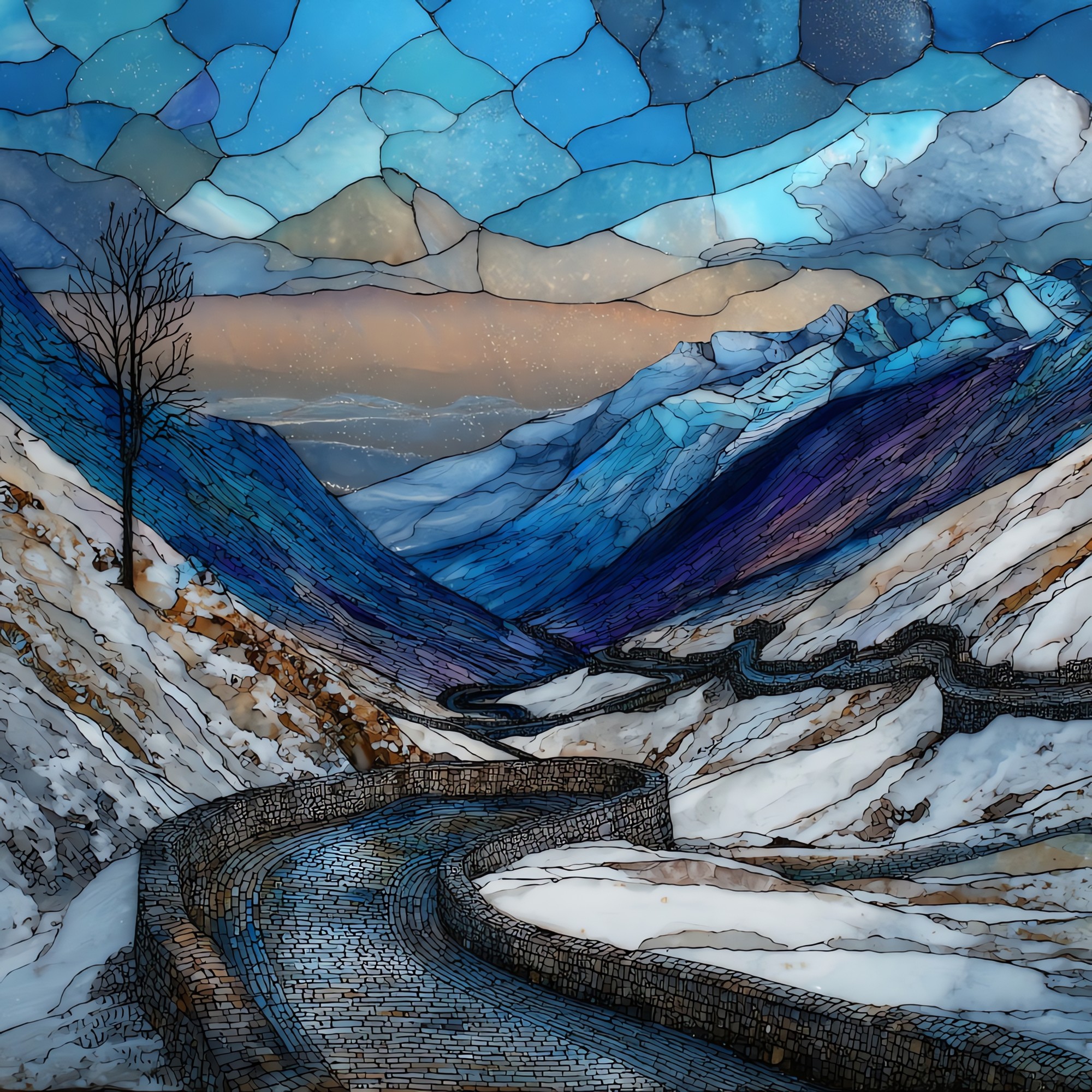
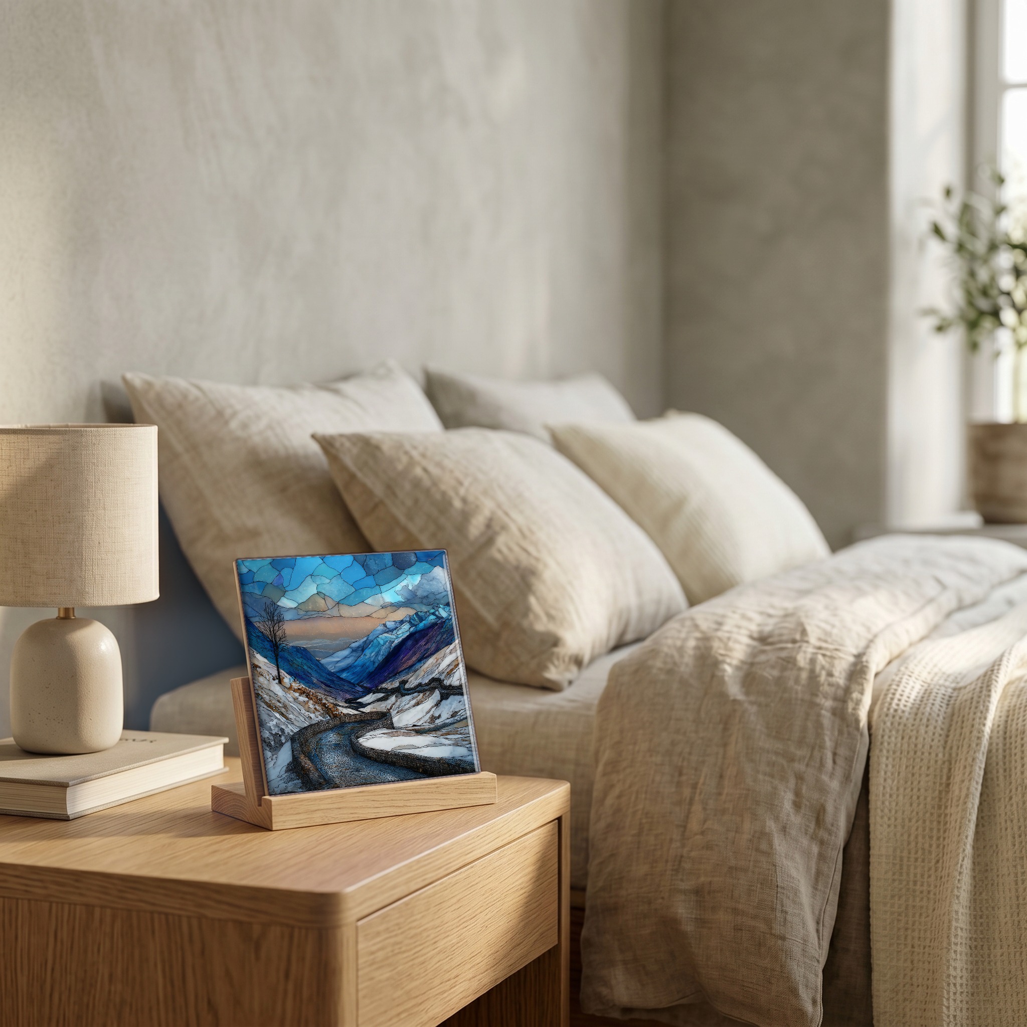
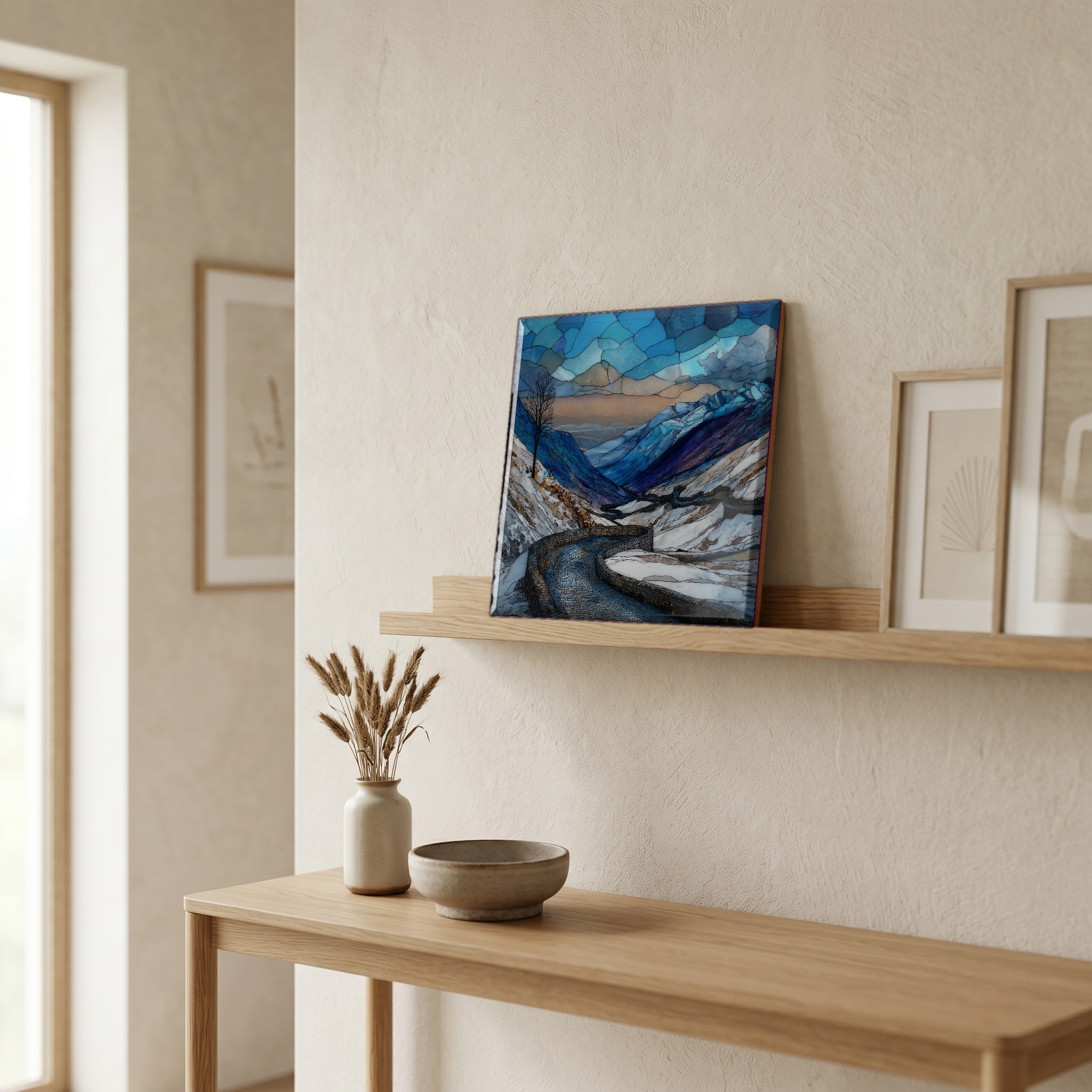
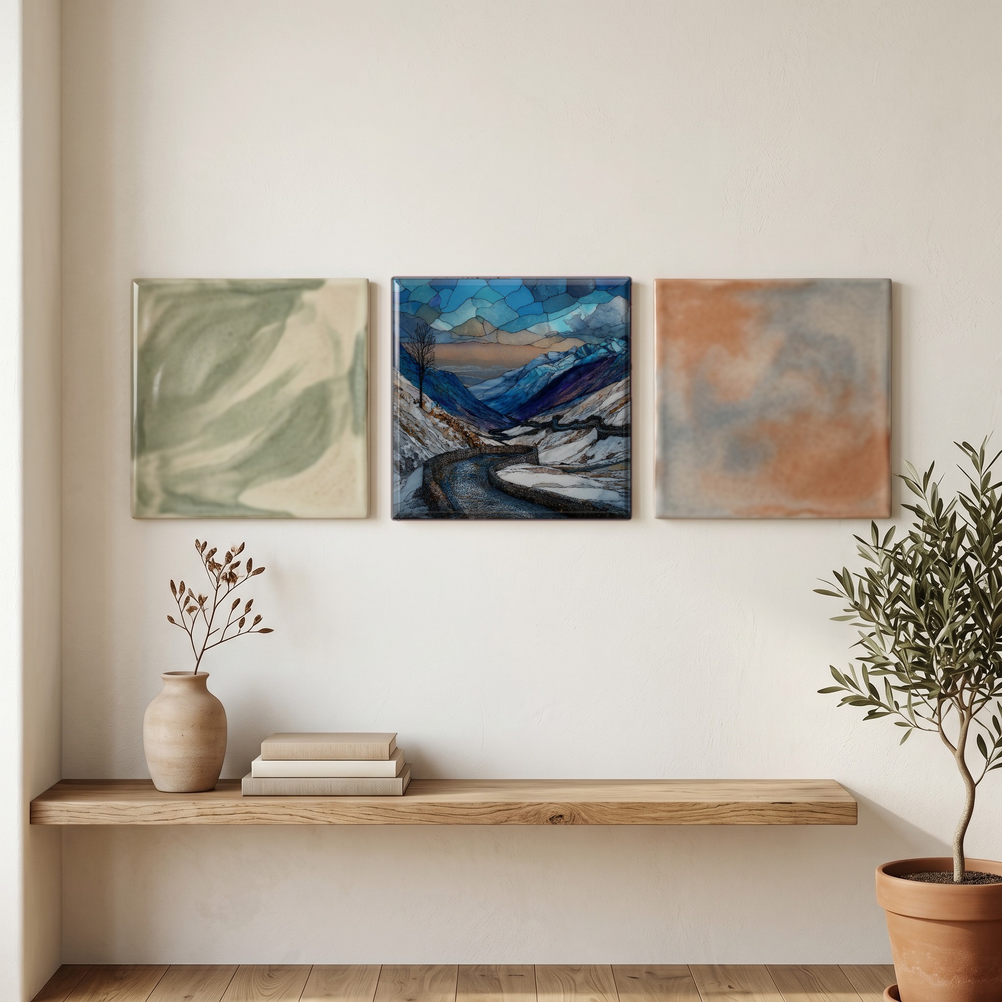
Stelvio Pass Winter
— — the road the snow takes back.
Not only on a wall.
“Forty-eight numbered hairpins climb from Prato allo Stelvio to a pass at 2,757 metres. From late October until early June the road is closed, the markers buried, the alpine huts shuttered. The summit becomes the territory of ski mountaineers and the wind. Ortler stands above it, the highest peak in the Eastern Alps, and the silence in this part of the valley is the kind that makes the eye work harder. Top Gear once called it the greatest driving road in the world. In winter it is the greatest road that doesn't exist.
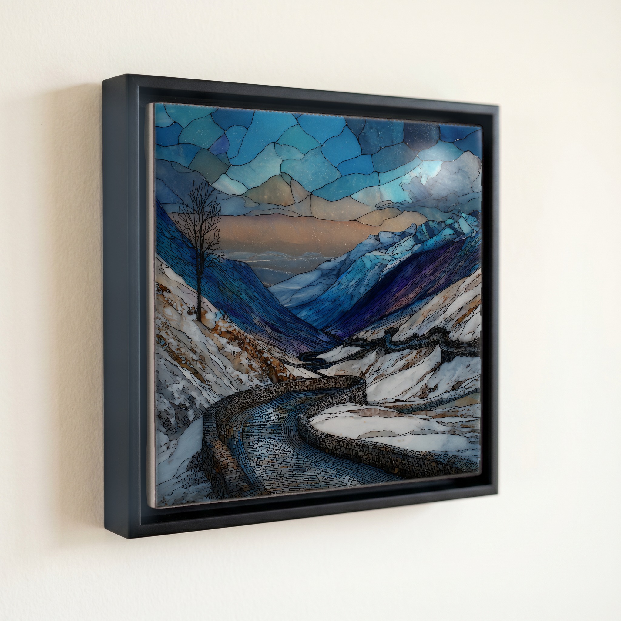
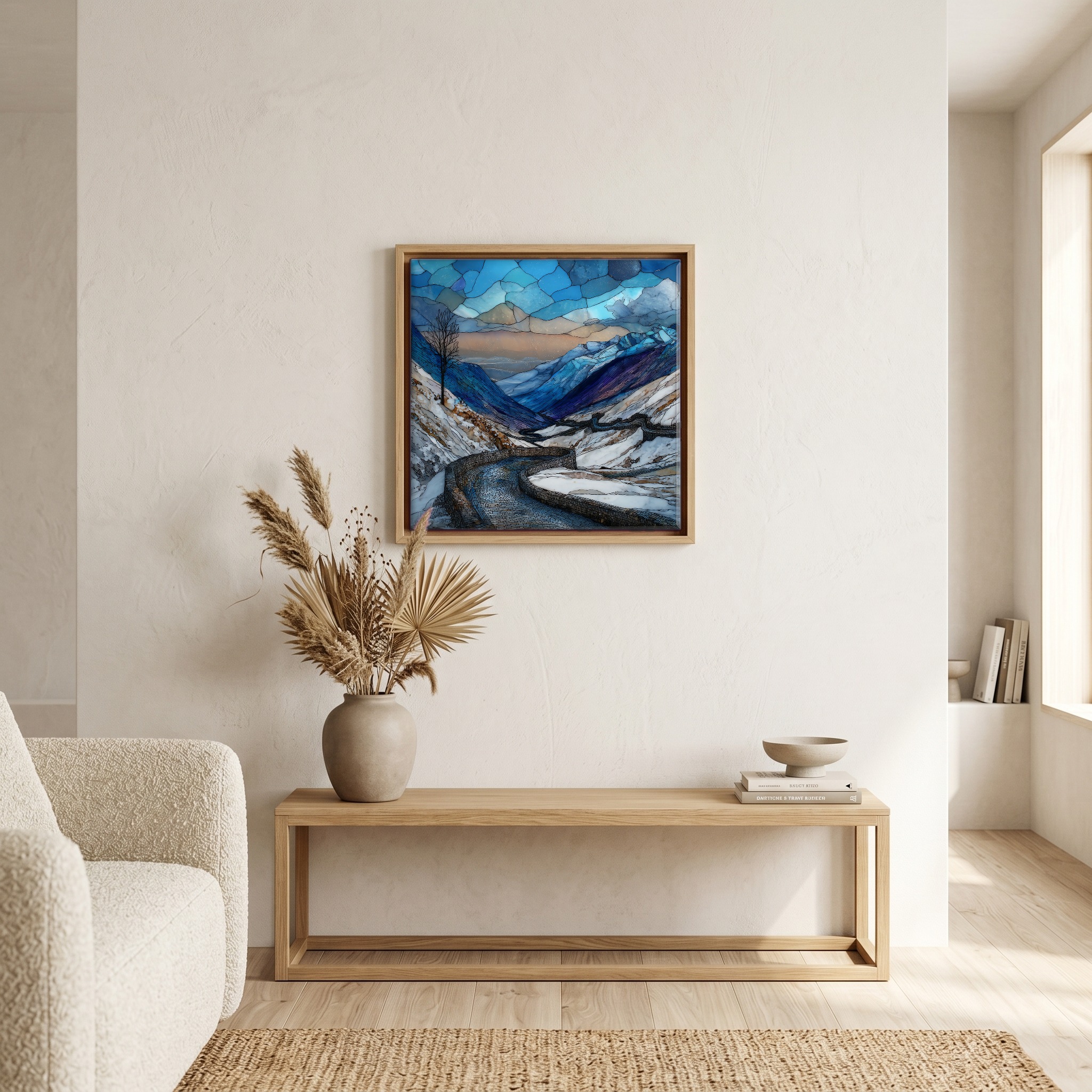
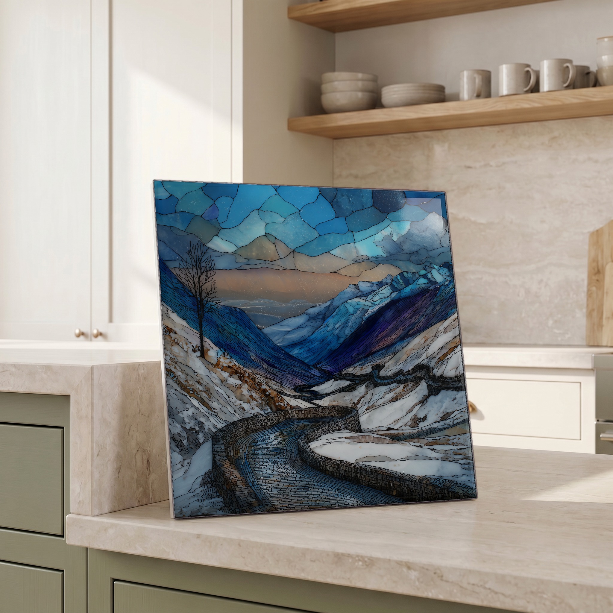
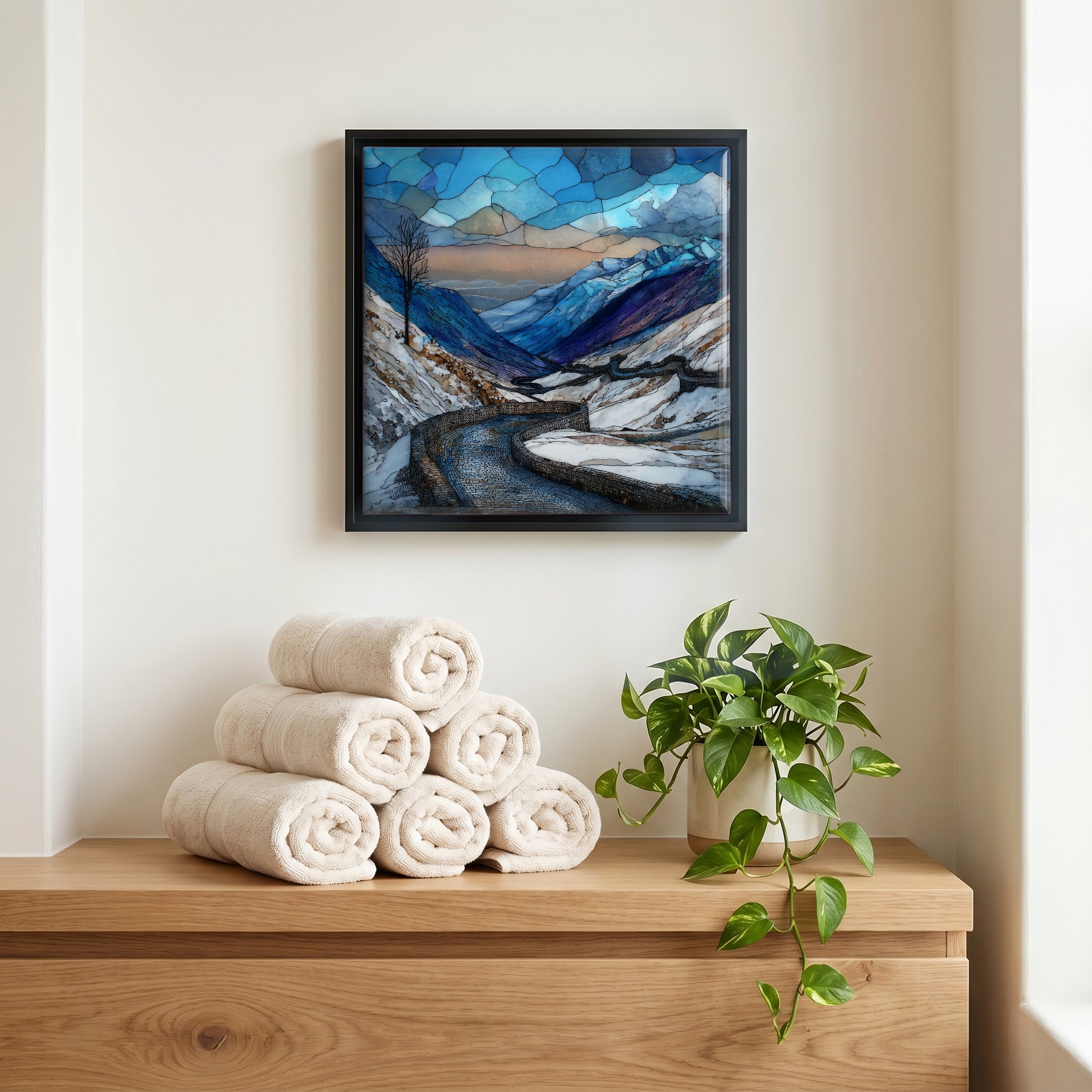
Stelvio Pass Winter, on ceramic.
Each tile is finished by hand in our Knoxville studio. Artwork is slowly infused into the ceramic surface under high heat and pressure, and rests beneath a thin glossy finish. The colour lives in the surface, not on top of it.
Pick any four 4-inch tiles — National Parks you've been to, a Smokies set, the four seasons of one place. $ for a set of , cork-backed, ready to live on the table.
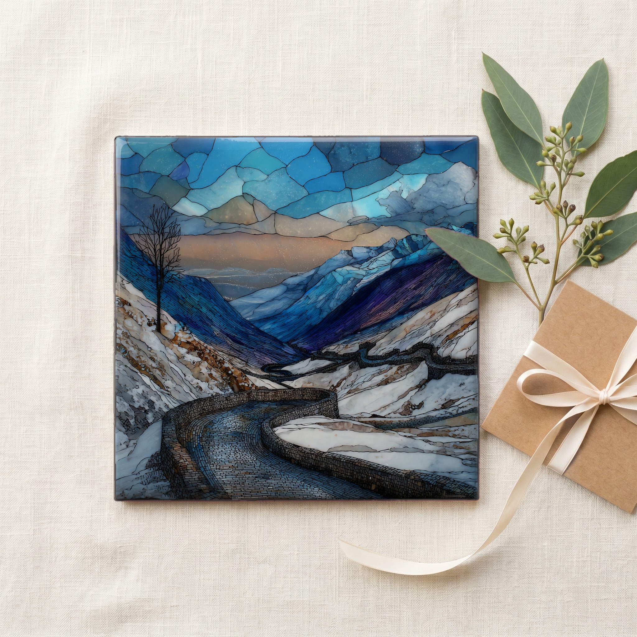
Each tile ships in a kraft box, tied with cream ribbon, with a handwritten note from the studio if you'd like to add one.
Three or five different vistas, hung together — a chapter of places you've been, or want to go.
The place, in three passes.
Stelvio Pass (Passo dello Stelvio in Italian, Stilfserjoch in German) crosses the Eastern Alps at 2,757 metres, the second-highest paved pass in the Alps after the Col de l'Iseran in France. The road links Bormio in Lombardy with Prato allo Stelvio in South Tyrol, climbing 48 numbered hairpins on the northern side. Italian engineer Carlo Donegani designed it for the Austrian Empire between 1820 and 1825, and by length and reputation it remains one of the most demanding mountain roads in Europe. The pass sits inside Stelvio National Park (Parco Nazionale dello Stelvio), established April 1935, which protects over 1,300 square kilometres of high-alpine terrain across Lombardy and Trentino-Alto Adige.
The road's signature is its stonework. Italian engineer Carlo Donegani laid out 48 numbered hairpins on the northern climb from Prato allo Stelvio, each switchback marked at the apex by a small stone bearing its number, the markers ski tourers still use as waypoints once the asphalt disappears. The route opened in 1825 and rises roughly 1,800 metres from Prato to the pass over about 24 kilometres of road. It was built by the Austrian Empire to link Lombardy with Tyrol after the Congress of Vienna and has been widened and re-engineered through every century since. In winter the markers go under snow and only their numbers come back when the plows arrive in late spring.
In winter the Stelvio road is closed. The state highway SS38 over the pass typically shuts in late October and reopens in late May or early June, depending on snowpack and the avalanche cycle. For roughly seven months a year the summit at 2,757 metres belongs to ski mountaineers, to avalanche crews, and to the wind off the Ortler massif. The Albergo Folgore and the small hotels at the saddle are shuttered. Approach roads on both the Bormio and Trafoi sides terminate at gates well below the pass. Snow cover at the saddle routinely runs over two metres deep through the closure, and the 48 numbered hairpin markers vanish under it for most of the winter.