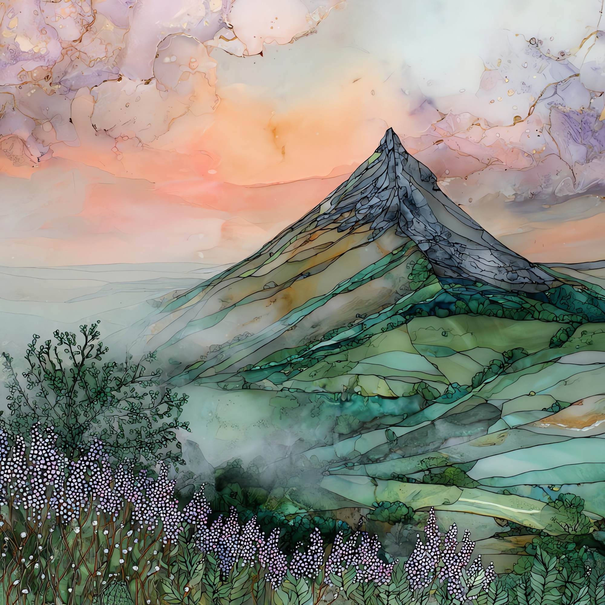
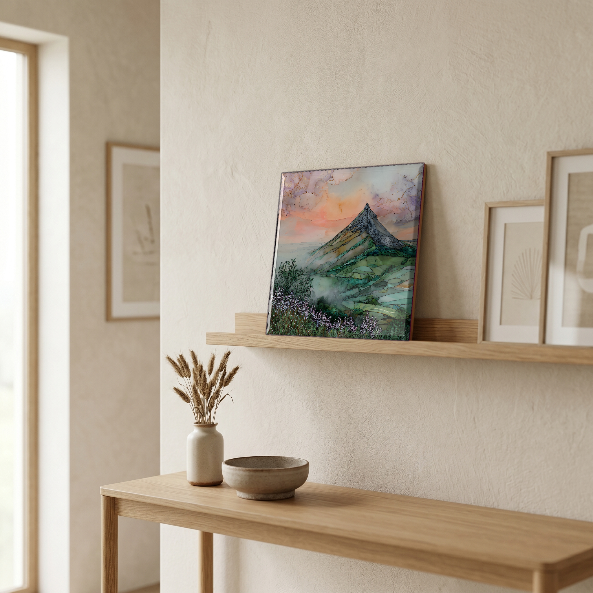
Great Sugar Loaf
— — a cone of quartzite the ice age sharpened.
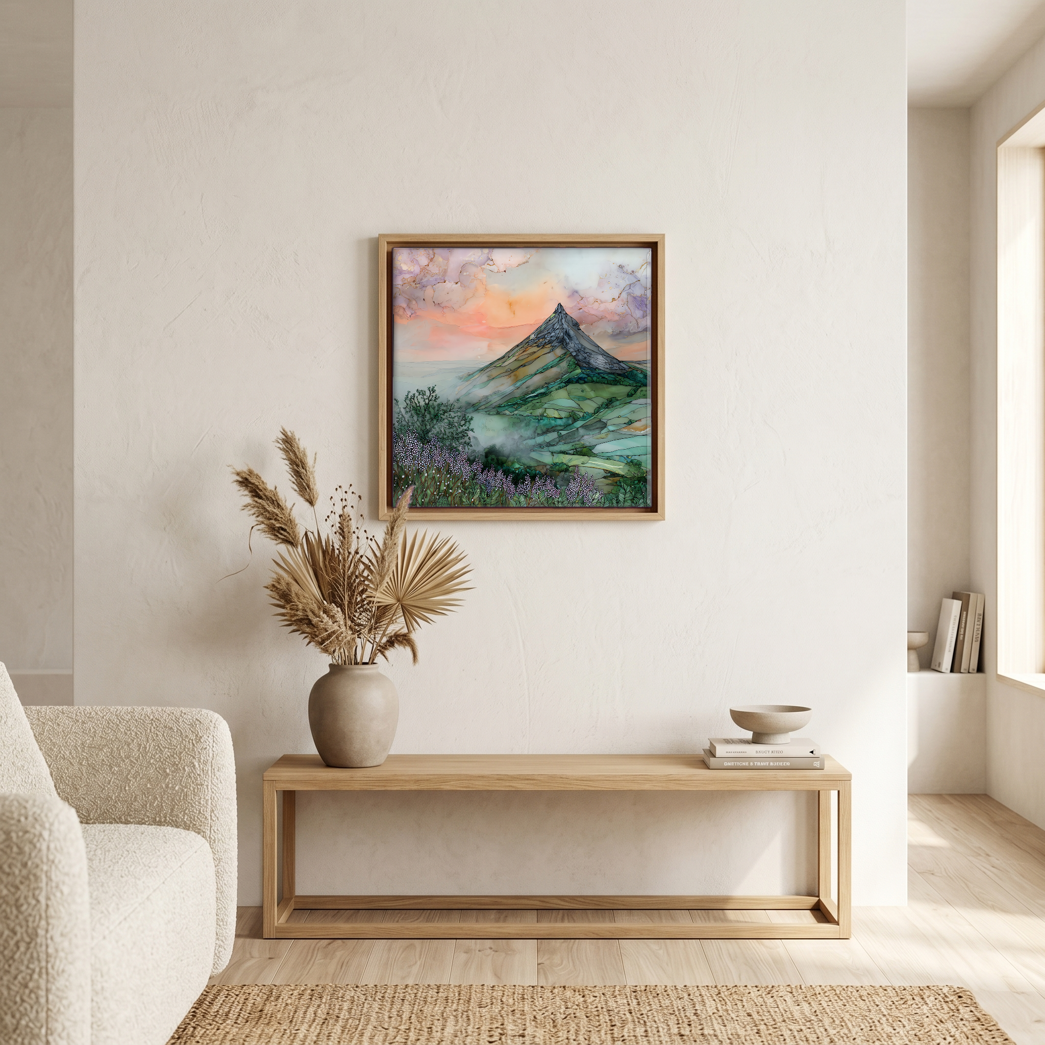
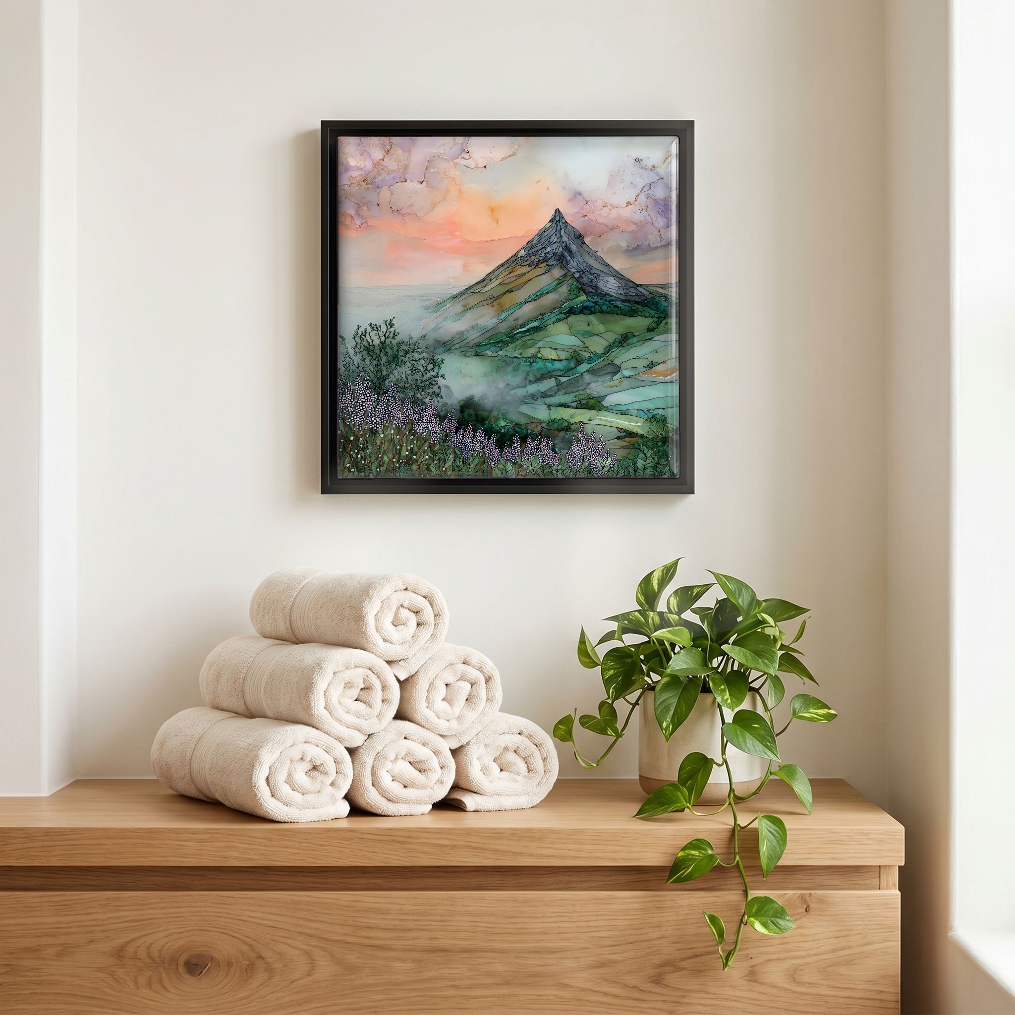
Not only on a wall.
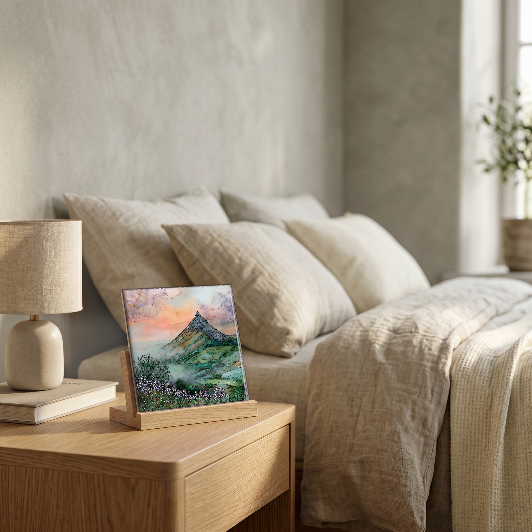
“The conical peak rising about 500 metres above the Wicklow coast, half an hour south of Dublin. From a distance the shape looks volcanic. The rock is Cambrian quartzite, older than almost everything around it, and harder than the slate that has worn away from its sides. The trail up from the col is short and steep, an hour each way, more scramble than walk at the top. From the summit, the Irish Sea on one side and the Wicklow Mountains on the other.
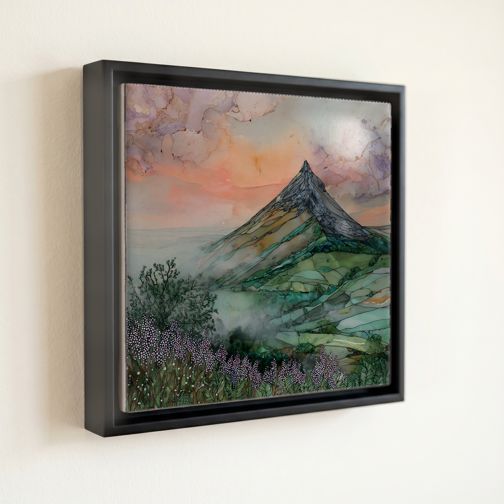
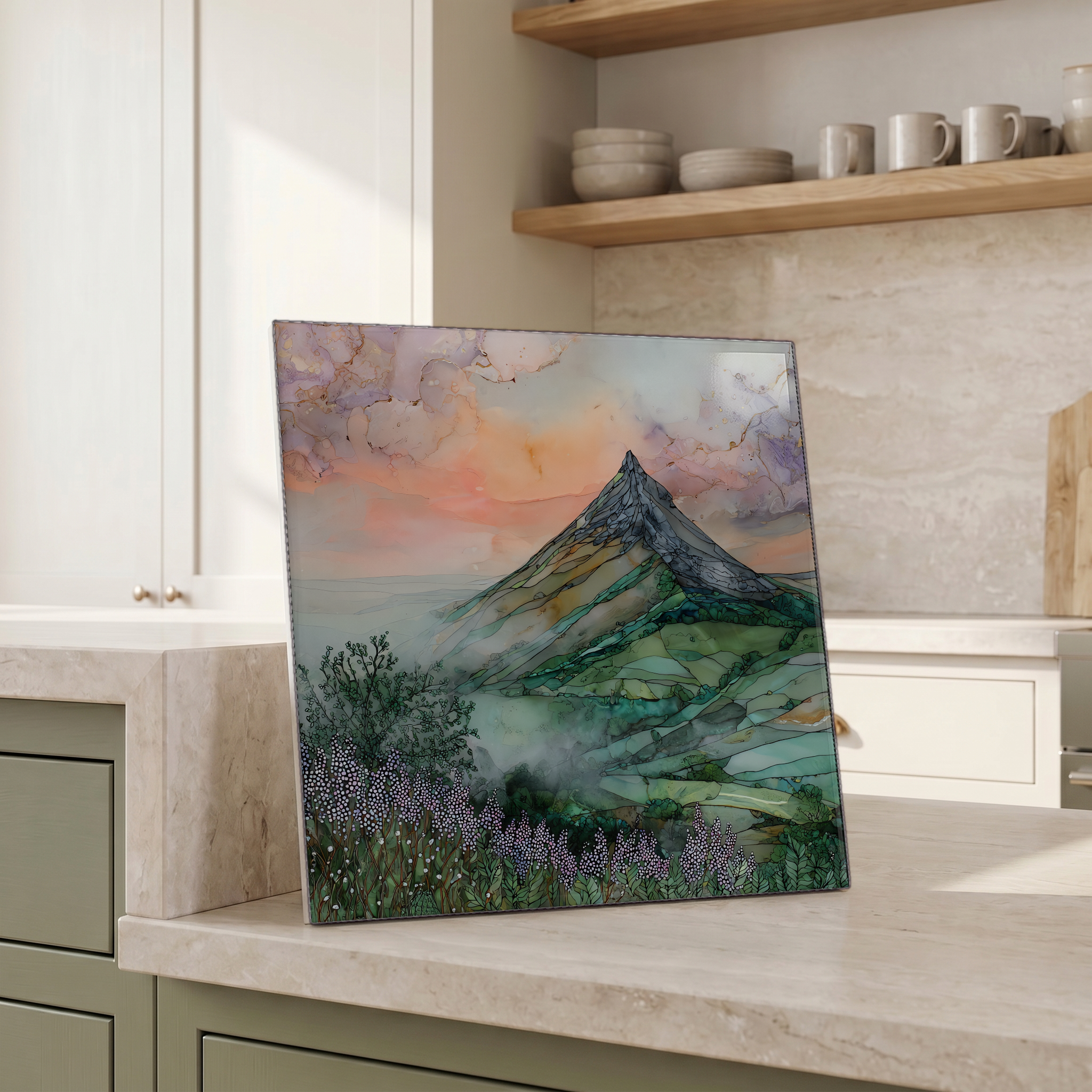
Great Sugar Loaf, on ceramic.
Each tile is finished by hand in our Knoxville studio. Artwork is slowly infused into the ceramic surface under high heat and pressure, and rests beneath a thin glossy finish. The colour lives in the surface, not on top of it.
Pick any four 4-inch tiles — National Parks you've been to, a Smokies set, the four seasons of one place. $ for a set of , cork-backed, ready to live on the table.
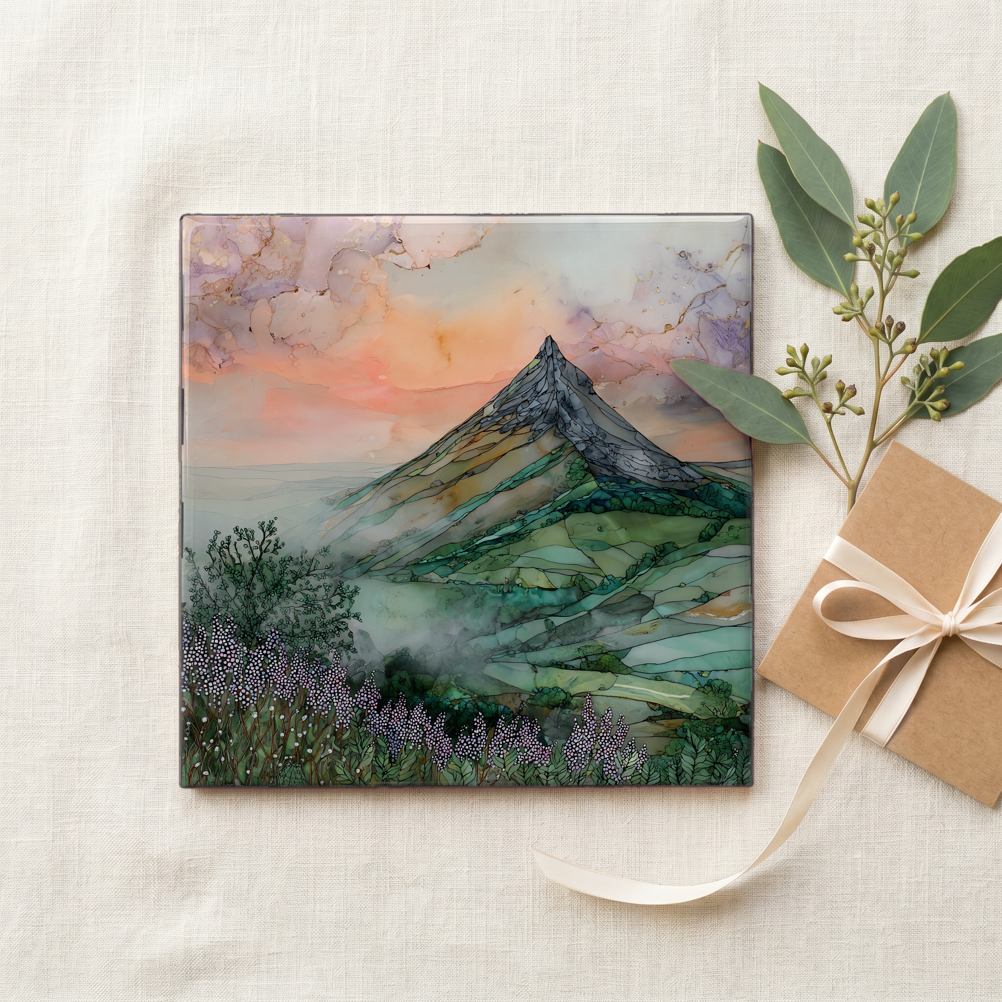
Each tile ships in a kraft box, tied with cream ribbon, with a handwritten note from the studio if you'd like to add one.

Three or five different vistas, hung together — a chapter of places you've been, or want to go.
The place, in three passes.
The Great Sugar Loaf rises to 501 metres (1,644 ft) above the eastern edge of County Wicklow, about 20 kilometres south of Dublin. Its near-perfect conical shape has led many to mistake it for a volcano, but the summit is Cambrian quartzite, hardened sandstone that resisted erosion while the softer surrounding rock wore away. The mountain stands just outside the boundary of Wicklow Mountains National Park, between the villages of Kilmacanogue and Calary. The standard route to the top starts from a roadside car park on the L1031, a short walk that turns into a hands-on scramble across loose scree near the summit.
What looks like a volcanic cone is actually Cambrian quartzite, formed roughly 500 million years ago from compressed sea-floor sandstone. The rock is far harder than the slate that once surrounded it, which is why the cone survives while the adjacent ridges have eroded down. The quartzite catches the light pale, almost white in certain weather, and the summit is bare of vegetation because the soil cannot hold on the steep upper slopes. The same quartzite forms the smaller Little Sugar Loaf to the north and outcrops along the Wicklow coast at Bray Head.
The standard walk begins at a small car park off the L1031 between Kilmacanogue and Calary, on the col separating the Great and Little Sugar Loaves. The trail to the summit is about 1.5 kilometres each way and gains roughly 250 metres of height. The final stretch turns to loose scree and asks for hands as much as feet. There is no fee and no ranger station; the mountain is on common land, with sheep grazing the lower slopes. The summit gives a wide view across Dublin Bay to the north and the Wicklow Mountains to the south.