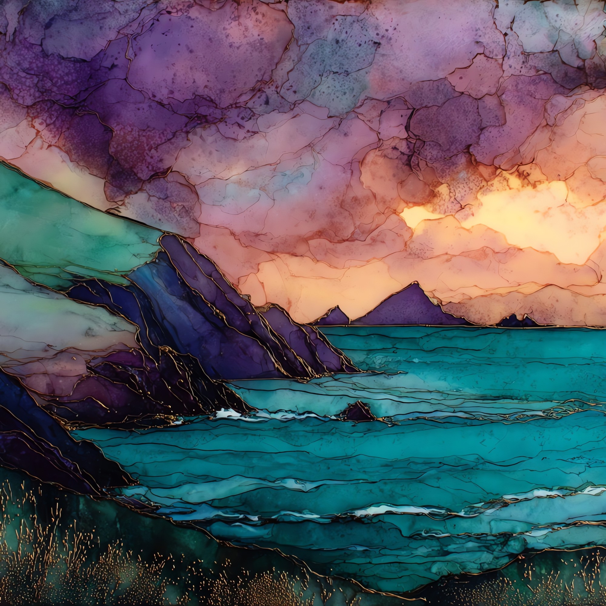
Slea Head
— — the last green before the sea.
Not only on a wall.


“The road comes down to the Atlantic on the R559, the last loop before the Blasket Islands. A small stone Crucifixion stands on the bluff at the corner, placed there in 1959 by a Dingle family and weather-darkened. Sheep wander the verge. From the head you can see Great Blasket sitting offshore in the haze, the village on it left to wind since 1953. Nobody hurries through here.
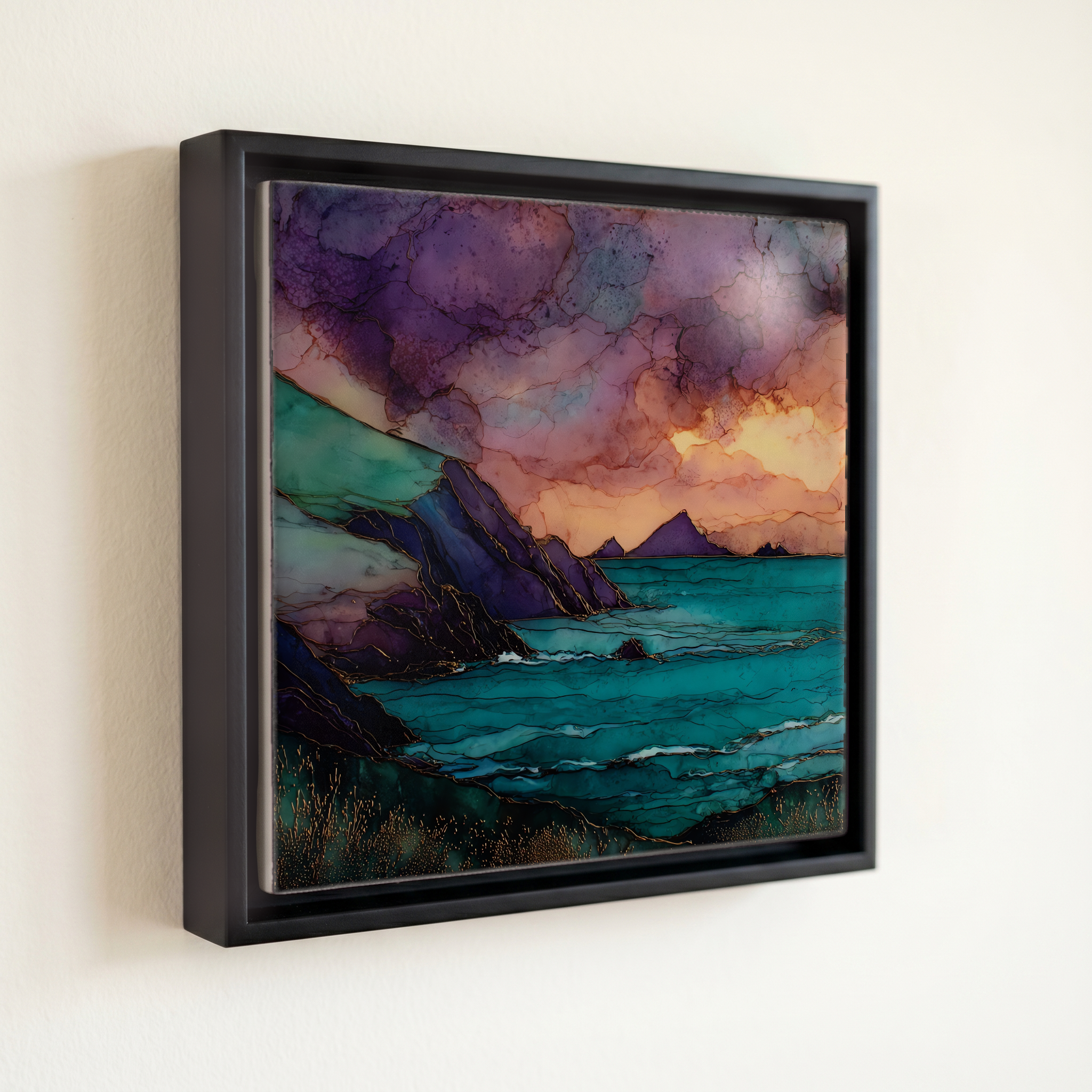
Slea Head, on ceramic.
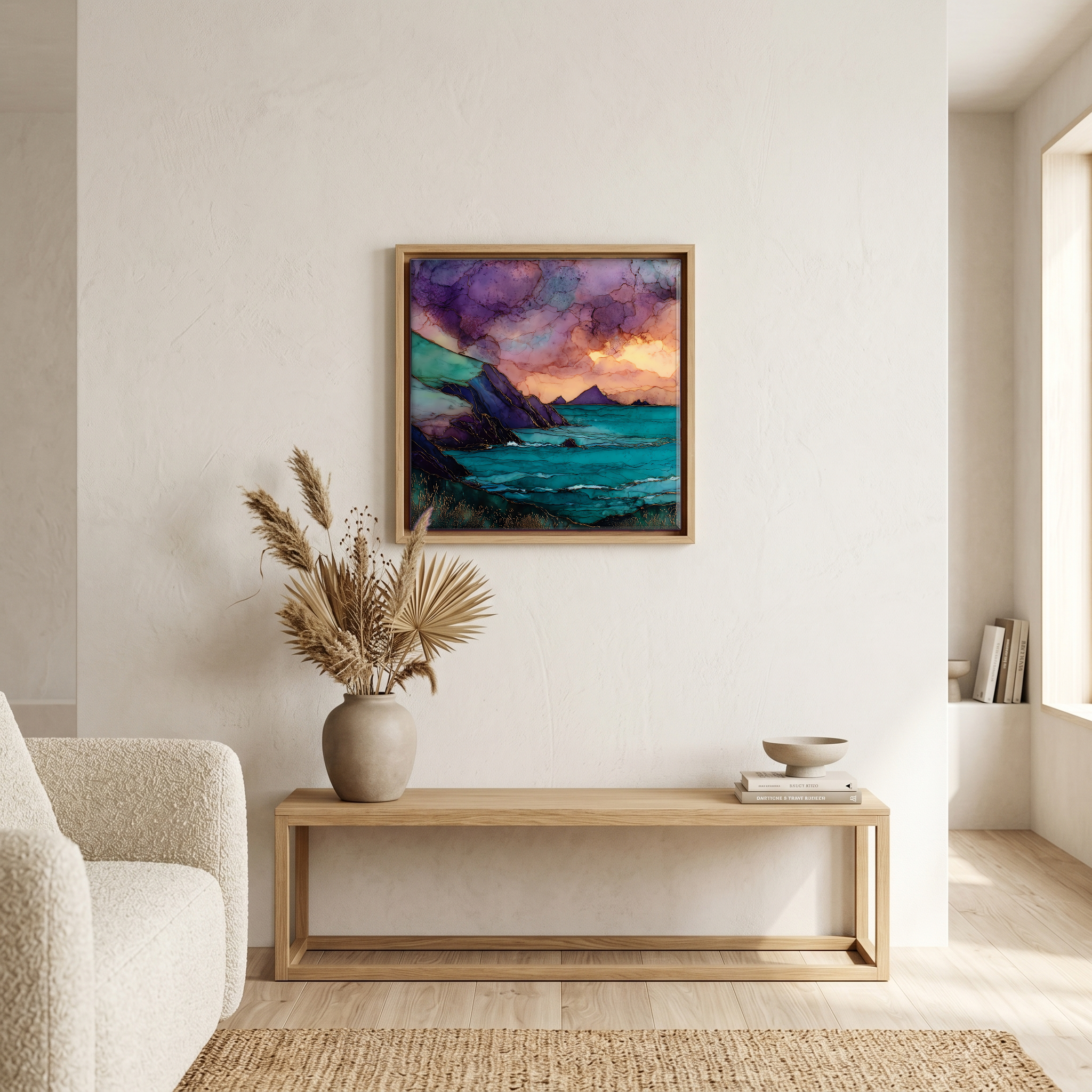
Each tile is finished by hand in our Knoxville studio. Artwork is slowly infused into the ceramic surface under high heat and pressure, and rests beneath a thin glossy finish. The colour lives in the surface, not on top of it.
Pick any four 4-inch tiles — National Parks you've been to, a Smokies set, the four seasons of one place. $ for a set of , cork-backed, ready to live on the table.
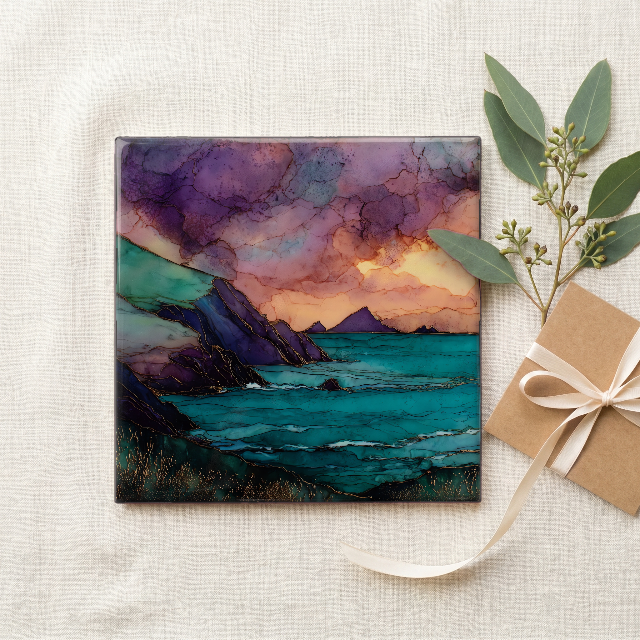
Each tile ships in a kraft box, tied with cream ribbon, with a handwritten note from the studio if you'd like to add one.
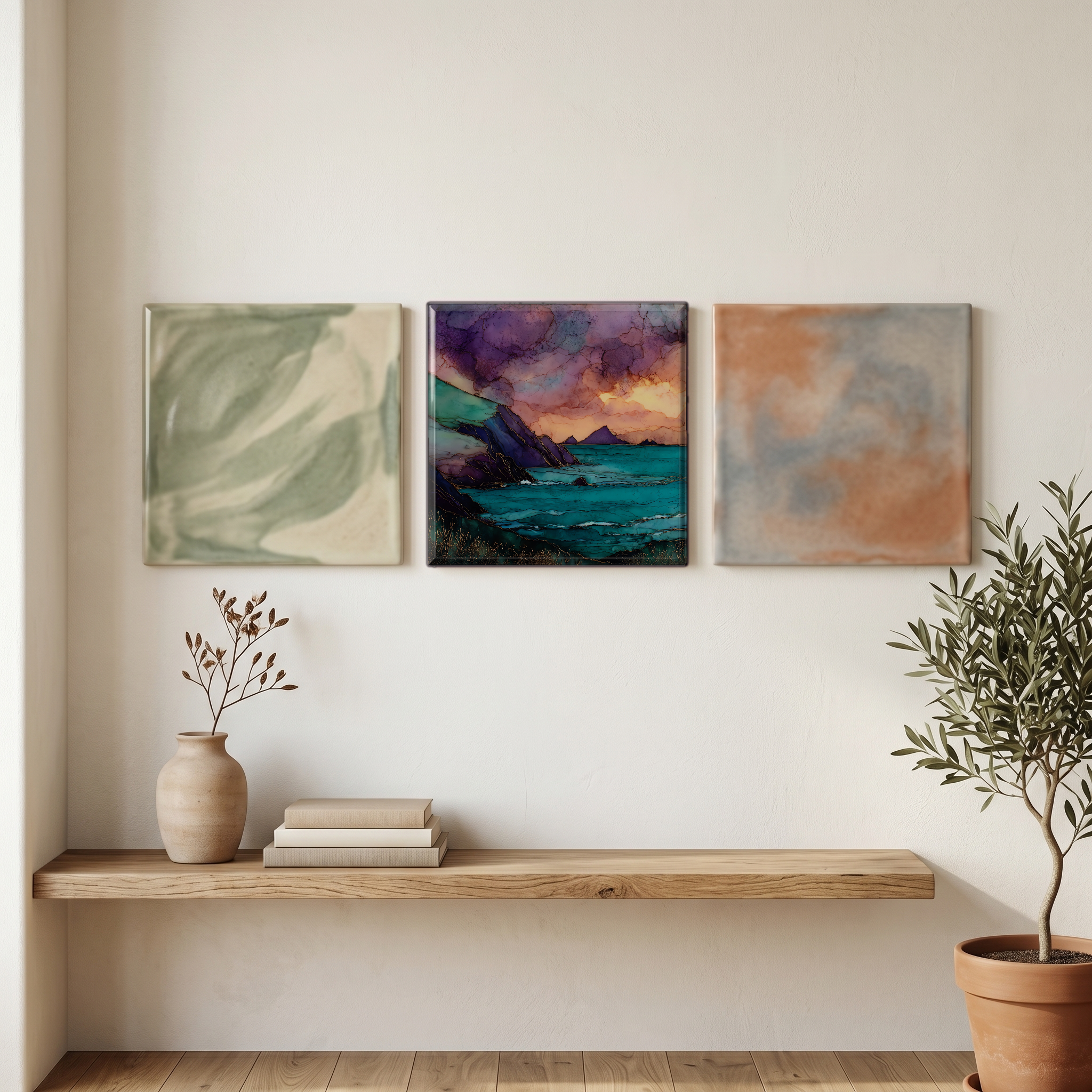
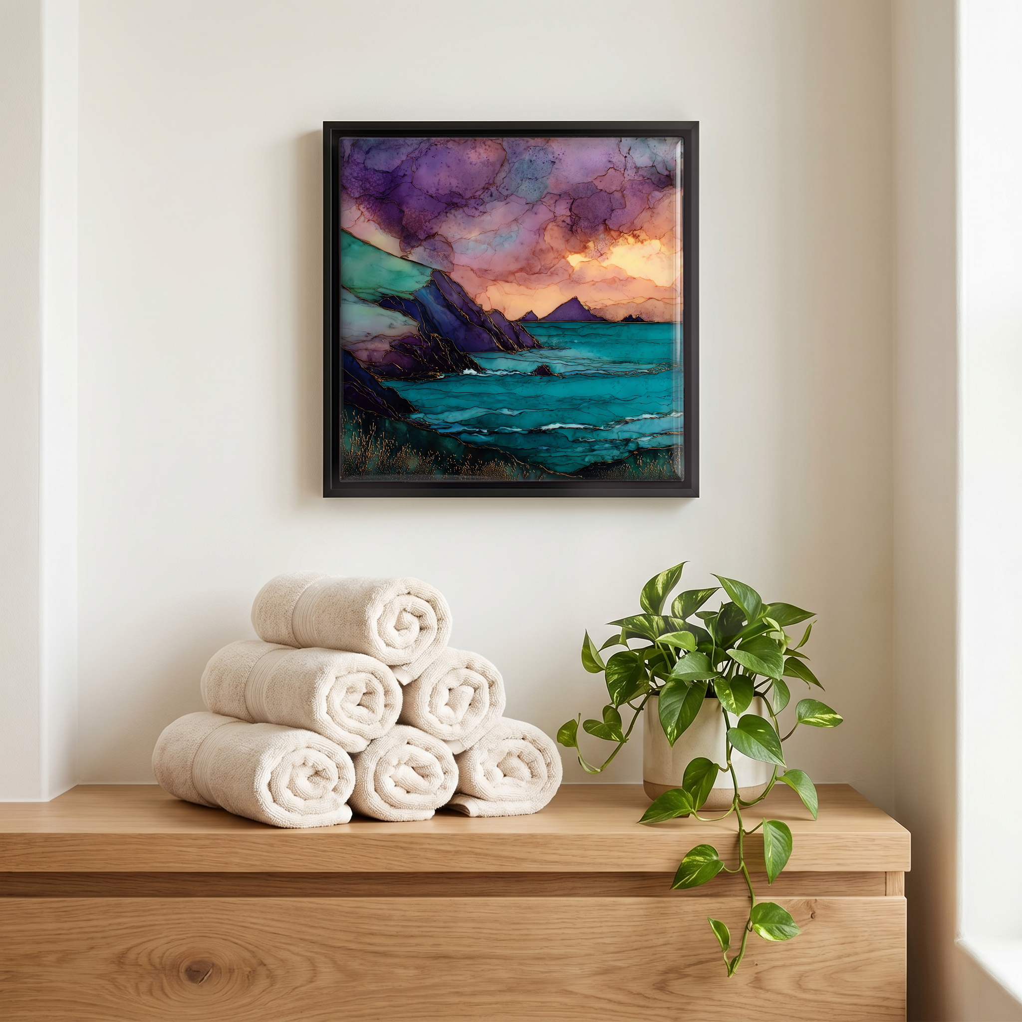
Three or five different vistas, hung together — a chapter of places you've been, or want to go.
The place, in three passes.
Slea Head (Ceann Sléibhe) is the southwestern point of the Dingle Peninsula in County Kerry, Ireland. The R559, the local road, swings around the head as part of the Slea Head Drive, a roughly 40 km loop from Dingle town (Daingean Uí Chúis). The land here drops into the Atlantic in steep slate cliffs facing the Blasket Islands (Na Blascaodaí). The peninsula sits within the Corca Dhuibhne Gaeltacht, one of Ireland's strongest Irish-speaking regions. Mount Brandon (Cnoc Bréanainn), at 952 m, anchors the spine of the peninsula behind. The Wild Atlantic Way, the 2,500 km signed coastal route, threads through.
The Dingle Peninsula around Slea Head carries one of the highest densities of early Christian and prehistoric monuments in Ireland. Within a few kilometres of the head sit the Fahan group of clocháns, drystone beehive huts that monks built without mortar, and Dunbeg Fort (Dún Beag), an Iron Age promontory fort that has stood on the cliff edge for centuries before storms began taking it apart. On the bluff above the road at the head itself stands a small stone Crucifixion erected in 1959 by a local Dingle family in memory of relatives. The Office of Public Works lists Dunbeg as a National Monument under guardianship.
The Slea Head Drive is signed clockwise from Dingle town on the R559, a single-lane road for most of the loop. Tourist guides suggest about half a day to drive it without rushing; the full circuit is roughly 40 km and takes longer in summer when tour coaches use it. Stops along the way include Dunbeg Fort, the Fahan beehive huts, Coumeenoole Beach below Dunmore Head, and the small Famine Cottages. The road is exposed and weather changes quickly off the Atlantic; local signage advises caution on the steep descents at the western end. Late spring through early autumn brings the long evenings the head is known for; winter storms can close stretches.