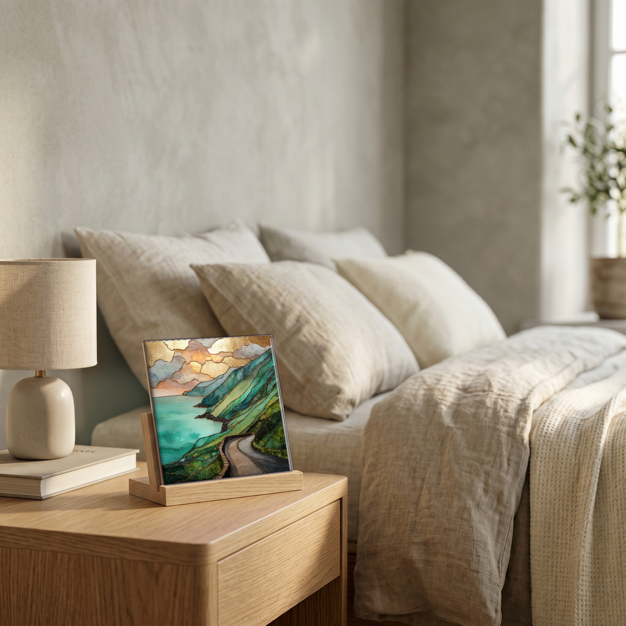
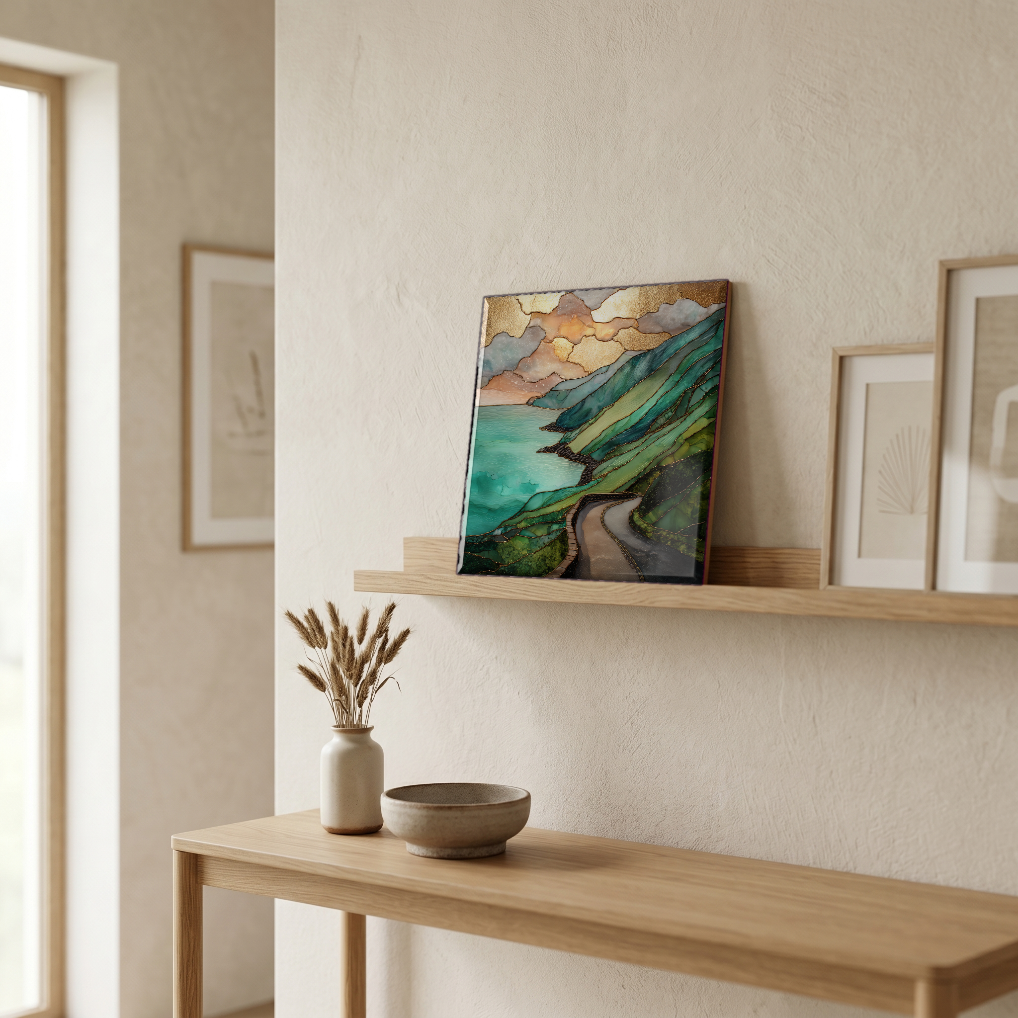
Ring of Kerry
— — the green the rain keeps.
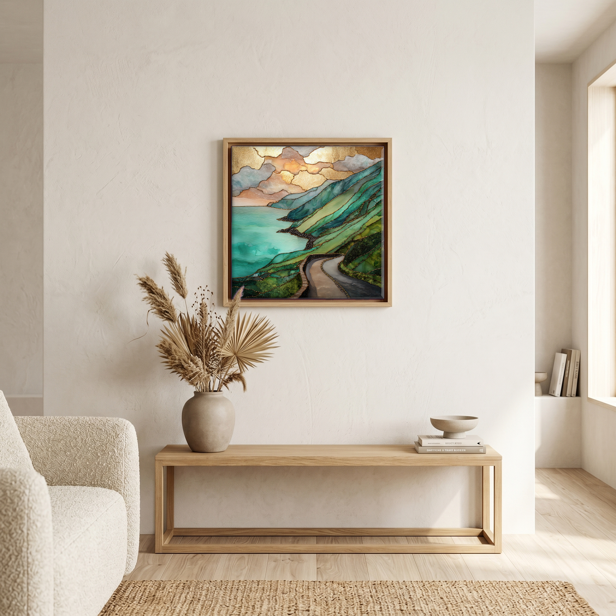
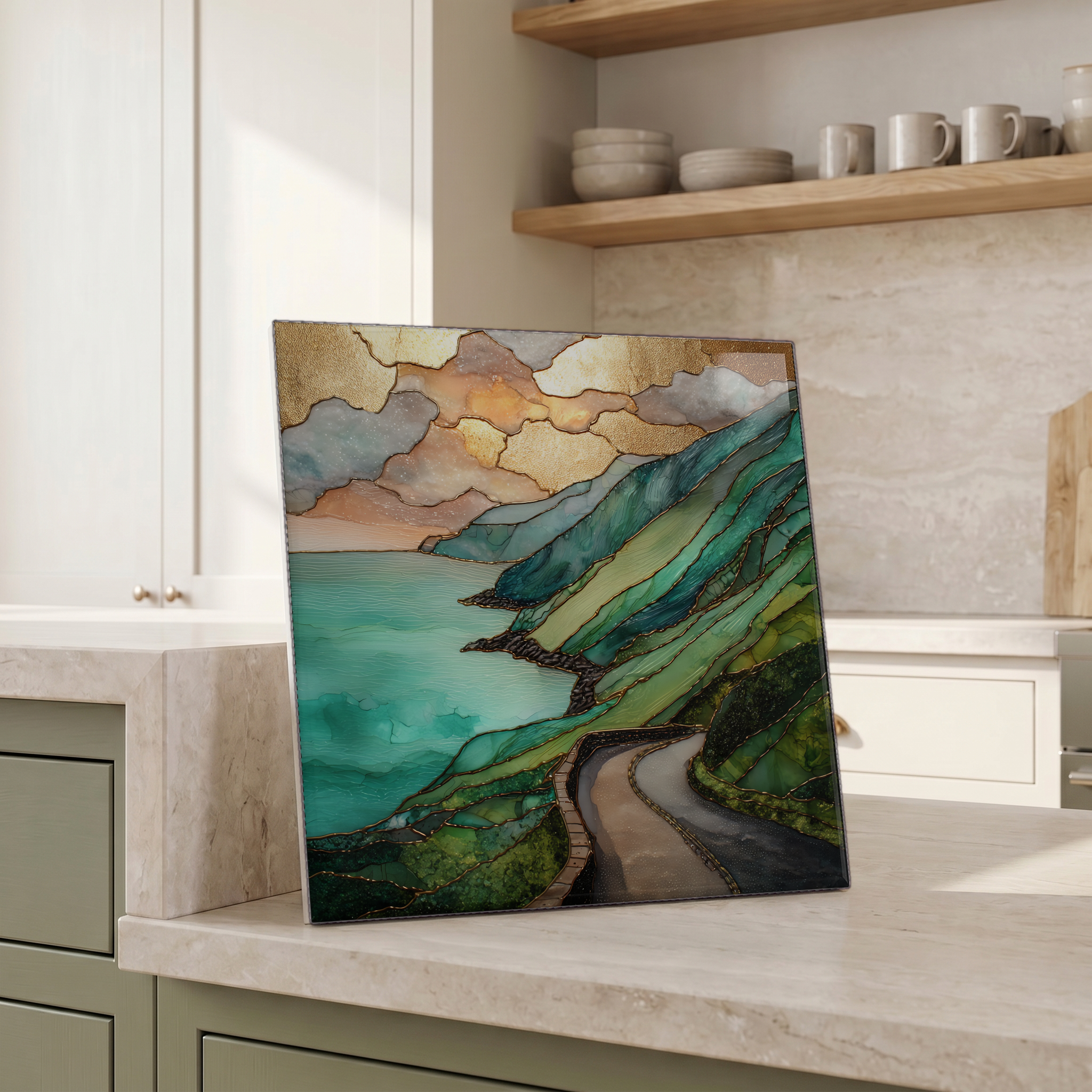
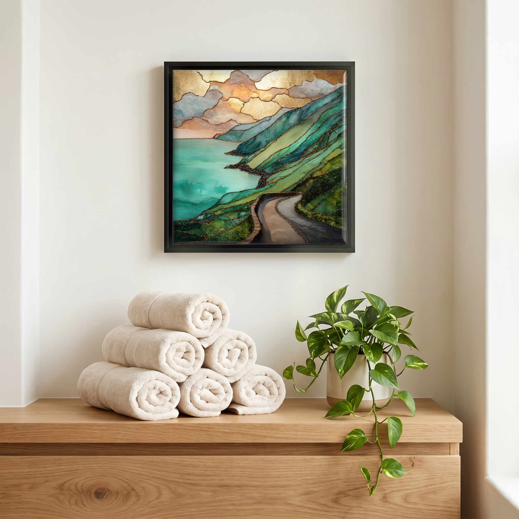
Not only on a wall.
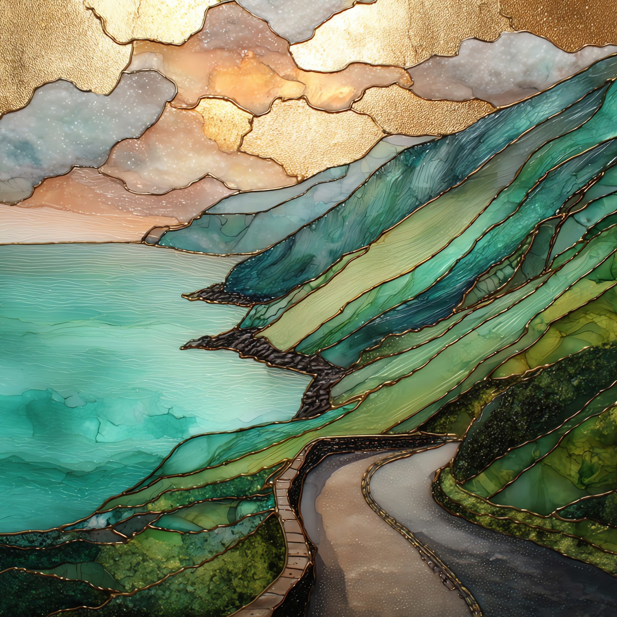
“A 179-kilometre loop on the N70 around the Iveragh Peninsula. Atlantic on one side, MacGillycuddy's Reeks on the other. Carrauntoohil rises to 1,038 metres, the highest peak in Ireland. Coaches take the loop counter-clockwise so cars going the other way can pass on the narrow stretches, which leaves the southern arc between Sneem and Kenmare mostly empty in the afternoon. The Skellig Islands sit twelve kilometres offshore. People come for the long view; they remember the green.
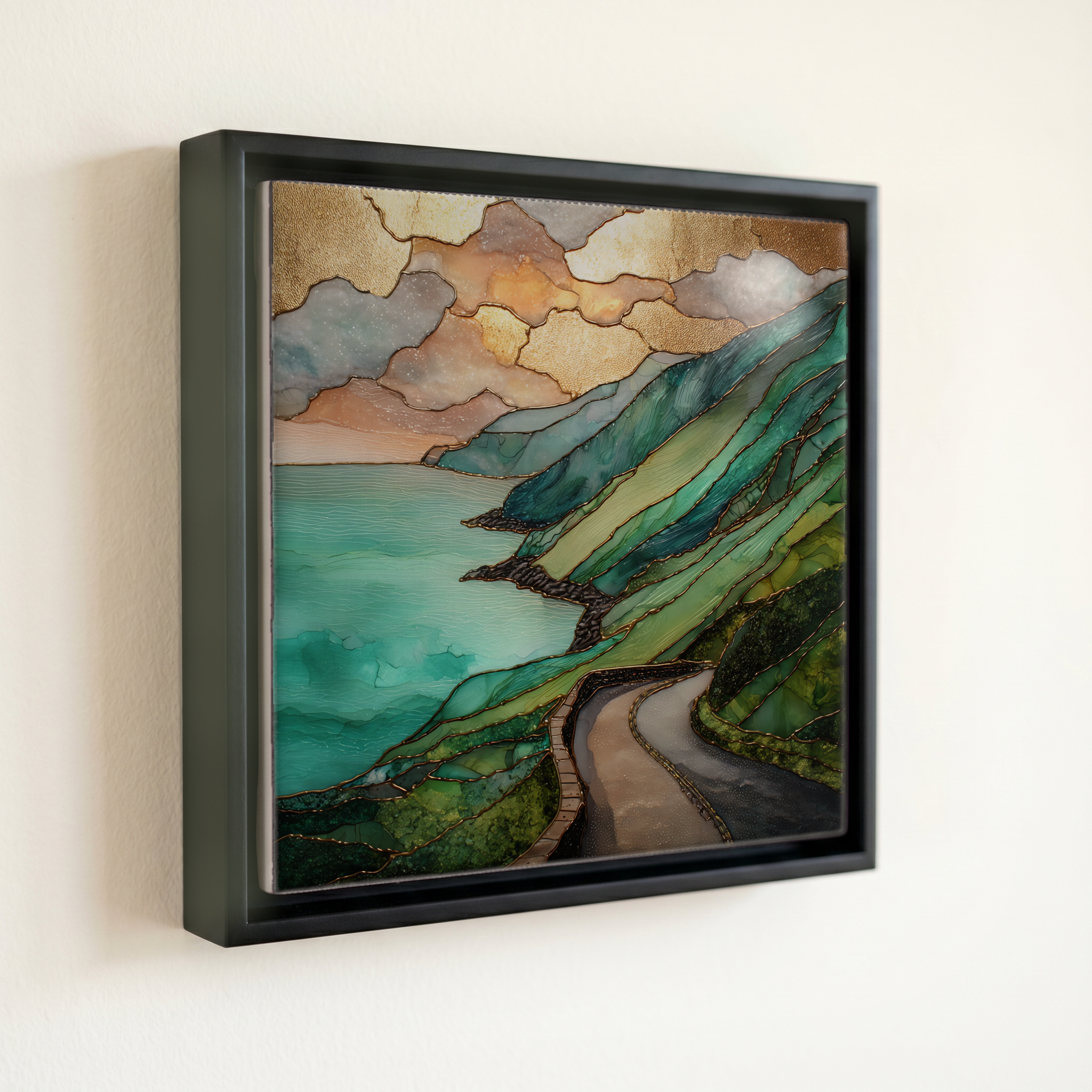
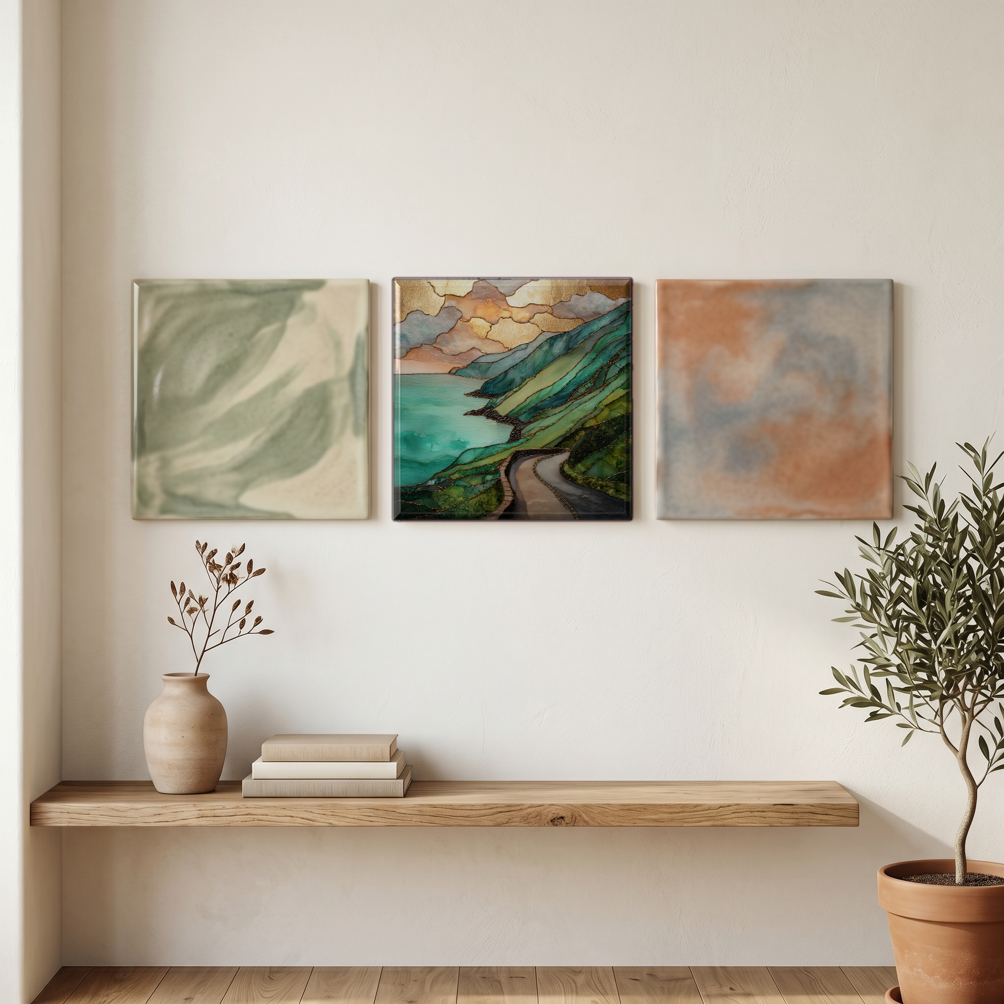
Ring of Kerry, on ceramic.
Each tile is finished by hand in our Knoxville studio. Artwork is slowly infused into the ceramic surface under high heat and pressure, and rests beneath a thin glossy finish. The colour lives in the surface, not on top of it.
Pick any four 4-inch tiles — National Parks you've been to, a Smokies set, the four seasons of one place. $ for a set of , cork-backed, ready to live on the table.
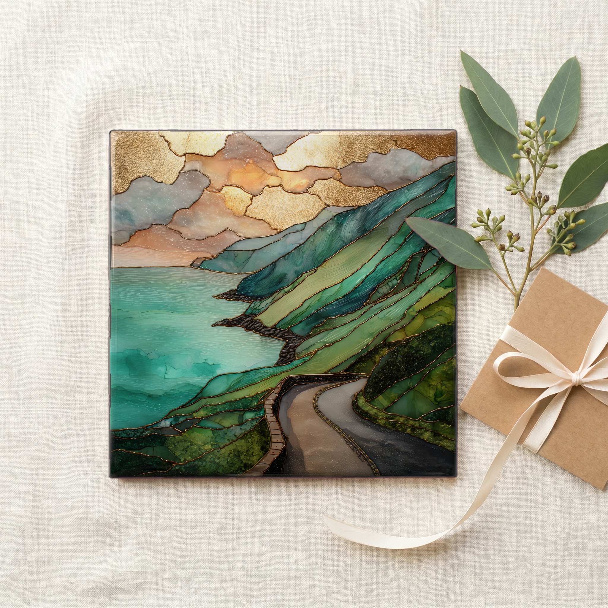
Each tile ships in a kraft box, tied with cream ribbon, with a handwritten note from the studio if you'd like to add one.
Three or five different vistas, hung together — a chapter of places you've been, or want to go.
The place, in three passes.
The Ring of Kerry is a 179-kilometre circular drive around the Iveragh Peninsula in County Kerry, on Ireland's southwest coast. The full loop on the N70 typically takes a long day, and the official Wild Atlantic Way overlaps several of its westernmost stretches. The route holds Killarney at its northeastern corner, traces the Atlantic west past Cahersiveen and Waterville, swings south to Sneem, and returns via Kenmare and the Kenmare River estuary. Killarney National Park, established in 1932 as Ireland's first national park, takes up the loop's inland edge: 102 square kilometres of lakes, woodland, and the MacGillycuddy's Reeks. The road climbs to Moll's Gap before descending back into Killarney.
The defining green of the Iveragh Peninsula is the consequence of weather. The southwest of Ireland receives between 1,200 and 2,500 millimetres of rain a year, well over twice the eastern coast's annual rainfall, and that constant moisture paired with the temperate maritime climate moderated by the Gulf Stream keeps the pastures and oak woods in active growth most of the year. The hills above Killarney still carry remnants of native sessile oak forest, one of the last fragments left in Ireland, and the lower slopes shade through bog grass, gorse, and bracken. In the artwork the green sits against the colder Atlantic blue and the grey limestone of the upper Reeks: three colours the peninsula returns to in every season.
The full loop runs counter-clockwise for tour coaches: Killarney to Killorglin to Cahersiveen to Waterville to Sneem to Kenmare, so the narrow western stretches don't meet head-on traffic. A car can drive it either way, though Irish driving customs and the N70's narrow sections favour the same direction. The drive itself is between four and five hours without stops; a full day allows for the Skellig boat at Portmagee from May to October, the Staigue stone fort built around 300 BCE, and the gardens at Muckross House. Killarney is the most common base, with rail service from Dublin in about three and a half hours. The road is open all year; the wettest months are December and January.