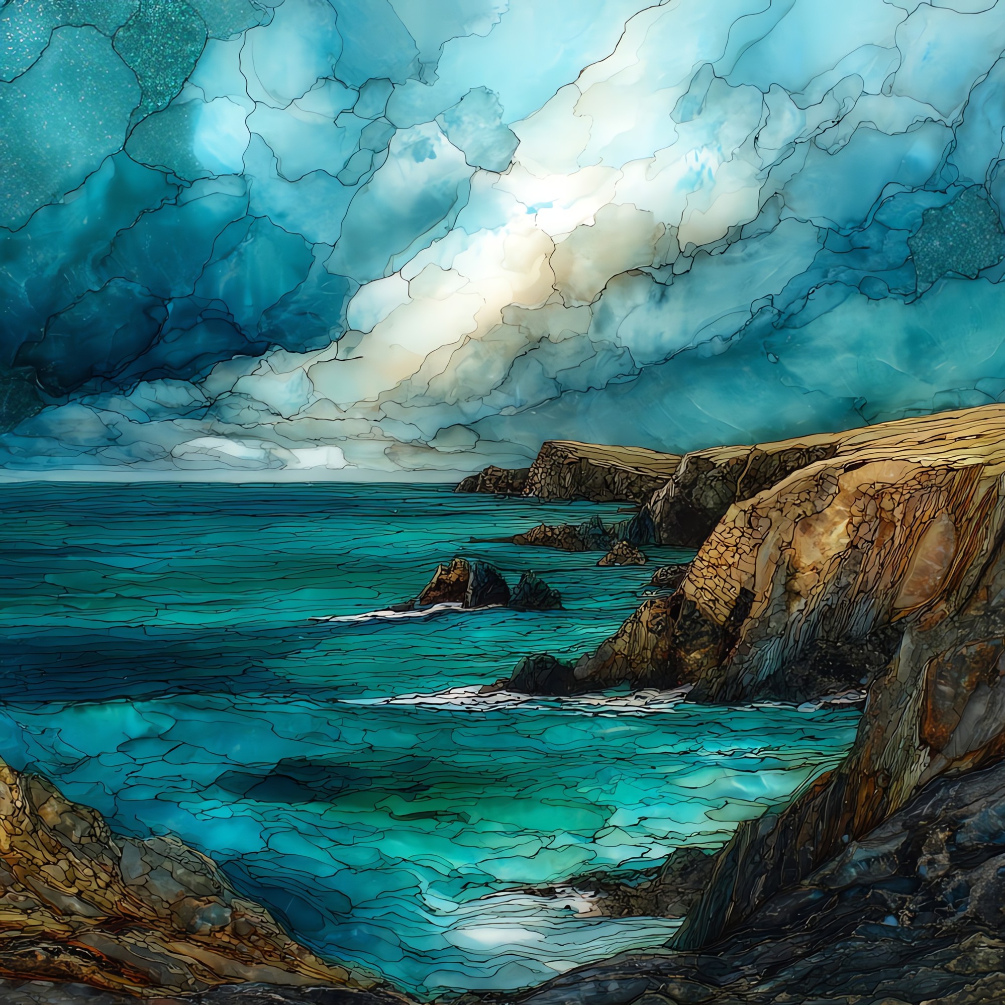
Malin Head
— where Ireland runs out of land.
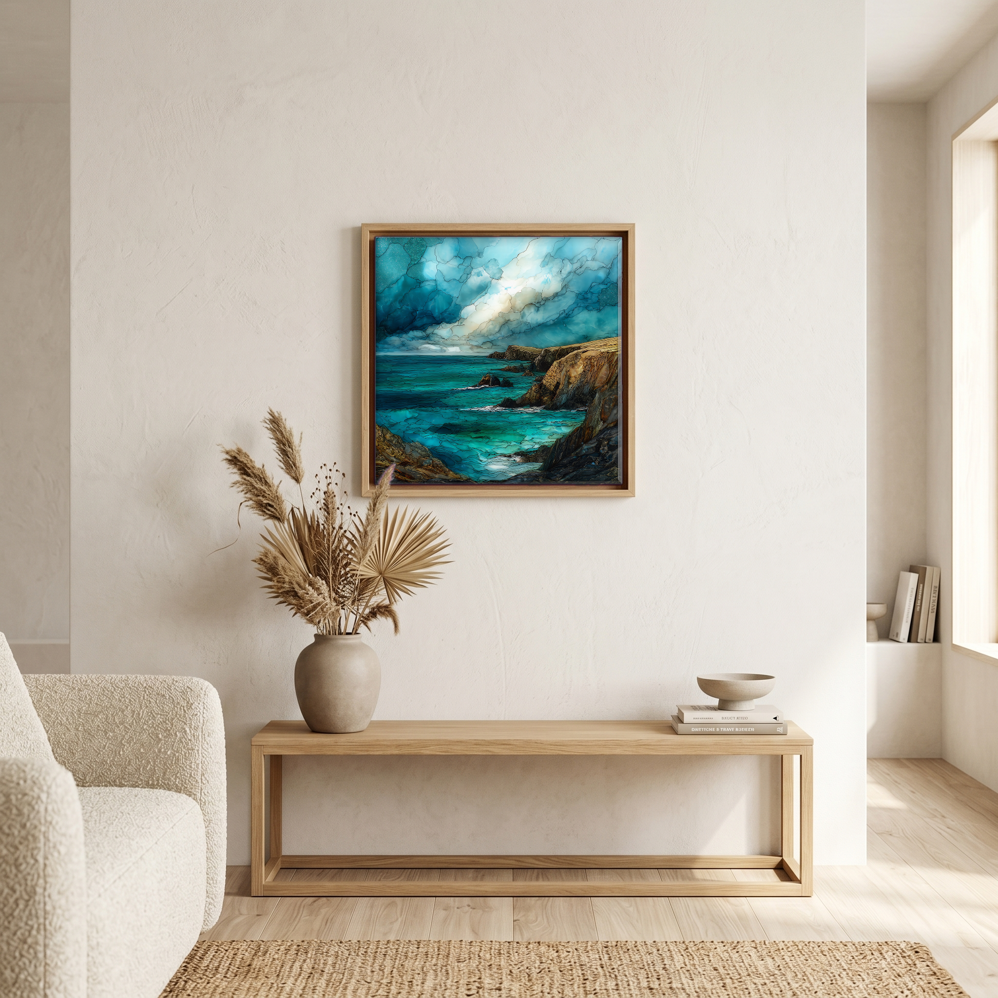
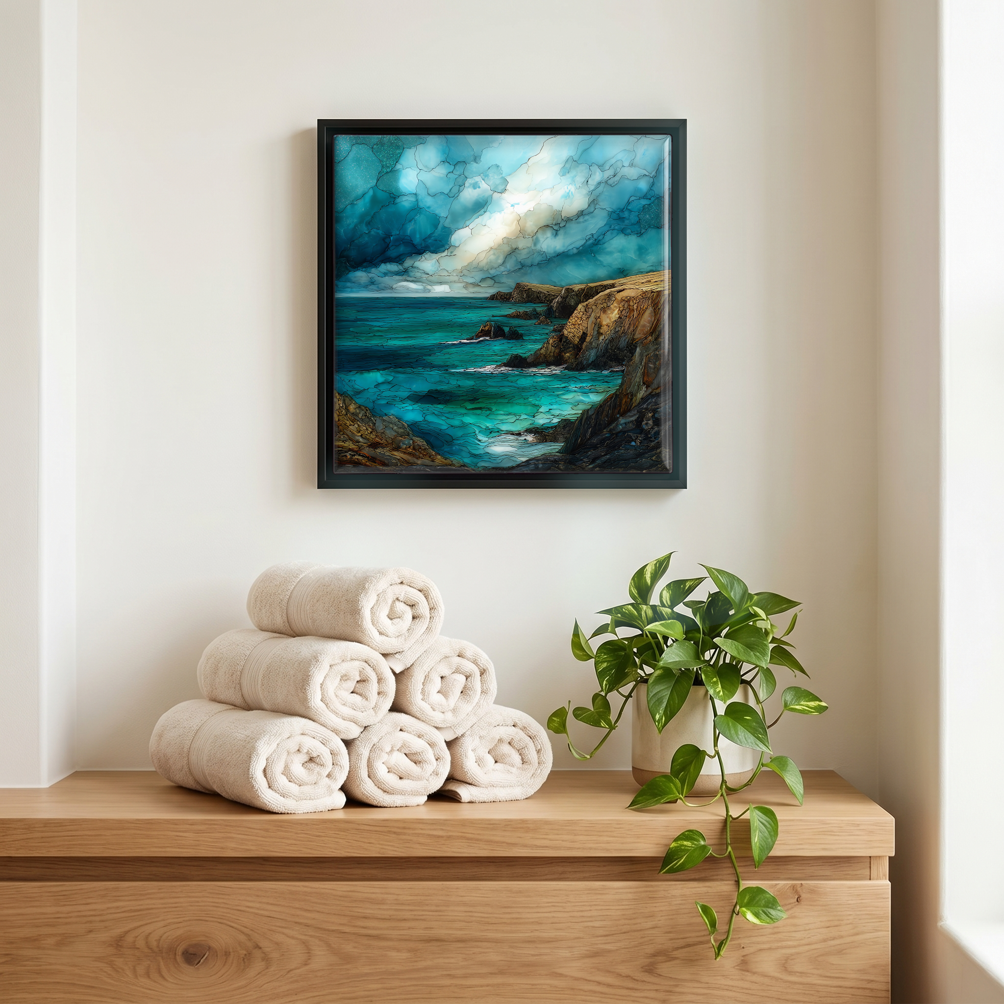
Not only on a wall.
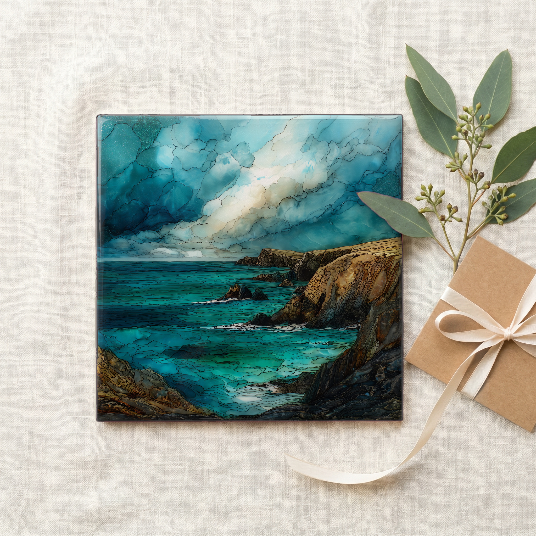
“The last cliff at the top of Inishowen, where the Wild Atlantic Way runs out. Banba's Crown sits on the highest point, a square Napoleonic-era tower keeping watch over water that goes uninterrupted to Iceland. On clear nights the aurora finds its way down here, Ireland's northernmost outpost, dark enough that the green light shows. Below the tower, white stones spell EIRE 80 across the heather, a wartime message to pilots that the land they were crossing was neutral ground. The wind comes off the Atlantic without asking.
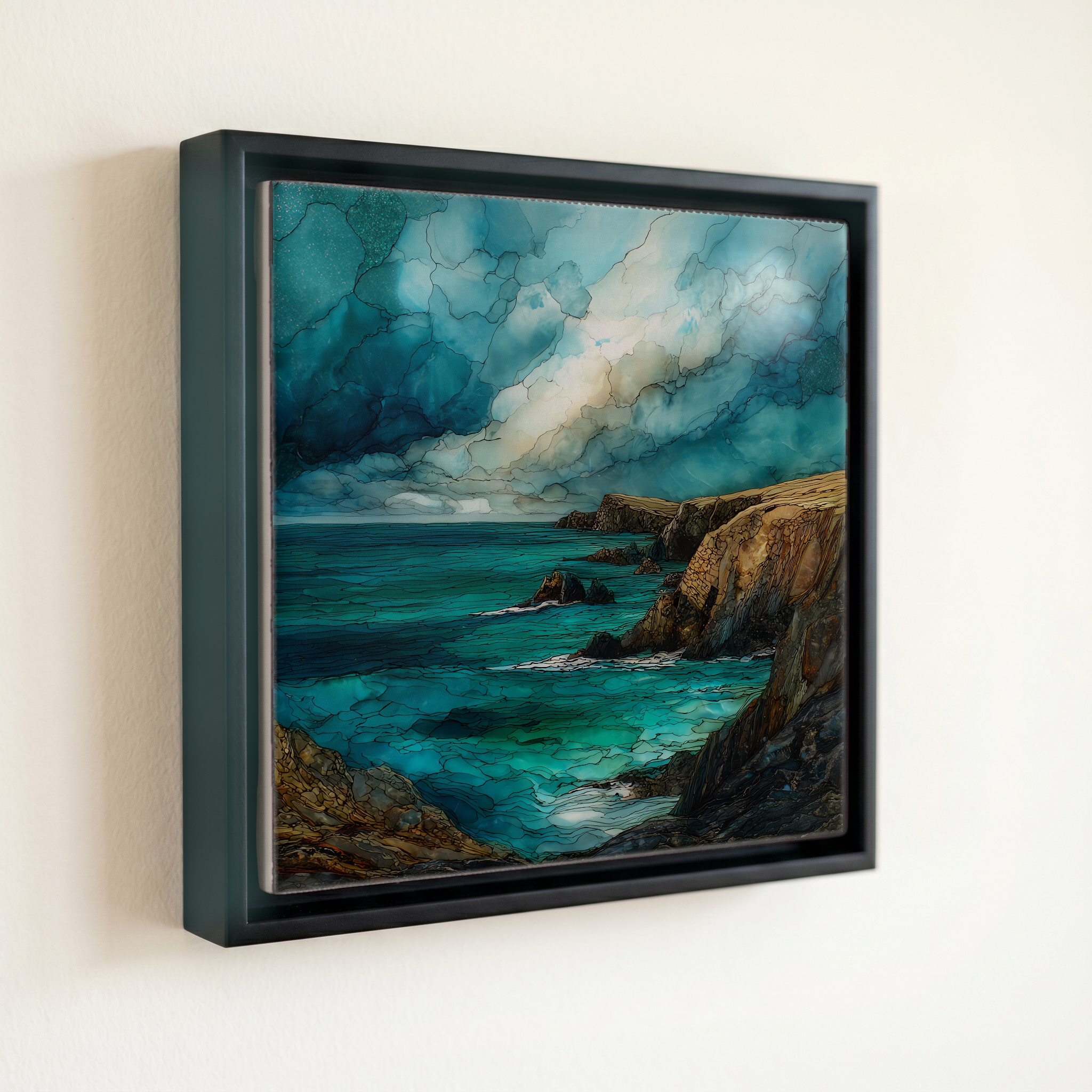
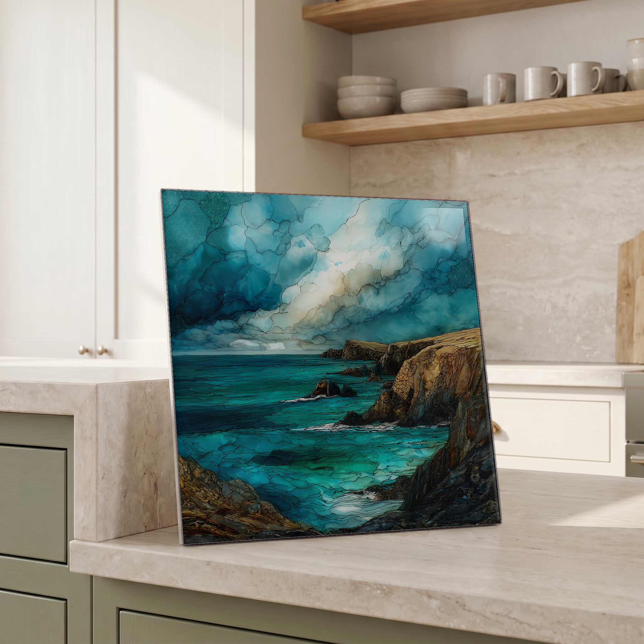
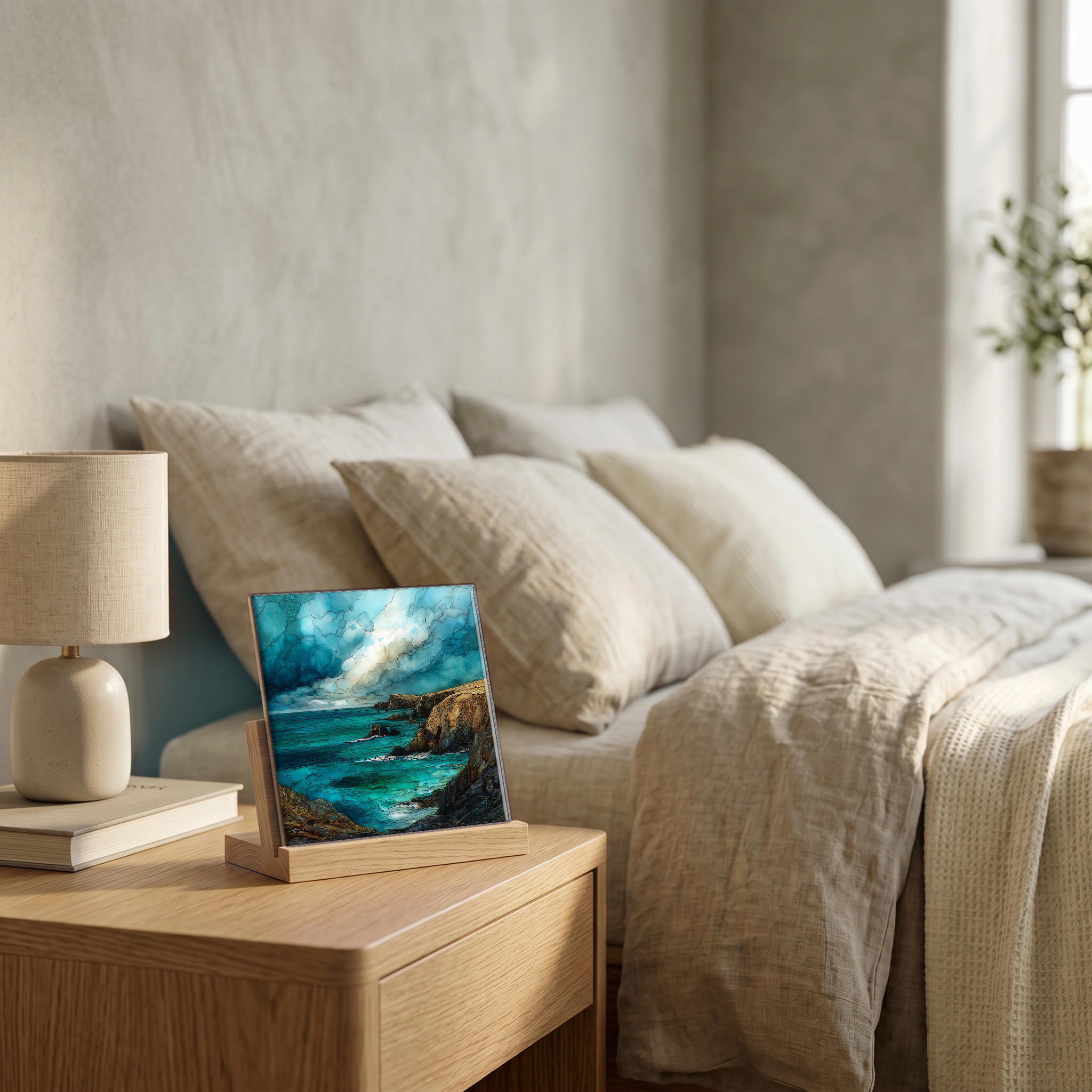
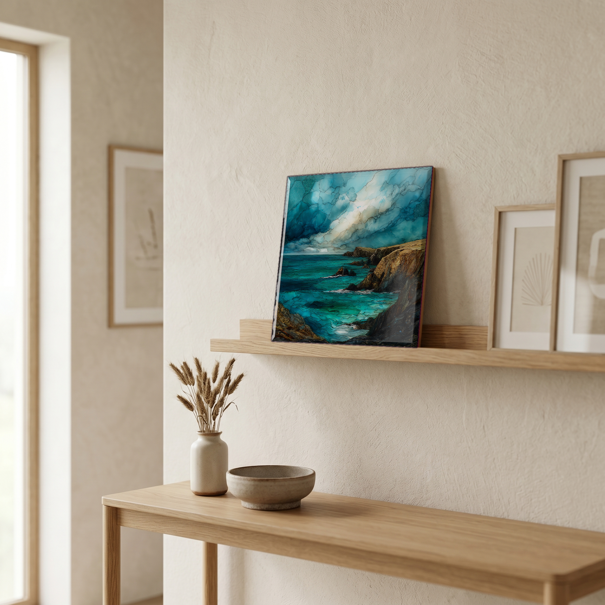
Malin Head, on ceramic.
Each tile is finished by hand in our Knoxville studio. Artwork is slowly infused into the ceramic surface under high heat and pressure, and rests beneath a thin glossy finish. The colour lives in the surface, not on top of it.
Pick any four 4-inch tiles — National Parks you've been to, a Smokies set, the four seasons of one place. $ for a set of , cork-backed, ready to live on the table.
Each tile ships in a kraft box, tied with cream ribbon, with a handwritten note from the studio if you'd like to add one.

Three or five different vistas, hung together — a chapter of places you've been, or want to go.
The place, in three passes.
Malin Head is the northernmost point of the Irish mainland, on the Inishowen Peninsula at the top of County Donegal. The headland's highest point is Banba's Crown, a rocky promontory crowned by a square stone tower built in 1805 by the British Admiralty as a Napoleonic-era lookout. The cliffs face the open North Atlantic, with uninterrupted water to Iceland roughly 1,200 kilometres north. It marks the northern terminus of the Wild Atlantic Way, Ireland's 2,500-kilometre coastal driving route from Donegal to Cork. The nearest village is Malin, about 15 kilometres south; the larger town of Carndonagh sits another 10 kilometres beyond. The shipping forecast knows the waters here simply as Malin, one of its named sea areas.
The wind at Malin Head is recorded among the strongest in Ireland during winter storms, when North Atlantic depressions track east across the country. At 55 degrees north, the headland sits in the path of nearly every weather system that crosses Ireland, which is why Met Éireann has maintained a synoptic meteorological station here since the mid-twentieth century. The name 'Malin' is still one of the named sea areas read out on the BBC shipping forecast. Even on calm days the breeze carries the salt of an ocean that begins right at the cliff. The exposure is total. On clear winter nights that same openness becomes an asset: Malin Head is among the best places in Ireland to see the aurora borealis, far enough north and dark enough that the green light appears low on the horizon when solar activity is strong.
The road to Banba's Crown is signposted from Malin village; the final stretch is narrow and ends in a small clifftop car park beside the 1805 signal tower. There is no entry fee and no opening hours. From the tower a short walk west leads to the EIRE 80 sign, the white stone letters laid out during the Second World War to inform Allied pilots that they were crossing neutral Irish territory. Below the cliffs are Hell's Hole, a deep narrow chasm where the Atlantic surges into the rock, and the Wee House of Malin, a small stone cell associated with early Christian hermits. The site became more widely known after parts of Star Wars: The Last Jedi were filmed here in 2016.