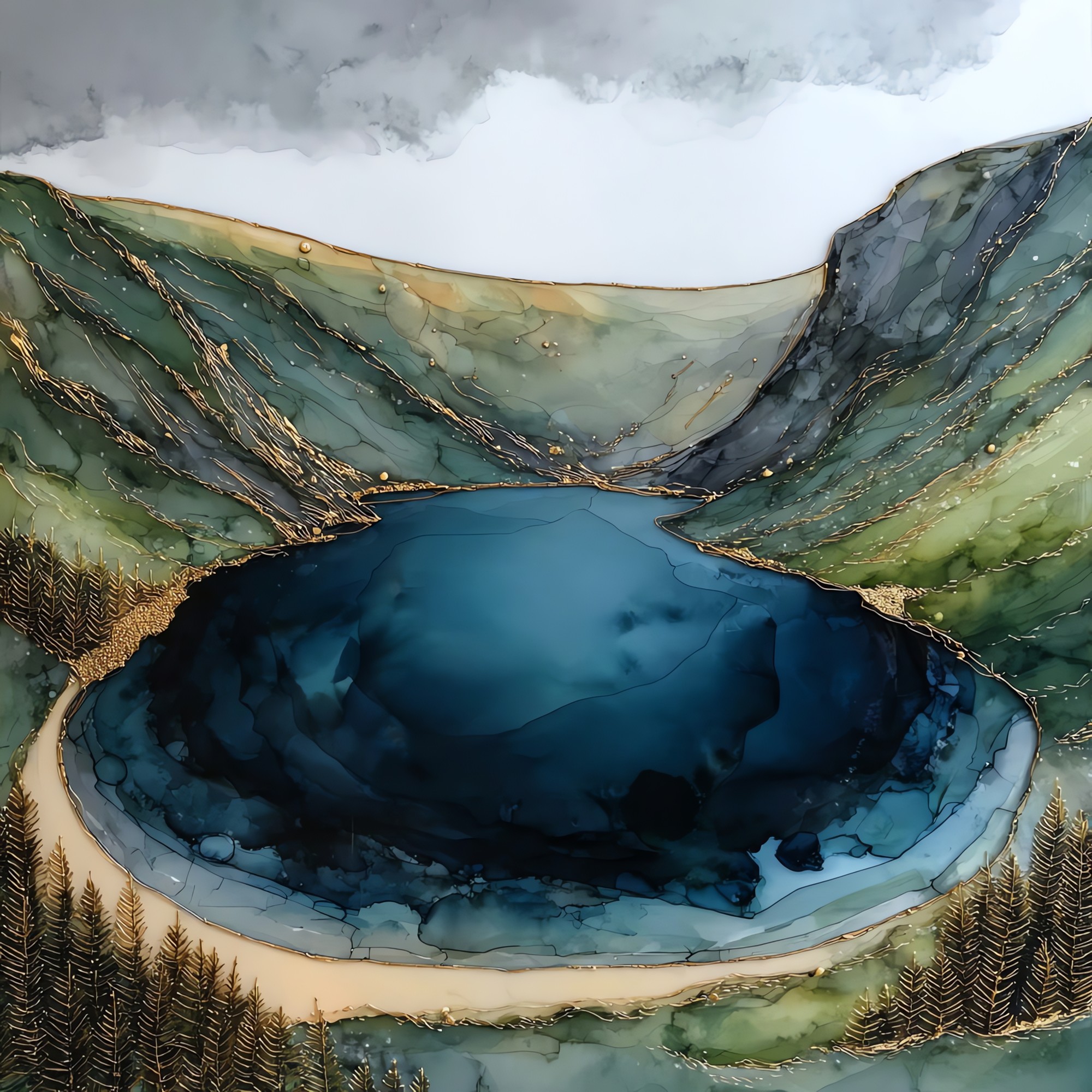
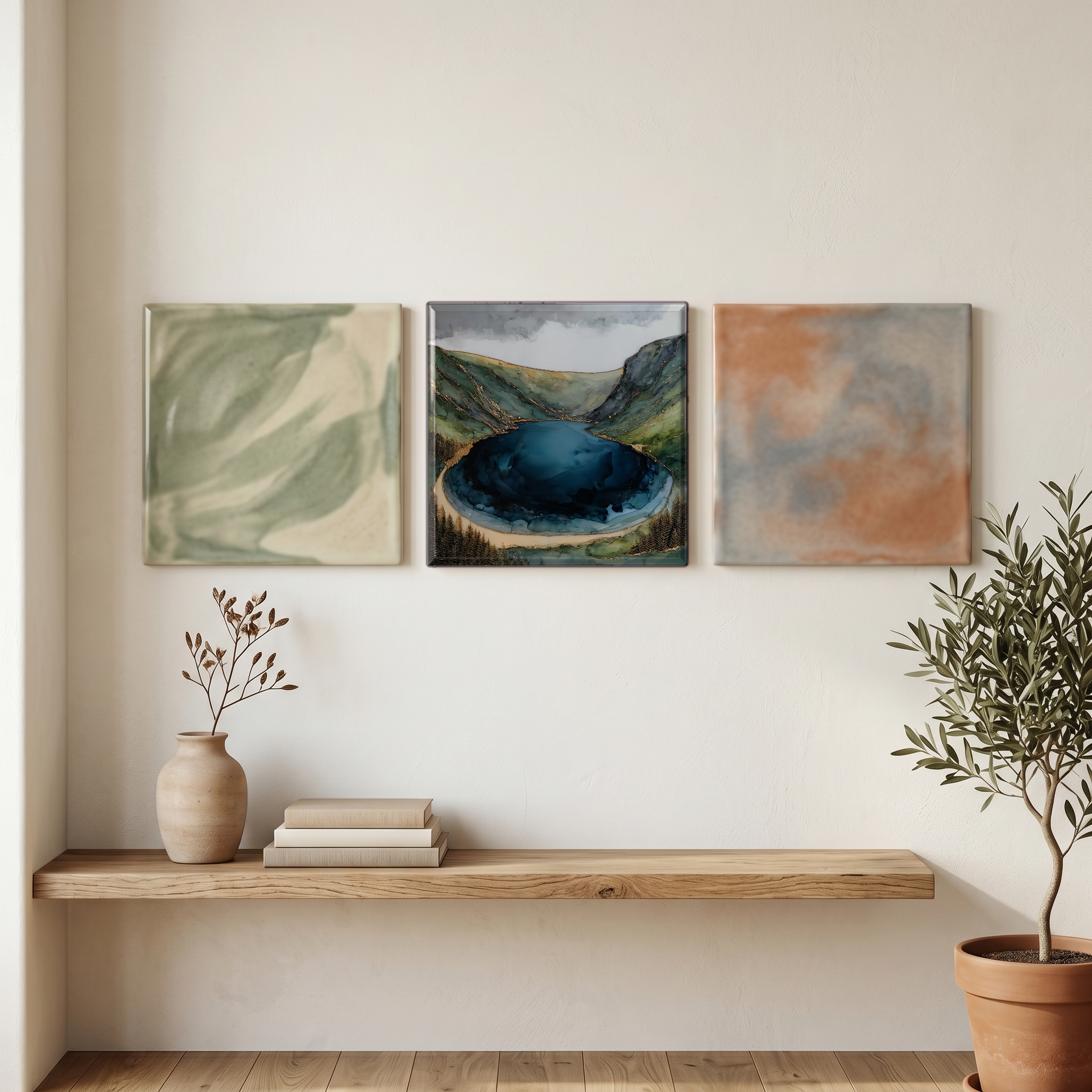
Lough Tay
— the colour of a pint poured slowly.
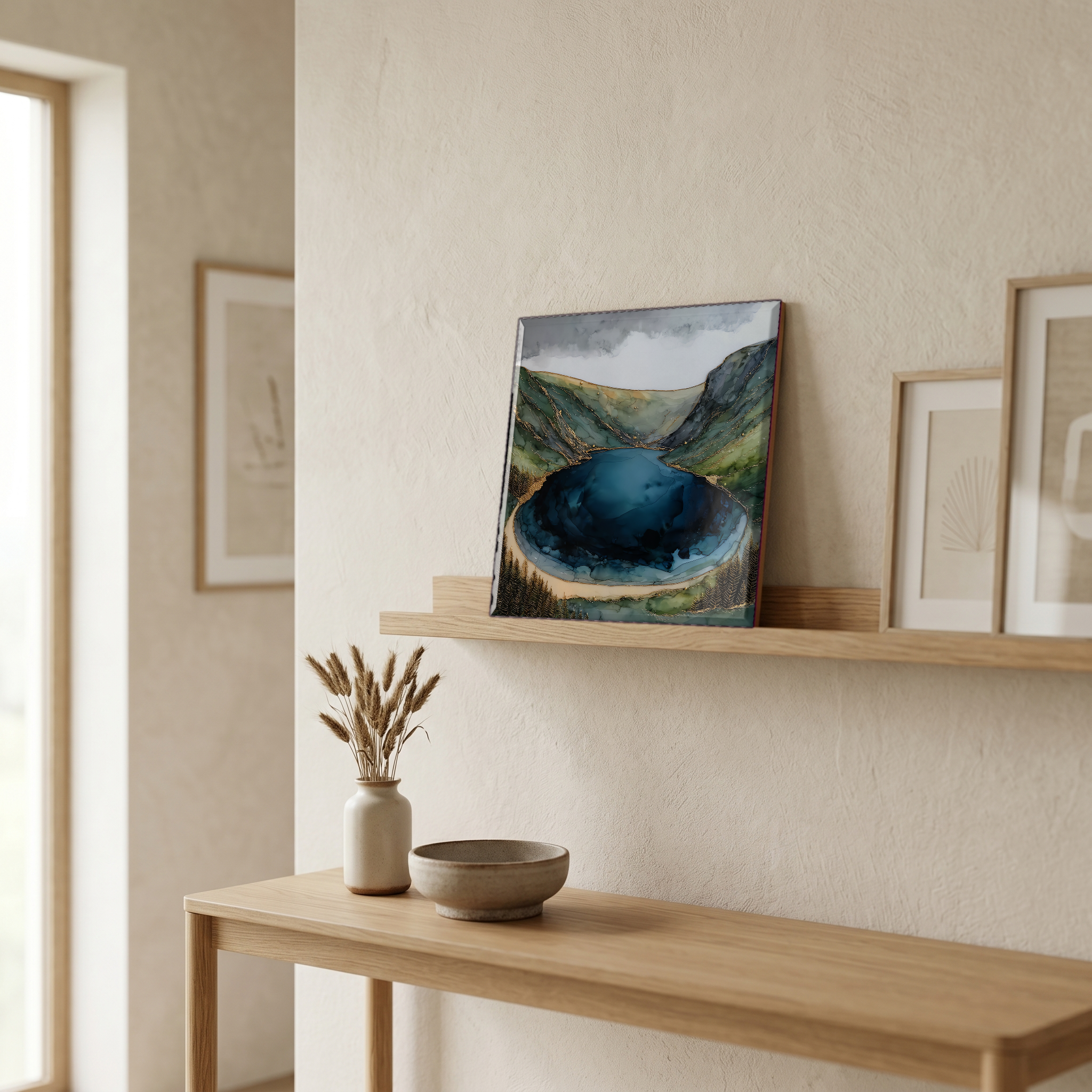
Not only on a wall.
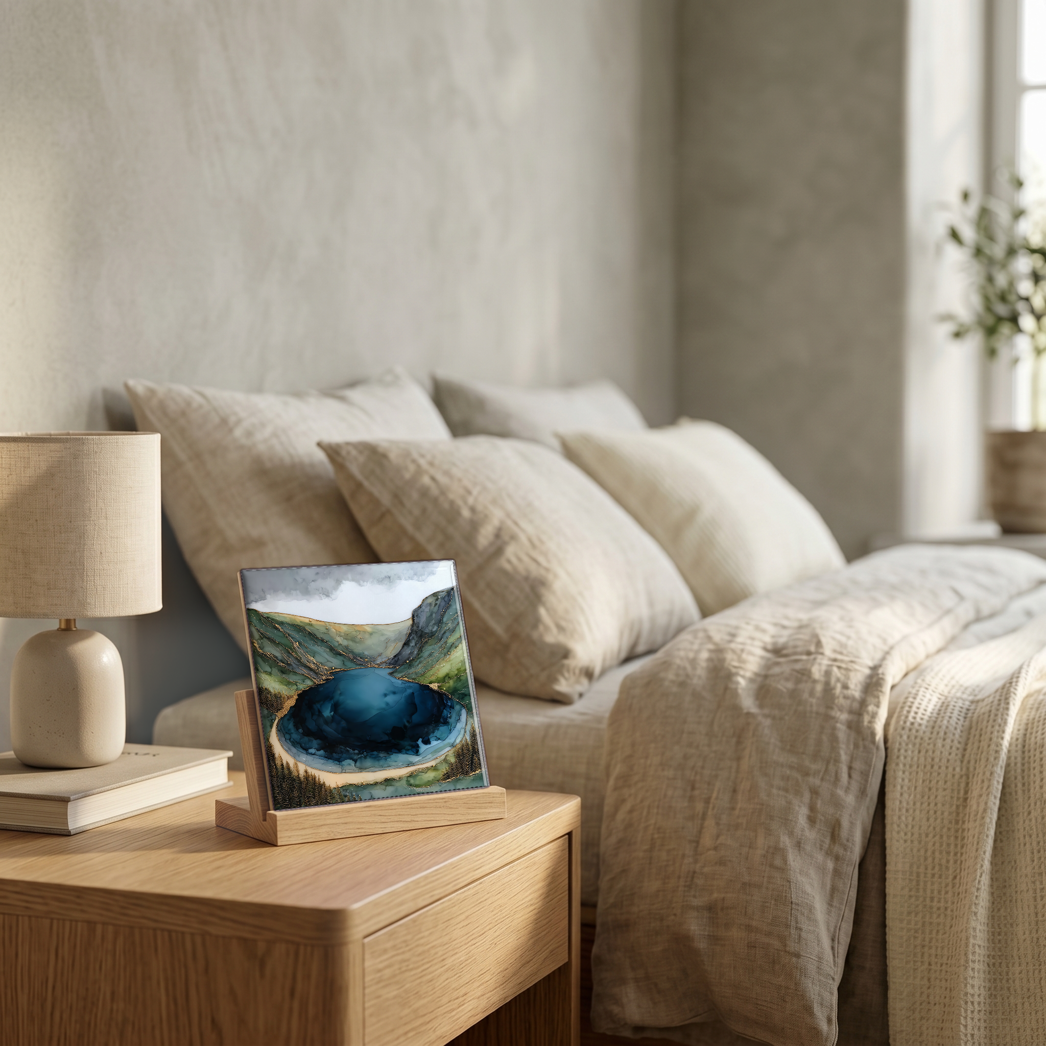
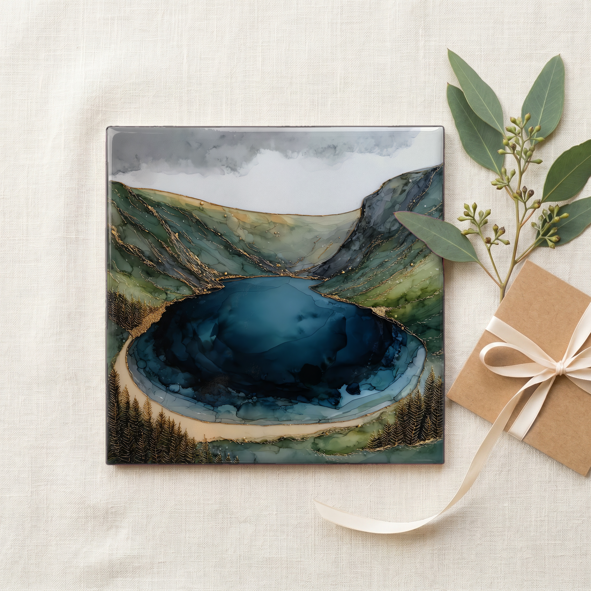
“A glacial valley below Luggala in the Wicklow Mountains, an hour south of Dublin. From the viewpoint on the R759, the lake reads the way the locals named it. The dark peat-stained body, the pale sandy crescent at the head, the shape of a pint poured slowly. The land around it was the Guinness family's Luggala estate for nearly seventy years before it sold in 2019. The road climbs and the wind comes hard across the saddle. Most cars stop. Nobody stays long.
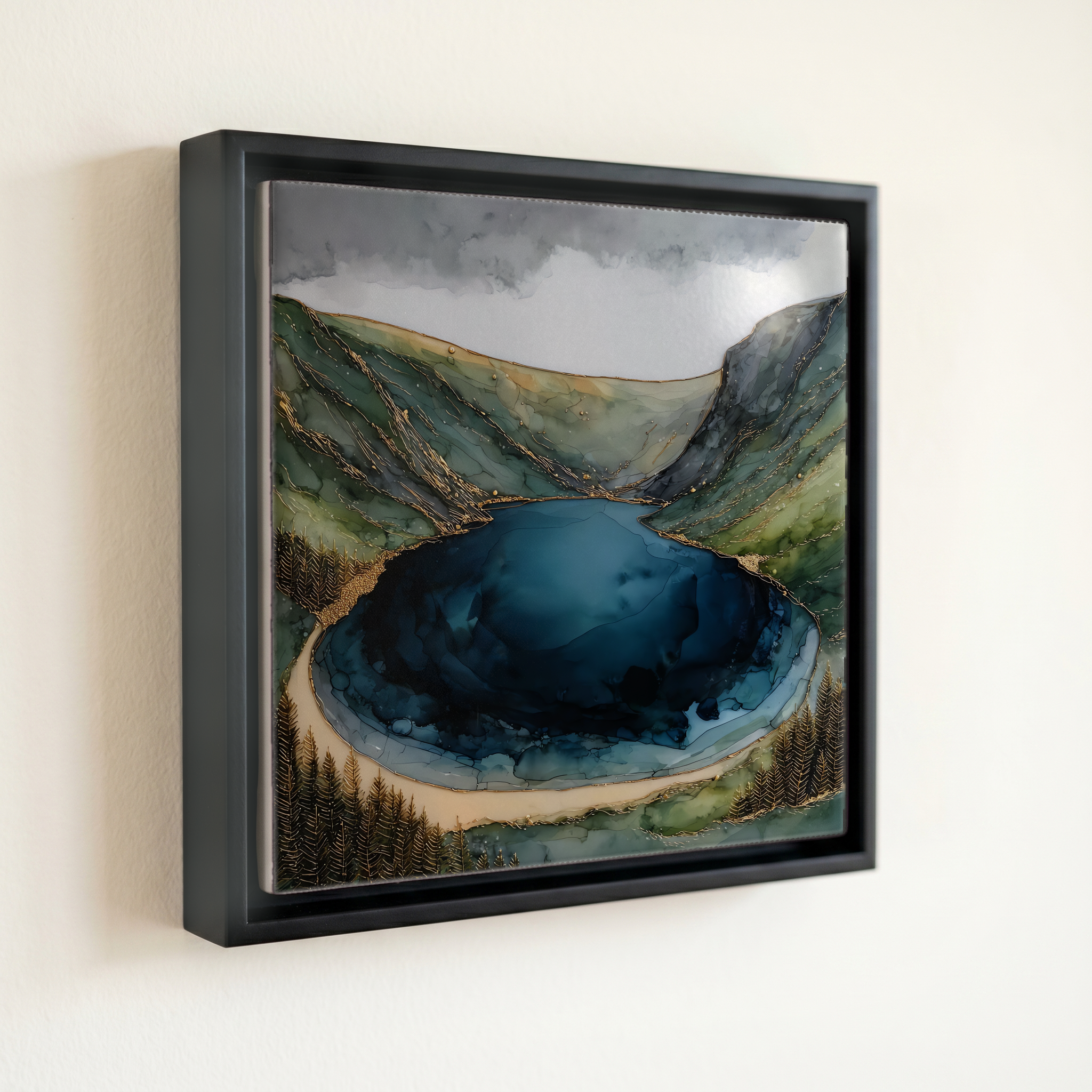
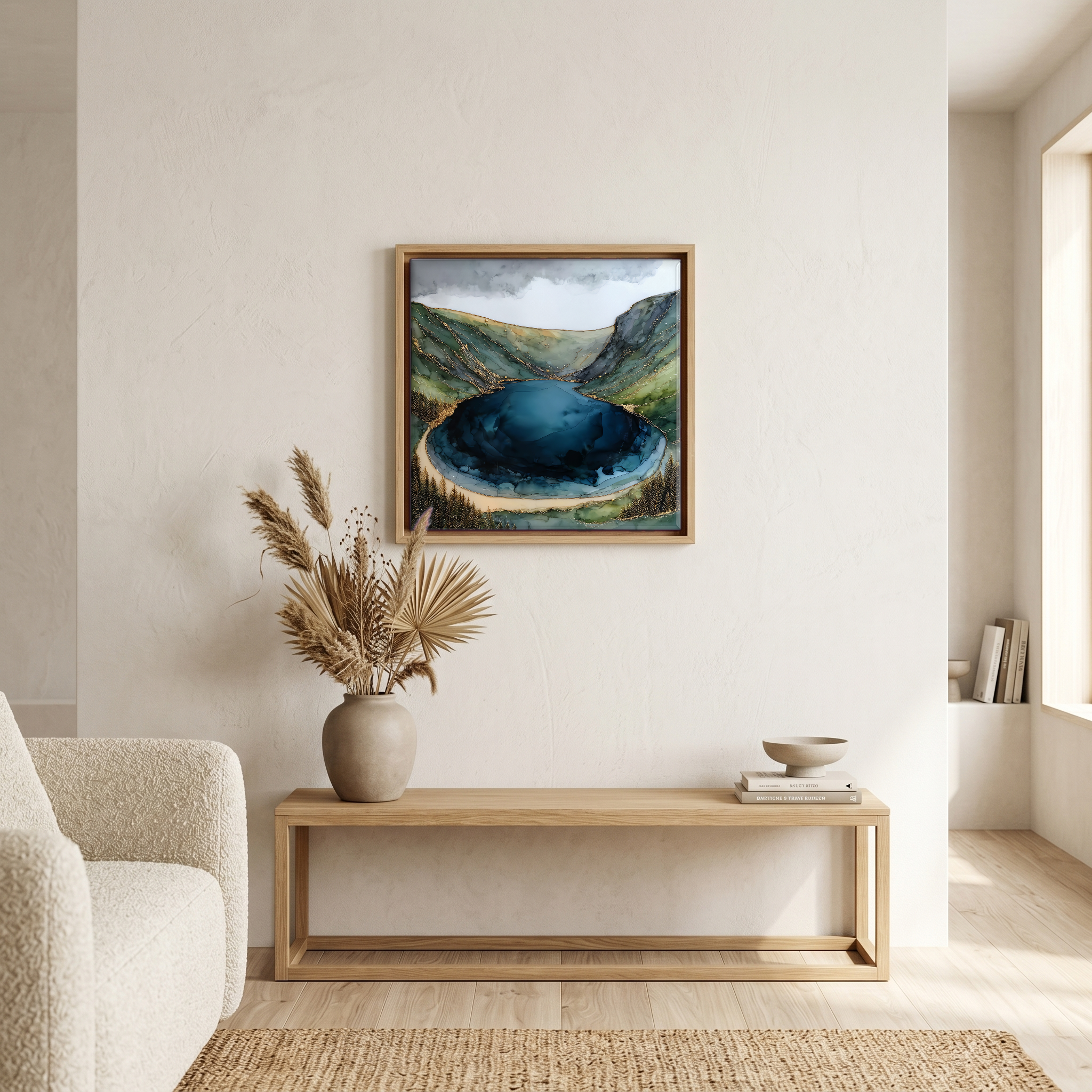
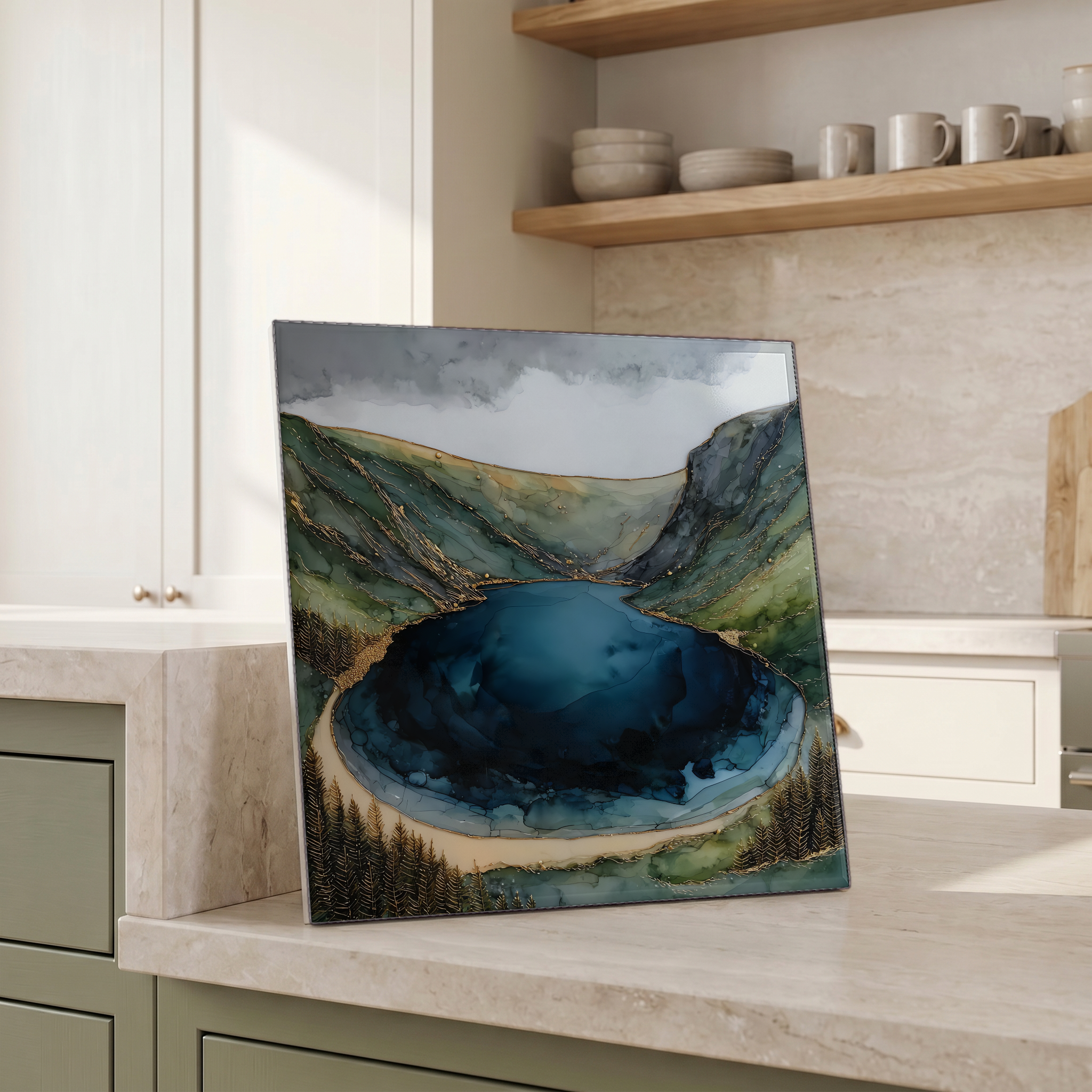
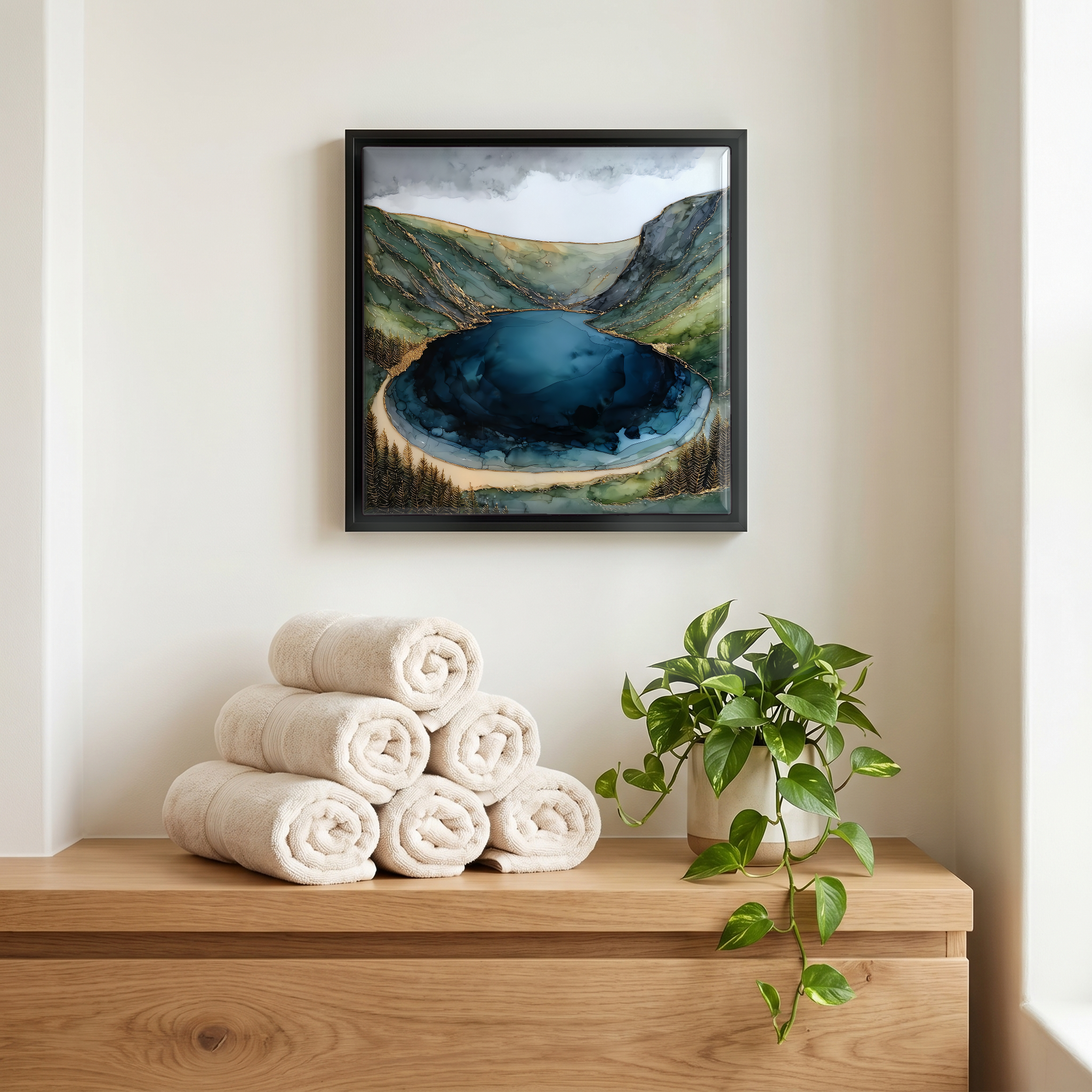
Lough Tay, on ceramic.
Each tile is finished by hand in our Knoxville studio. Artwork is slowly infused into the ceramic surface under high heat and pressure, and rests beneath a thin glossy finish. The colour lives in the surface, not on top of it.
Pick any four 4-inch tiles — National Parks you've been to, a Smokies set, the four seasons of one place. $ for a set of , cork-backed, ready to live on the table.
Each tile ships in a kraft box, tied with cream ribbon, with a handwritten note from the studio if you'd like to add one.
Three or five different vistas, hung together — a chapter of places you've been, or want to go.
The place, in three passes.
Lough Tay sits in a glacial trough between Luggala mountain and Djouce in the Wicklow Mountains, about 50 km south of Dublin in County Wicklow. The lake drains south through a short outflow into the larger Lough Dan, with the surrounding mountains part of Wicklow Mountains National Park. Access for the public is the viewpoint on the R759, the road that climbs to the Sally Gap and crosses the bog between the lakes. The shore and most of the surrounding land was the Luggala estate, held by the Guinness family from 1937 until 2019, when it was sold by the heirs of Garech Browne after his death the previous year. The lake bed is private and entry from the shore is not open to visitors.
The water is stained dark by peat draining out of the surrounding blanket bog, the same humic acids that give the colour to a Wicklow trout stream or a Scottish whisky. At one end of the lake there is a pale crescent of sand, by some accounts brought in by the Guinness family, that reads from the road like the head on a pint of stout. That resemblance gave the lake its informal name, Guinness Lake, used in tourist guides and on signage along the R759. Between 2013 and 2020, the History Channel series Vikings built the Norse settlement of Kattegat on this shore, with the dark water standing in for a Scandinavian fjord.
The lake is on private land and the shore is not accessible to the public. The view that travellers come for is from a layby on the R759, about 30 km south of Dublin and reached most easily from the Enniskerry side via Glencree. There is no fee. Parking is informal and limited to a handful of cars, and tour coaches stop only briefly. The Wicklow Mountains National Park sits below to the south, with the Cloghoge valley walk continuing on to Lough Dan and a longer hike up Djouce (725 m). Wind across the gap is the usual reason most visitors stay only a few minutes.