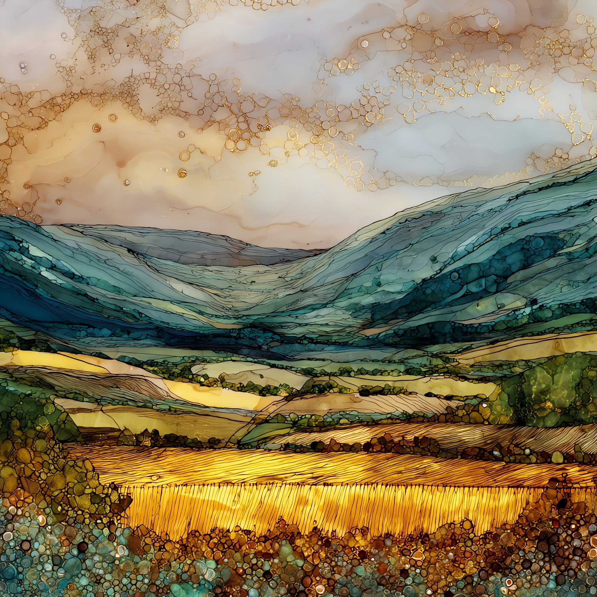
Glen of Aherlow
— — the long green held between two ridges.
Not only on a wall.
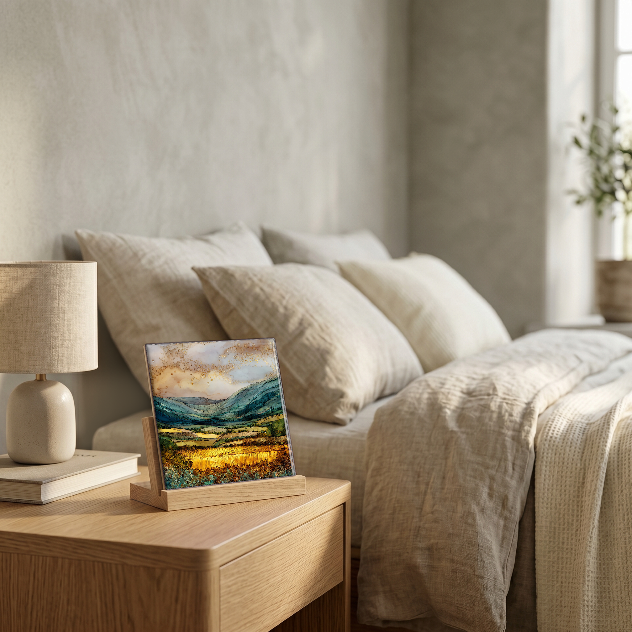
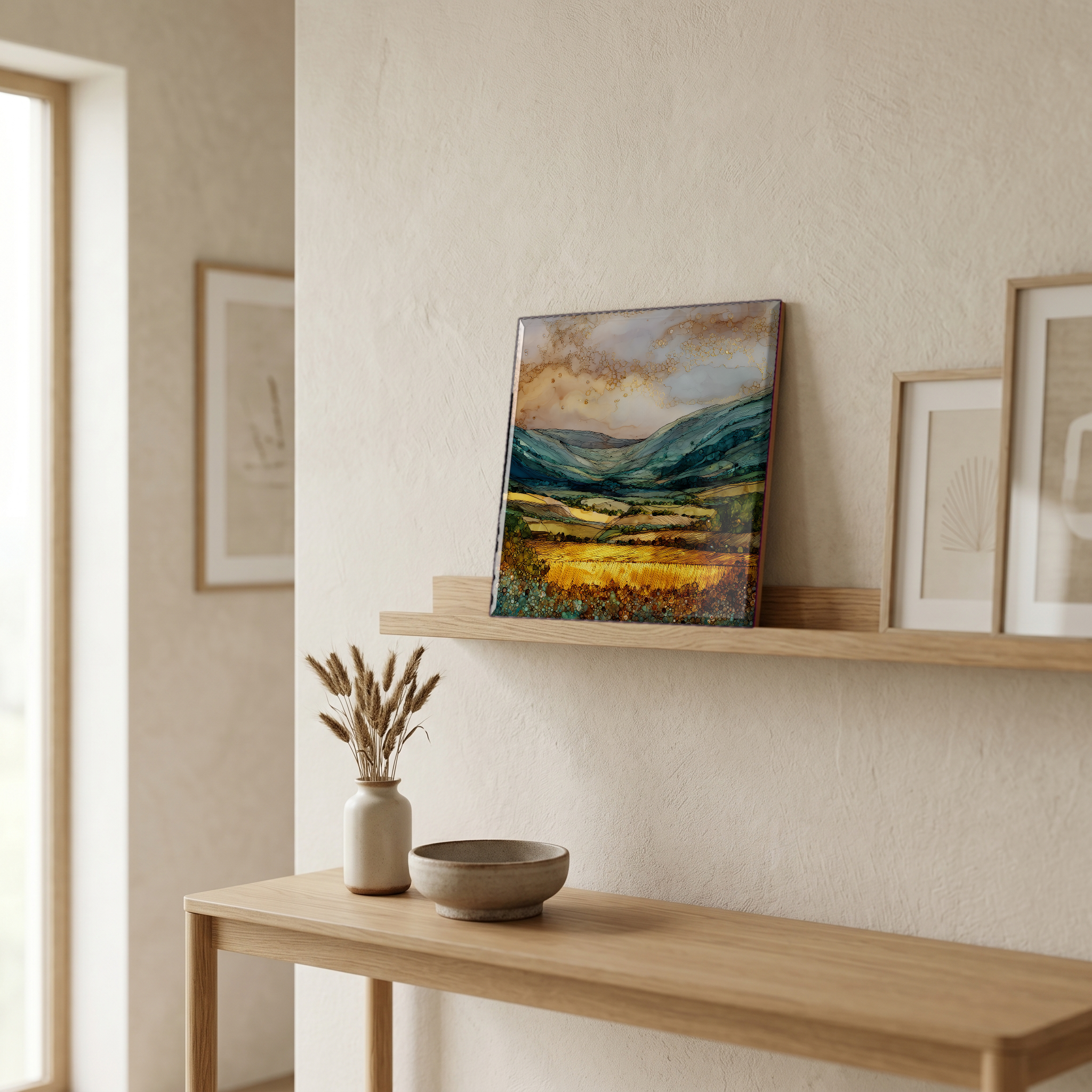
“A long valley in south Tipperary, held between the Galtee Mountains and the Slievenamuck ridge. The river Aherlow runs its floor for some fifteen miles, from Bansha at the east end to Galbally at the west. Cattle in the fields, the road tracking the river, and above the valley a statue of Christ the King set on a viewing platform in 1950, looking south across the glen. Drovers and travellers used this valley long before there was a road. Galtymore rises behind it, 919 metres, the highest peak in the Galtee range.
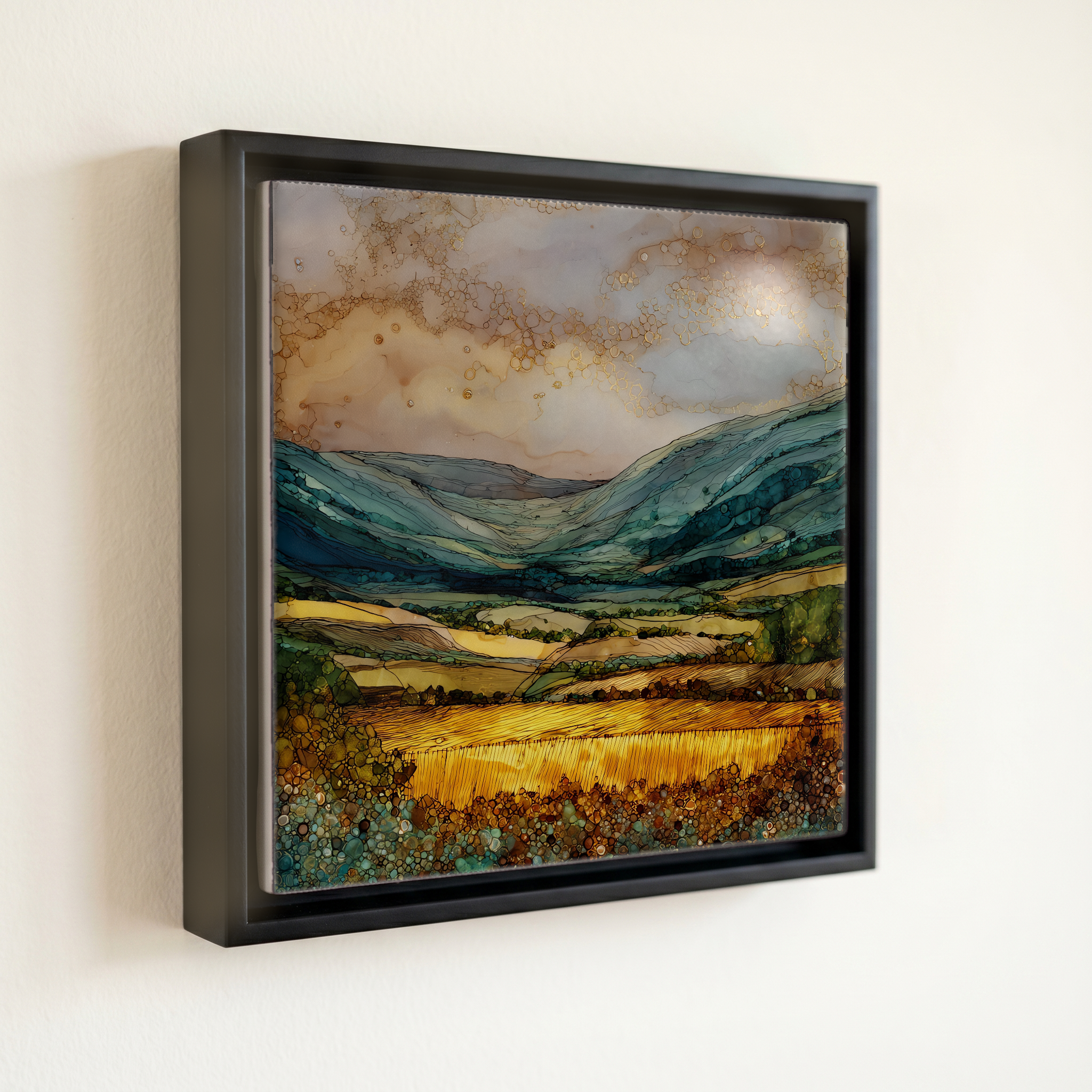
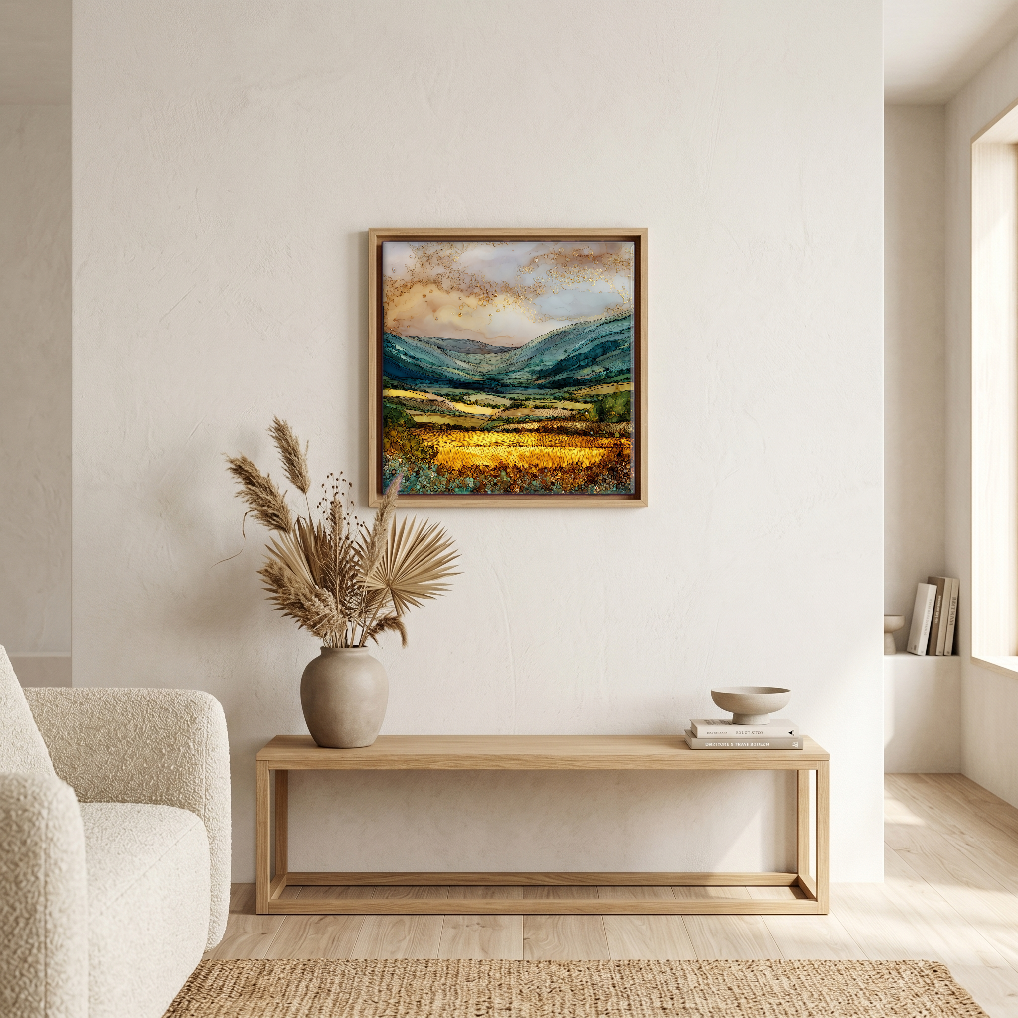
Glen of Aherlow, on ceramic.
Each tile is finished by hand in our Knoxville studio. Artwork is slowly infused into the ceramic surface under high heat and pressure, and rests beneath a thin glossy finish. The colour lives in the surface, not on top of it.
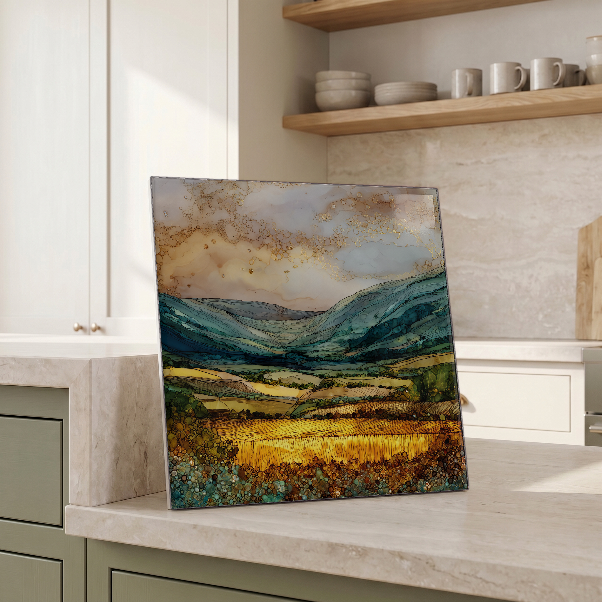
Pick any four 4-inch tiles — National Parks you've been to, a Smokies set, the four seasons of one place. $ for a set of , cork-backed, ready to live on the table.
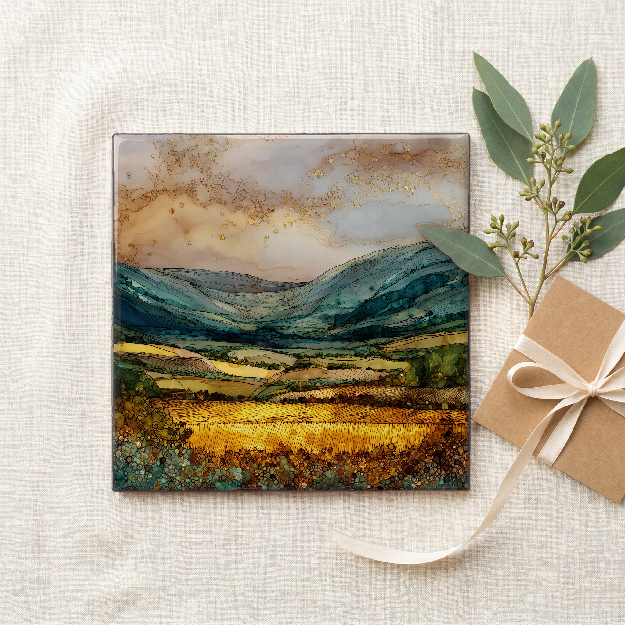
Each tile ships in a kraft box, tied with cream ribbon, with a handwritten note from the studio if you'd like to add one.

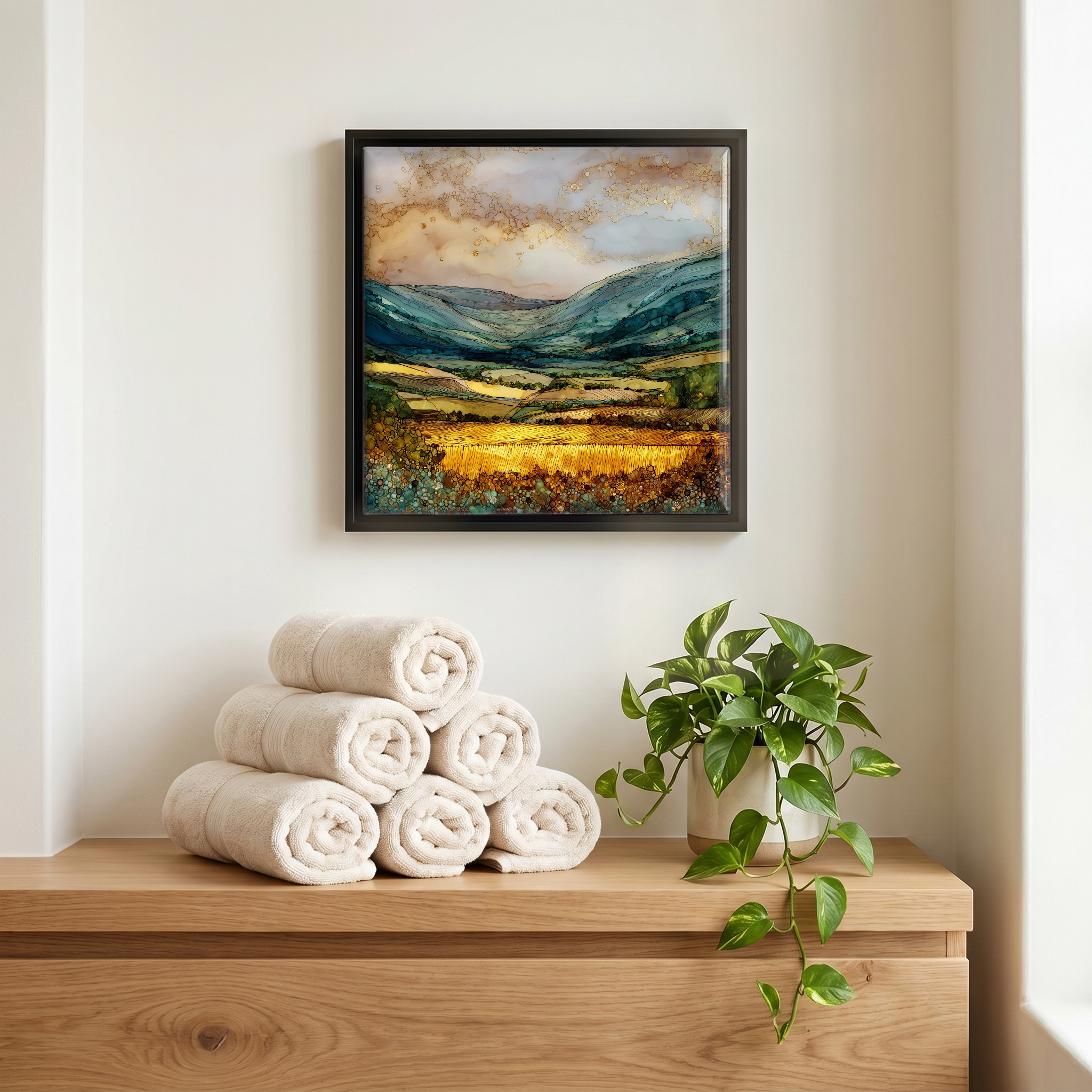
Three or five different vistas, hung together — a chapter of places you've been, or want to go.
The place, in three passes.
The Glen of Aherlow runs east-west for about twenty kilometres through south Tipperary, between the Galtee Mountains on its south side and the lower Slievenamuck ridge on its north. The river Aherlow drains the valley floor, flowing east into the Suir near Bansha. The two villages that bookend the glen are Bansha at the east and Galbally at the west, with smaller settlements along the road between them. The valley sits in Munster, the southern province of Ireland, and is reached from Tipperary town about ten kilometres to the north-east. Galtymore, the highest peak in the Galtee range at 919 metres, rises behind the southern wall.
The Galtee Mountains on the south side of the glen are built of Old Red Sandstone, the Devonian rock that forms most of southern Ireland's hills. The northern ridge, Slievenamuck, is the same sandstone in a lower, longer line. The valley floor between them is part of the Golden Vale, the limestone-rich pasture belt that runs across south Tipperary into Limerick. Galtymore (Cnoc Mór na nGaibhlte in Irish) is the high point of the range at 919 metres, the tallest peak in the Galtees. The sandstone gives the long ridge lines their shape and the valley its enclosure.
Walking is the way the glen is best known. A network of waymarked loop walks runs from trailheads along the valley road, ranging from short riverside paths to the climb up Galtymore. The viewpoint most visitors stop at is the platform below the Christ the King statue, erected in the Holy Year of 1950, looking south across the valley to the Galtees. The Glen of Aherlow Failte Society maintains the trails and the signposting. There is no entry fee. The glen is open all year, though the higher walks are exposed in winter and the mountain weather changes quickly.