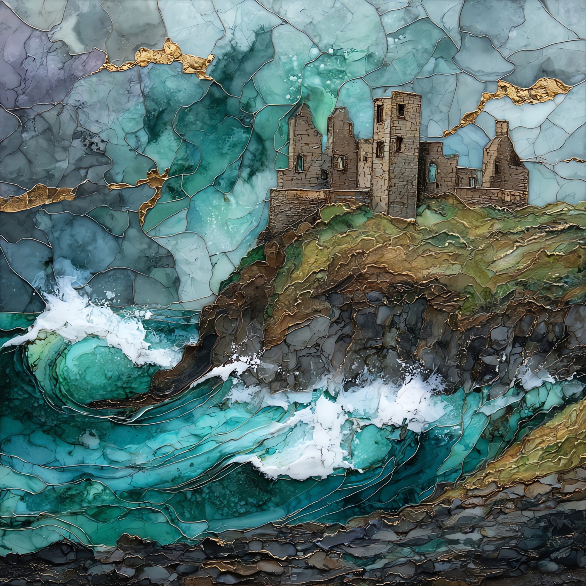
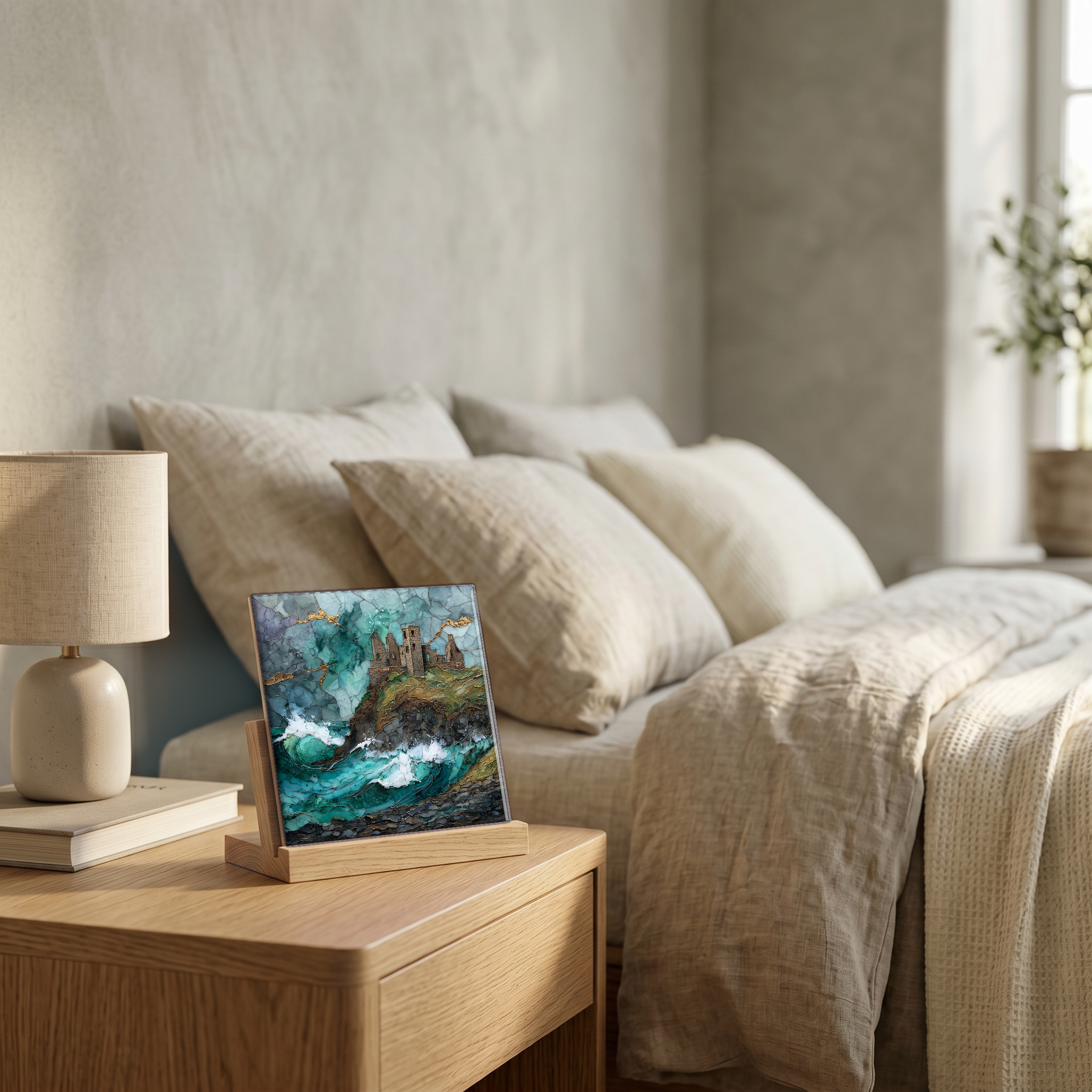
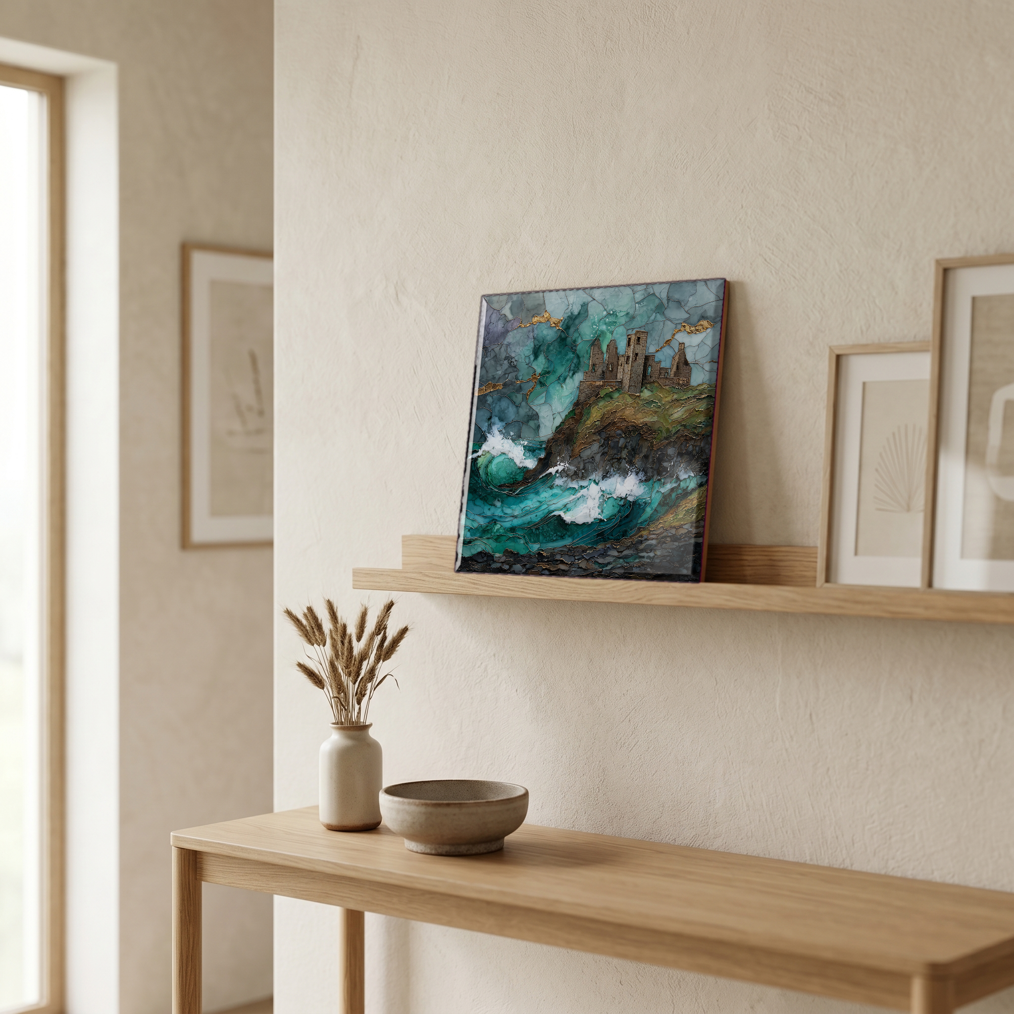
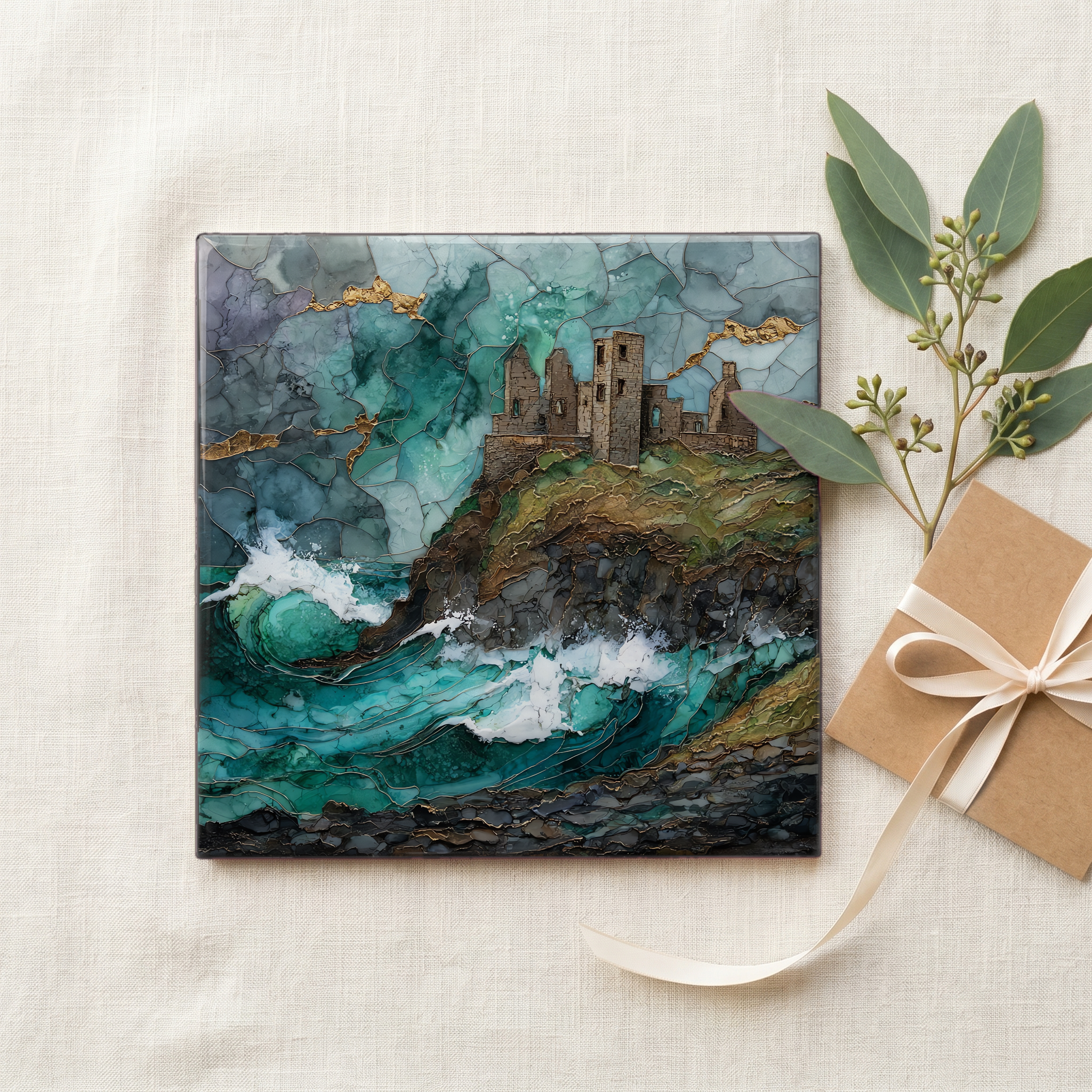
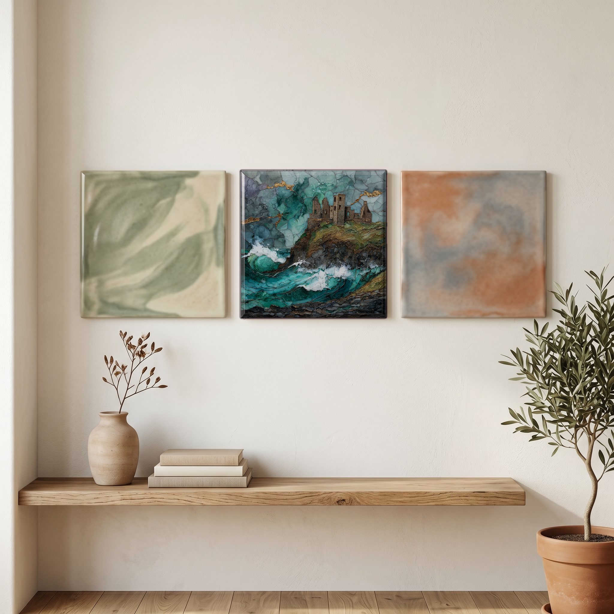
Dunluce Castle
— — the castle the sea has been taking back.
Not only on a wall.
“A ruin on a basalt headland on the north coast of County Antrim, joined to the mainland by a narrow bridge of stone. The MacDonnell clan held the place through the 1600s, until the cliff began to give and the household kitchen, by local account, broke off one night and went into the sea below. The Atlantic has kept working on the rock ever since, taking what it can reach. From the coast road west of Portballintrae, the silhouette is what most people picture when they imagine a castle on a sea cliff. The wind here is rarely small.
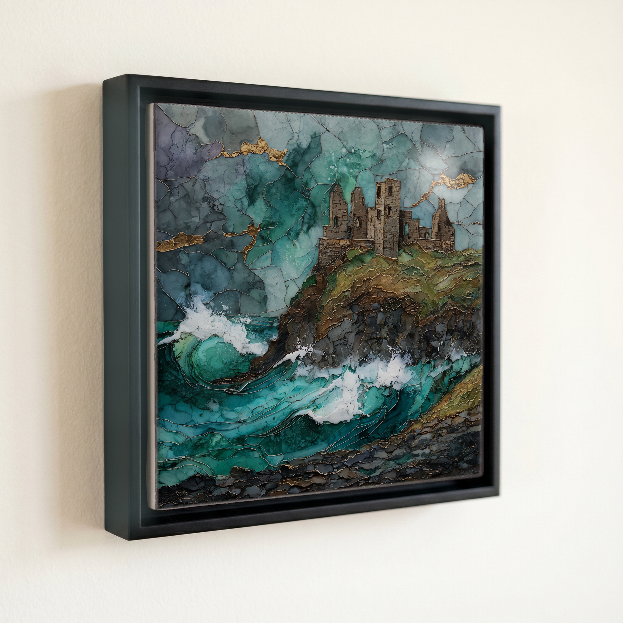
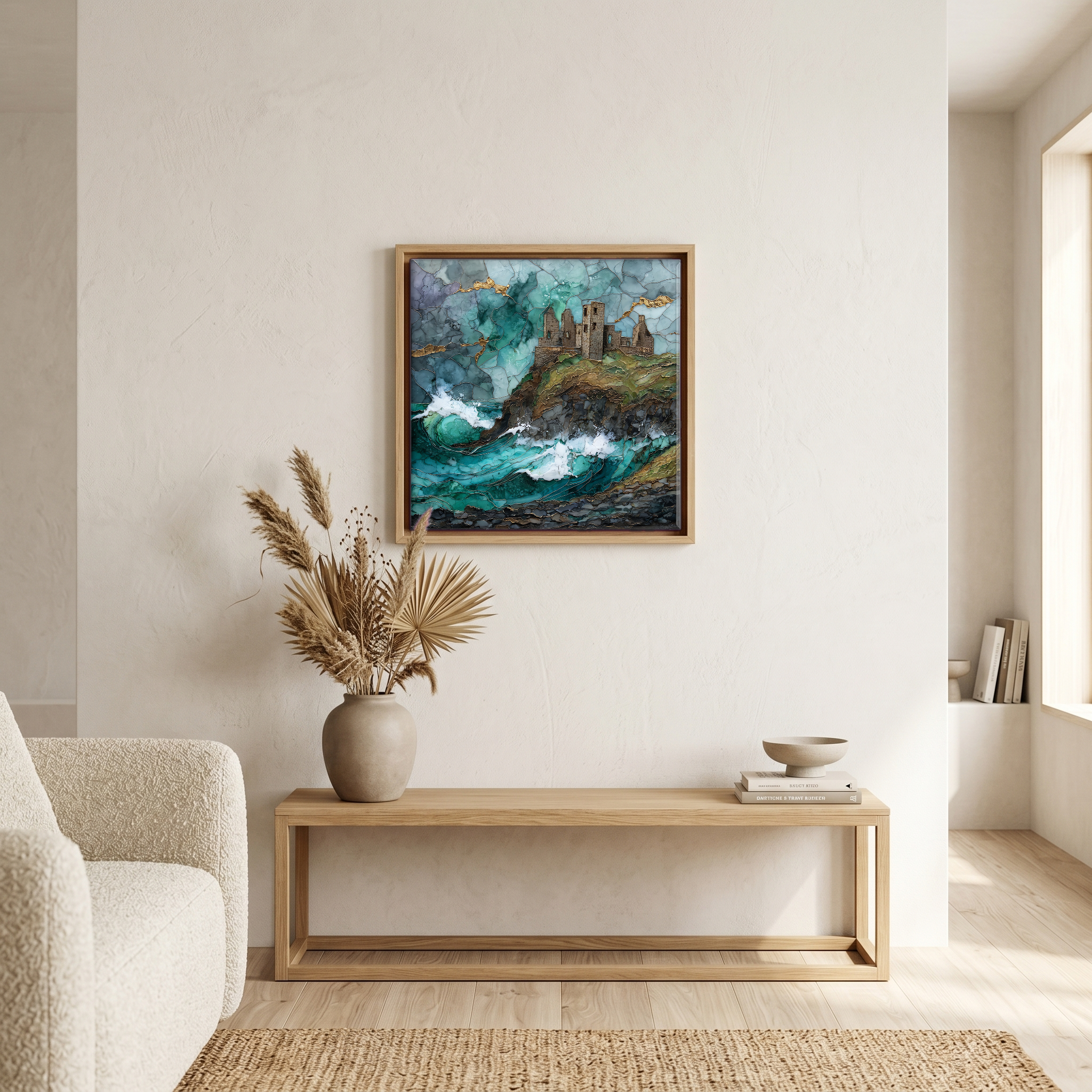
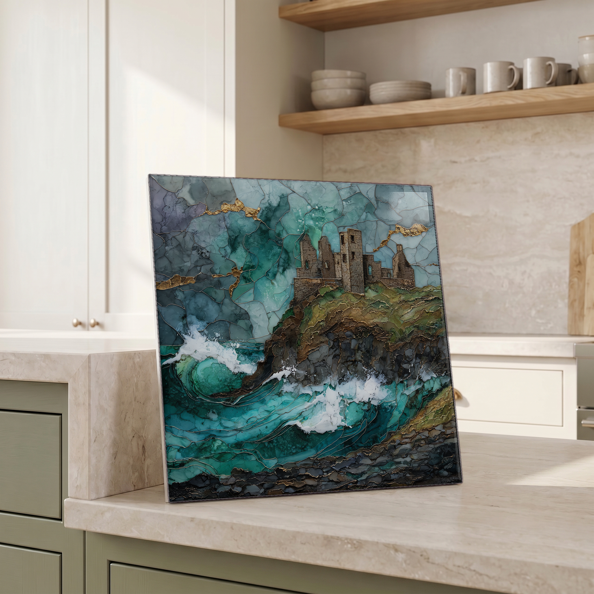
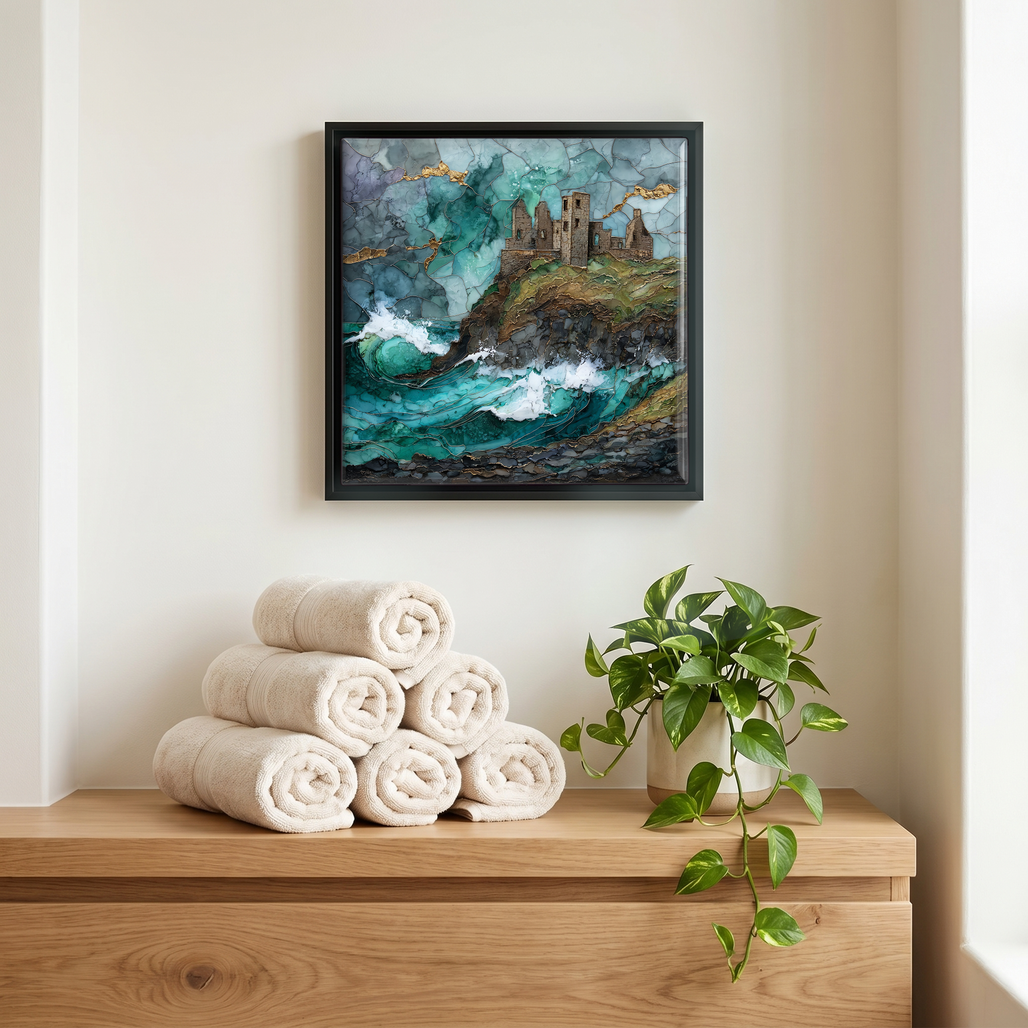
Dunluce Castle, on ceramic.
Each tile is finished by hand in our Knoxville studio. Artwork is slowly infused into the ceramic surface under high heat and pressure, and rests beneath a thin glossy finish. The colour lives in the surface, not on top of it.
Pick any four 4-inch tiles — National Parks you've been to, a Smokies set, the four seasons of one place. $ for a set of , cork-backed, ready to live on the table.
Each tile ships in a kraft box, tied with cream ribbon, with a handwritten note from the studio if you'd like to add one.
Three or five different vistas, hung together — a chapter of places you've been, or want to go.
The place, in three passes.
Dunluce Castle stands on a basalt headland on the Causeway Coast of County Antrim, Northern Ireland, about five kilometres east of Portrush and three kilometres west of the Giant's Causeway. The site is joined to the mainland by a narrow stone bridge that has been the only entrance since the medieval period. The first stone fortifications were raised in the 13th century by the Earl of Ulster; most of the surviving fabric is the work of the McQuillan family in the late 1400s and of the MacDonnell clan, who took the site in 1565 and held it through the 17th century. The ruin is now in the care of the Historic Environment Division of the Department for Communities, and is open to the public.
The cliff under the castle is columnar basalt, part of the same Antrim lava flow that breaks the surface as hexagonal columns at the Giant's Causeway five kilometres east. The rock formed roughly sixty million years ago during the Paleogene, as the North Atlantic opened and basalt poured over the Antrim plateau. Beneath the keep is a sea cave, the Mermaid's Cave, cut by Atlantic surf along a fault in the basalt; at low tide it can be reached from a path on the western side of the headland. The cave is one reason the castle is here, since medieval defenders could provision the rock by boat from below. It is also one reason the castle is slowly leaving.
The castle is open through the year under the Historic Environment Division of the Department for Communities, with reduced winter hours and a modest admission fee. The site sits on the A2 coast road between Portrush and Bushmills; the car park is across the road from the main gate, and a short footpath drops to the ticket house. Allow about an hour to walk the inner courtyard, the upper and lower wards, and the bridge across to the rock. The light is best in the last hour before sunset, when the basalt turns red and the bridge throws a long shadow. The medieval town that once stood beside the castle was burned in 1641 and is now an excavated field on the inland side of the road.