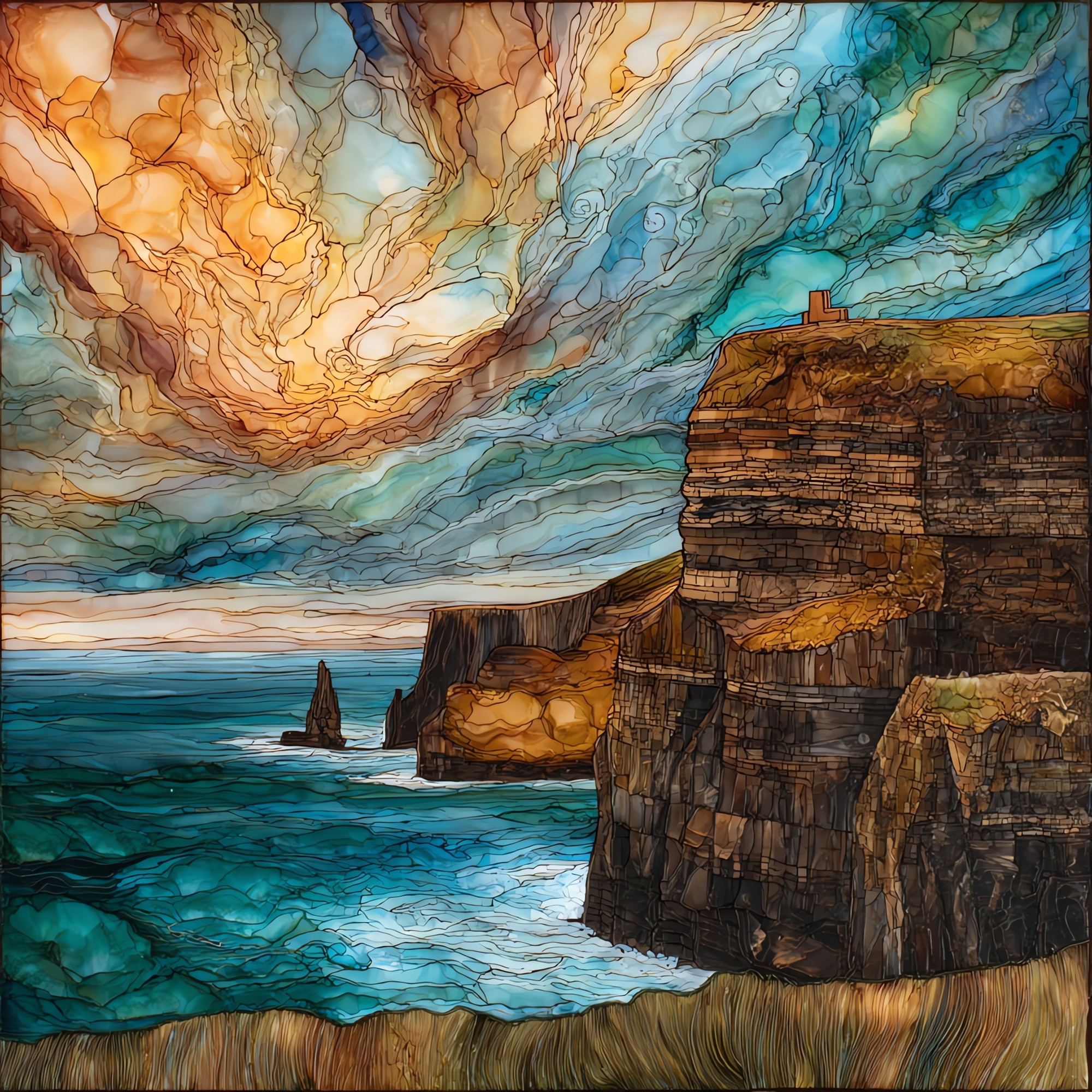
Cliffs of Moher
— — a wall the Atlantic keeps editing.
Not only on a wall.
“The west coast of County Clare, where the land breaks off into the Atlantic. About fourteen kilometres of cliff between Hag's Head and the headland north of Doolin: shale and sandstone laid down 320 million years ago, lifted and exposed to weather that never quite finishes the job. O'Brien's Tower has stood at the high point since 1835. The light changes by the half hour. Puffins return to the headland every spring and lift back out to sea by August. From the path, on a clear afternoon, the swell reads up from the base, two hundred metres below.
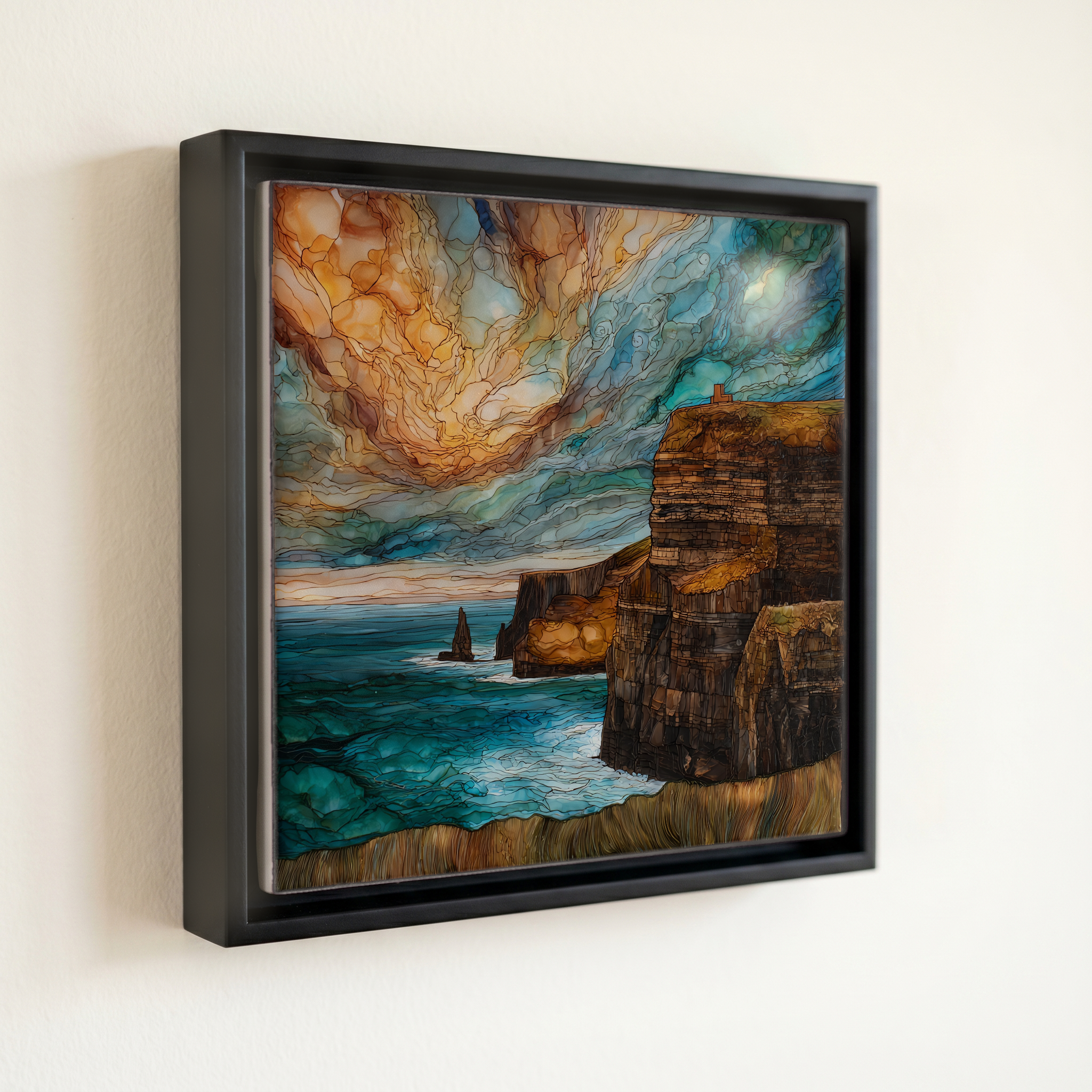
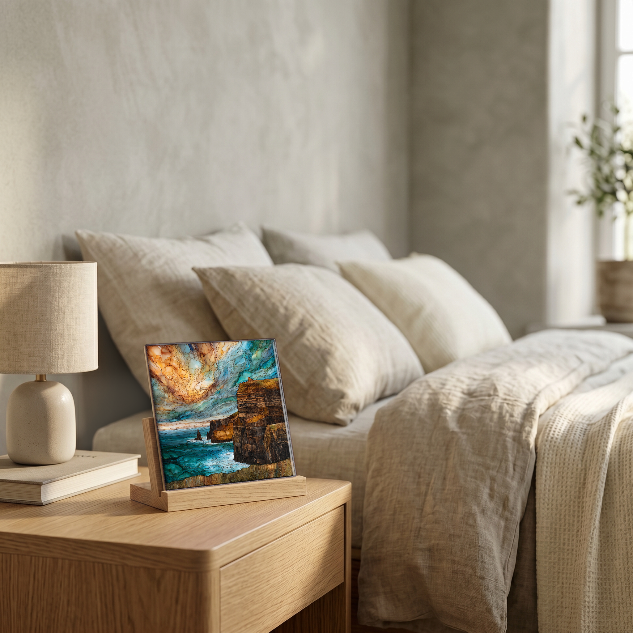
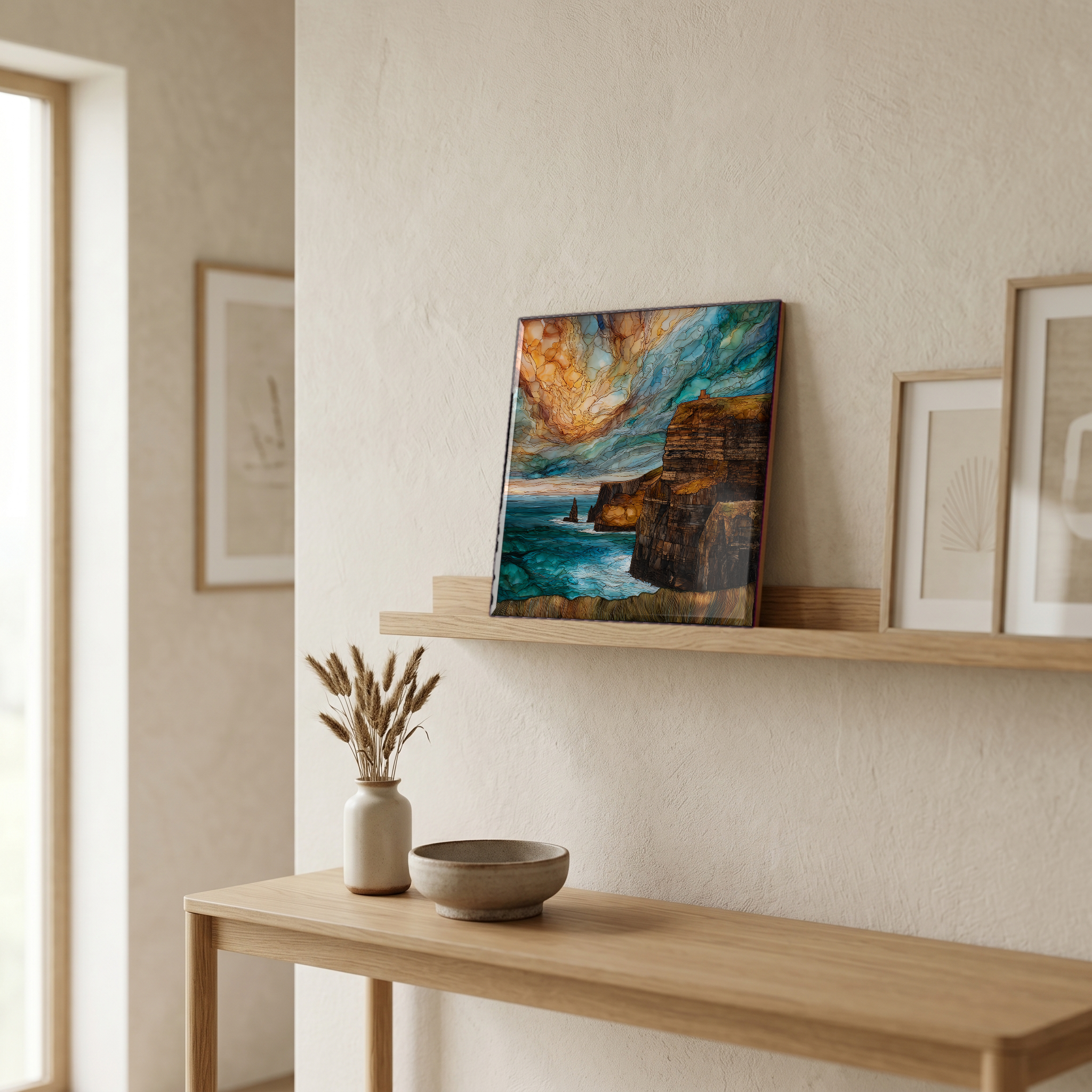
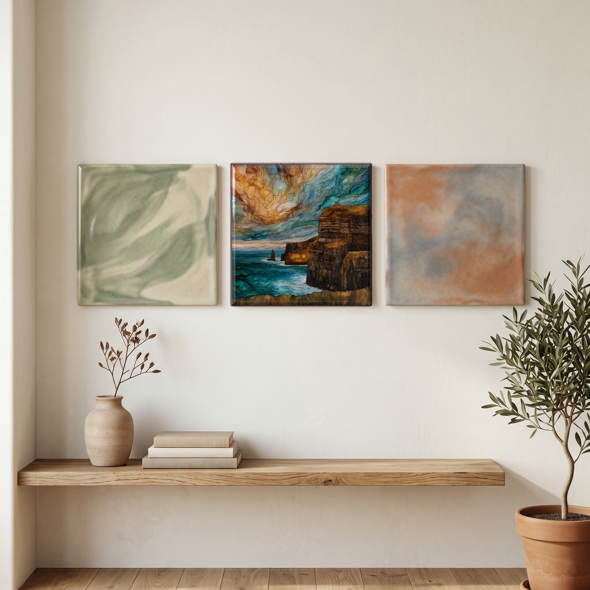
Cliffs of Moher, on ceramic.
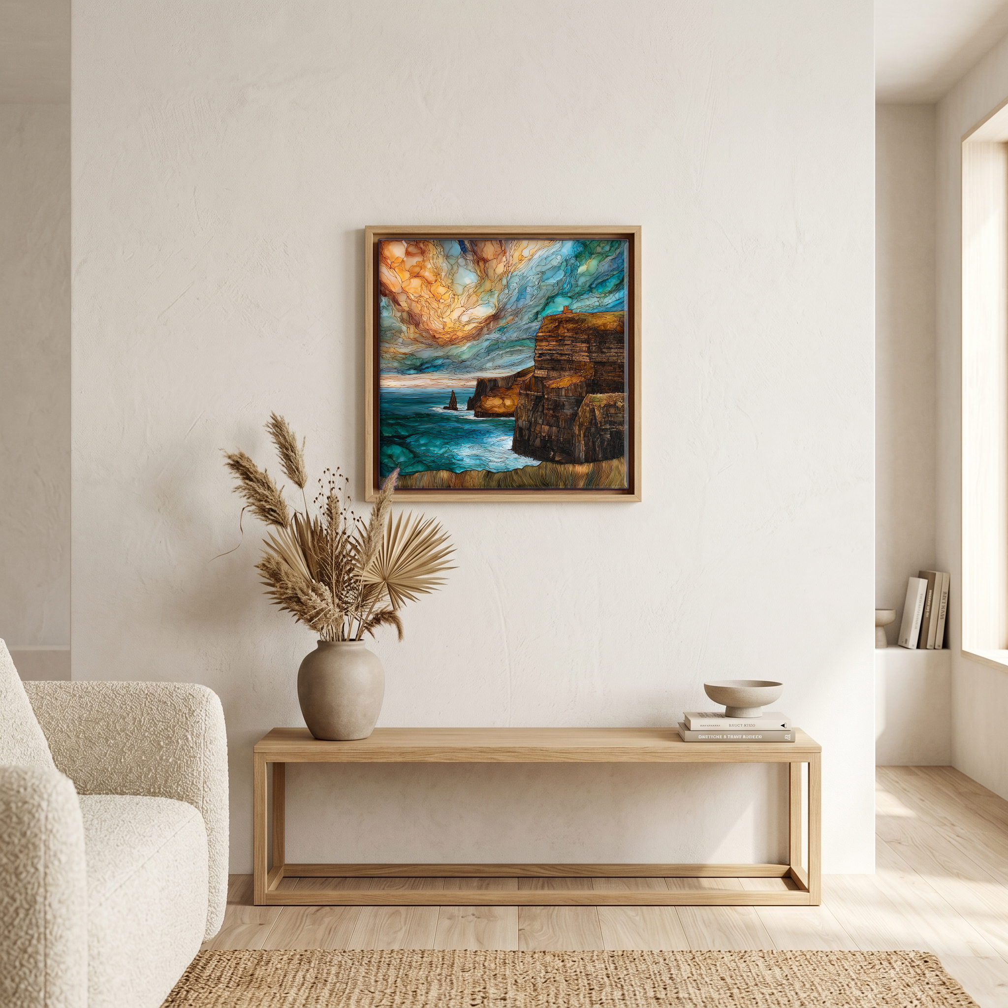
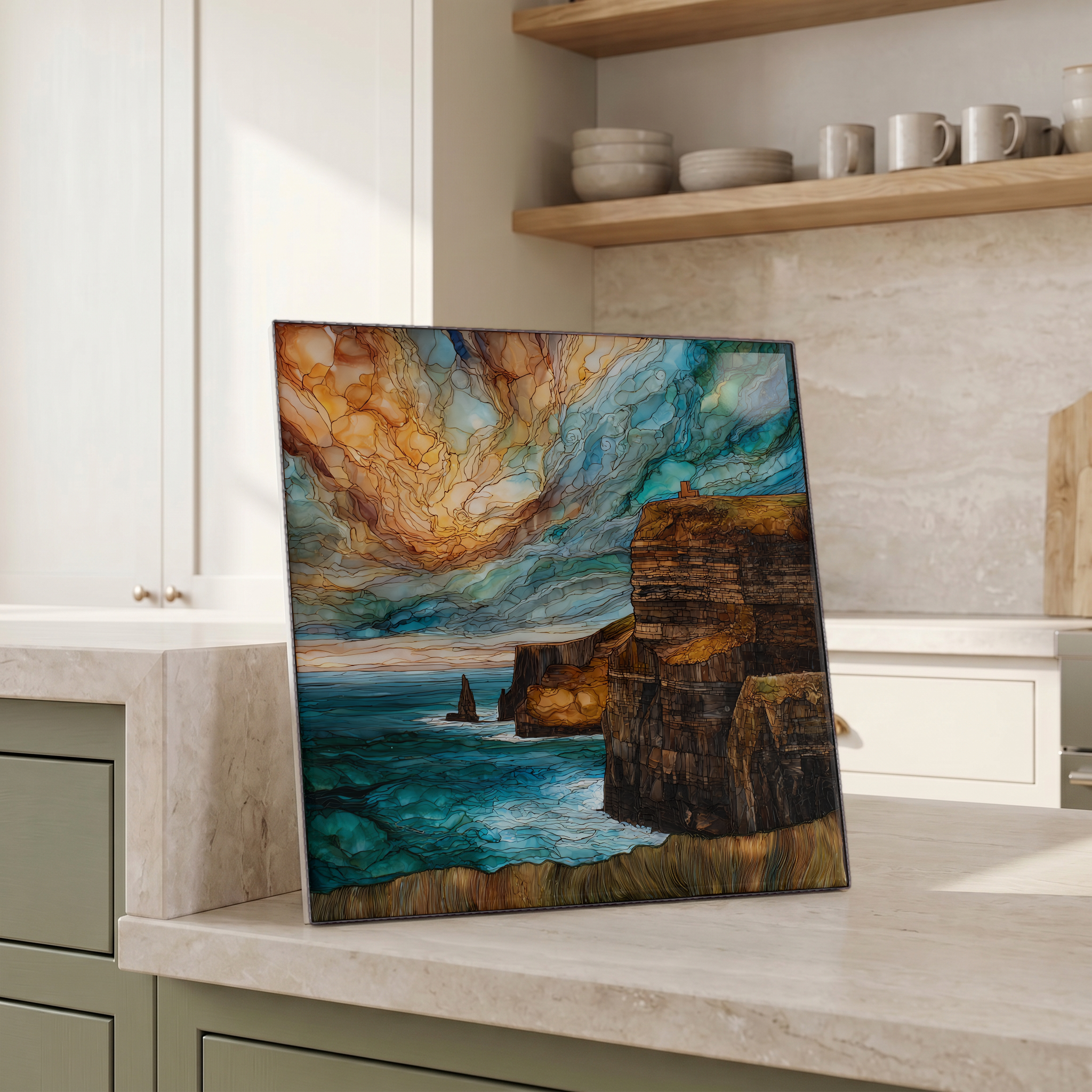
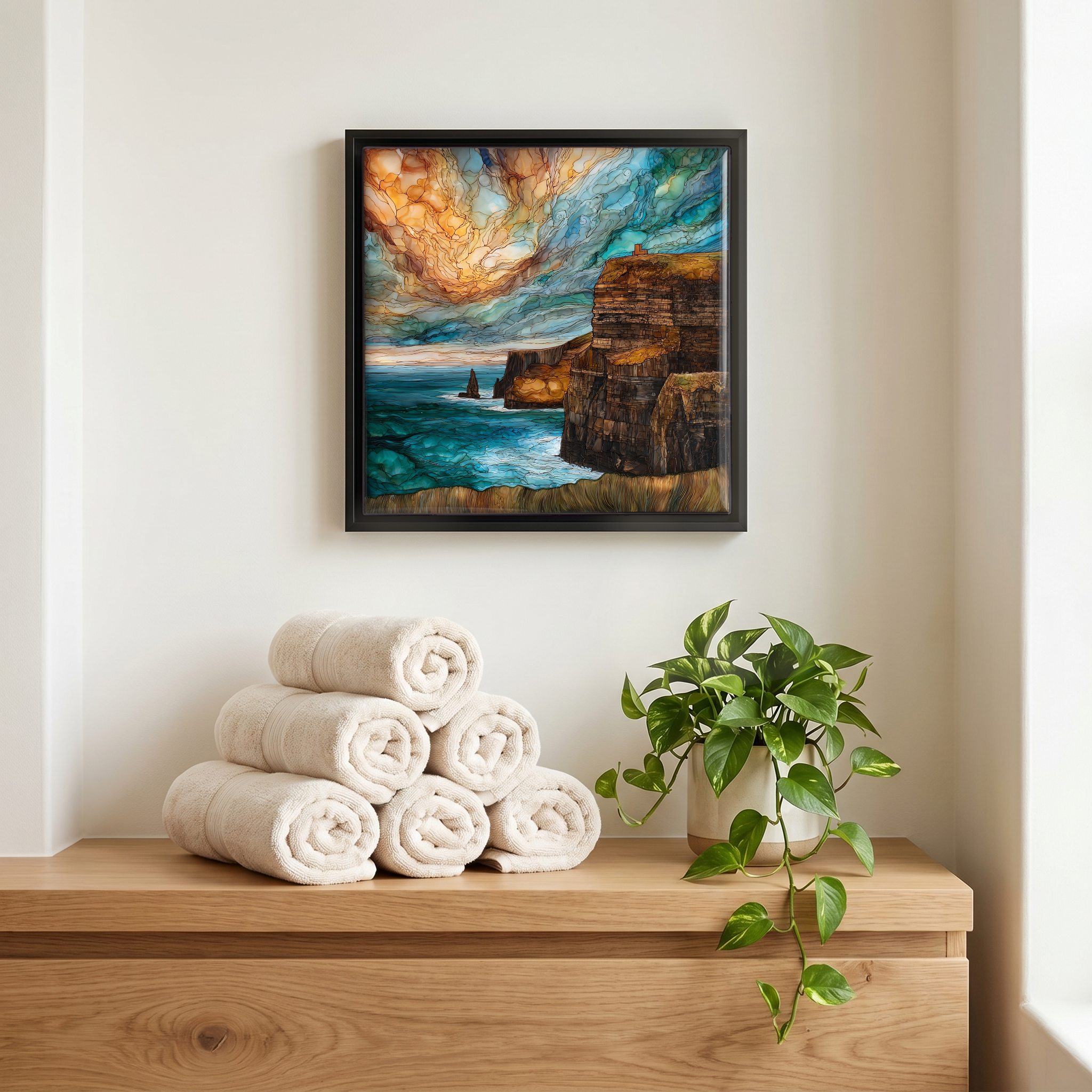
Each tile is finished by hand in our Knoxville studio. Artwork is slowly infused into the ceramic surface under high heat and pressure, and rests beneath a thin glossy finish. The colour lives in the surface, not on top of it.
Pick any four 4-inch tiles — National Parks you've been to, a Smokies set, the four seasons of one place. $ for a set of , cork-backed, ready to live on the table.
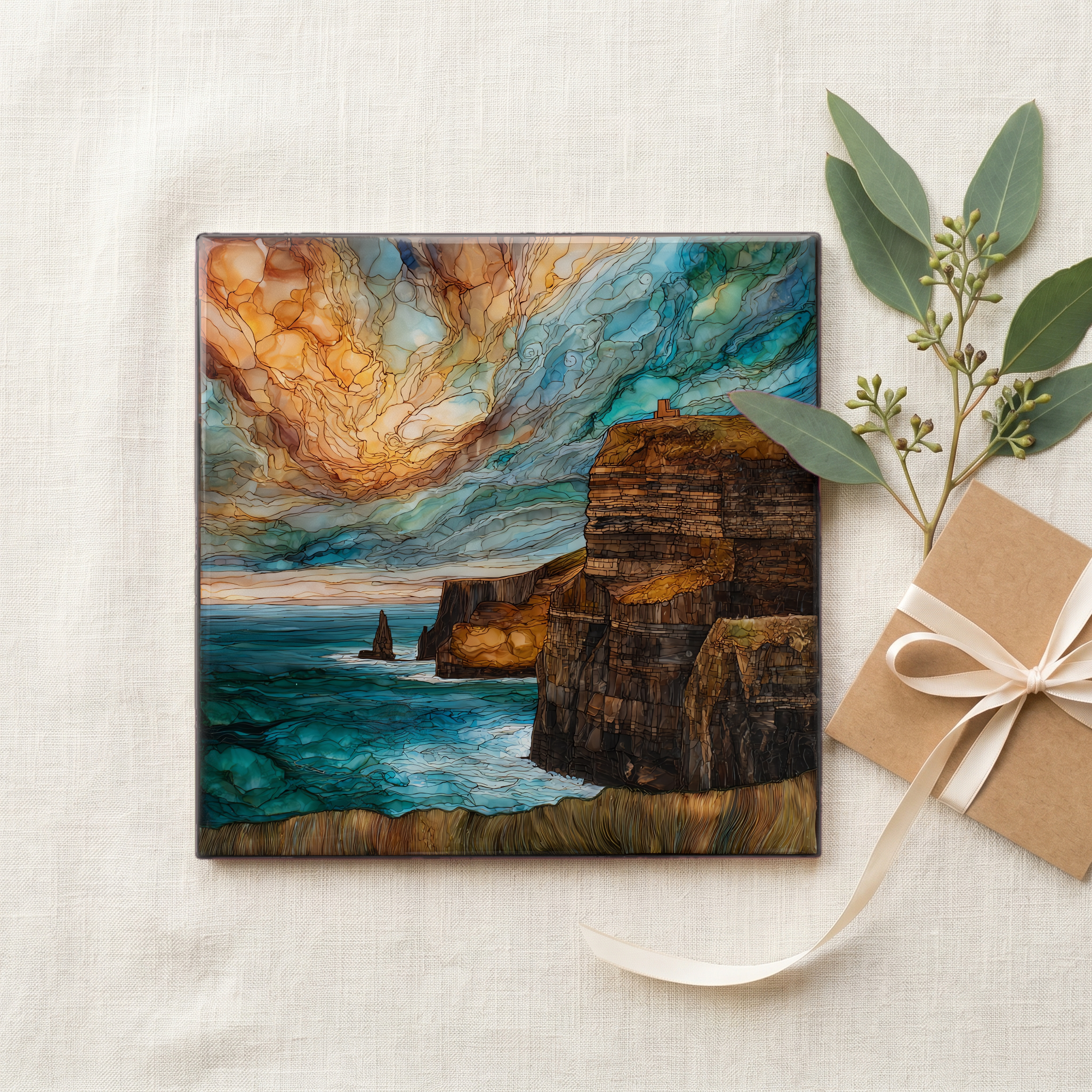
Each tile ships in a kraft box, tied with cream ribbon, with a handwritten note from the studio if you'd like to add one.
Three or five different vistas, hung together — a chapter of places you've been, or want to go.
The place, in three passes.
The Cliffs of Moher run roughly 14 kilometres along the western edge of County Clare, between Hag's Head to the south and the headland above Doolin to the north. The rock is mostly Namurian-age shale, siltstone, and sandstone, laid down in a river-delta system more than 300 million years ago [Burren and Cliffs of Moher UNESCO Global Geopark]. The high point, at a headland called Knockardakin just north of O'Brien's Tower, reaches about 214 metres above the Atlantic. The visitor centre at the midpoint opened in 2007 [Cliffs of Moher Experience]. From there, a coastal walk runs north toward Doolin and south toward Liscannor, all the way to Hag's Head.
The cliff face exposes a vertical reading of the late Carboniferous: layered shale, siltstone, and sandstone deposited in a vast river delta about 320 million years ago, when this part of what is now Ireland sat near the equator. The Burren and Cliffs of Moher UNESCO Global Geopark documents the sequence in detail. Branaunmore, the sea stack standing in the water just below O'Brien's Tower, is a leftover of the same beds, separated from the cliff by Atlantic erosion working at the weaker shale interlayers. The rock continues to retreat. Sections of the cliff path are reset and re-fenced every few years as the edge moves inland.
The clearest weather usually comes May through September, though weather off the Atlantic can turn any afternoon. Atlantic puffins return to the headland in late March or early April to nest in burrows along the grassy cliff tops and on the small islet just offshore; most are back at sea by early August. Razorbills, guillemots, fulmars, and kittiwakes share the ledges through the same window. The longest light comes in June, when sunset over the Atlantic falls near 10 p.m. Ireland time. Winter visits are open but unpredictable: high winds close sections of the cliff walk every year.