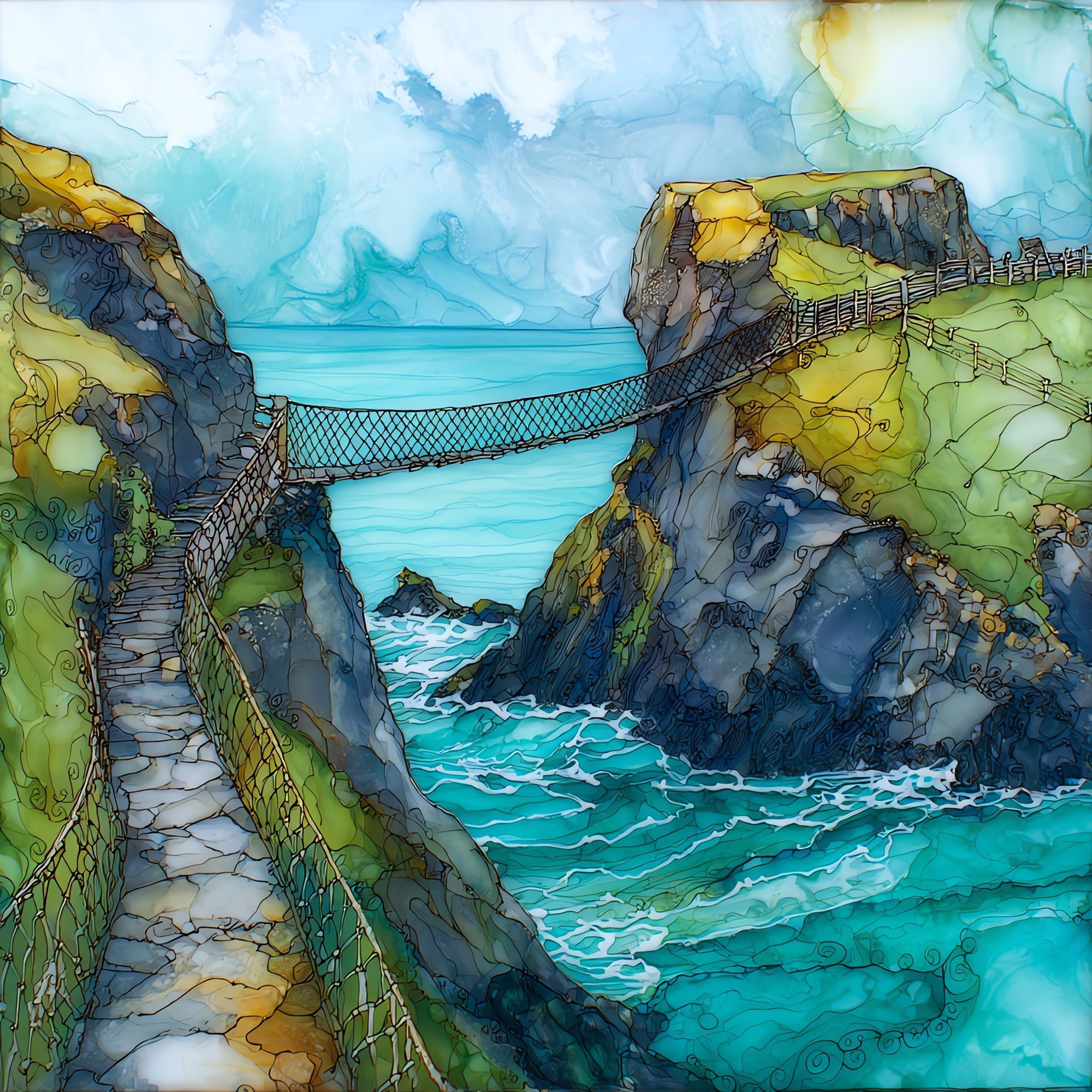
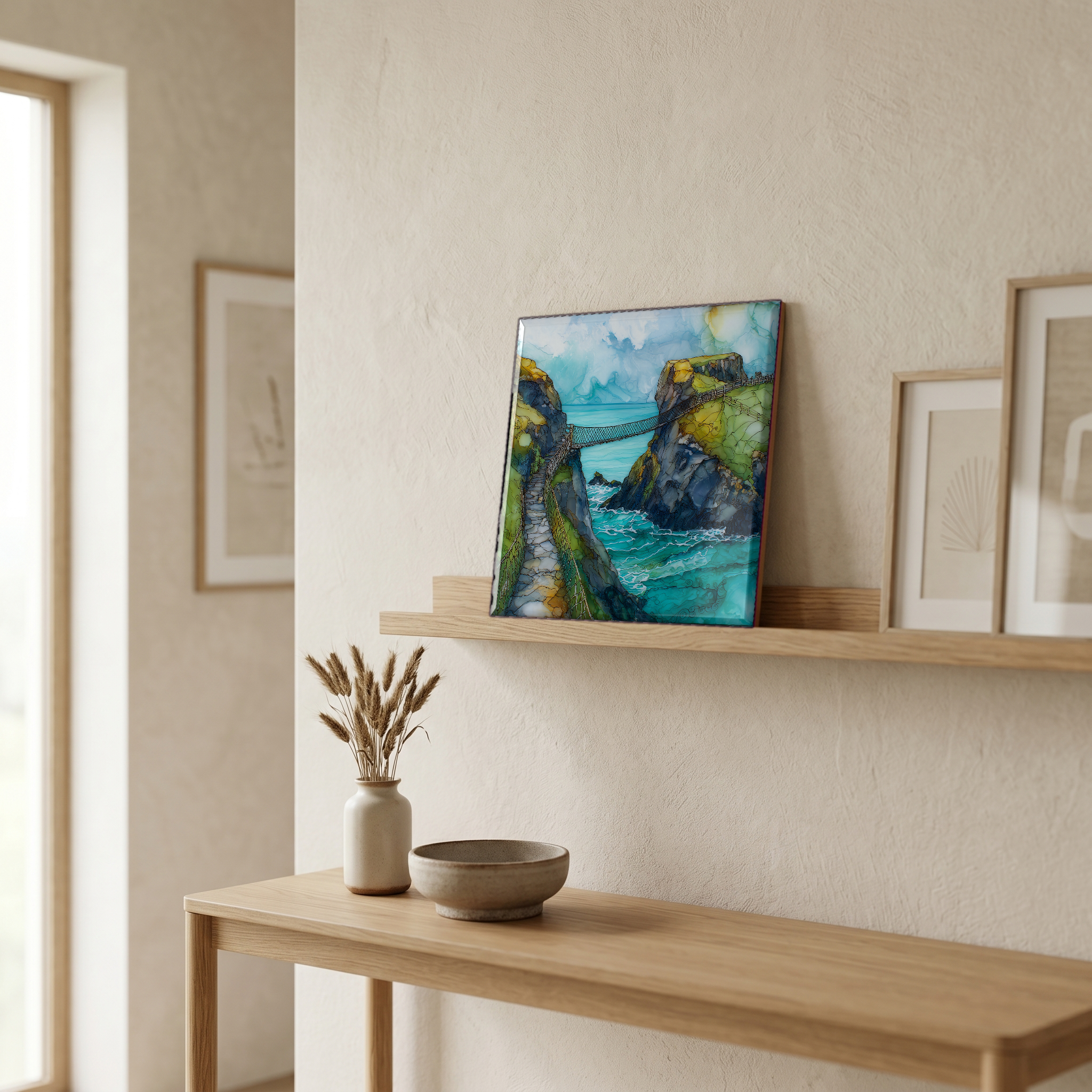
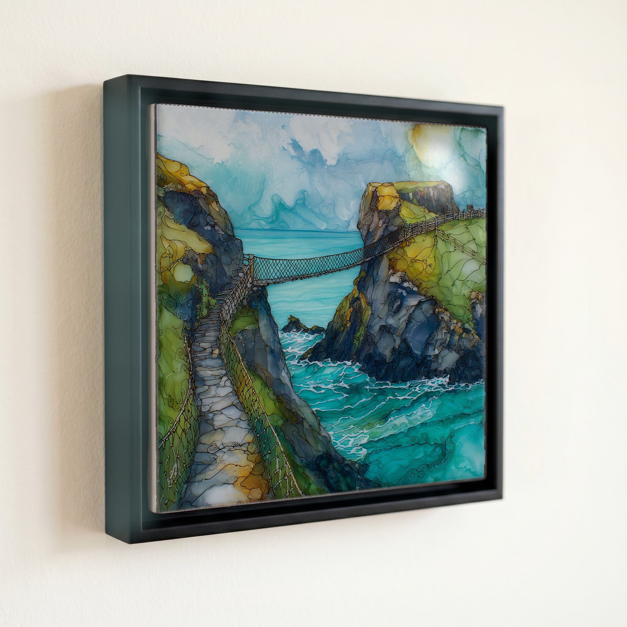
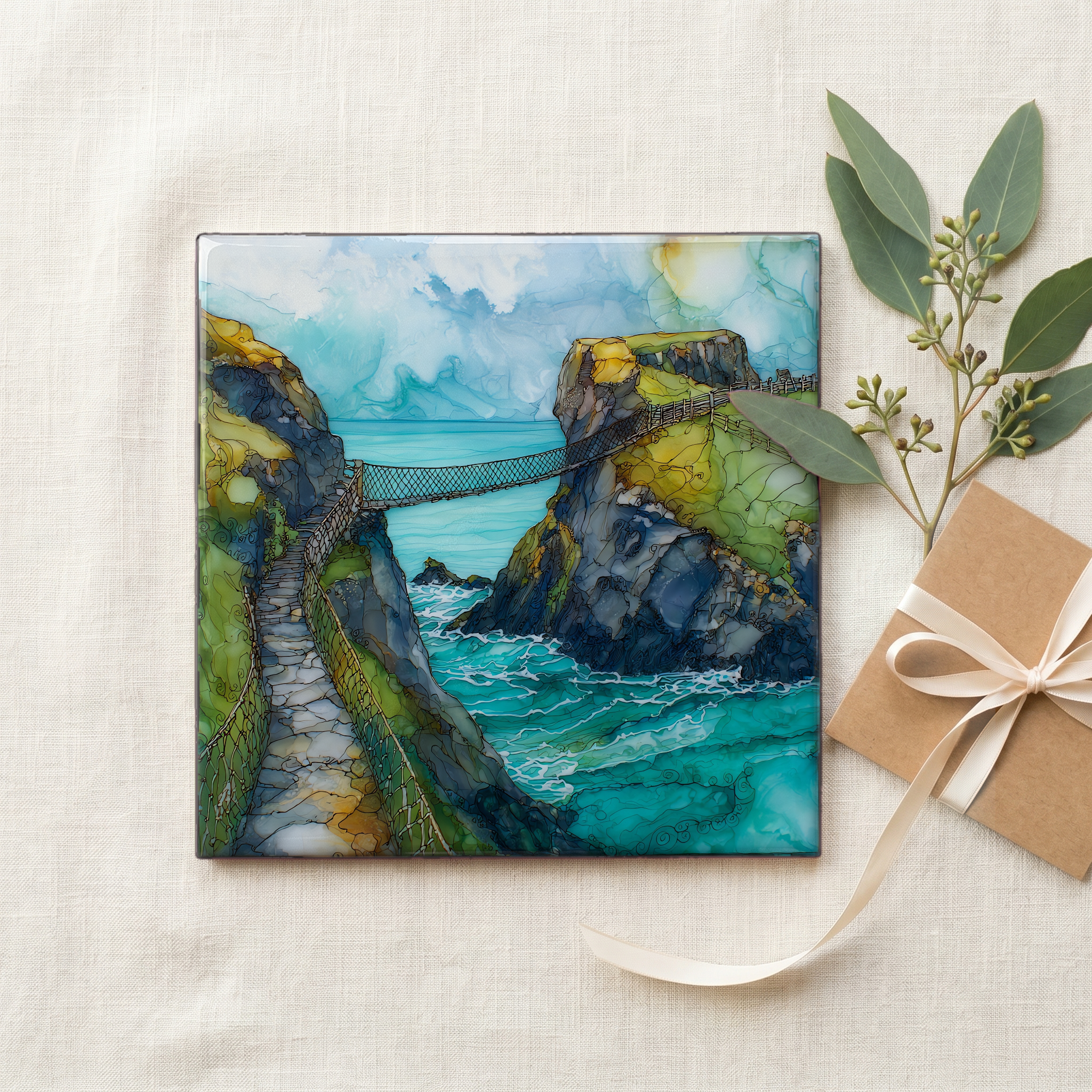
Carrick-a-Rede
— — a rope above the chasm, above the sea.
Not only on a wall.

“A small volcanic island just off the cliffs of north Antrim, reached by a rope bridge slung twenty metres across and thirty above the sea. Salmon fishermen first strung a rope here in 1755; the fish ran this gap between the headlands, and the men needed a way out to the island to set their nets. The salmon are gone now, since the early 2000s. The bridge is still here. The National Trust runs it on timed entry; the wind closes it some days. On a still afternoon the sea is loud below.
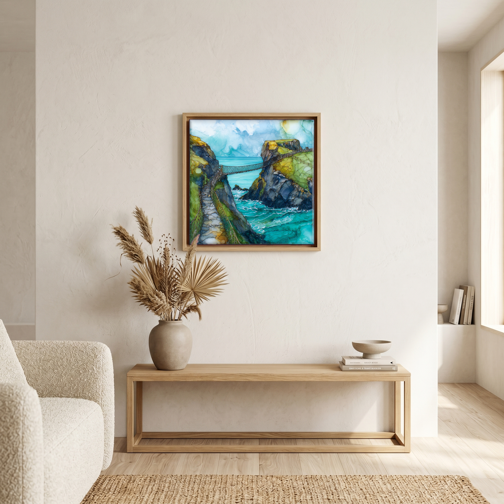
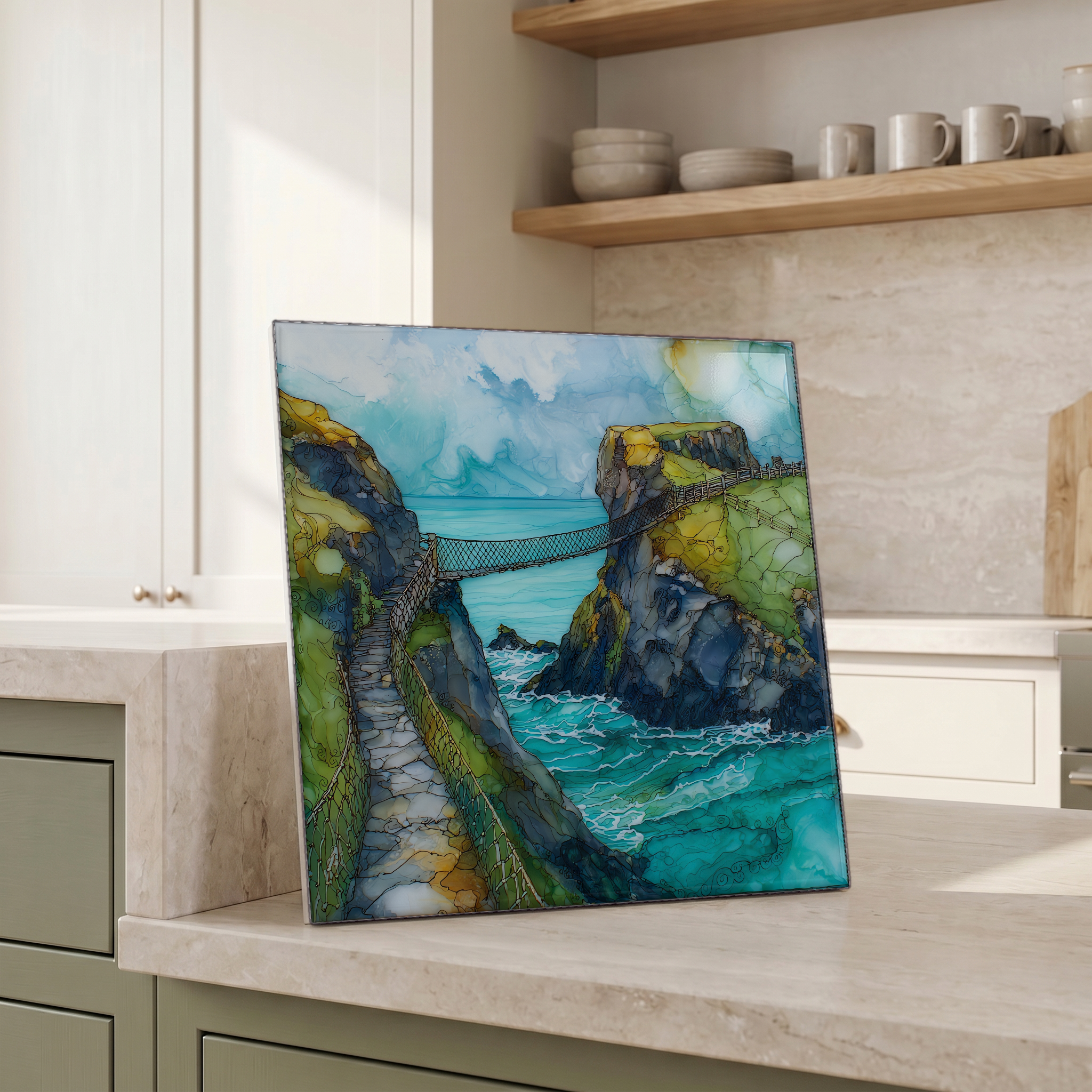
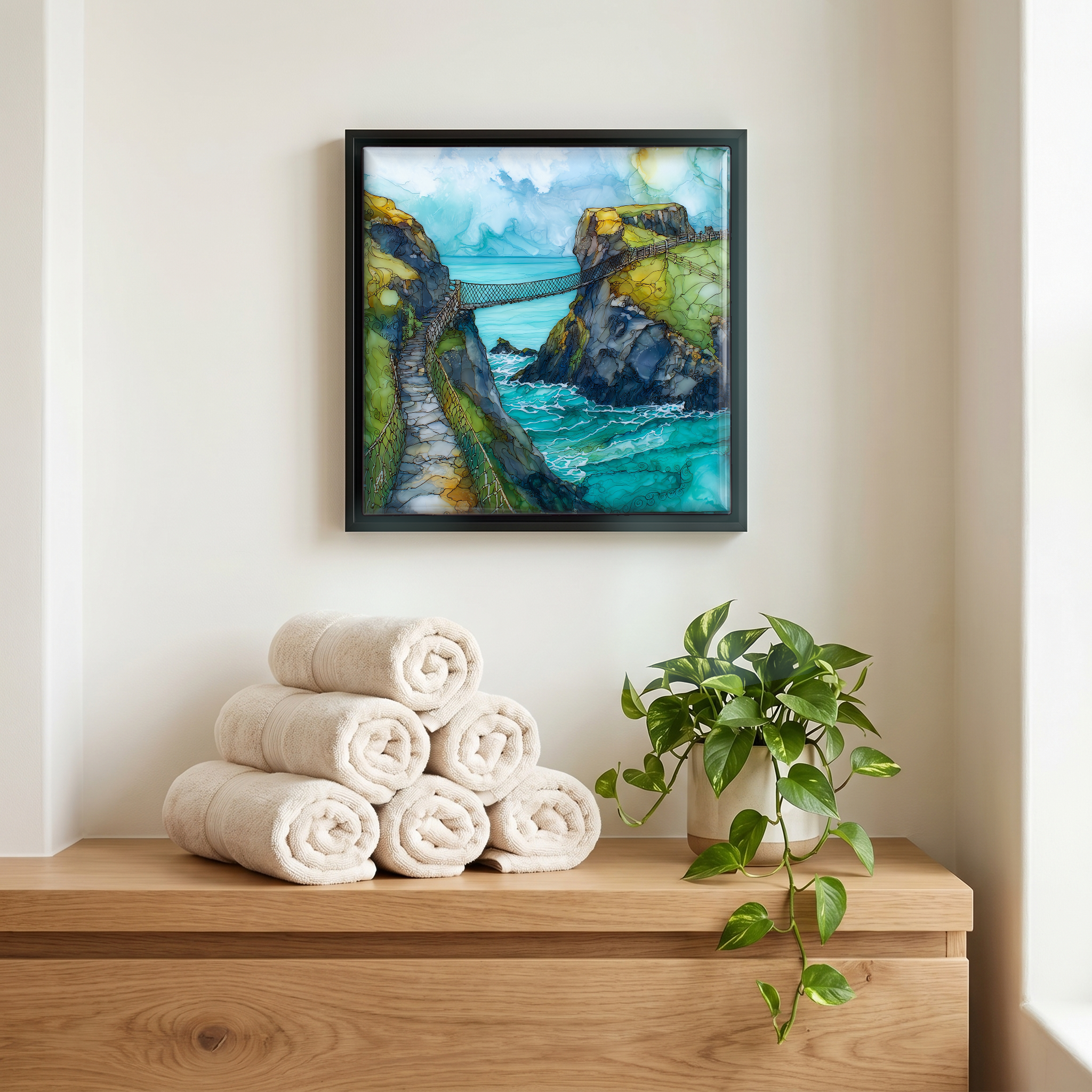
Carrick-a-Rede, on ceramic.
Each tile is finished by hand in our Knoxville studio. Artwork is slowly infused into the ceramic surface under high heat and pressure, and rests beneath a thin glossy finish. The colour lives in the surface, not on top of it.
Pick any four 4-inch tiles — National Parks you've been to, a Smokies set, the four seasons of one place. $ for a set of , cork-backed, ready to live on the table.
Each tile ships in a kraft box, tied with cream ribbon, with a handwritten note from the studio if you'd like to add one.
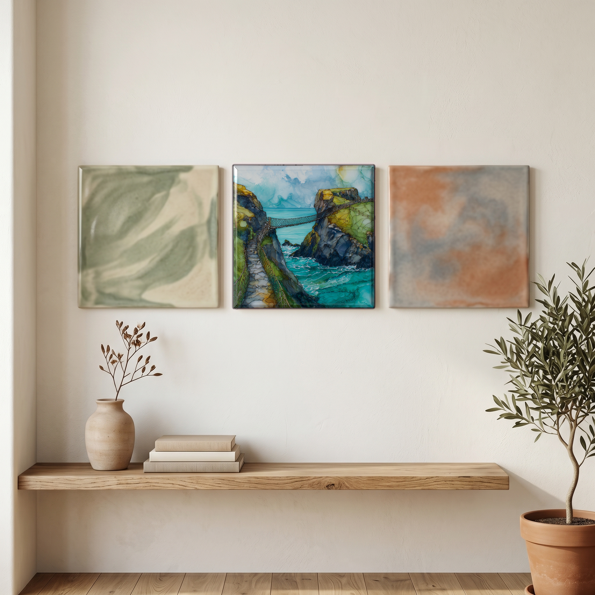
Three or five different vistas, hung together — a chapter of places you've been, or want to go.
The place, in three passes.
Carrick-a-Rede is the site of a rope bridge that connects a small volcanic island, Carrickarede, to the cliffs of the north coast of County Antrim, Northern Ireland. The chasm between them runs roughly twenty metres wide and about thirty metres deep. Fishermen first strung a rope across the gap in 1755; the current bridge was installed in 2008. The site sits within the Causeway Coast Area of Outstanding Natural Beauty, about thirteen kilometres east of the Giant's Causeway and just east of Ballintoy Harbour. It is owned and managed by the National Trust. A walking path of roughly one kilometre runs along the clifftop from the visitor car park out to the bridge head.
The little island of Carrickarede is a volcanic plug, the eroded remains of a vent active around sixty million years ago, during the Paleogene period that gave the Antrim coast its basalt cliffs and the hexagonal columns of the Giant's Causeway down the road. The same igneous activity built the Antrim Plateau and Fair Head, and underlies the cliffs as far west as the Inishowen peninsula. The cliffs on either side of the chasm at Carrick-a-Rede are columnar basalt and dolerite; the bridge crosses the gap where weaker rock has eroded out faster than the harder volcanic material on either side. The chasm is the geology of the place written in section.
The site is operated by the National Trust and entry is timed; tickets are booked in advance through the Trust's online system, and the bridge is closed in high winds and severe weather. The walk from the car park out to the bridge runs roughly one kilometre each way along clifftop paths, and the crossing itself permits eight people on the bridge at a time. The bridge is open most of the year, weather permitting; July and August are the busiest months. Sturdy footwear is advised, and the cliff edges are unfenced in places. The Trust reports around half a million visitors a year at the site.