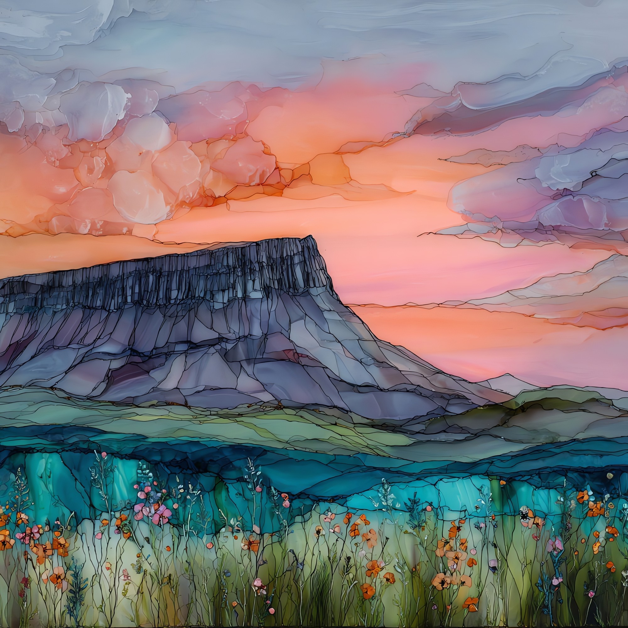
Benbulben
— — a flat-topped mountain combed by rain.
Not only on a wall.
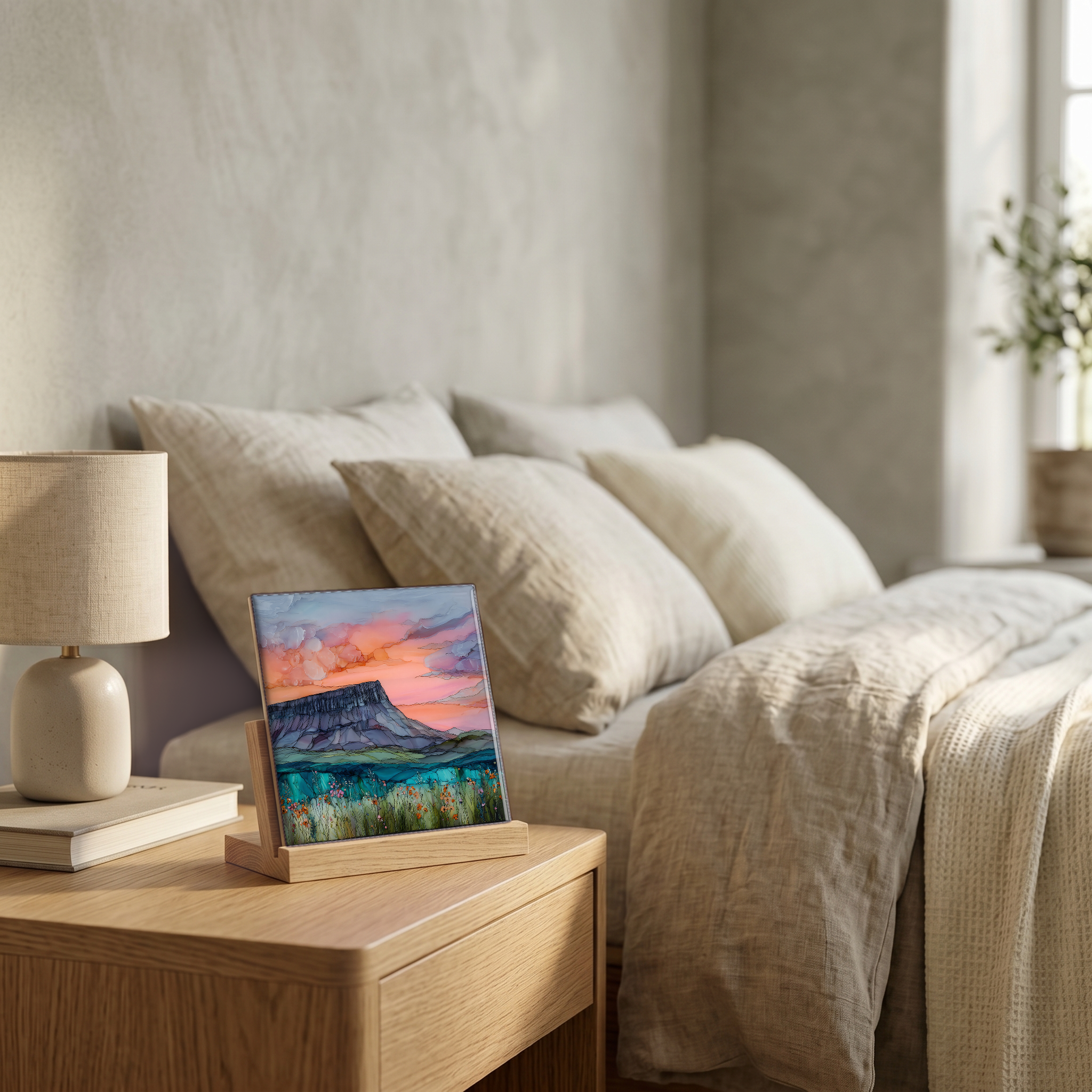
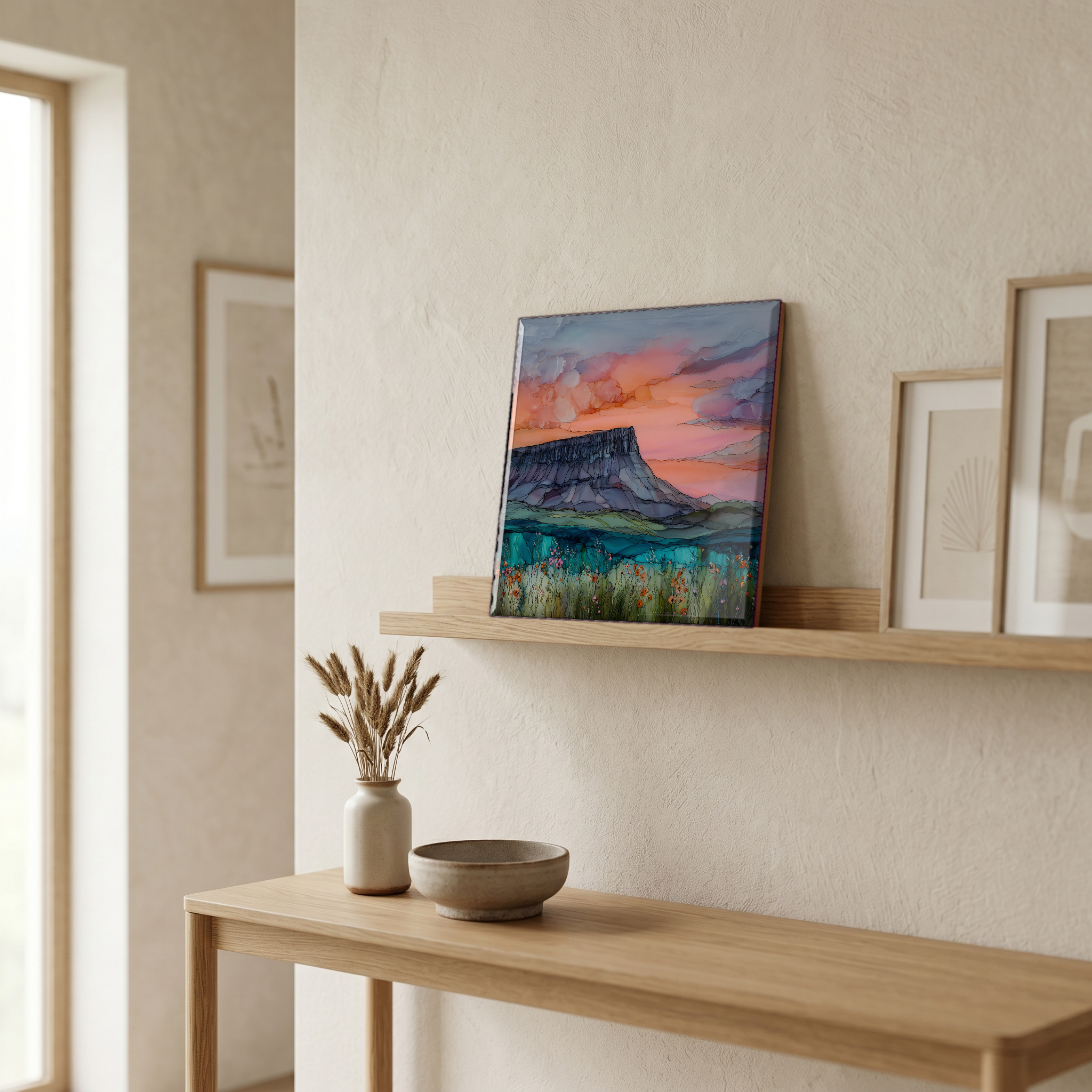
“A flat-topped mountain in northwest Ireland that rises from the County Sligo plain without anything to lean against. The west face is grooved like organ pipes. Water and ice have been working at the limestone for ten thousand years. W.B. Yeats is buried at its foot, in Drumcliffe churchyard, by his own request. From the N15 the long ridge holds the horizon for most of the drive north. On a grey day the rain runs in the grooves and the whole mountain seems to be moving.
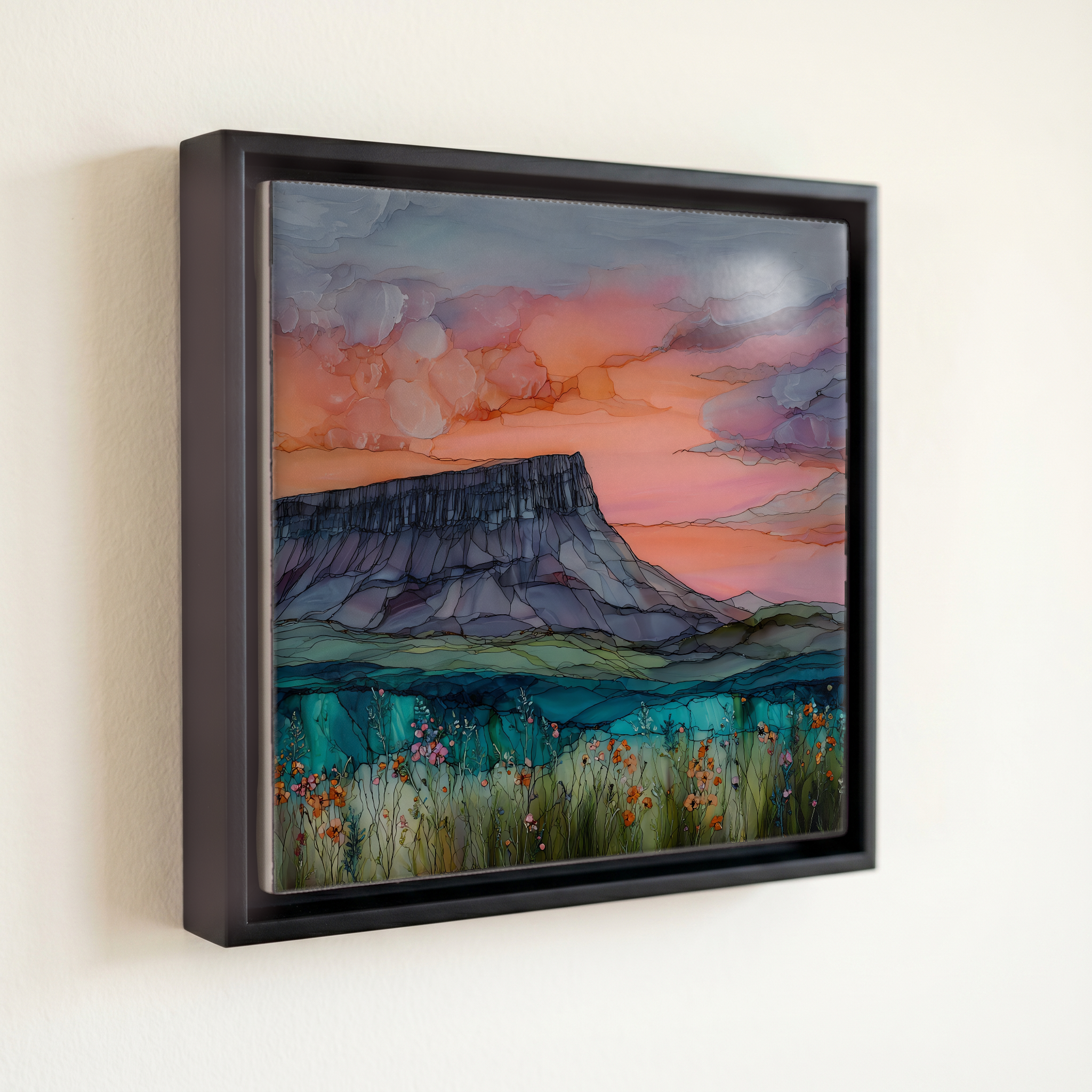
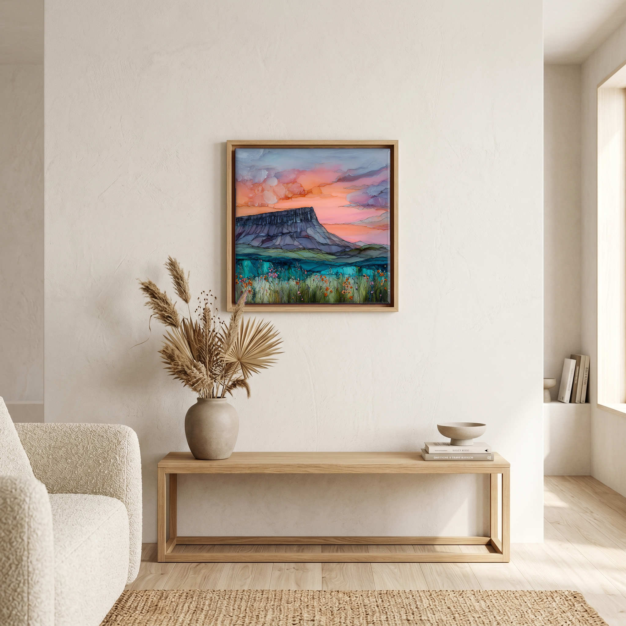
Benbulben, on ceramic.
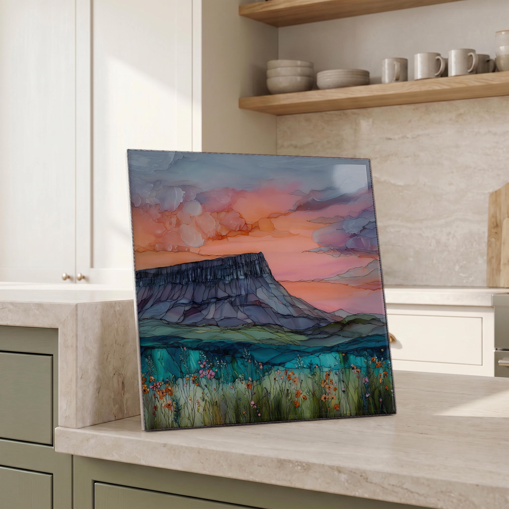
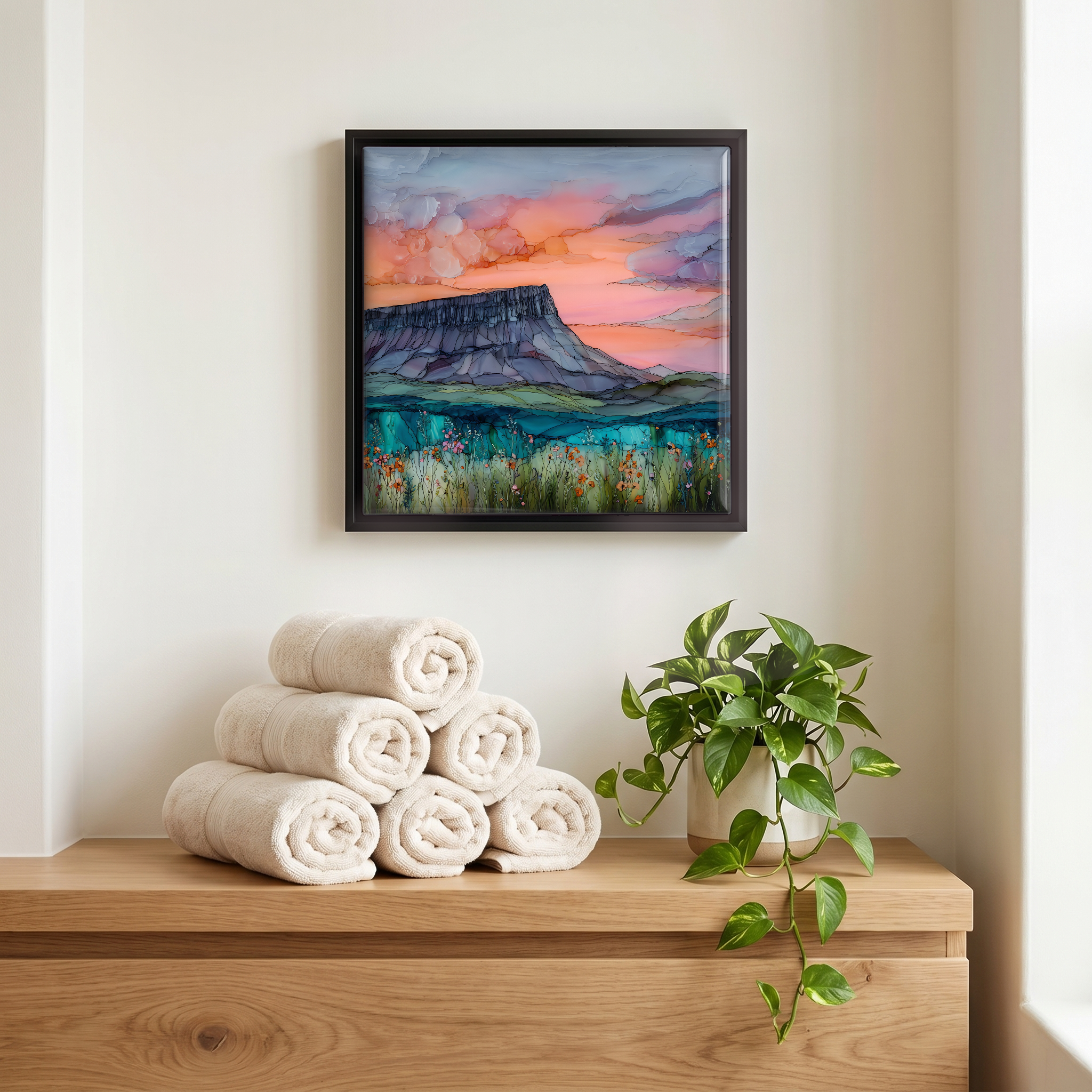
Each tile is finished by hand in our Knoxville studio. Artwork is slowly infused into the ceramic surface under high heat and pressure, and rests beneath a thin glossy finish. The colour lives in the surface, not on top of it.
Pick any four 4-inch tiles — National Parks you've been to, a Smokies set, the four seasons of one place. $ for a set of , cork-backed, ready to live on the table.
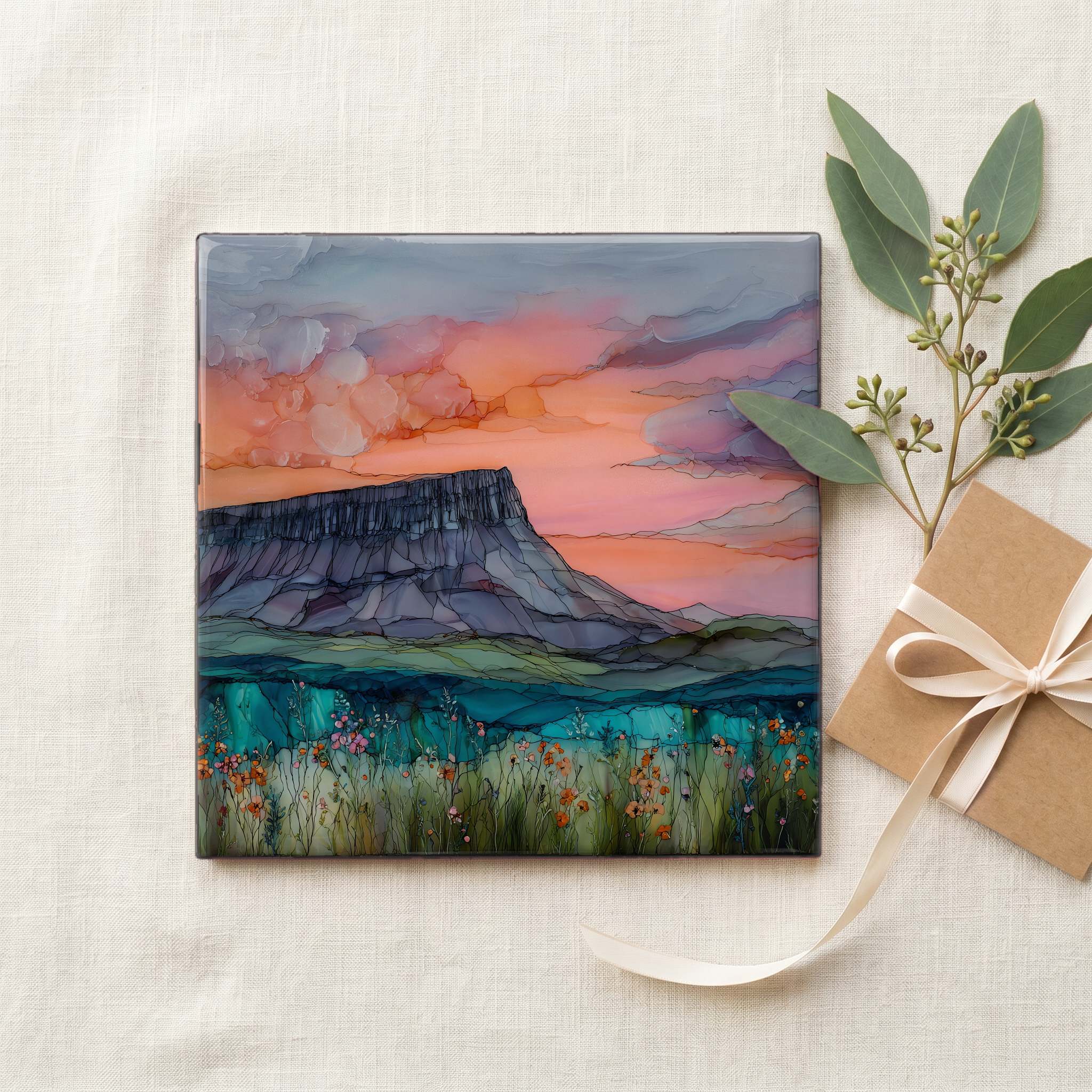
Each tile ships in a kraft box, tied with cream ribbon, with a handwritten note from the studio if you'd like to add one.

Three or five different vistas, hung together — a chapter of places you've been, or want to go.
The place, in three passes.
Benbulben rises 526 metres (1,726 feet) above the County Sligo plain in northwest Ireland, the most distinctive summit of the Dartry Mountains. It sits about 20 kilometres north of Sligo town and a short drive from the Atlantic coast at Mullaghmore. The mountain is reached by minor roads off the N15, and the Gleniff Horseshoe Loop circles its northern flank through a glaciated valley walled with limestone cliffs. At the foot of the mountain, the village of Drumcliffe sits beside the churchyard where W.B. Yeats is buried. The headstone bears the lines he wrote for it. The mountain dominates every road approach for kilometres.
The mountain is built from limestone and shale laid down on a tropical sea floor some 320 million years ago. A cap of harder Glencar limestone protects a softer layer of Benbulben Shale beneath, which is why the summit reads as a flat table while the flanks fall away in vertical grooves. The grooves themselves were cut during the last ice age, when glaciers carved the broad valleys around the mountain and meltwater scored the cliffs from above. The same Dartry Mountains range holds Truskmore, at 647 metres the highest peak in the chain. Many of these summits share the fluted profile, but none reads as plain from a distance as Benbulben.
The mountain is most often approached on the Gleniff Horseshoe Loop, a minor-road drive that begins off the N15 near Cliffony and traces a glacial valley below the cliffs. A walking route climbs the gentler southern flank; the round trip to the summit takes most walkers four to five hours and is straightforward in fair weather, exposed and dangerous in poor visibility. The west face is closed to walkers without rope and climbing experience. The limestone is loose and the slabs are sheer. The county tourism office advises checking conditions at the Sligo Tourist Office before any summit attempt.