Beaghmore Stone Circles
— — what the peat had been keeping.
Not only on a wall.


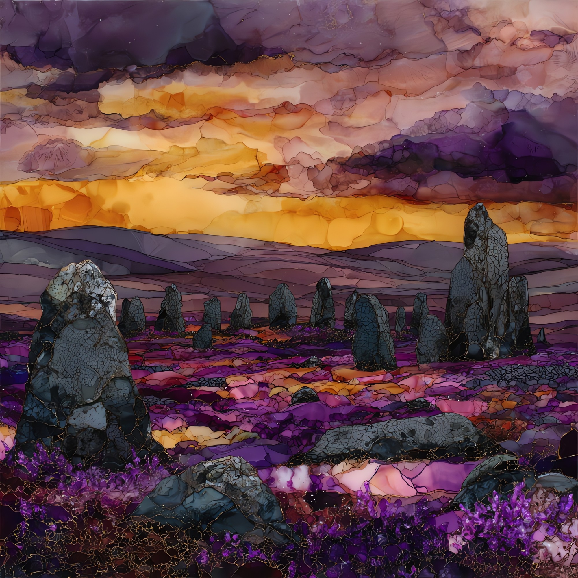
“Seven low stone circles in the foothills of the Sperrin Mountains, ringed by ten alignments and a dozen cairns, on open moor northwest of Cookstown. The bog covered them slowly over the long centuries; peat cutters found the first stones in 1945 and the rest came back over the decade that followed. Most reach no higher than a knee. One circle holds more than 800 small stones inside it; locals call them the Dragon's Teeth. People who walk up there say there is very little to hear beyond wind and sheep.
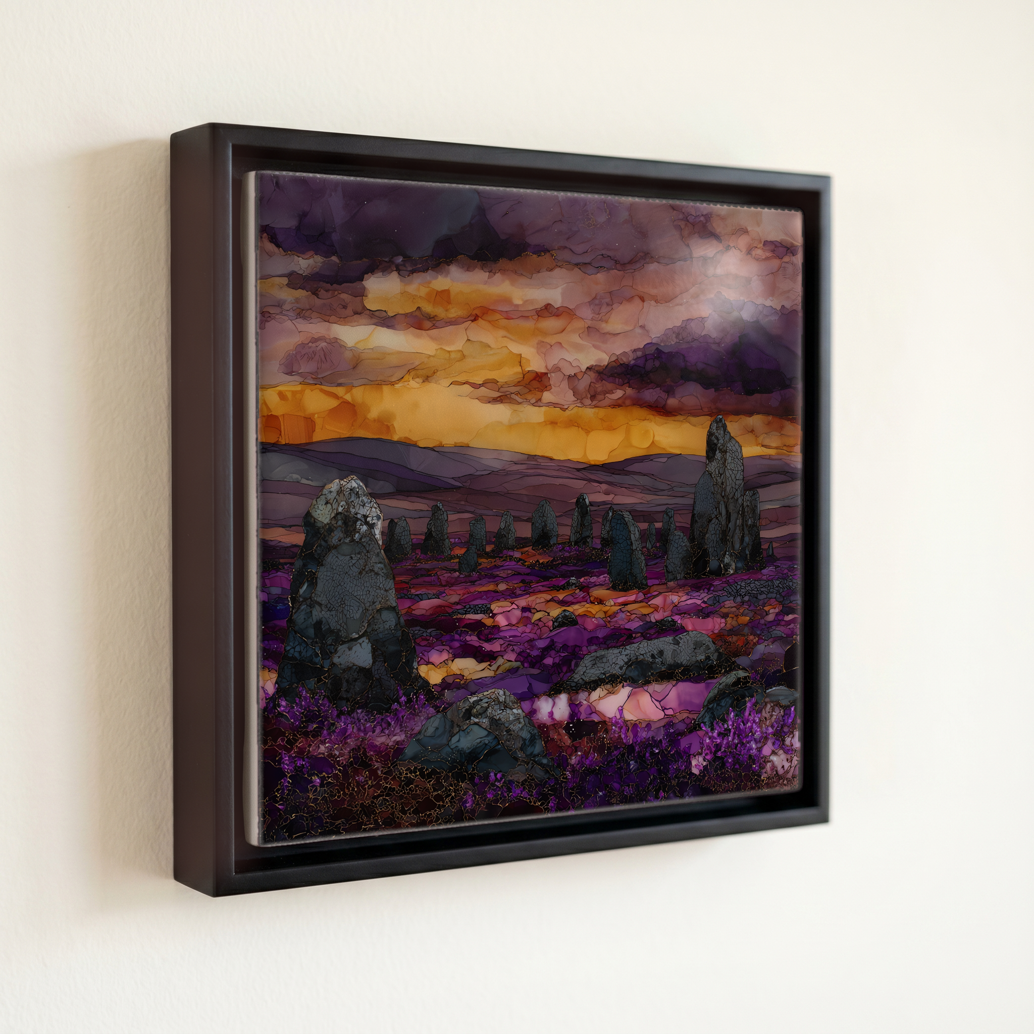
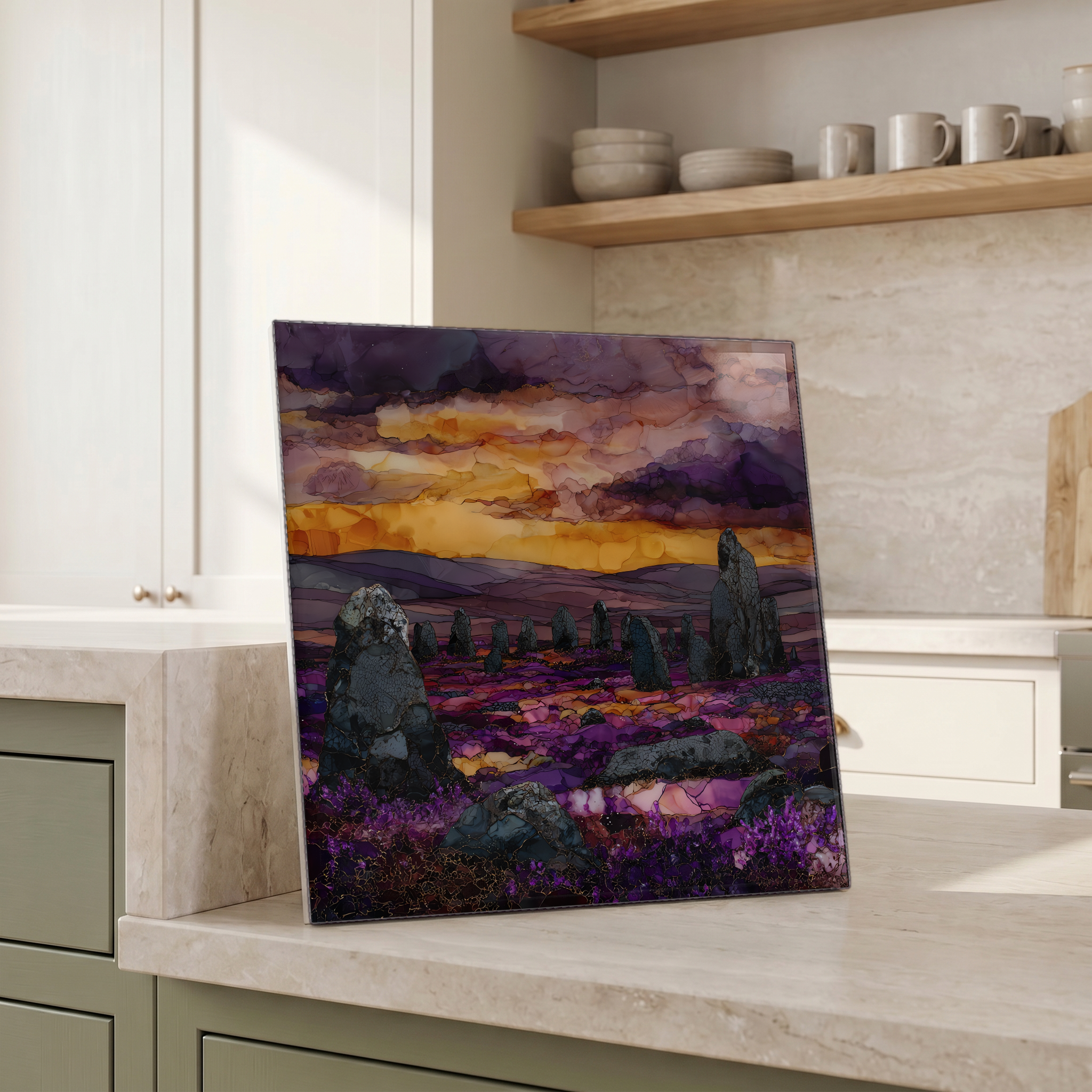
Beaghmore Stone Circles, on ceramic.
Each tile is finished by hand in our Knoxville studio. Artwork is slowly infused into the ceramic surface under high heat and pressure, and rests beneath a thin glossy finish. The colour lives in the surface, not on top of it.
Pick any four 4-inch tiles — National Parks you've been to, a Smokies set, the four seasons of one place. $ for a set of , cork-backed, ready to live on the table.
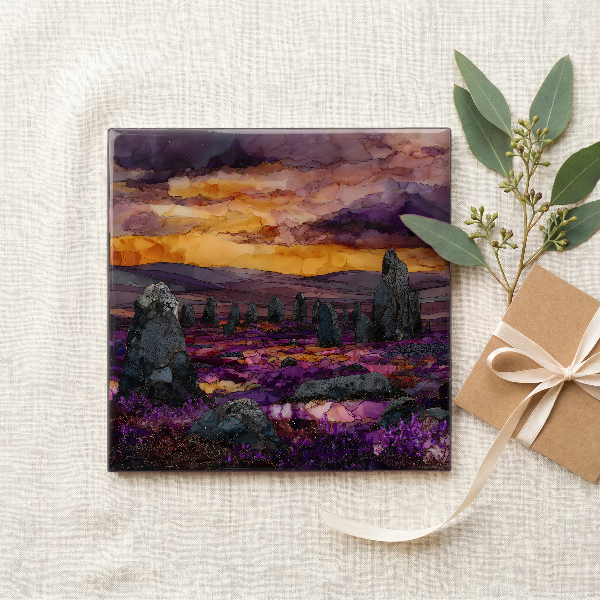
Each tile ships in a kraft box, tied with cream ribbon, with a handwritten note from the studio if you'd like to add one.

Three or five different vistas, hung together — a chapter of places you've been, or want to go.
The place, in three passes.
Beaghmore lies in the foothills of the Sperrin Mountains in County Tyrone, Northern Ireland, around 14 kilometres northwest of Cookstown and roughly 230 metres above sea level. The site is a complex of seven low stone circles, ten stone alignments, and twelve cairns spread across open blanket bog. It is in the care of the Department for Communities Historic Environment Division and sits within the Sperrins Area of Outstanding Natural Beauty. Access is free, by a small layby on the Dunnamore road; the path from the parking area runs flat across the moor for a few hundred metres to the first ring. The site is unstaffed; a single interpretive board carries the only signage on the bog.
The stones at Beaghmore are local dolerite and sandstone, mostly under a metre tall: knee-high or thigh-high, much smaller than the standing stones at Castlerigg or Avebury. The complex was built in phases between roughly 2000 BCE and 1200 BCE, on a land surface that was open and farmed before the climate cooled and the blanket bog began to spread. Six of the circles stand paired; the seventh stands alone and is filled with more than 800 small upright stones, which locals call the Dragon's Teeth. Several of the stone rows run roughly northeast, toward the midsummer sunrise on the Sperrin skyline, a setting first surveyed in the late 1940s by the archaeologist Oliver Davies of Queen's University Belfast.
There is little built infrastructure within several miles of the site: no village immediately around it, no cafe at the gate, no railway nearby. The nearest small towns are Cookstown to the southeast and Omagh to the west, both about a half-hour drive by single-carriageway roads. Walkers on the moor mainly hear wind across the bog, the occasional cry of curlew or skylark, and sheep on the surrounding hill grazing. The neighbouring Davagh Forest was designated an International Dark Sky Park in 2020 by DarkSky International, and the OM Dark Sky Observatory there is about three kilometres from the circles, which says something about how unlit this stretch of the Sperrins still is at night.