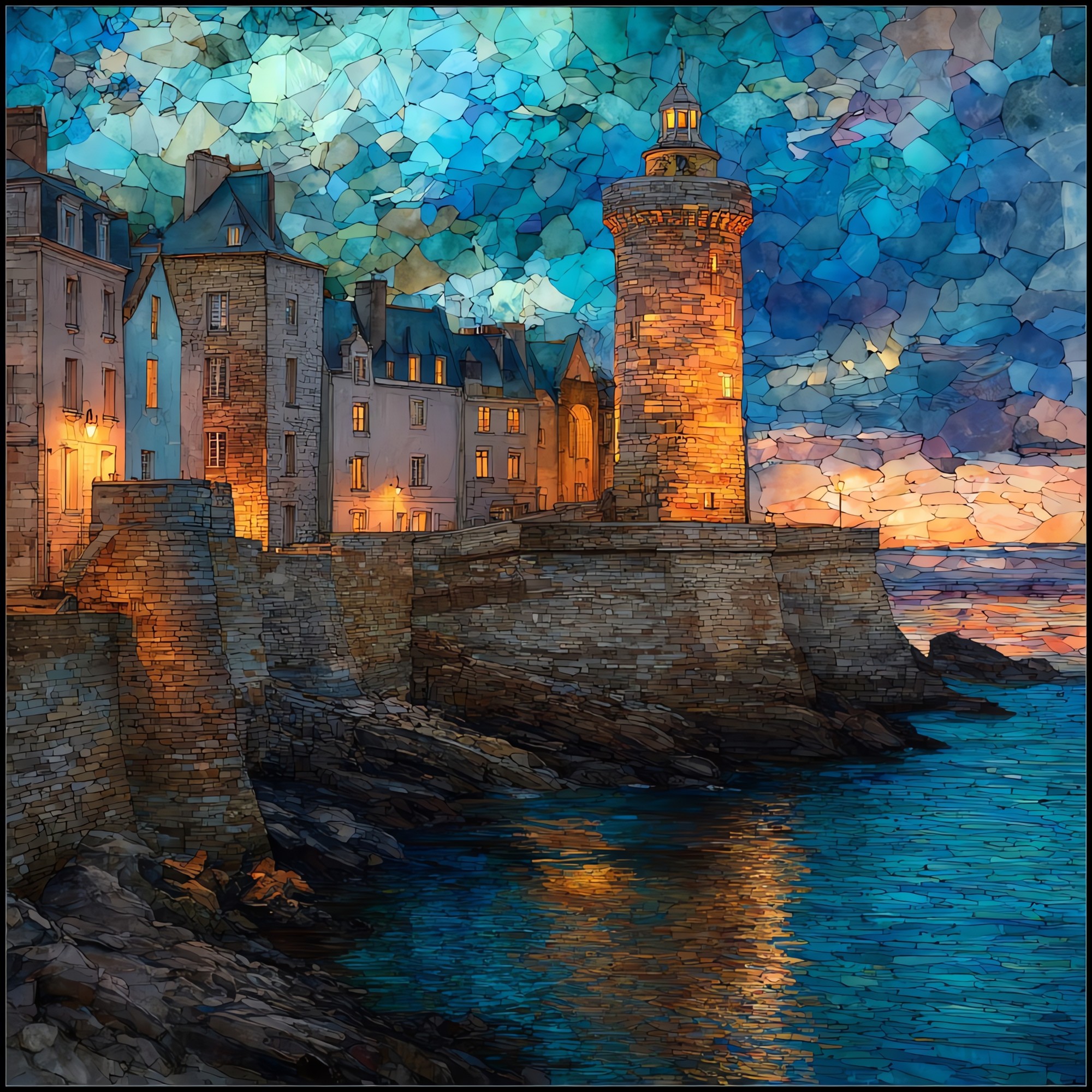
Saint-Malo Ramparts
— a circle of stone above the tide.
Not only on a wall.


“A walled granite city at the mouth of the Rance, on the north coast of Brittany. The full circuit of the ramparts runs about a mile along the top of the city walls, and the loop carries you above the water for most of its length. At low tide the offshore islands become walkable; at high tide the Channel rises to the foot of the wall. Most of the city behind the walls was destroyed in August of 1944 and rebuilt almost stone for stone over the next decade. The walls themselves came through.
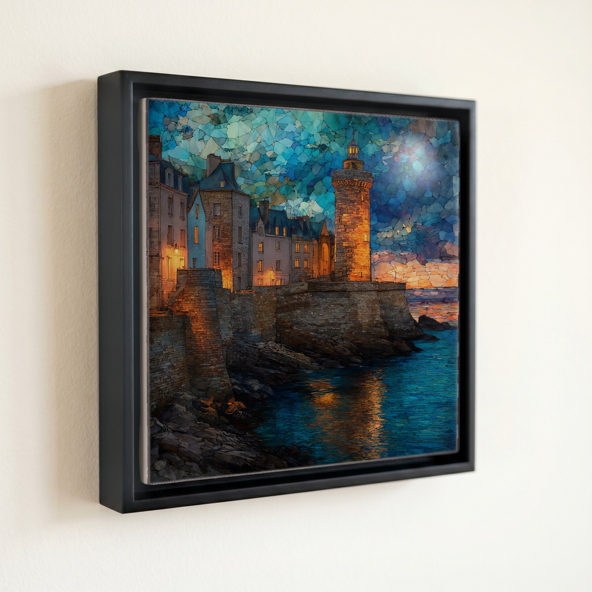
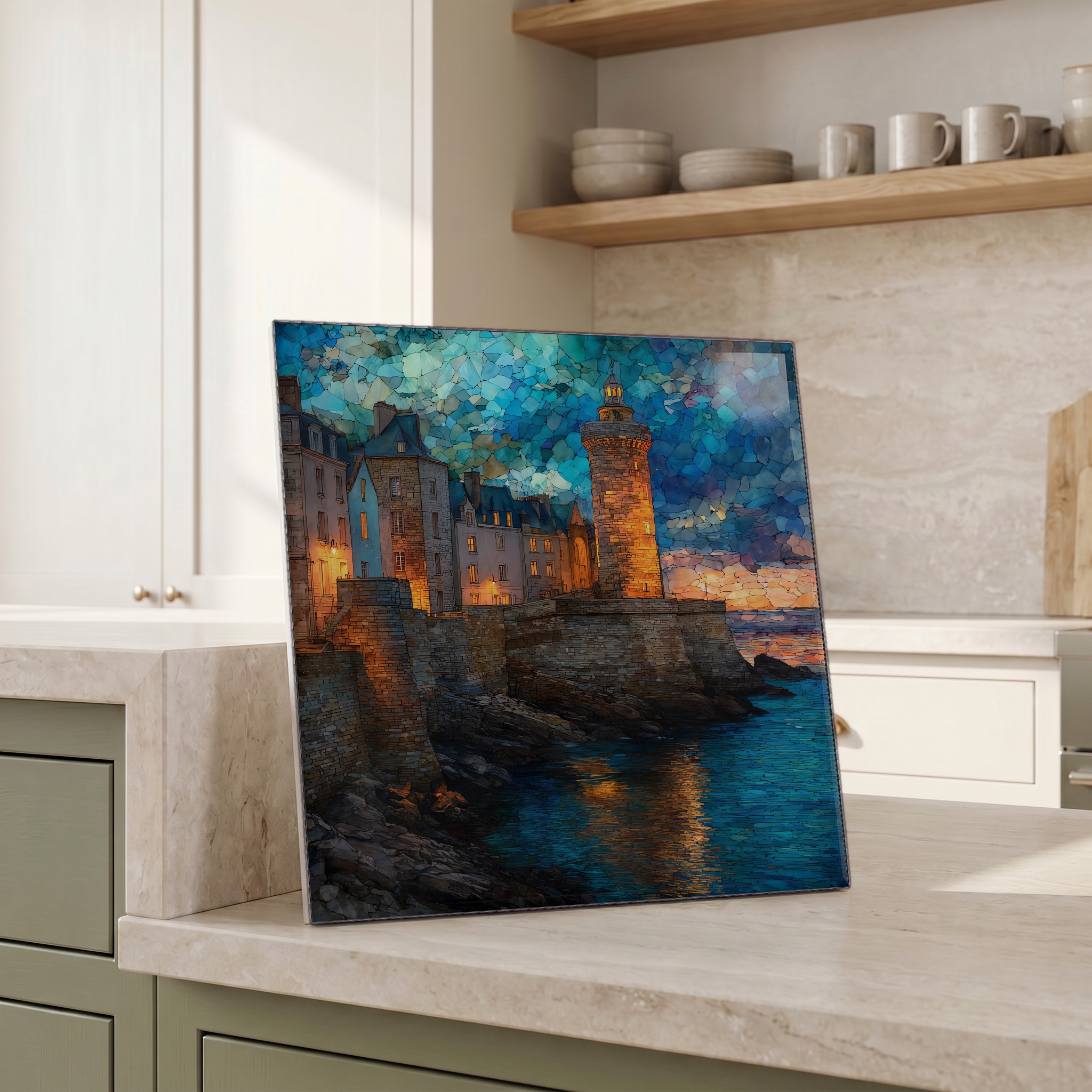
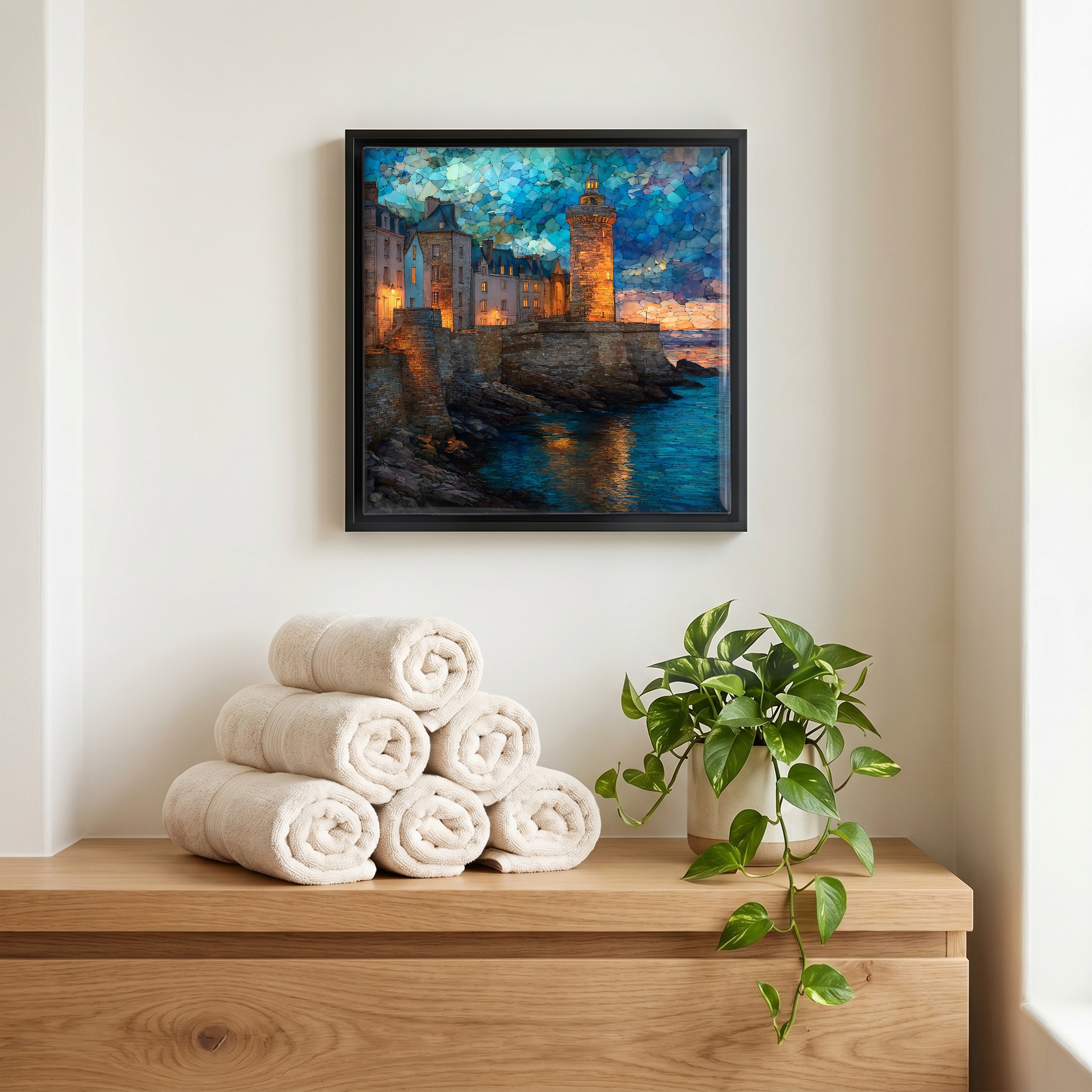
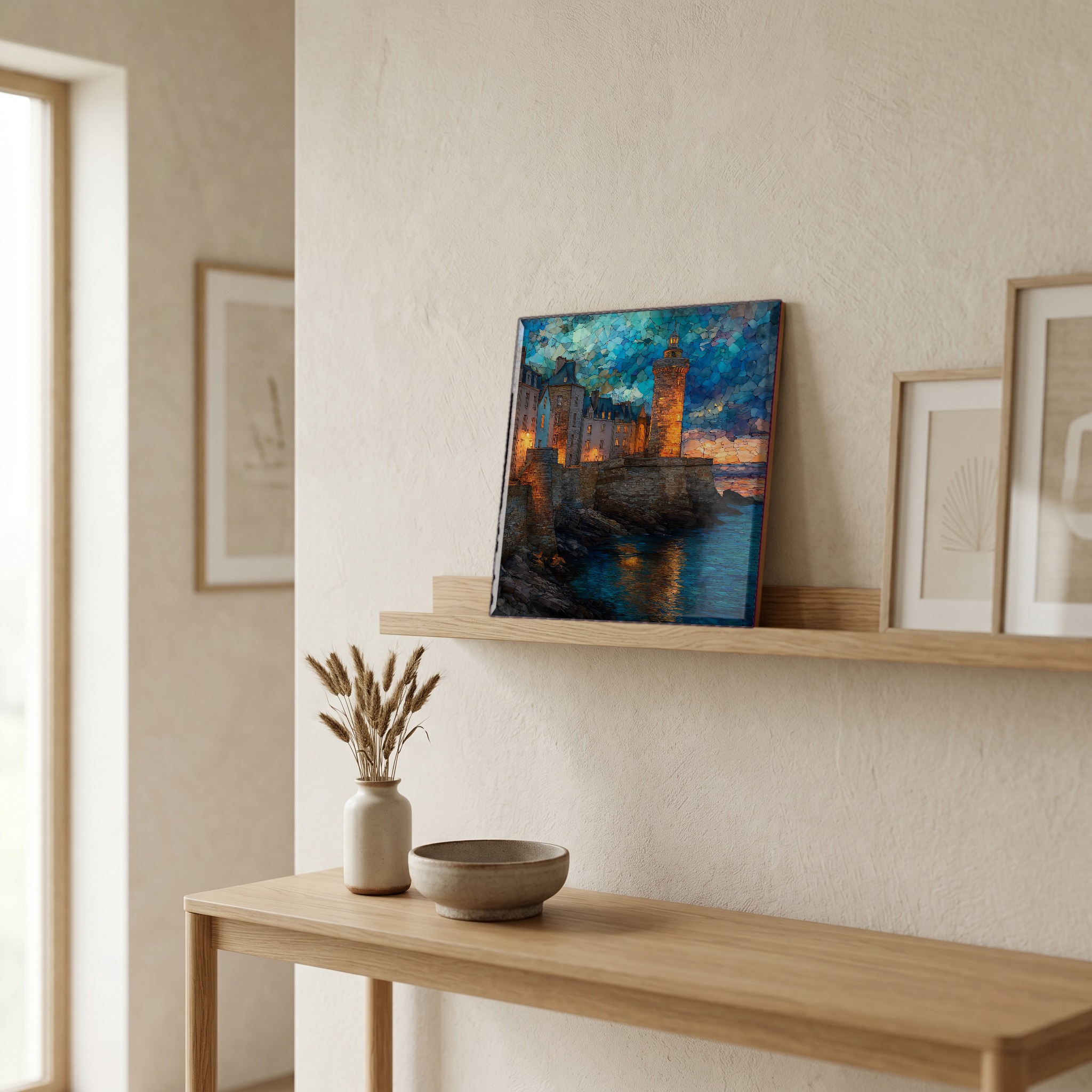
Saint-Malo Ramparts, on ceramic.
Each tile is finished by hand in our Knoxville studio. Artwork is slowly infused into the ceramic surface under high heat and pressure, and rests beneath a thin glossy finish. The colour lives in the surface, not on top of it.
Pick any four 4-inch tiles — National Parks you've been to, a Smokies set, the four seasons of one place. $ for a set of , cork-backed, ready to live on the table.
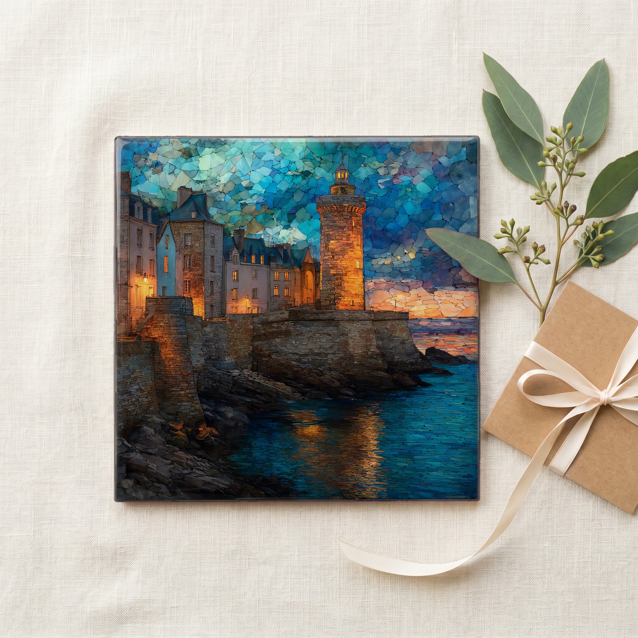
Each tile ships in a kraft box, tied with cream ribbon, with a handwritten note from the studio if you'd like to add one.

Three or five different vistas, hung together — a chapter of places you've been, or want to go.
The place, in three passes.
Saint-Malo sits on the north coast of Brittany, in the Ille-et-Vilaine department, at the mouth of the Rance estuary on the English Channel. The walled old city, called intra-muros, is built on a granite outcrop that was a tidal island for much of its history, joined to the mainland by a narrow causeway called the Sillon. The ramparts encircle this old city in a continuous walkable loop of roughly 1.7 kilometres. Around the walls lie the offshore tidal islands of Grand Bé, where the writer François-René de Chateaubriand is buried, and Petit Bé, with its 17th-century fort. The town today has a population of about 45,000.
The defensive walls were begun in the 12th century by Bishop Jean de Châtillon and extended in stages through the 18th. The most consequential expansion was overseen by Sébastien Le Prestre de Vauban, Louis XIV's chief military engineer, who reinforced the seaward fortifications and added the offshore Fort National in 1689 to guard the harbour. The stone is local Breton granite, grey when dry and silvering when the sea fog comes through. In August of 1944, during the Allied advance, much of the city inside the walls was destroyed by bombing and fire. The reconstruction that followed, largely complete by the early 1960s, rebuilt the houses in their pre-war stone. The ramparts had come through the battle and formed the spine of the city that returned.
The tides at Saint-Malo are among the largest in Europe. The mean spring tidal range here exceeds 12 metres, and the highest equinox tides push past 13. Twice a day the sea retreats far enough to expose the rocky causeways out to Grand Bé and Petit Bé, and twice a day it returns to slap the foot of the wall. The neighbouring Bay of Mont-Saint-Michel, about 50 kilometres east, holds Europe's largest tidal range at roughly 14 metres. The 17th-century Fort National, sited on a tidal islet just off the ramparts, is reachable on foot only at low water. The yacht basin in the harbour stays usable through a sea lock that traps water at high tide.