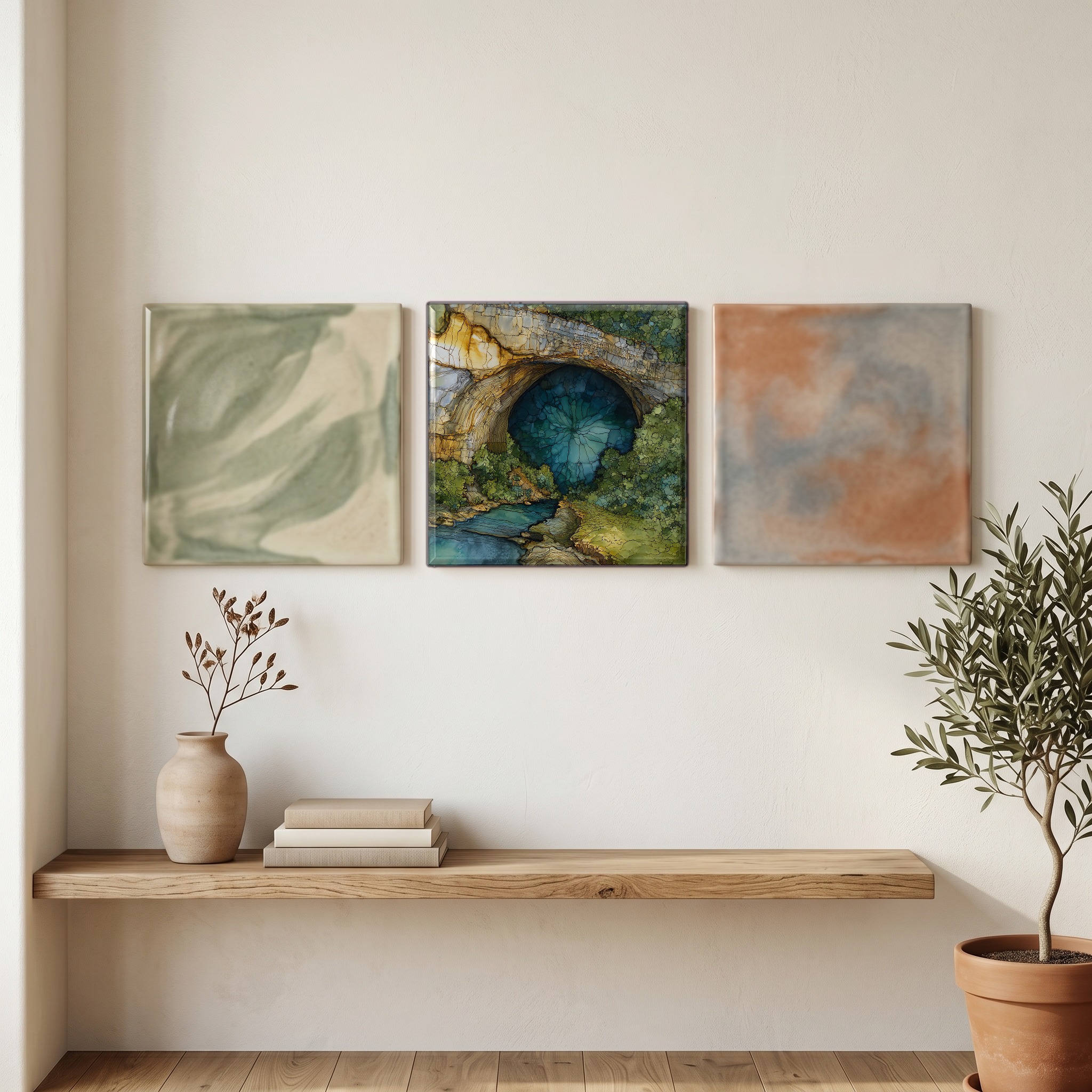
Gouffre de Padirac
— — the circle of green sky, seen from far below.
Not only on a wall.
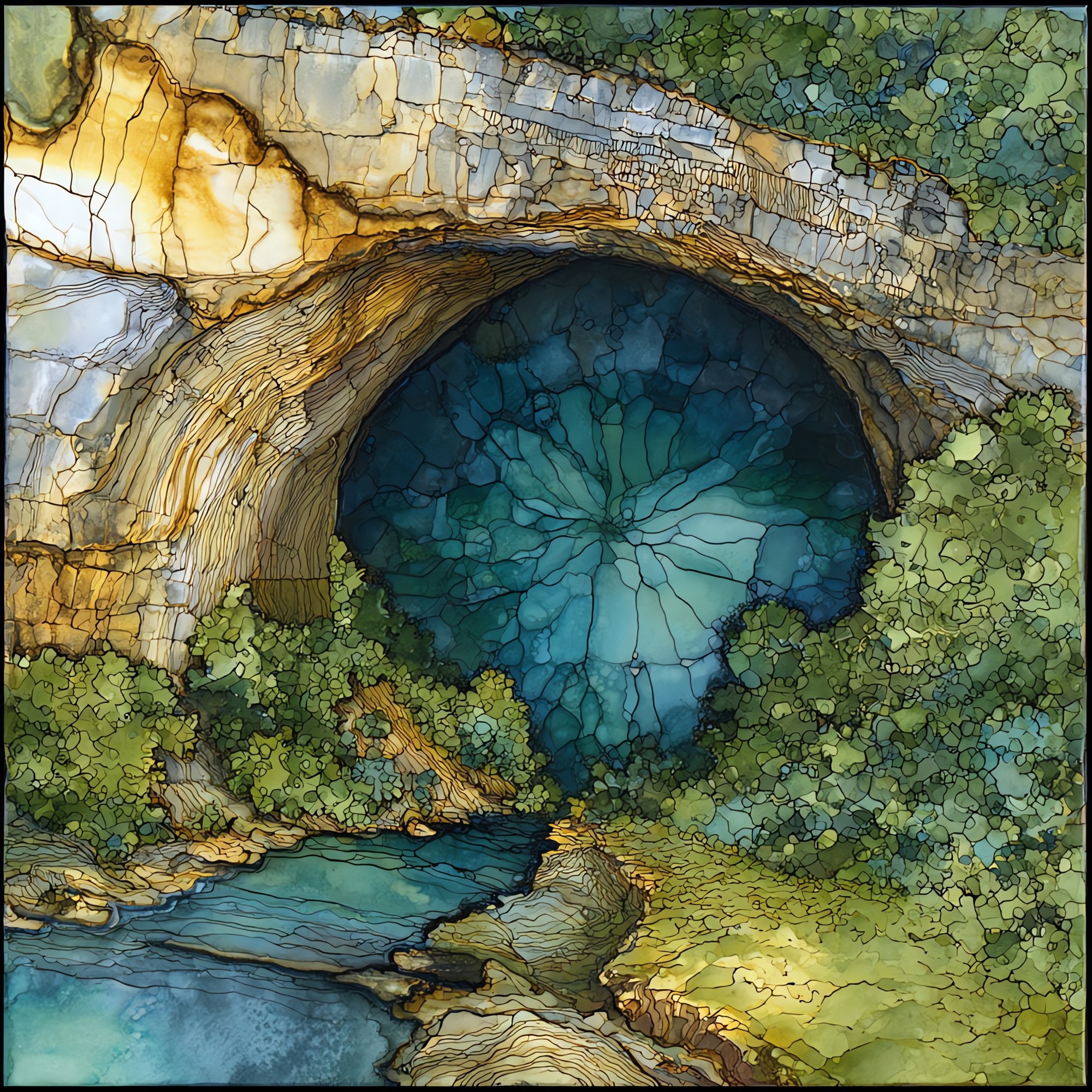
“A chasm in the Quercy plateau, north of Cahors, where the limestone opens on ferns and cold air. The descent runs seventy-five metres from the rim to the underground river, by stairs or by lift. From there a flat-bottomed boat moves along the slow Plain River, past the Great Stalactite, into a domed chamber that rises ninety-four metres above the water. The water is clear and cold. Above it the rock holds a kind of cathedral hush. Tickets are timed; the season closes in November and reopens with the spring.
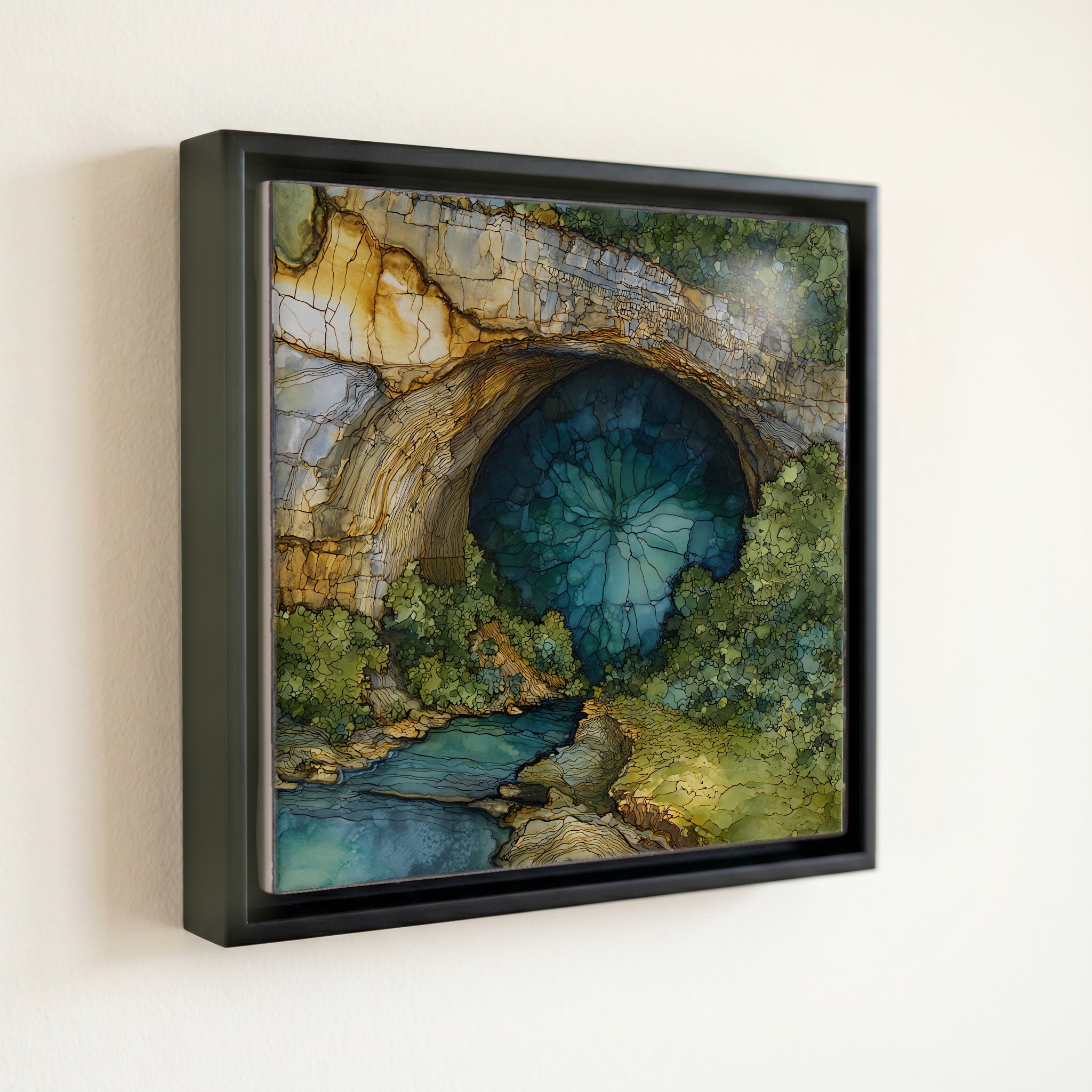
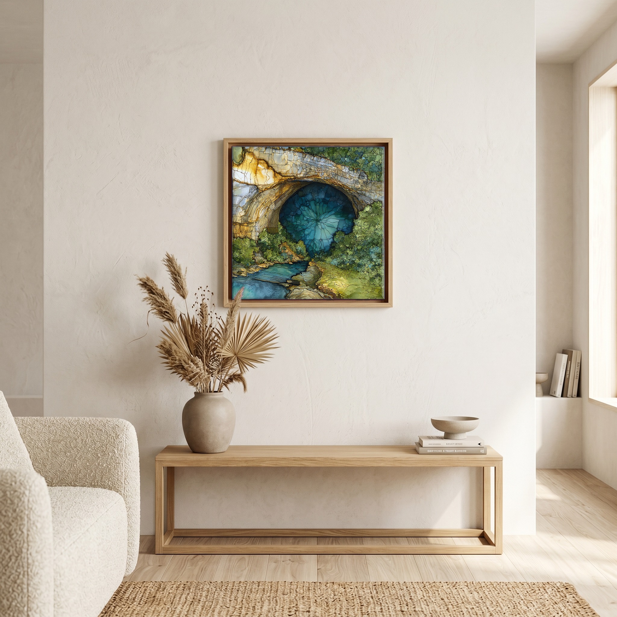
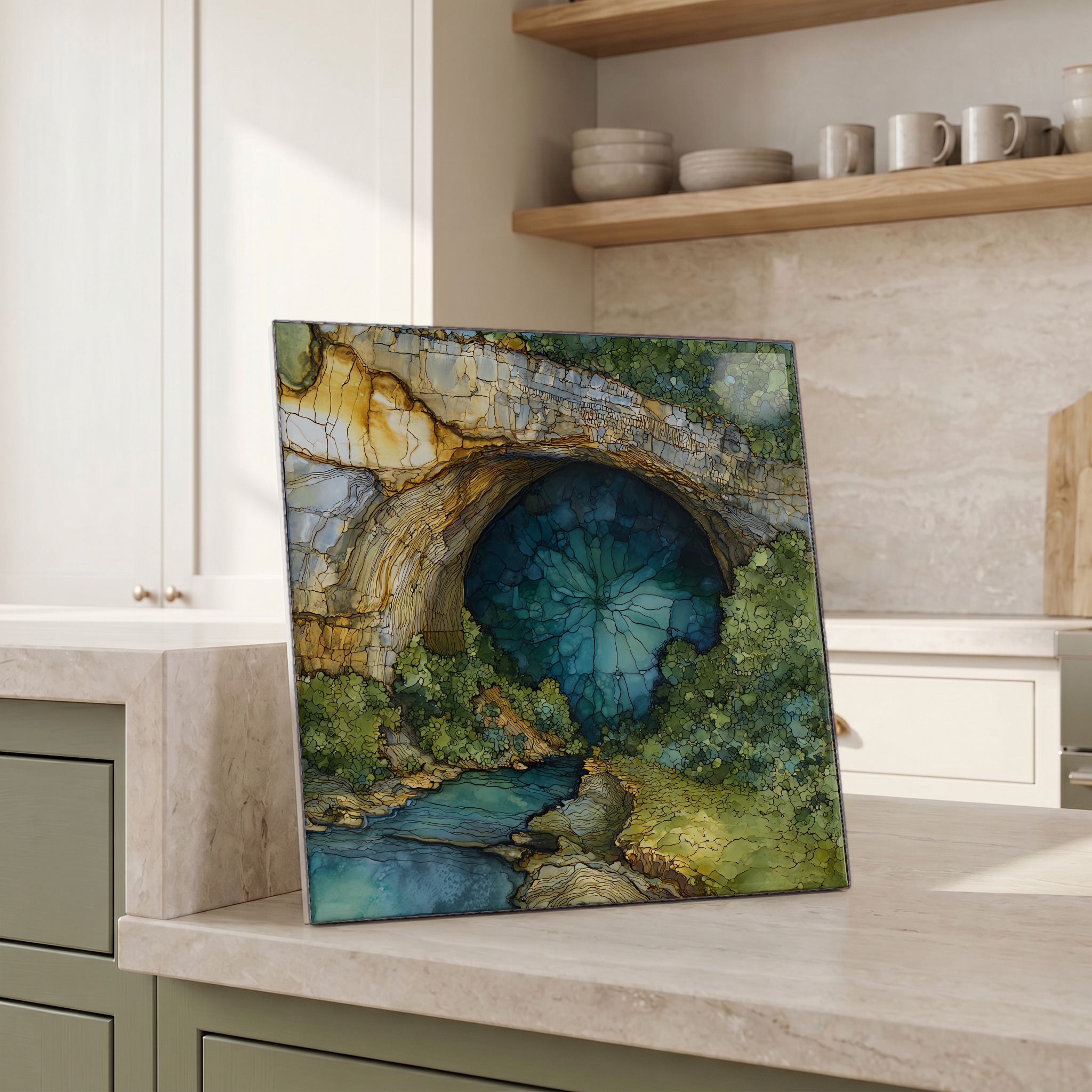
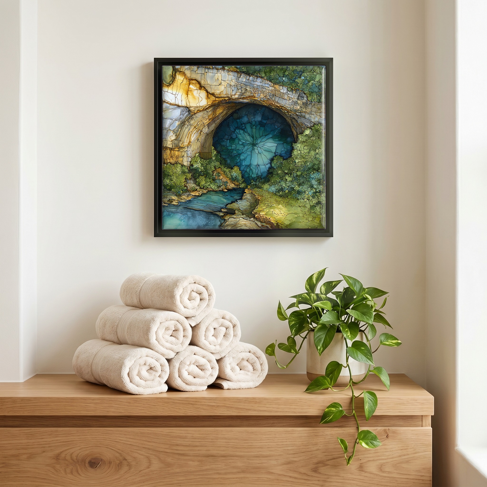
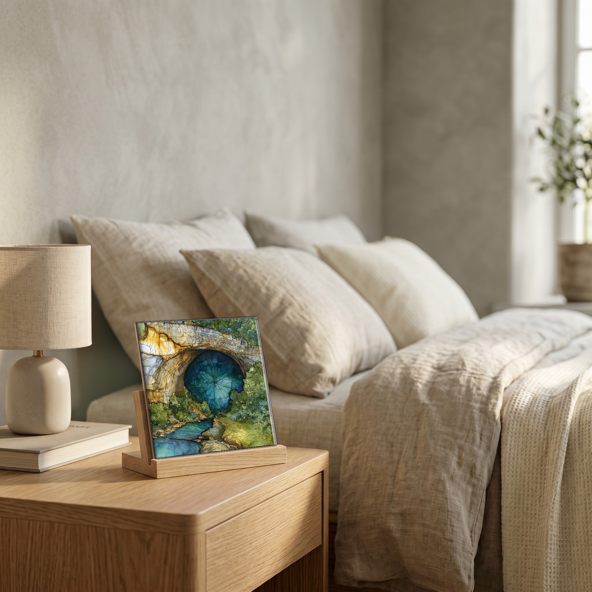
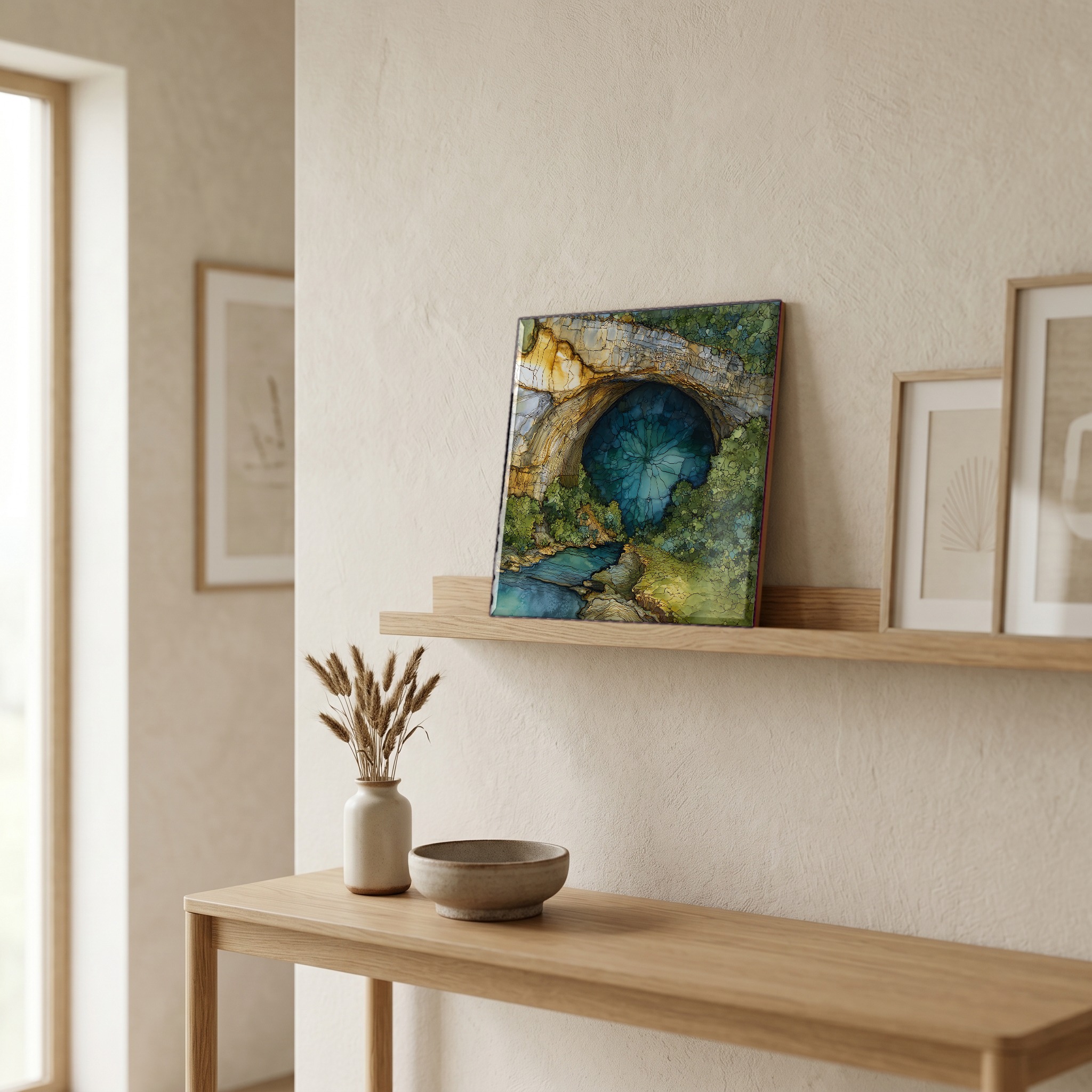
Gouffre de Padirac, on ceramic.
Each tile is finished by hand in our Knoxville studio. Artwork is slowly infused into the ceramic surface under high heat and pressure, and rests beneath a thin glossy finish. The colour lives in the surface, not on top of it.
Pick any four 4-inch tiles — National Parks you've been to, a Smokies set, the four seasons of one place. $ for a set of , cork-backed, ready to live on the table.
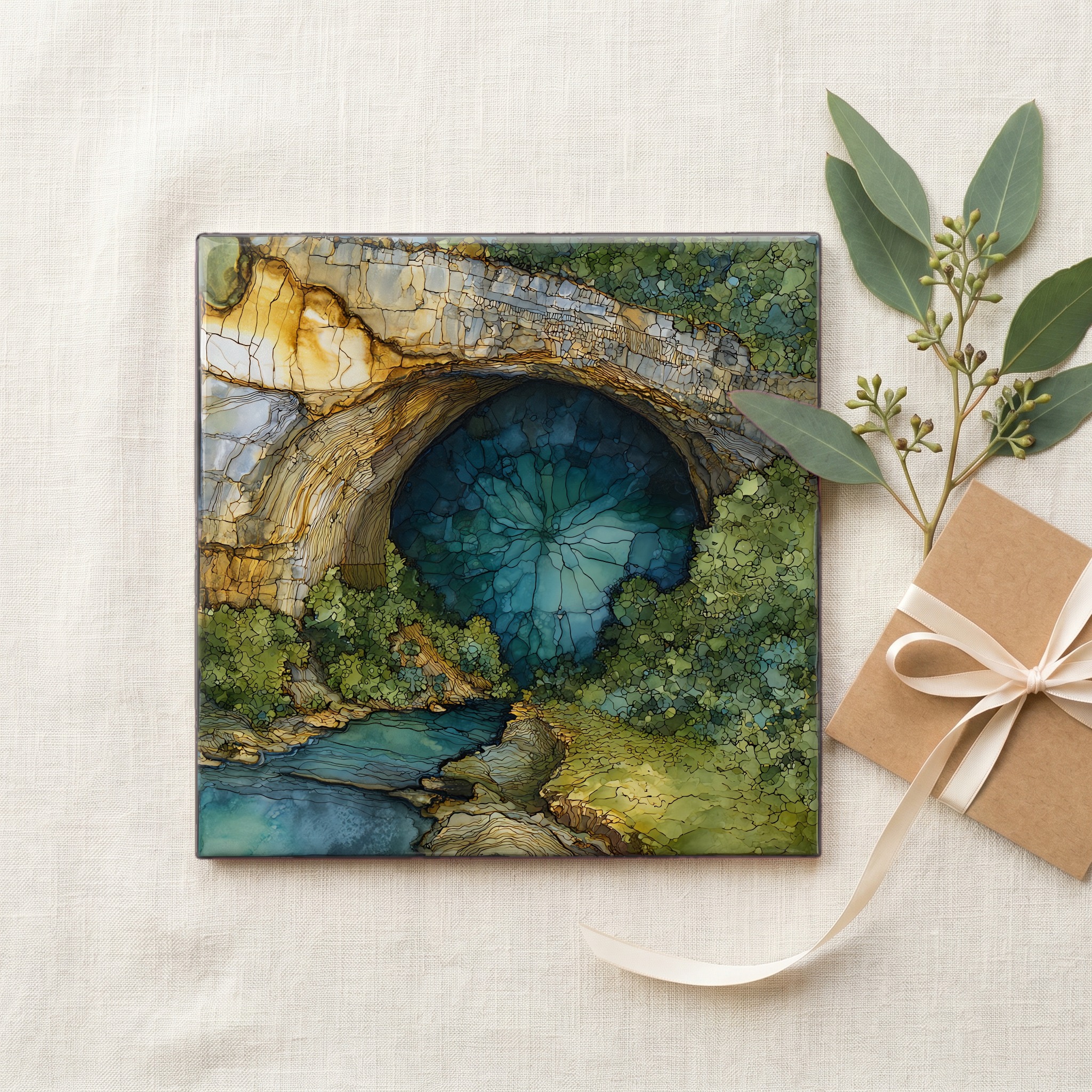
Each tile ships in a kraft box, tied with cream ribbon, with a handwritten note from the studio if you'd like to add one.
Three or five different vistas, hung together — a chapter of places you've been, or want to go.
The place, in three passes.
The Gouffre de Padirac is a karst chasm in the commune of Padirac, in the Lot département of southwest France. It opens on the Causse de Gramat, a high limestone plateau that runs north of Cahors and south of the Dordogne valley, about thirteen kilometres from the medieval pilgrimage town of Rocamadour. The chasm itself is roughly thirty-five metres across at the rim and descends seventy-five metres to the underground river that gives the site its character. Access is by way of the village of Padirac, off the D673; a regional shuttle runs from Rocamadour in summer. The plateau is part of the Parc naturel régional des Causses du Quercy, designated in 1999.
At the foot of the descent runs the Plain River, an underground tributary of the Dordogne basin fed by rainwater filtering through the limestone of the Causse de Gramat. The water moves slowly, clear and cold. Visitors travel by flat-bottomed boat for about a kilometre to the head of navigation, then continue on foot through chambers carved out over millions of years of dissolution. The river surfaces again at the Saint-Sauveur and Lombard springs, near the village of Montvalent on the Dordogne, more than ten kilometres away. Édouard-Alfred Martel, the French speleologist often called the father of cave science, descended the chasm in 1889 and traced the river's underground course.
The site has been open to the public since 1899, ten years after Martel's first descent. The visit season runs from late March to early November; access is closed in winter when groundwater rises and the river is unsafe for boats. Tickets are timed, and reservation is recommended in July and August. Visitors descend by lift or by stairs to the river platform, more than seventy metres below the rim, then continue on foot. The full circuit takes around ninety minutes. Photography is permitted but tripods and drones are not. The river itself is off-limits for swimming.